


Vintage Shaded Relief Maps


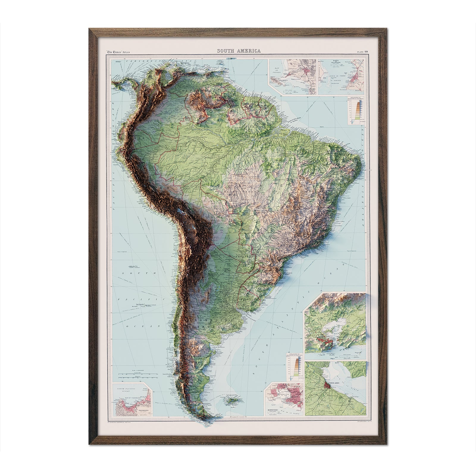
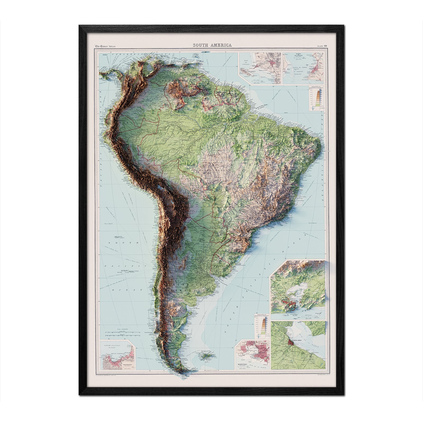


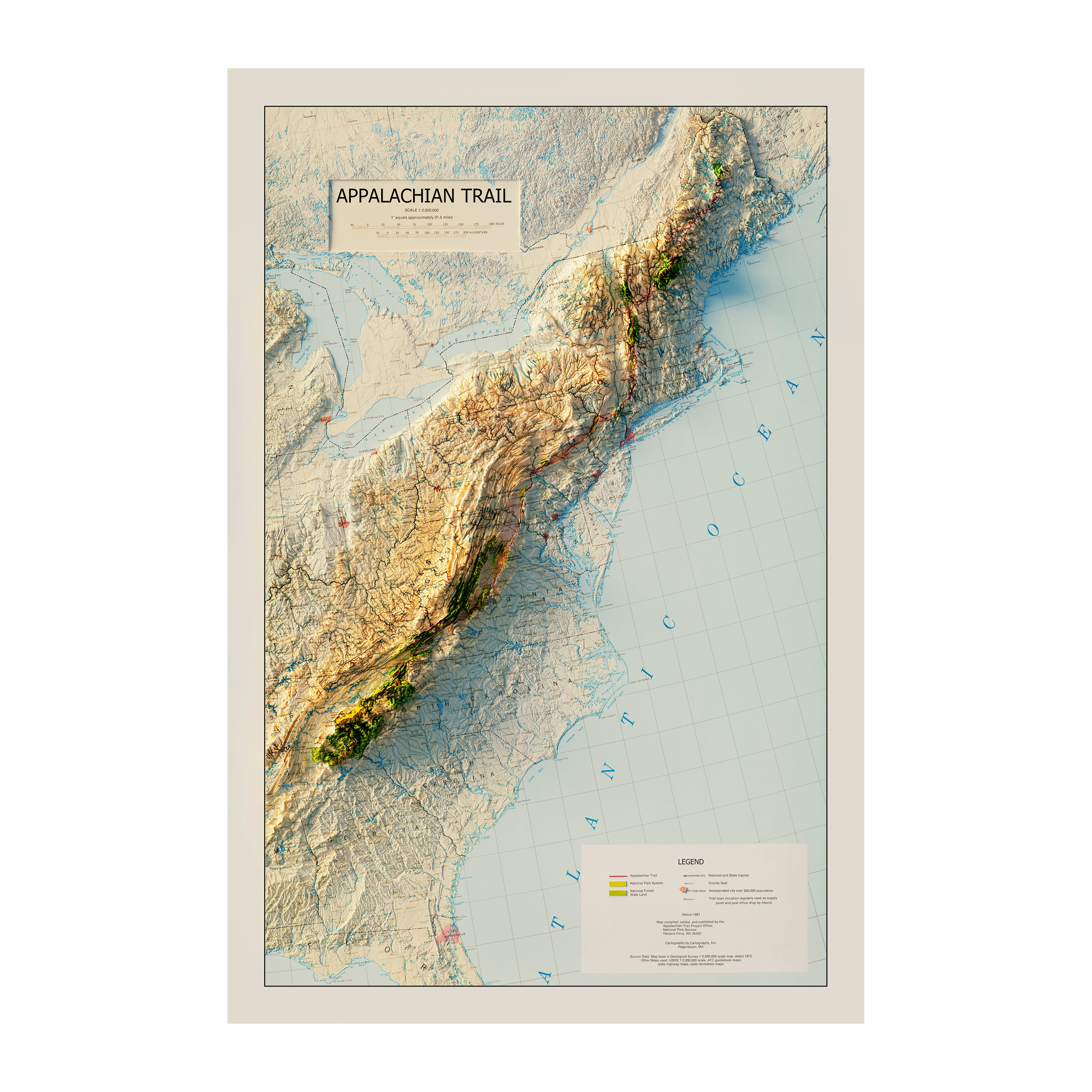
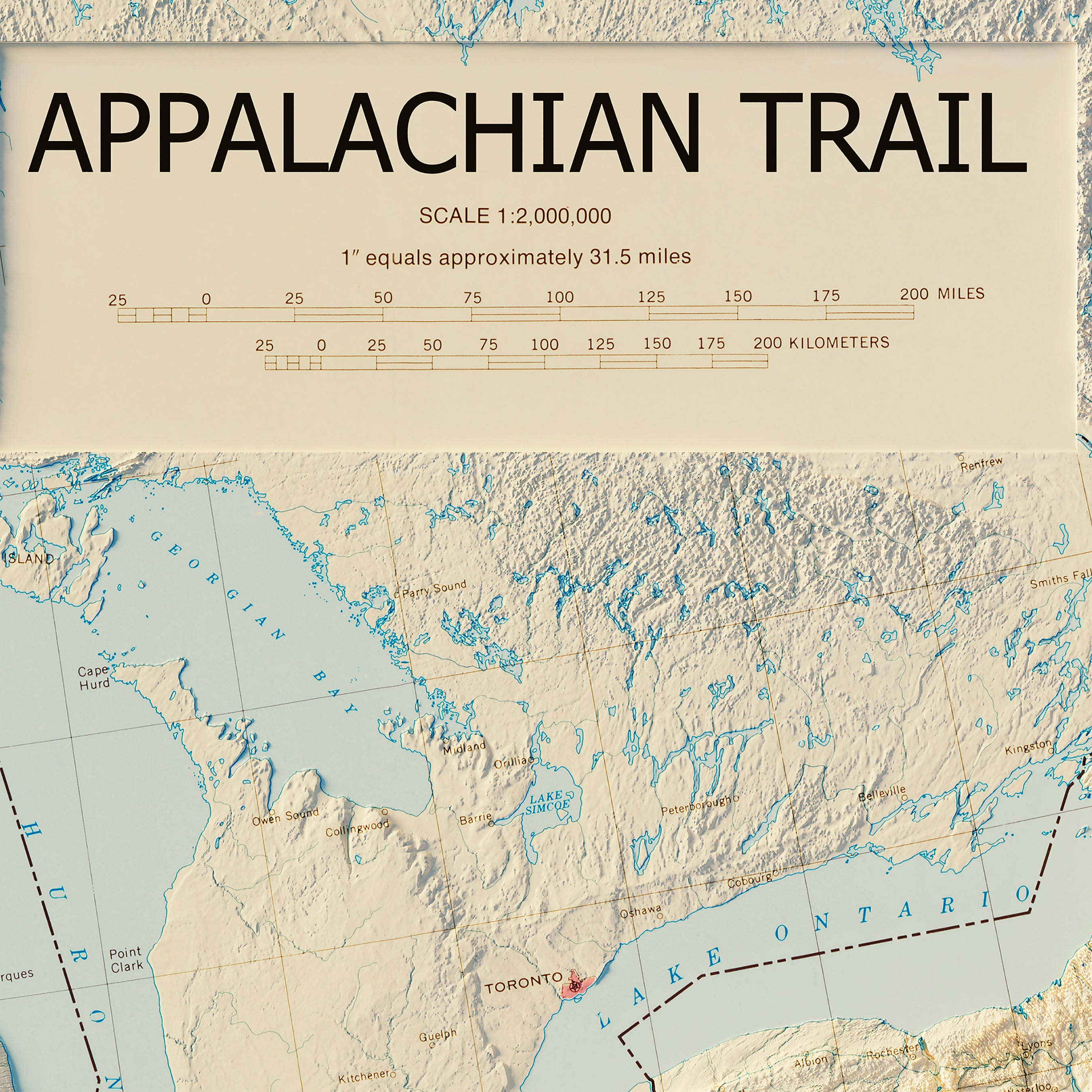
Explore terrain in a whole new way with our Vintage Relief Maps
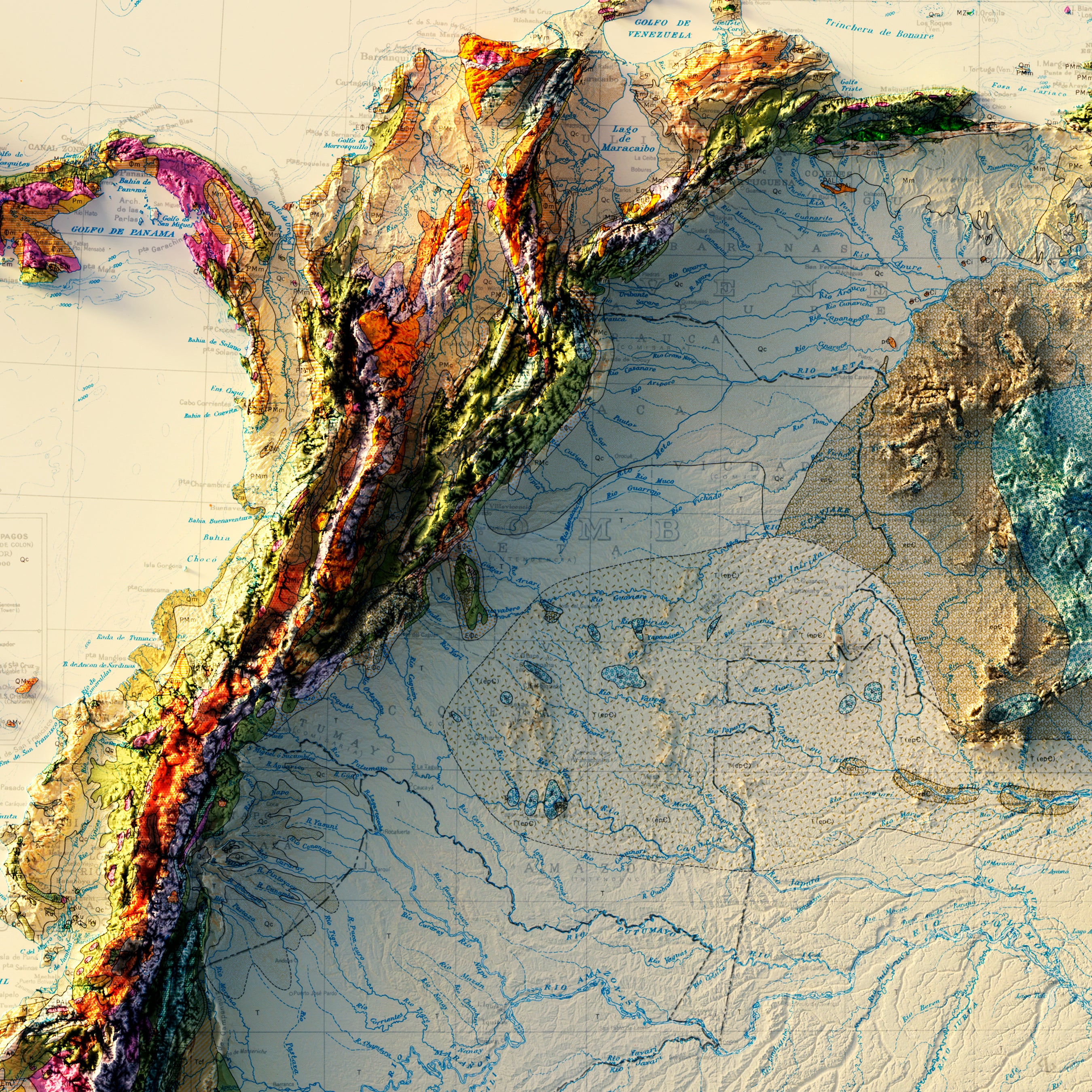
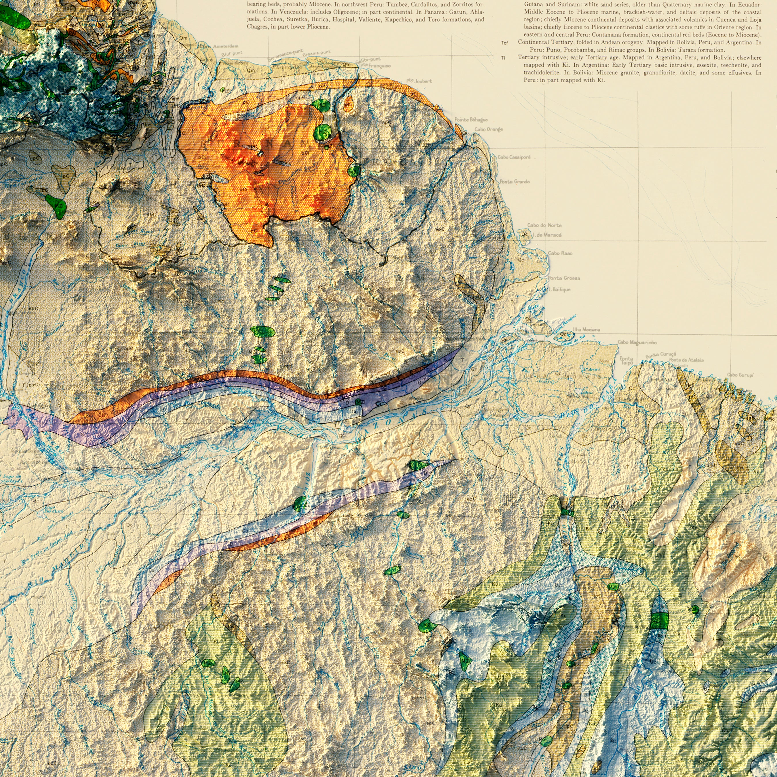
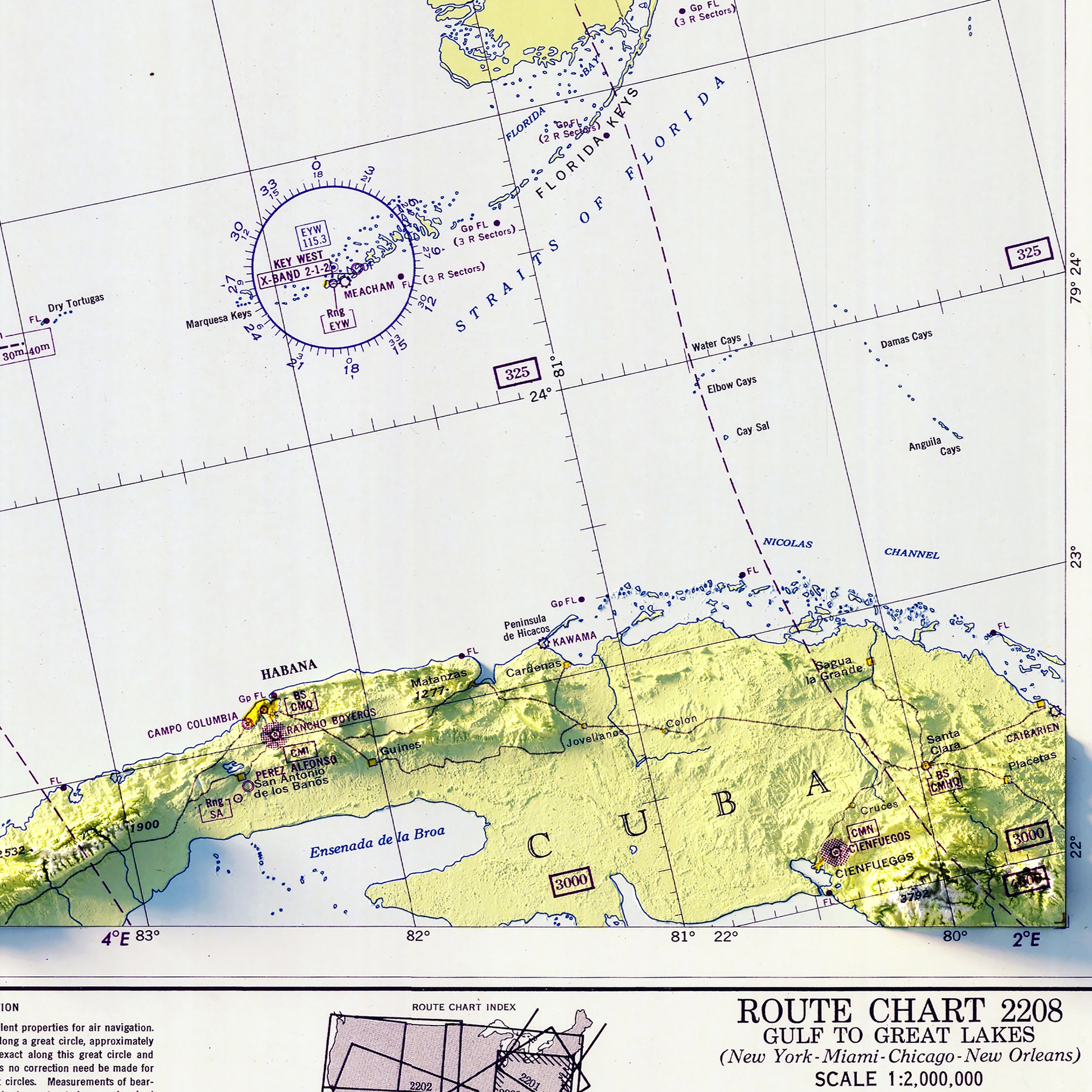
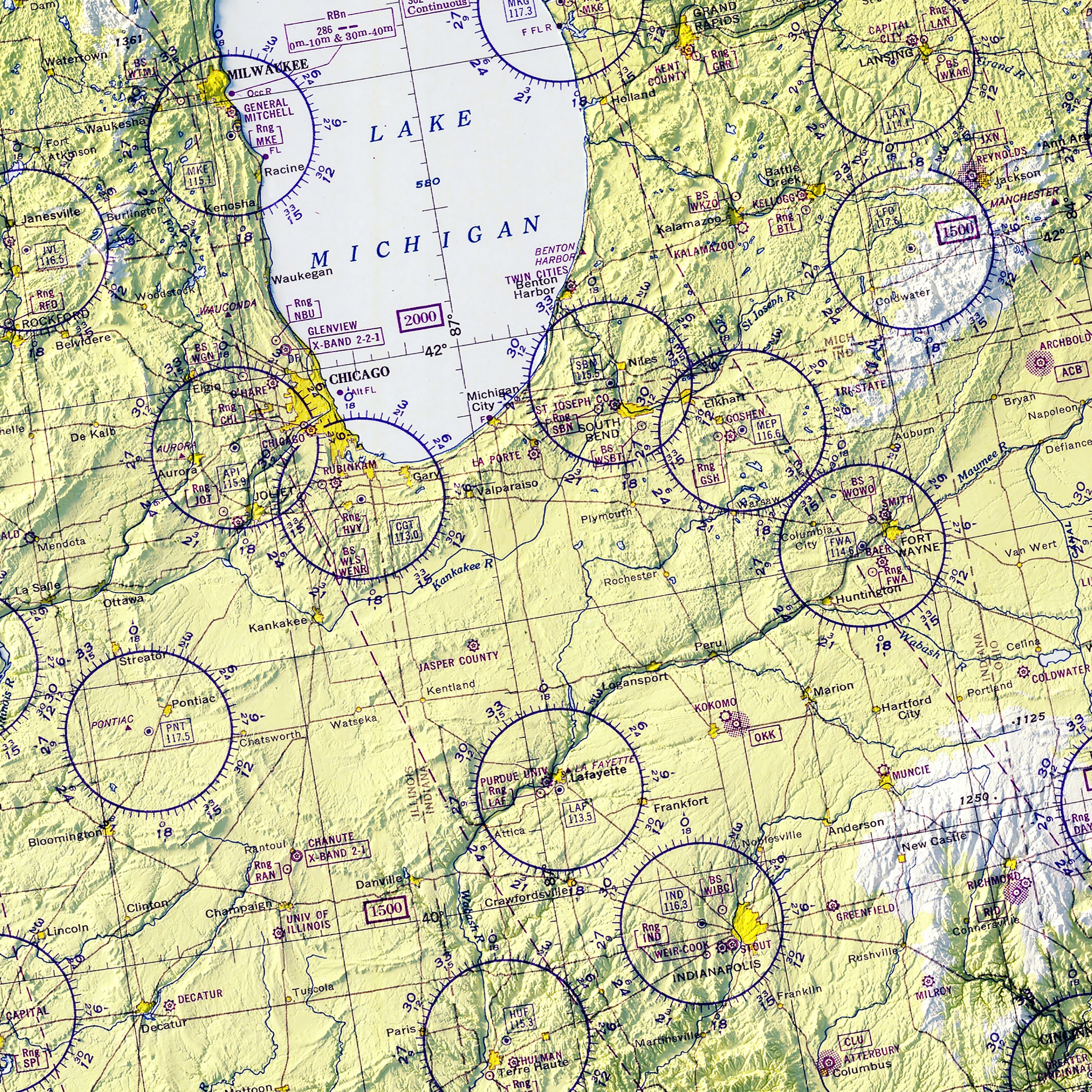
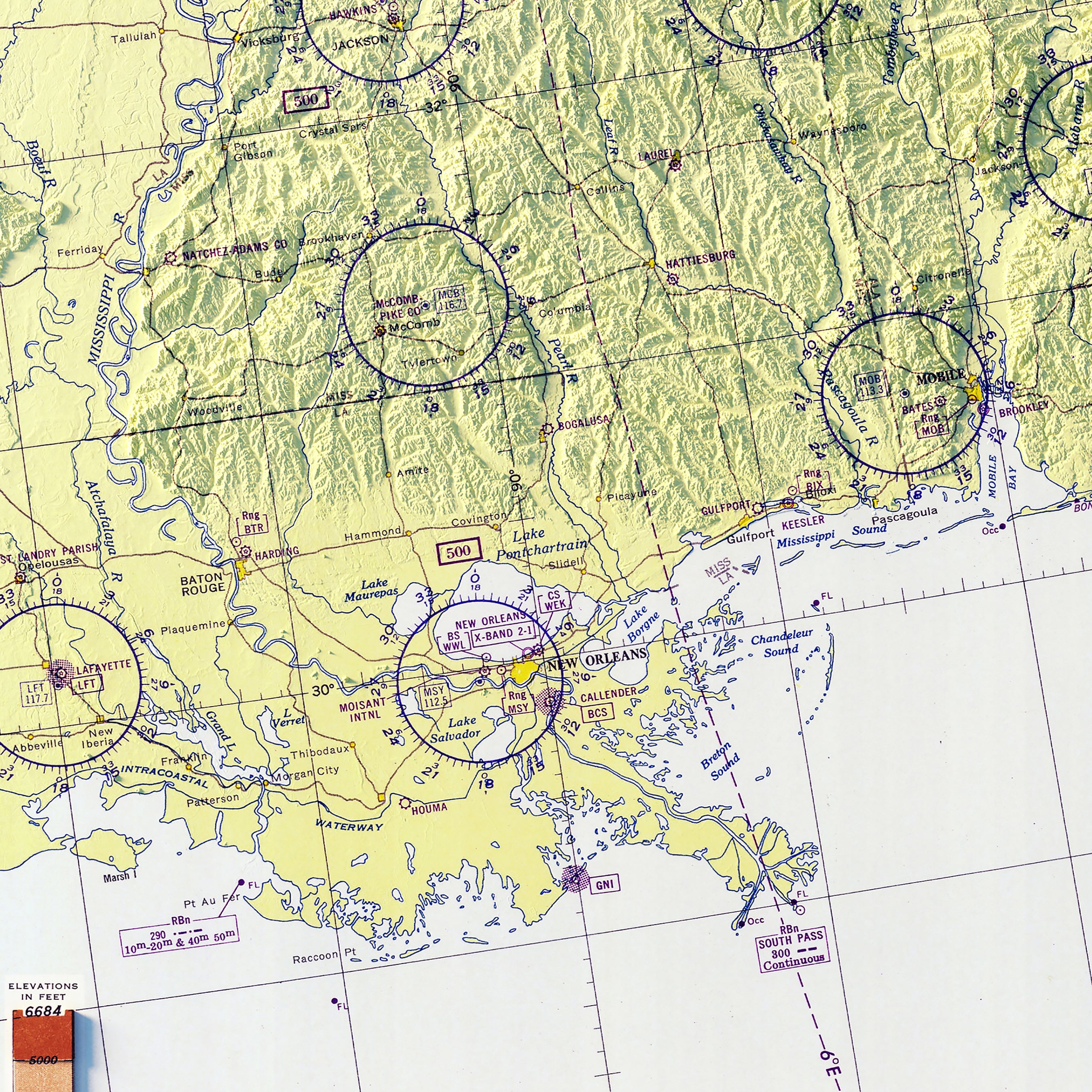
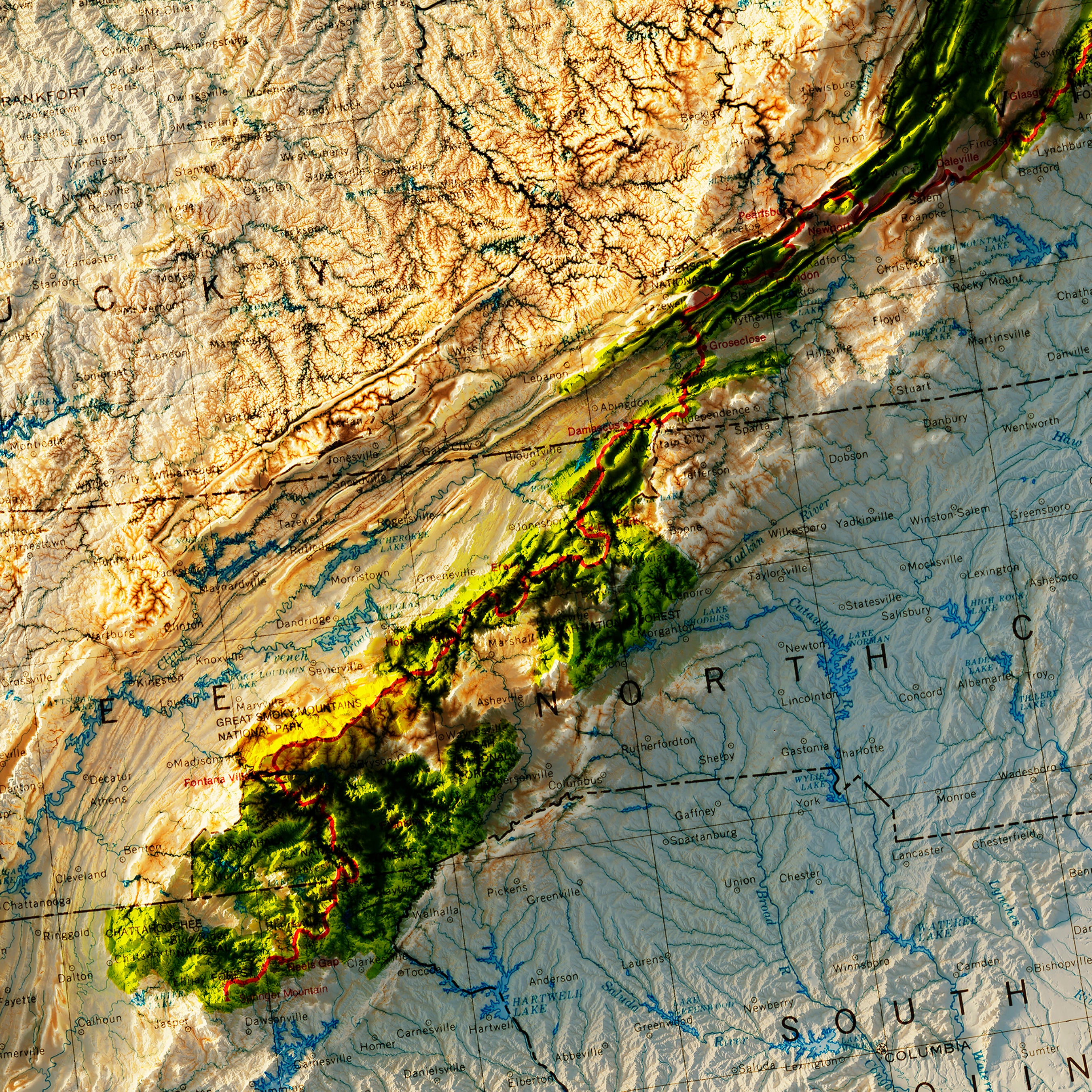
Our vintage shaded relief maps offer a journey through time, where you can trace society's steps, witness the evolution of nations, and understand how geographical knowledge has expanded over the decades. From our maps of Continents to National Park maps, to our collection of 1970 National Atlas maps, there is something you’re sure to love in this collection.
The Different Types of Vintage Relief Maps We Have in Store For You
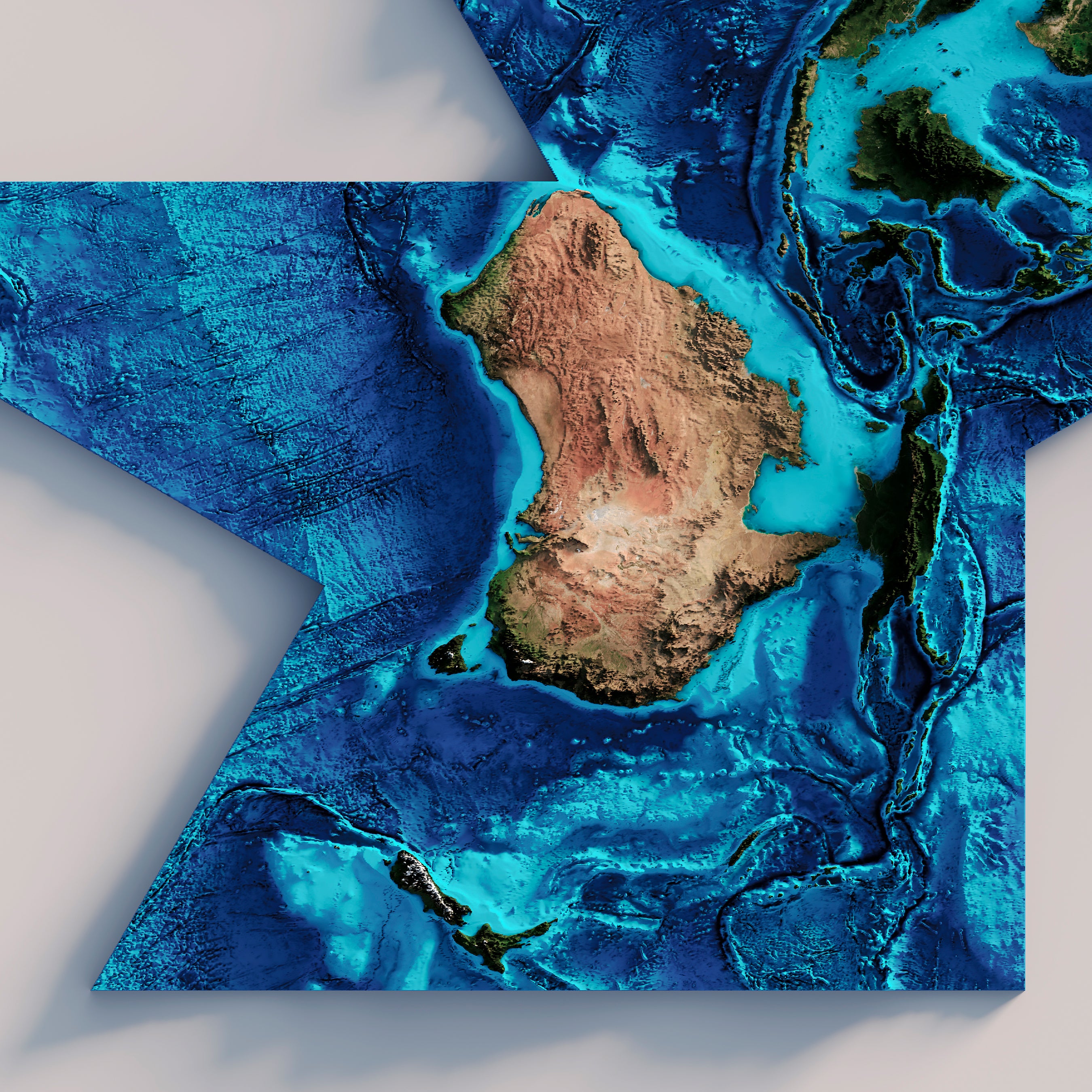
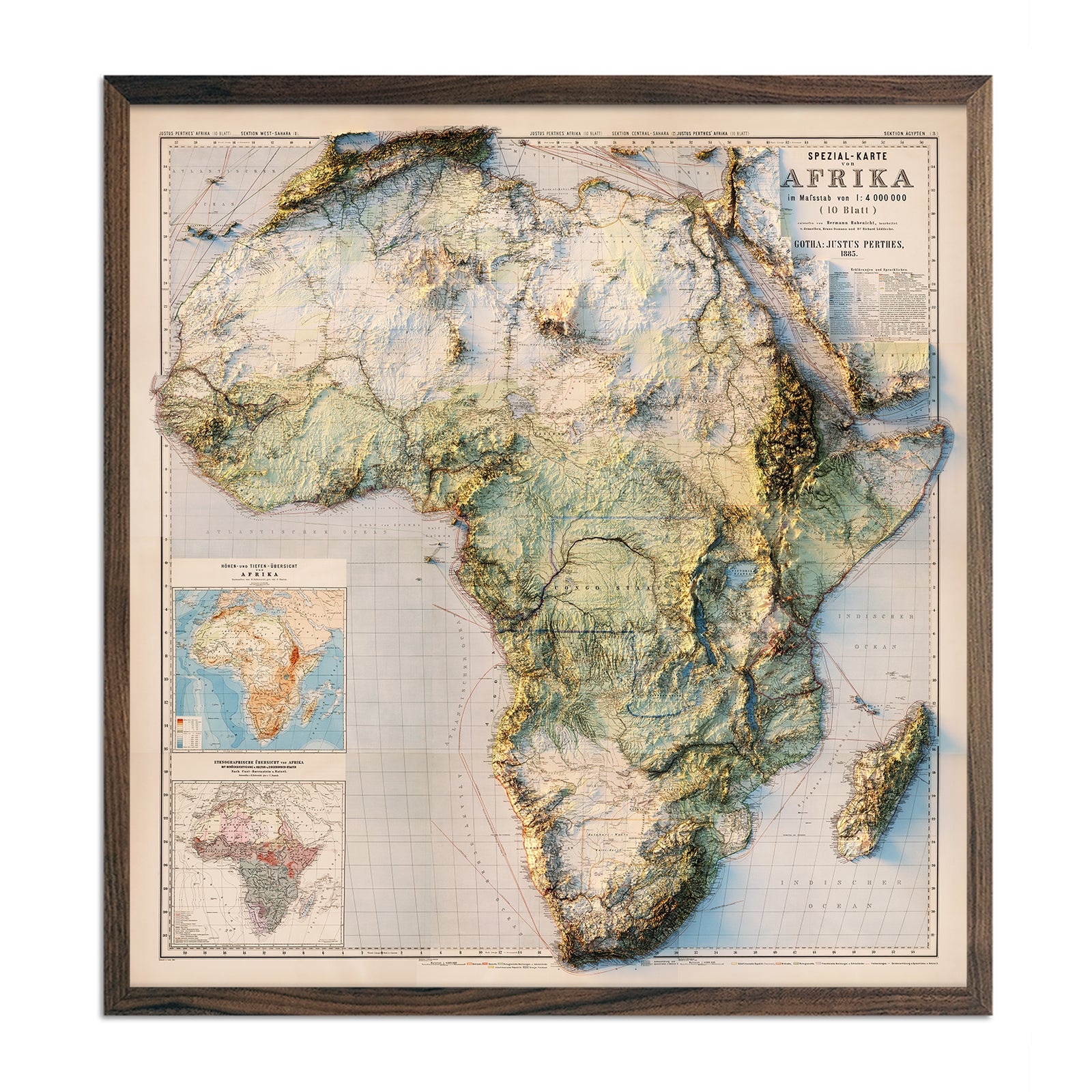
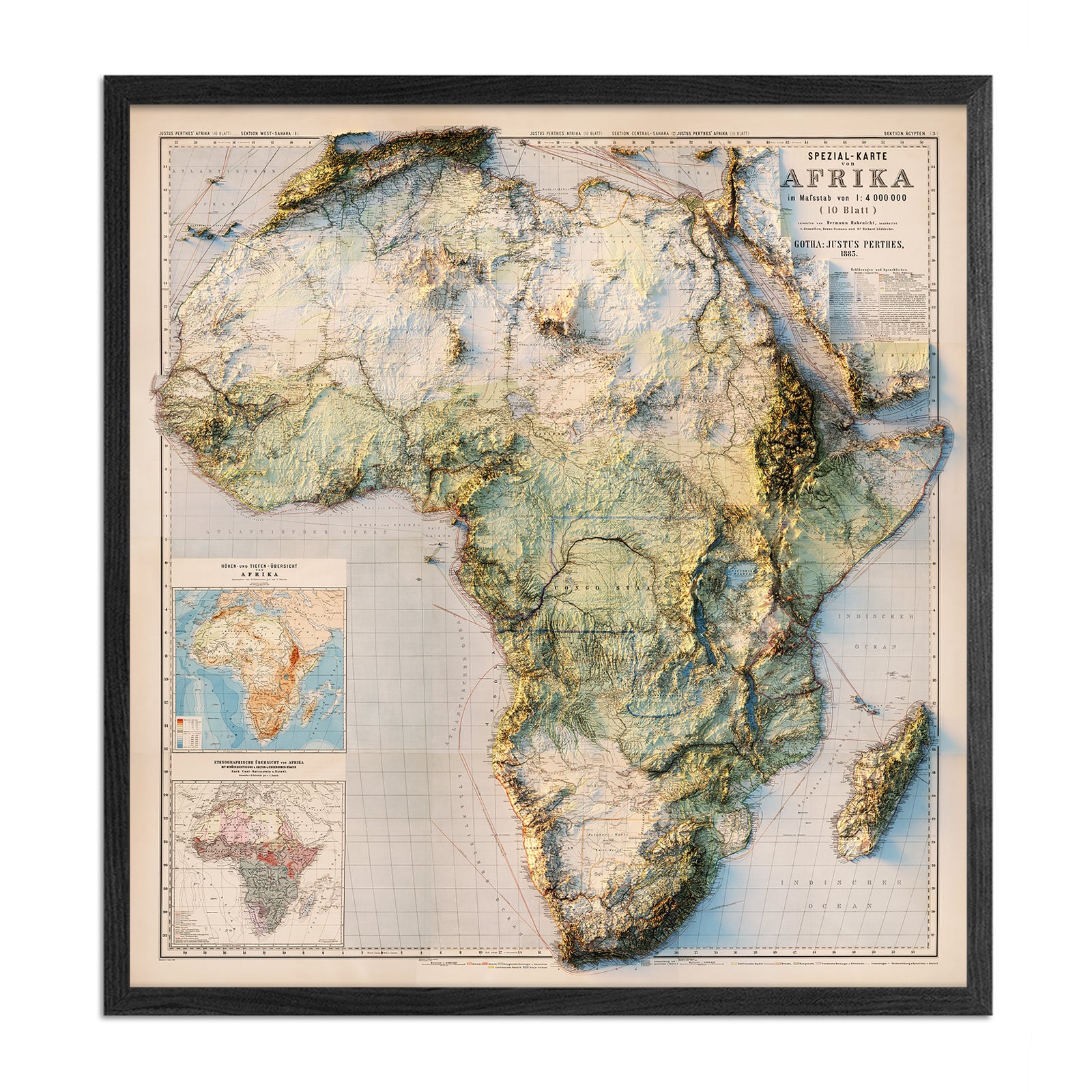
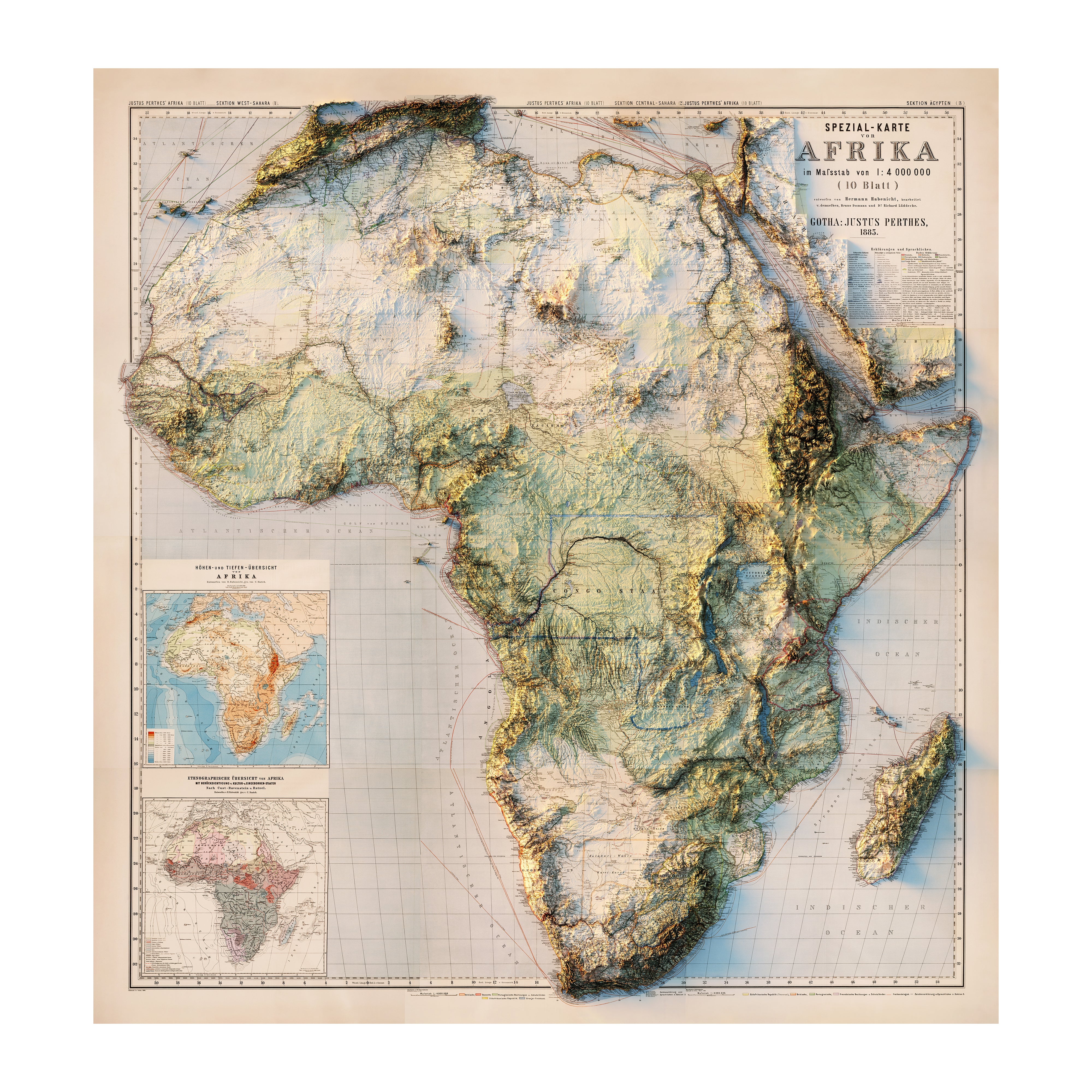
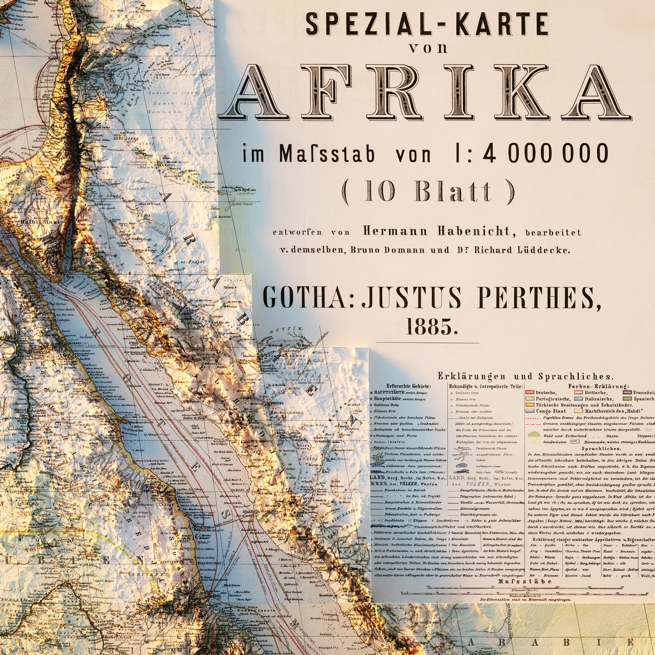
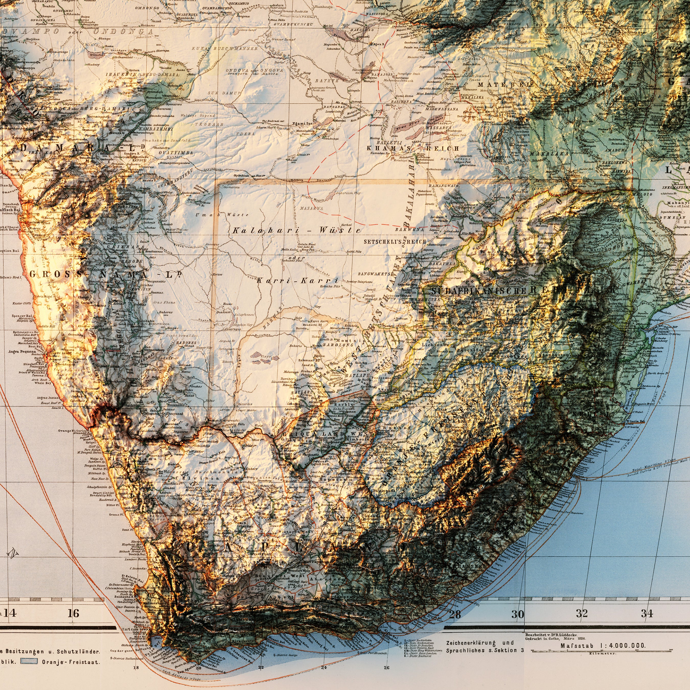
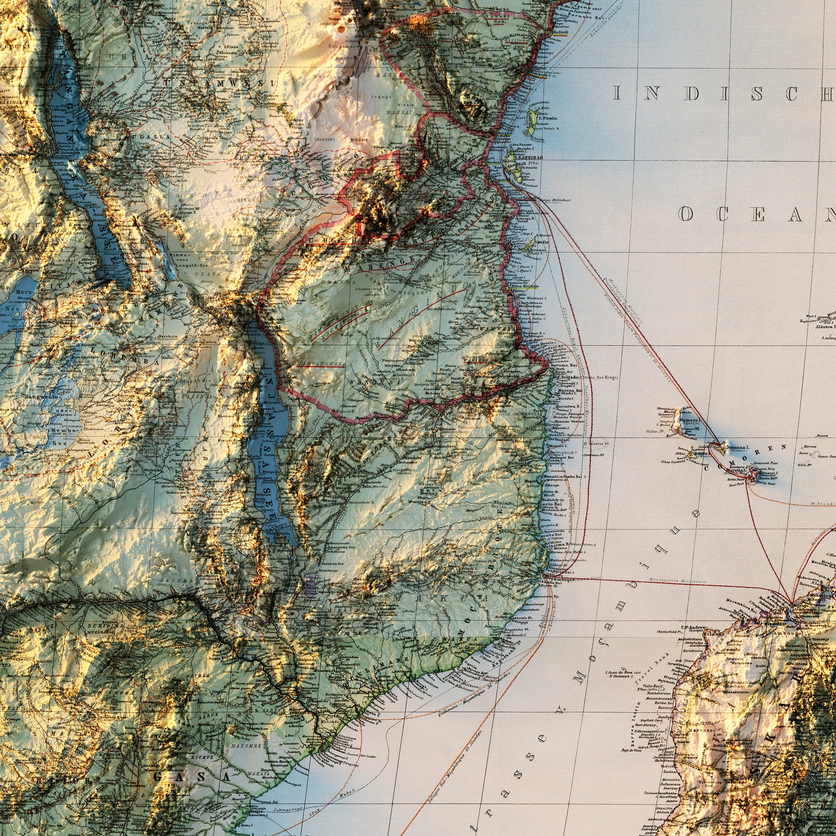
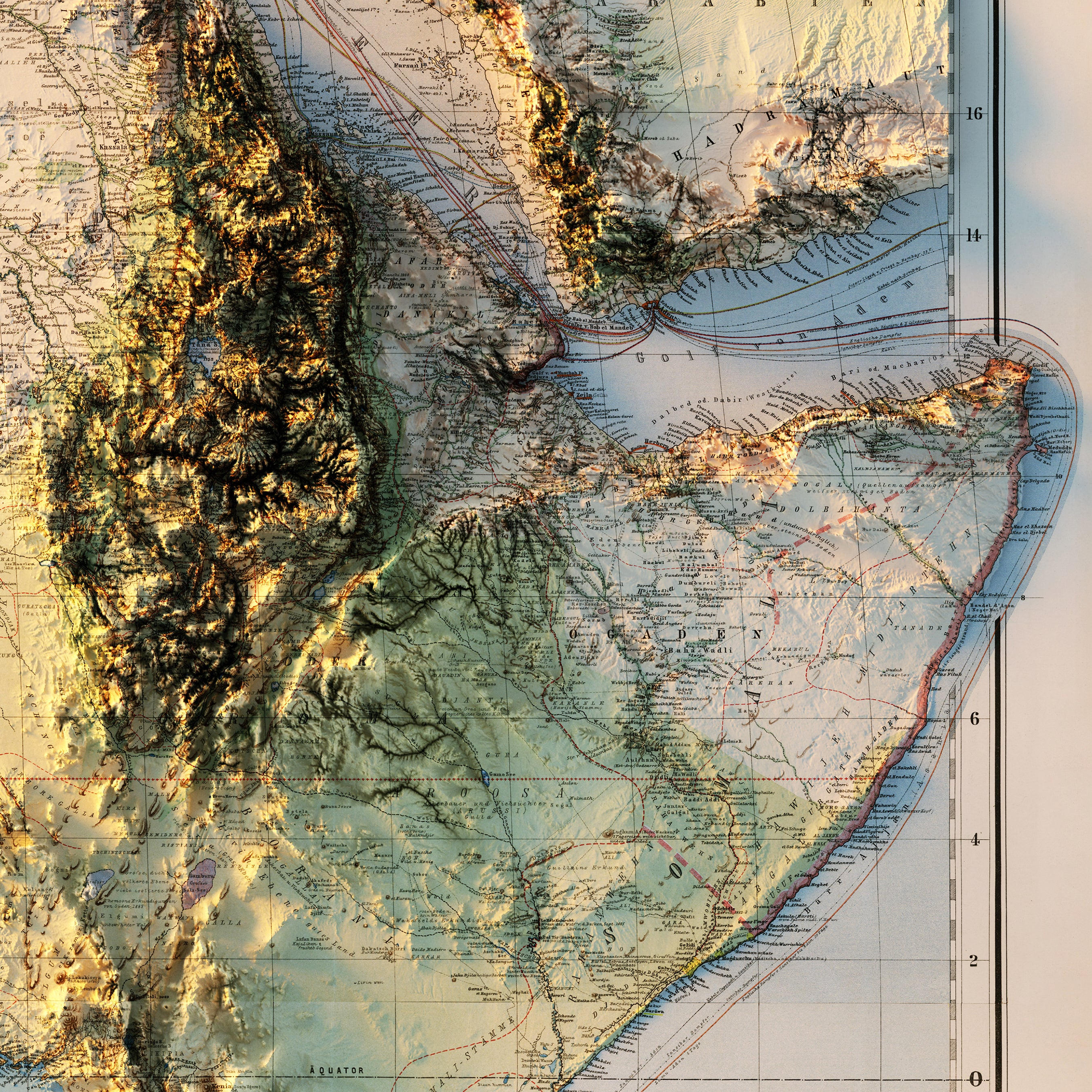
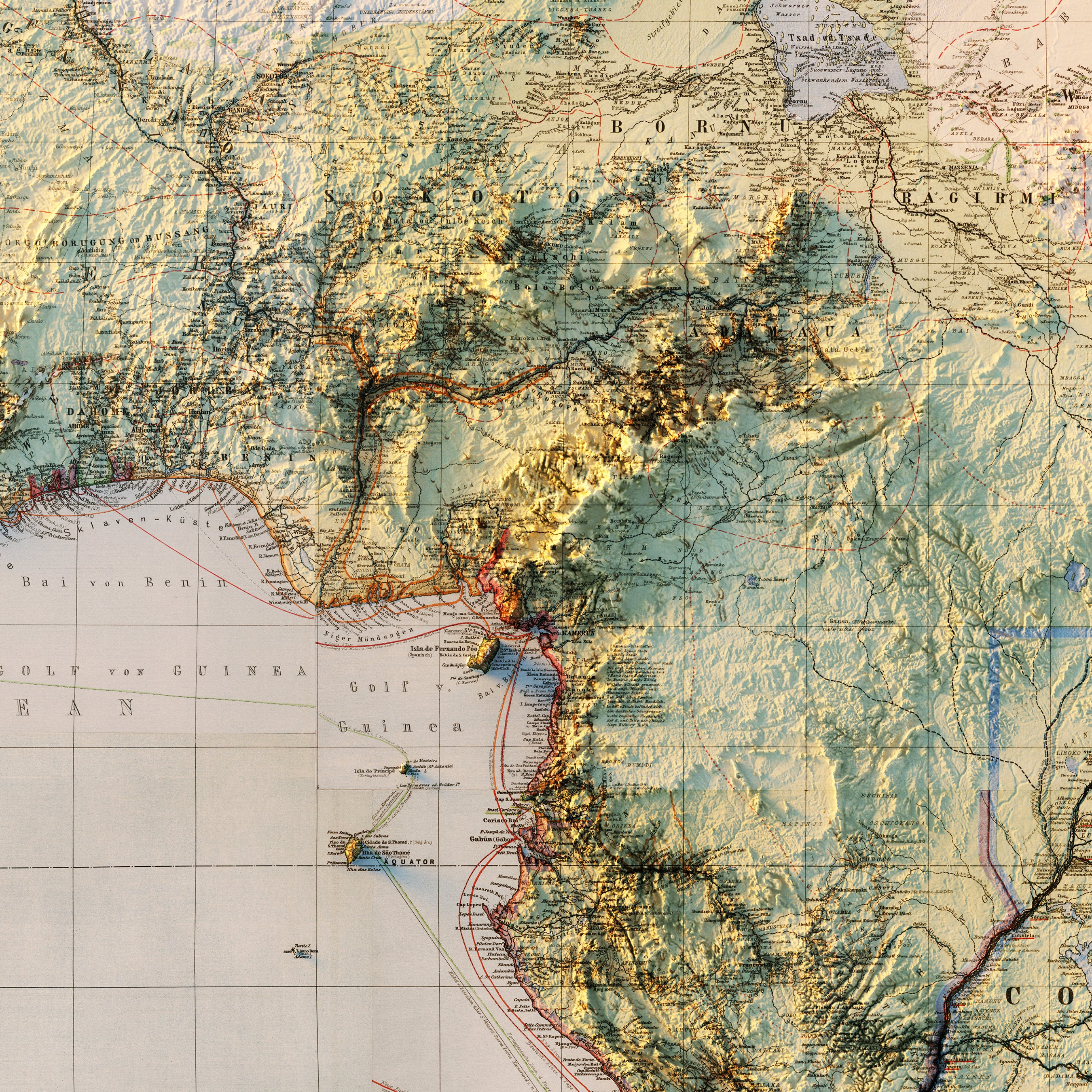
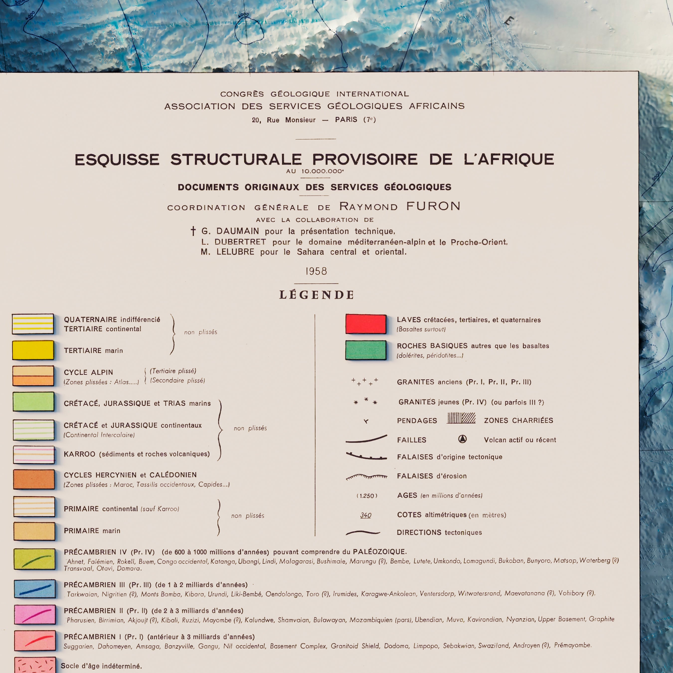
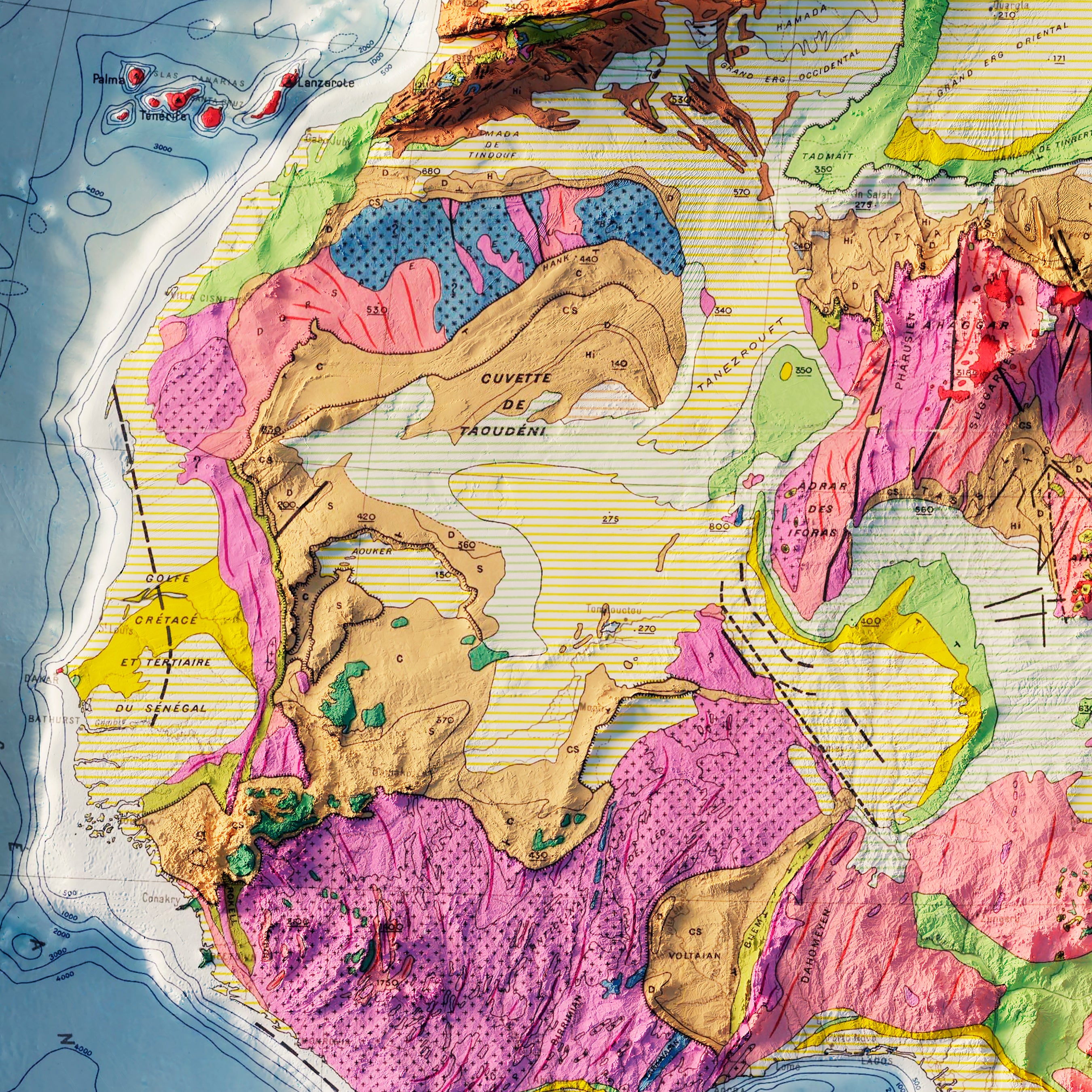
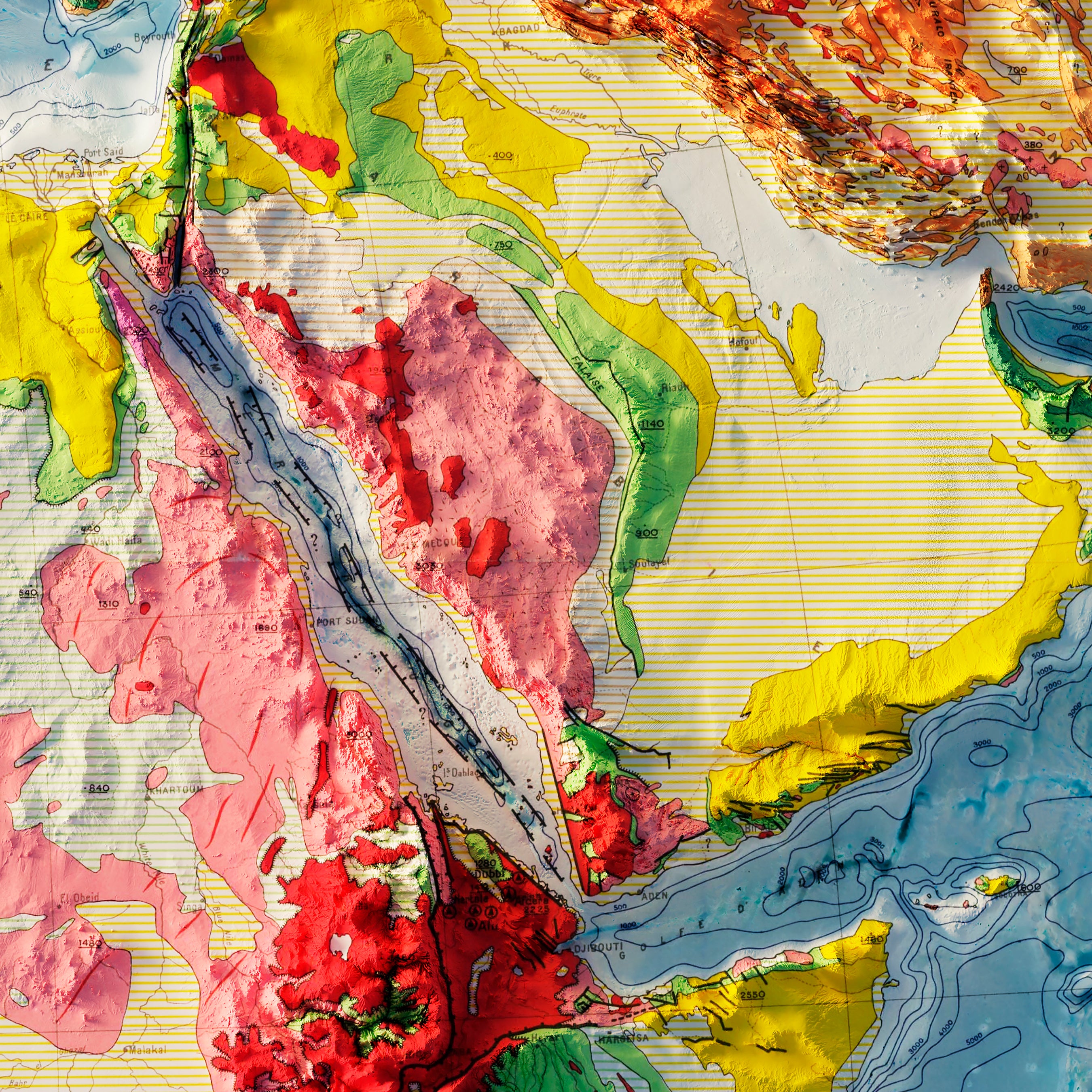
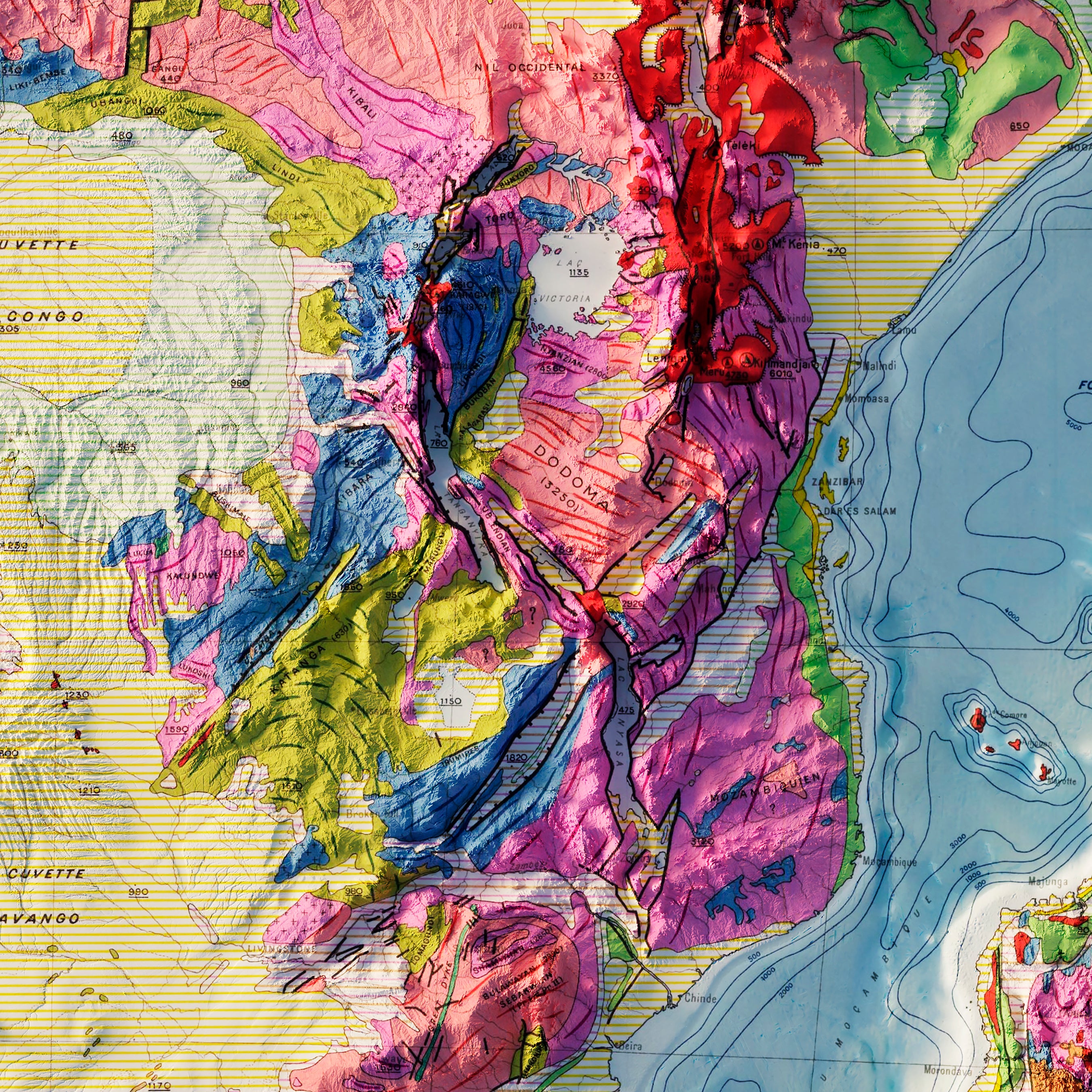
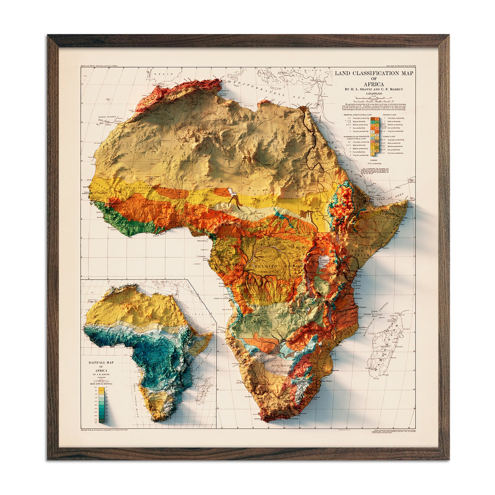
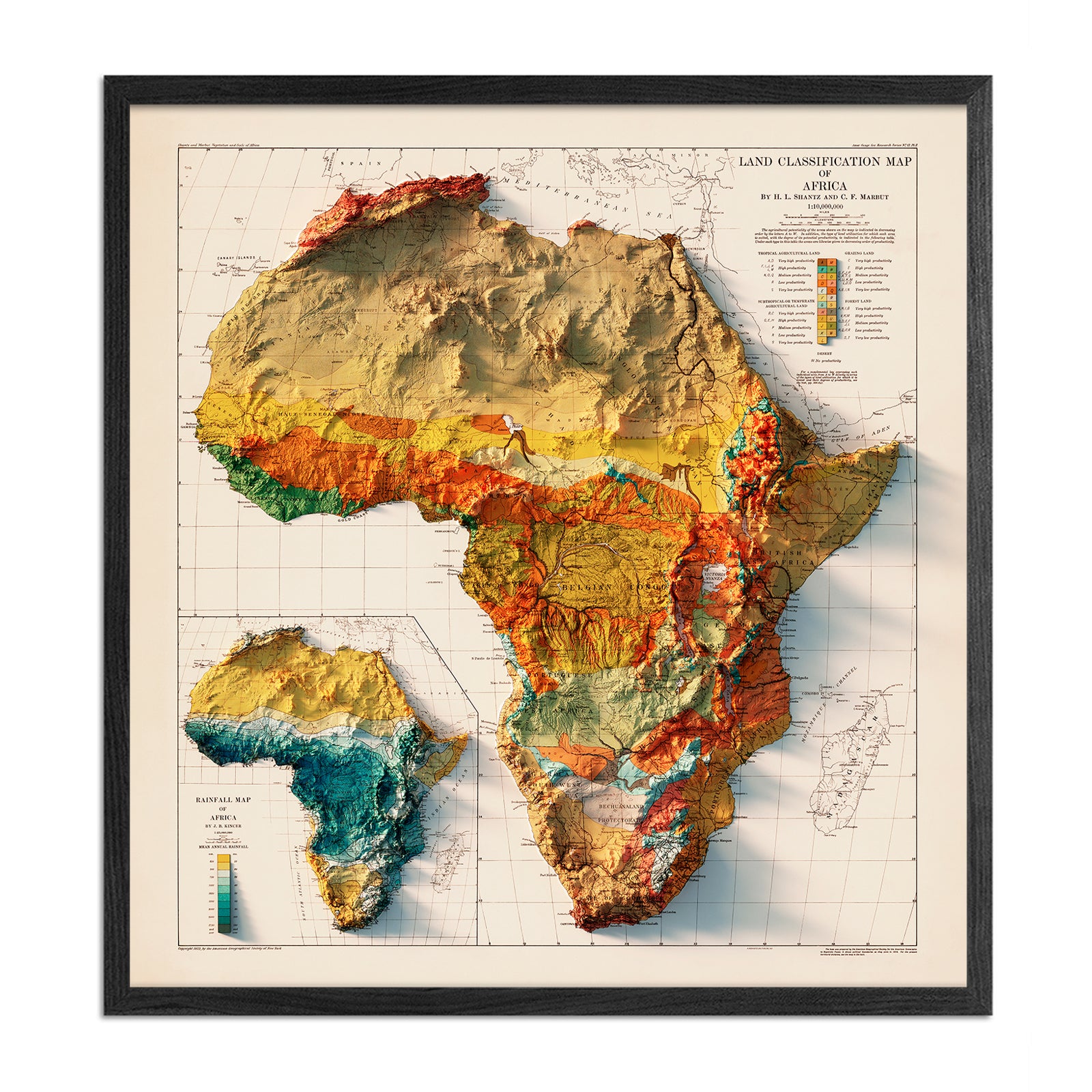
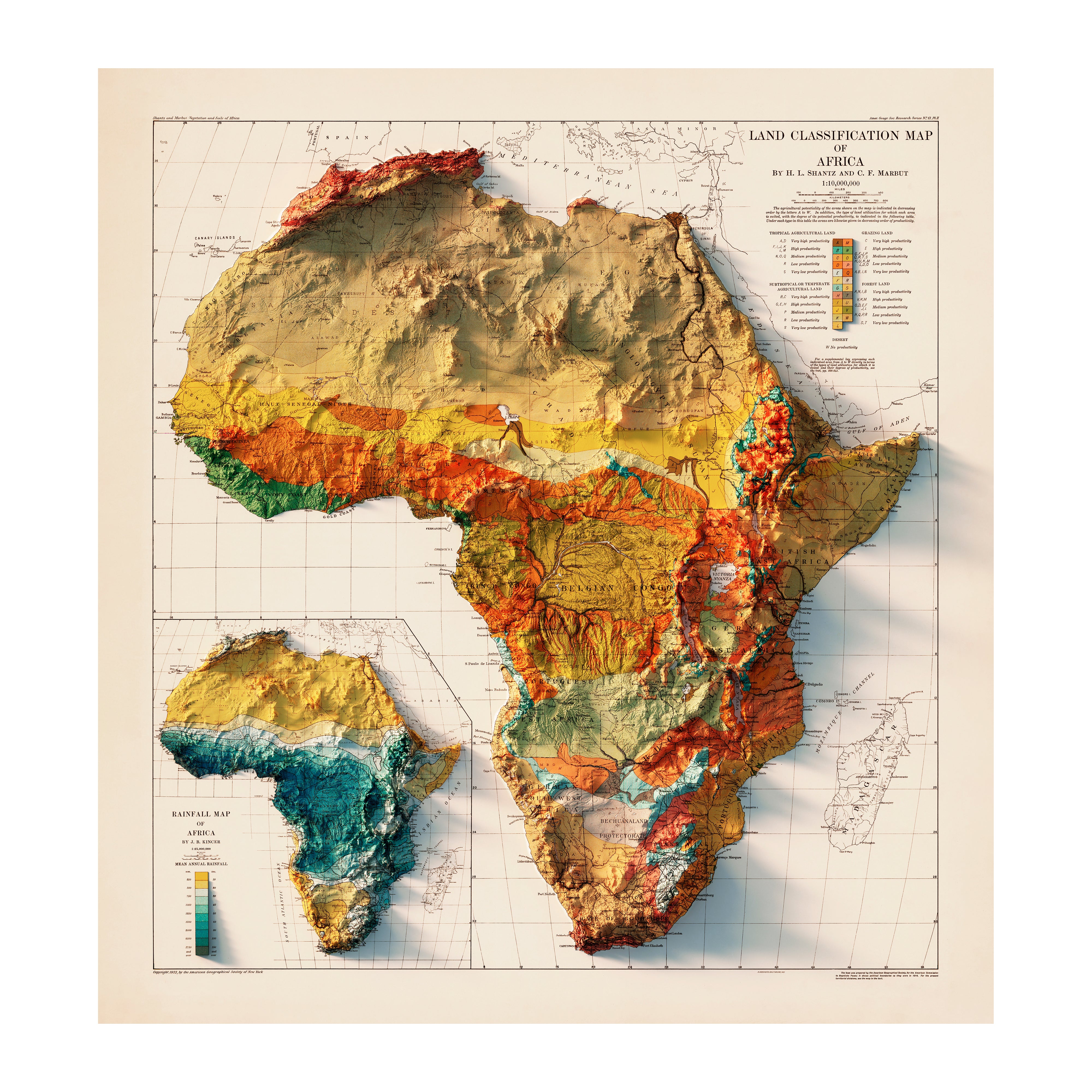
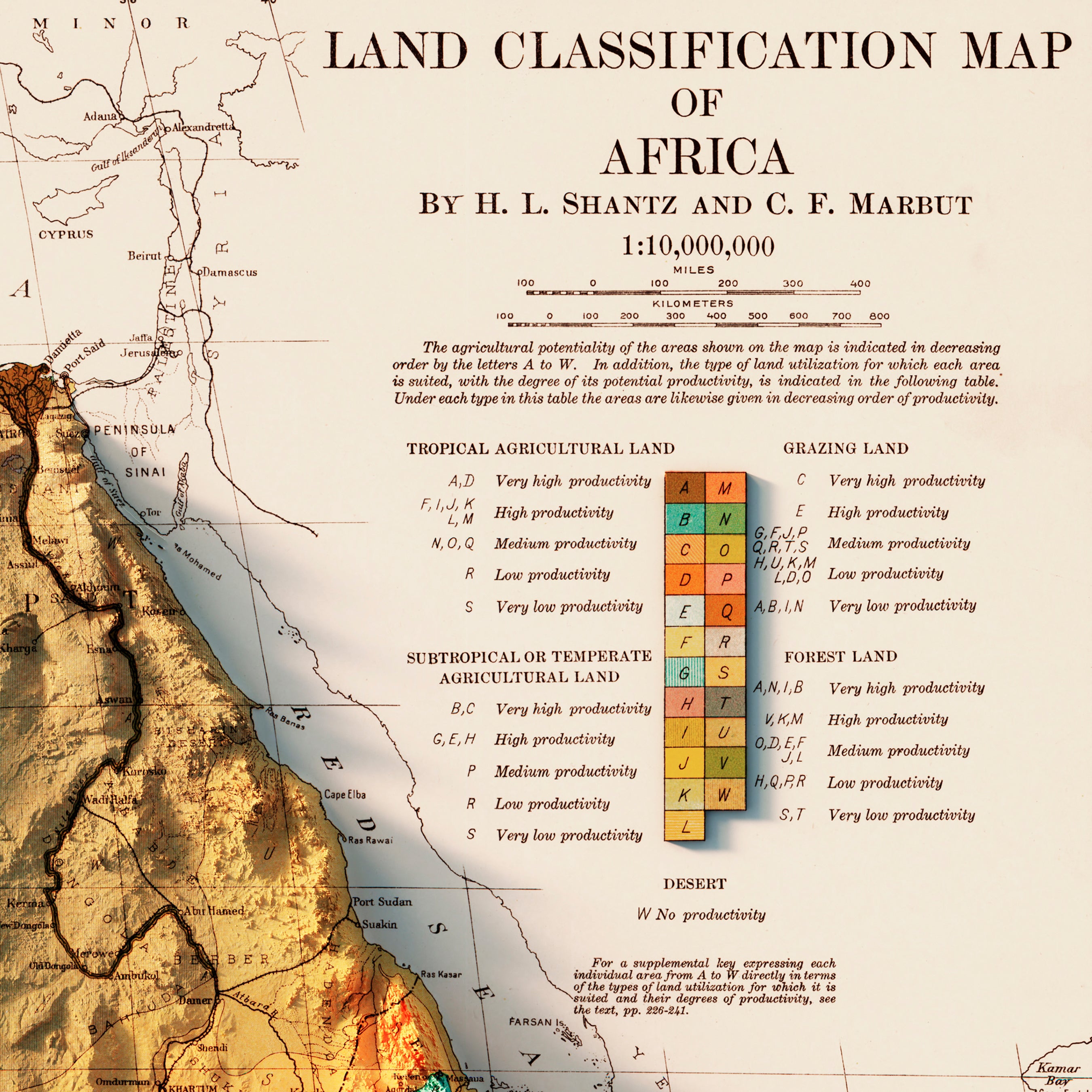
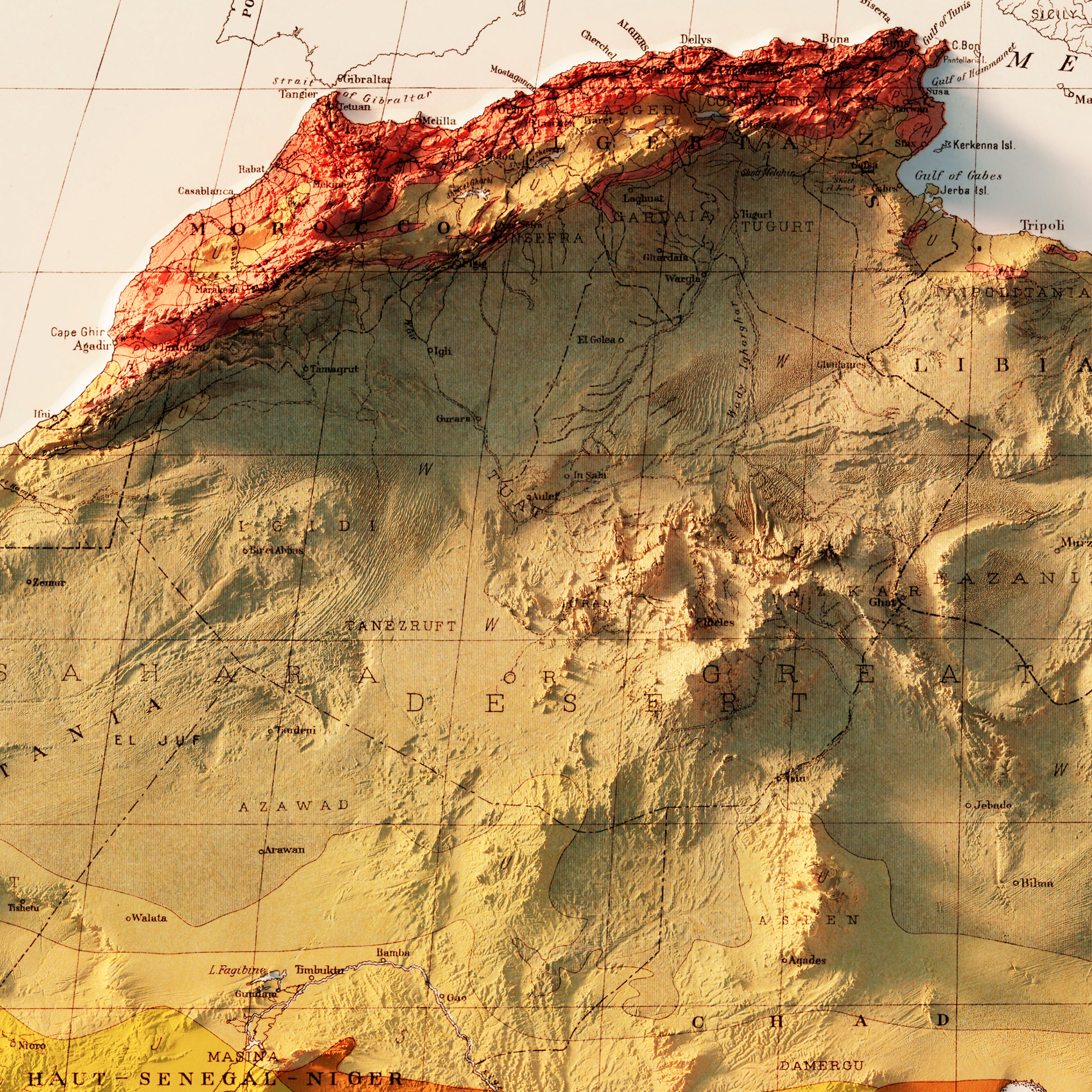
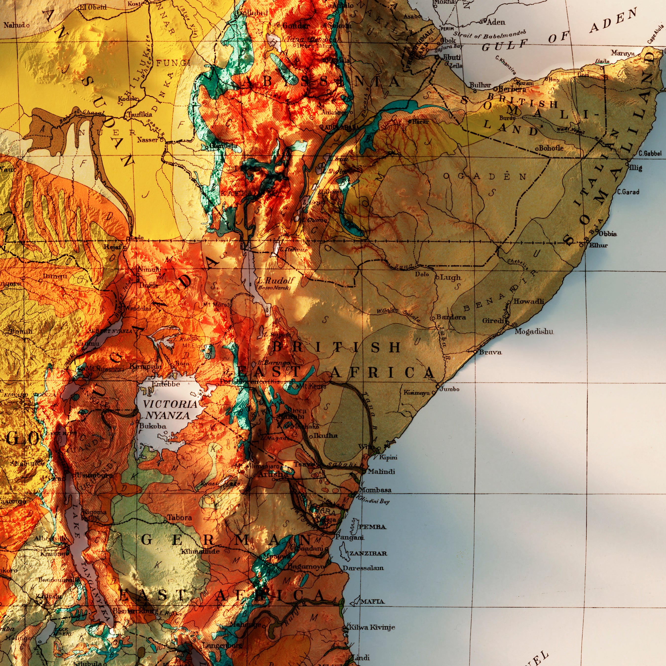
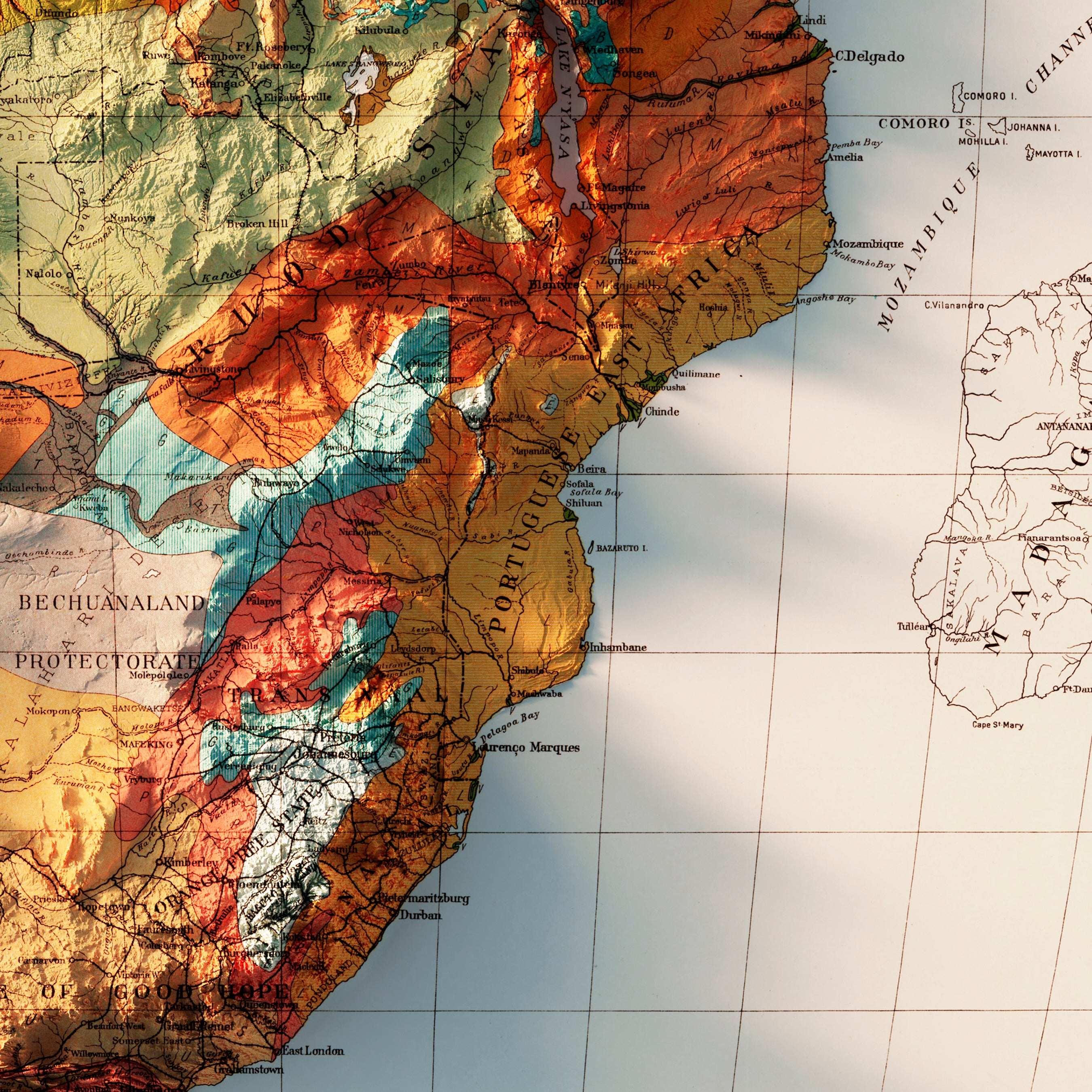
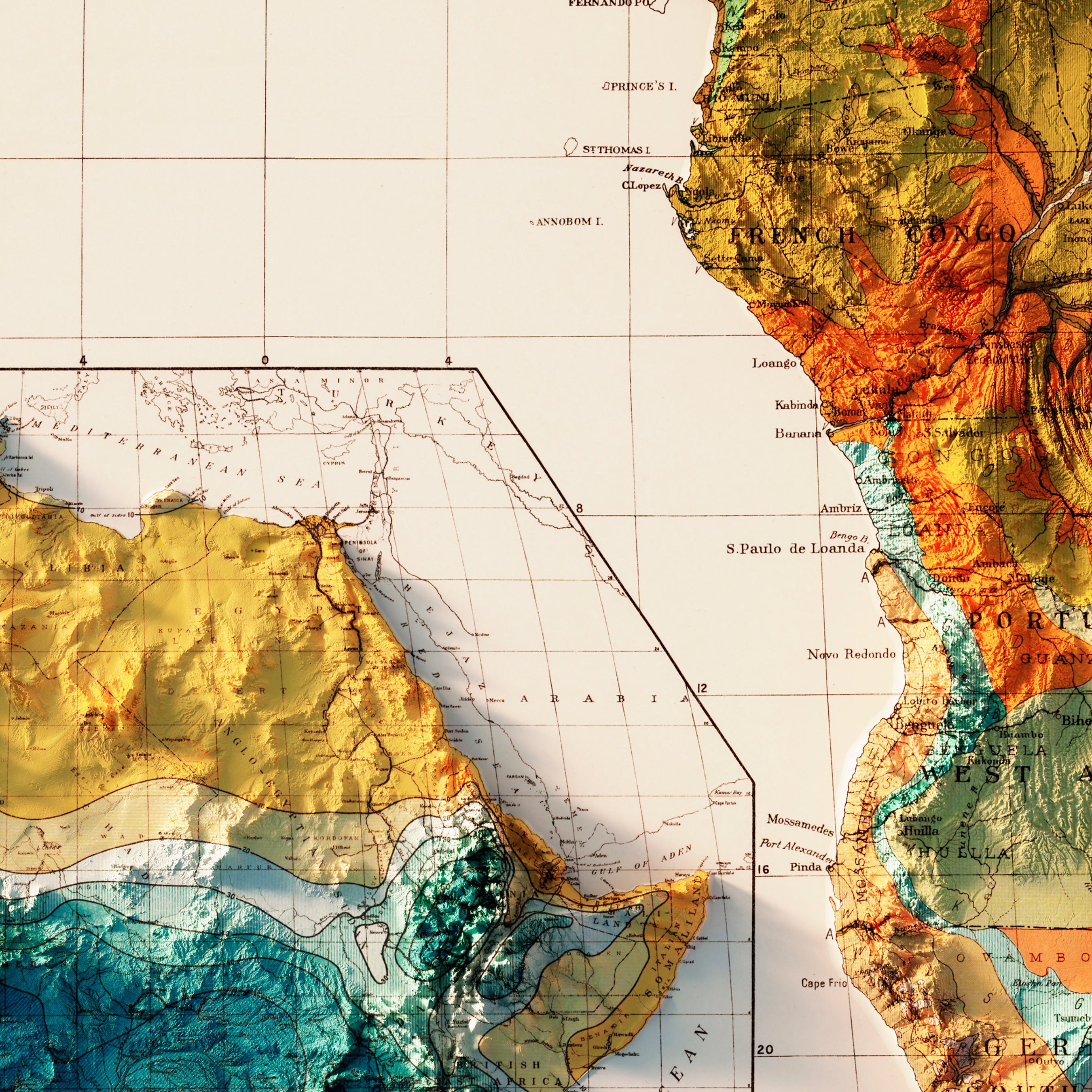
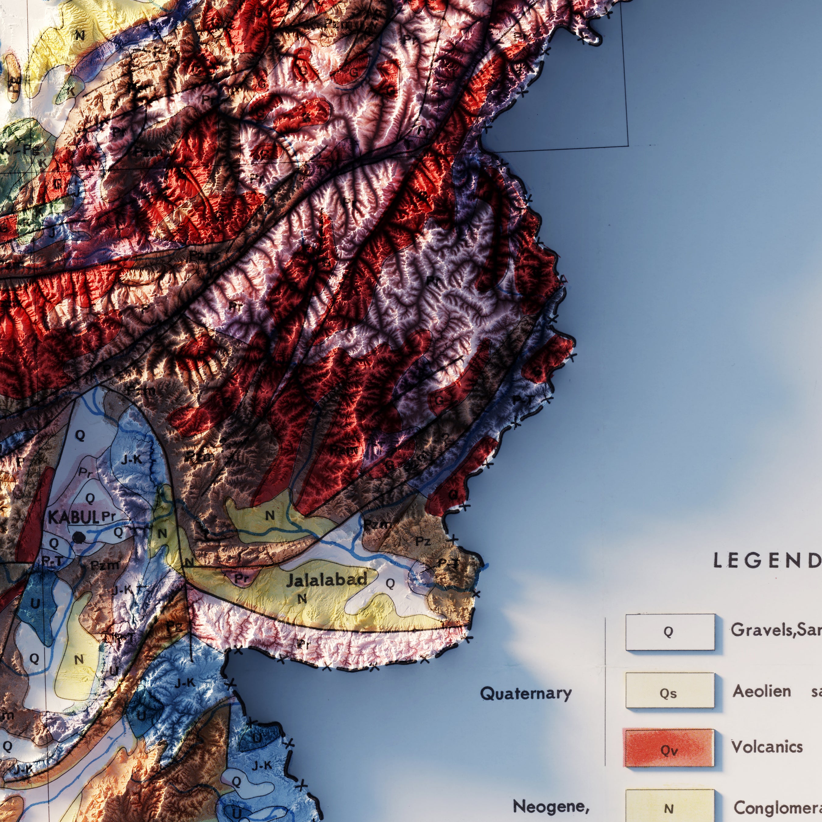
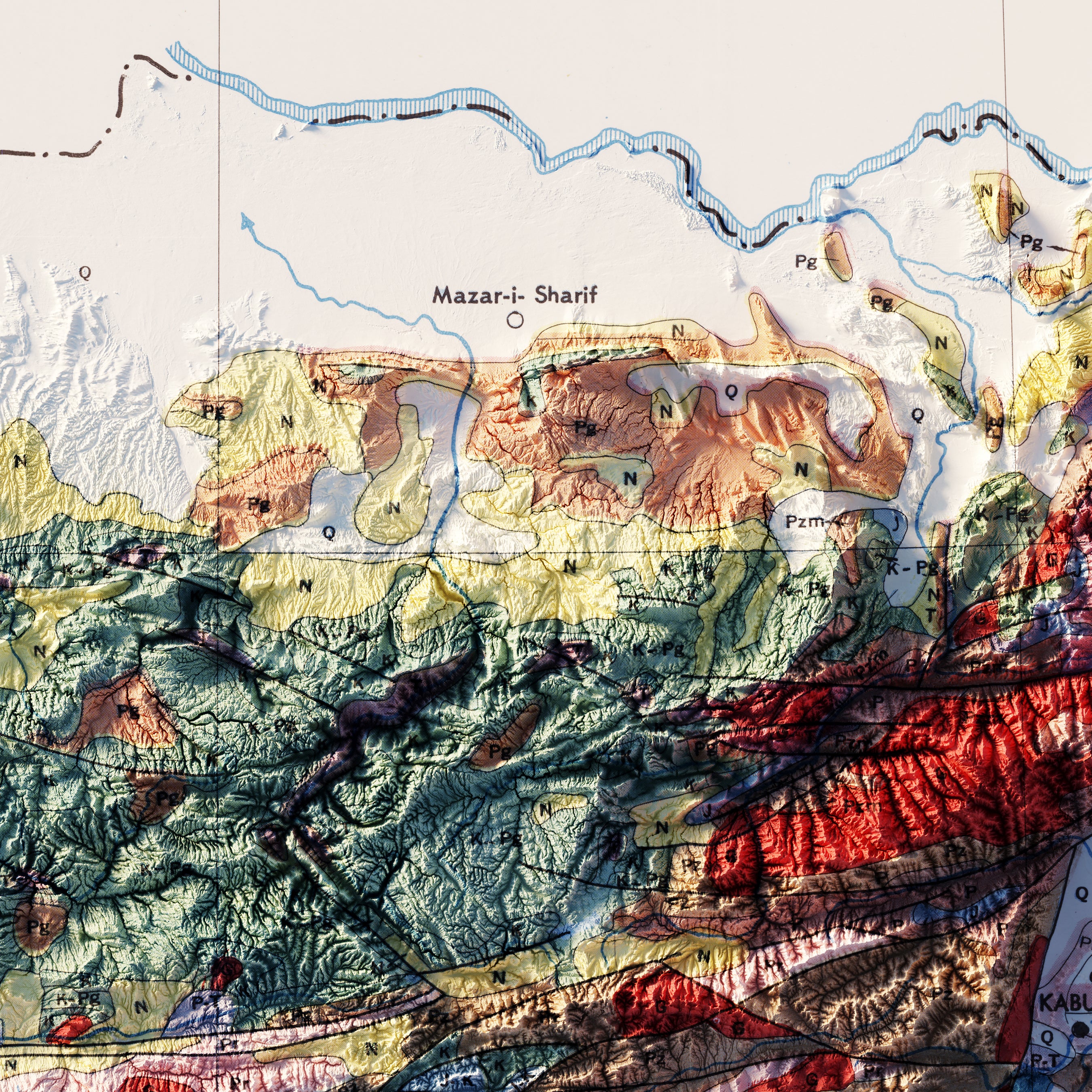
Our collection includes various types of maps that each narrate a unique story of their time. The Africa 1885 shaded relief map, for example, showcases Africa during the late 19th century, a period of significant change on the continent due to the infamous 'Scramble for Africa' among European powers. The map gives a visual representation of the continent's diverse topography, highlighting the geographical challenges colonizers would have faced during this era of exploration and exploitation.
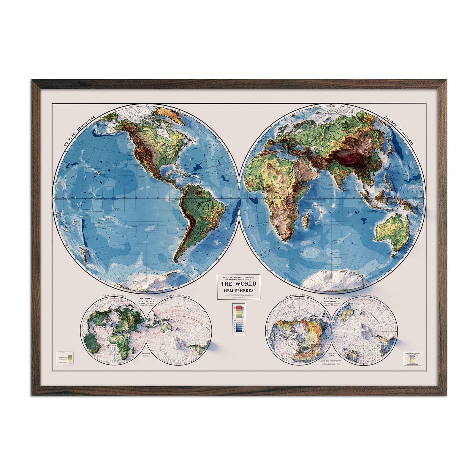
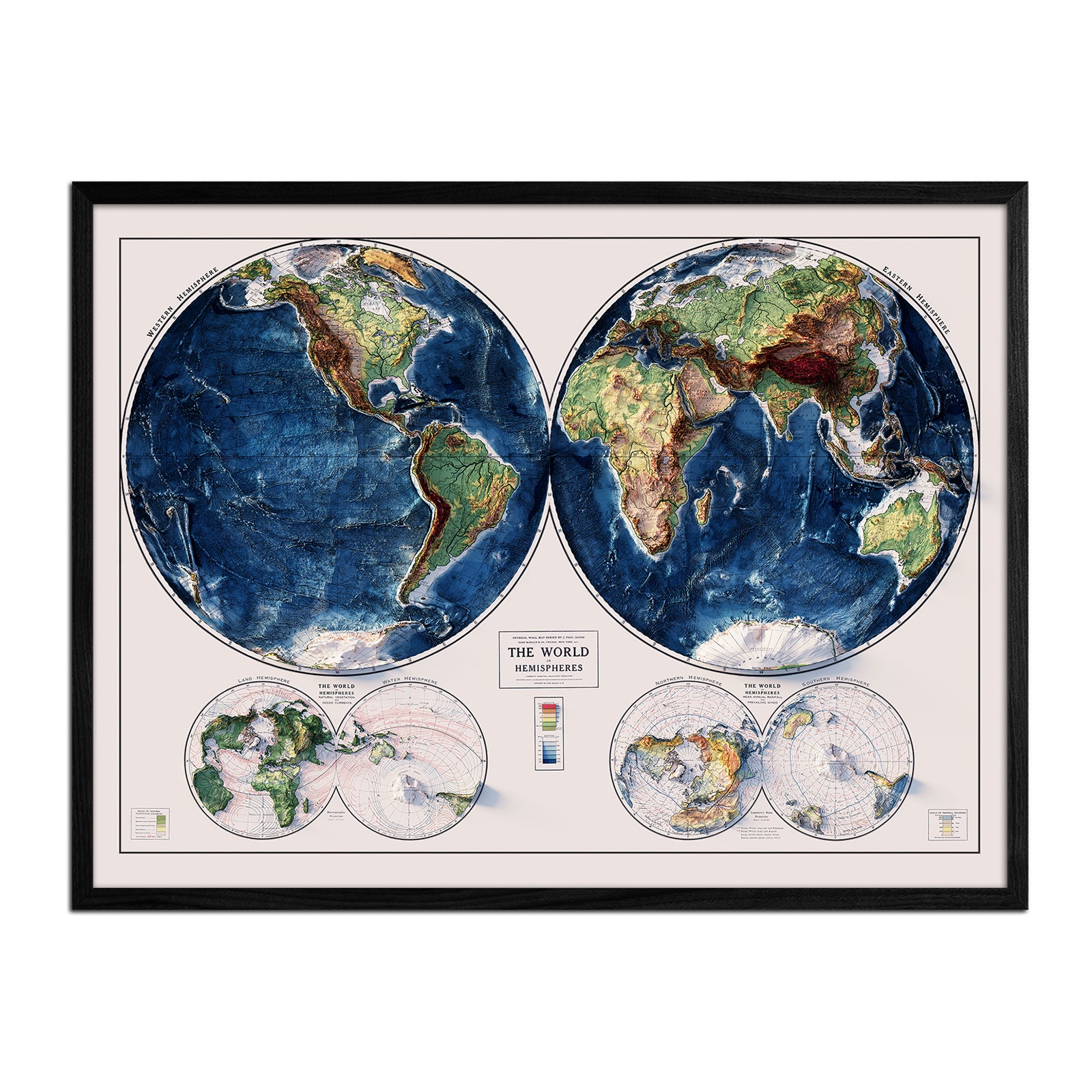
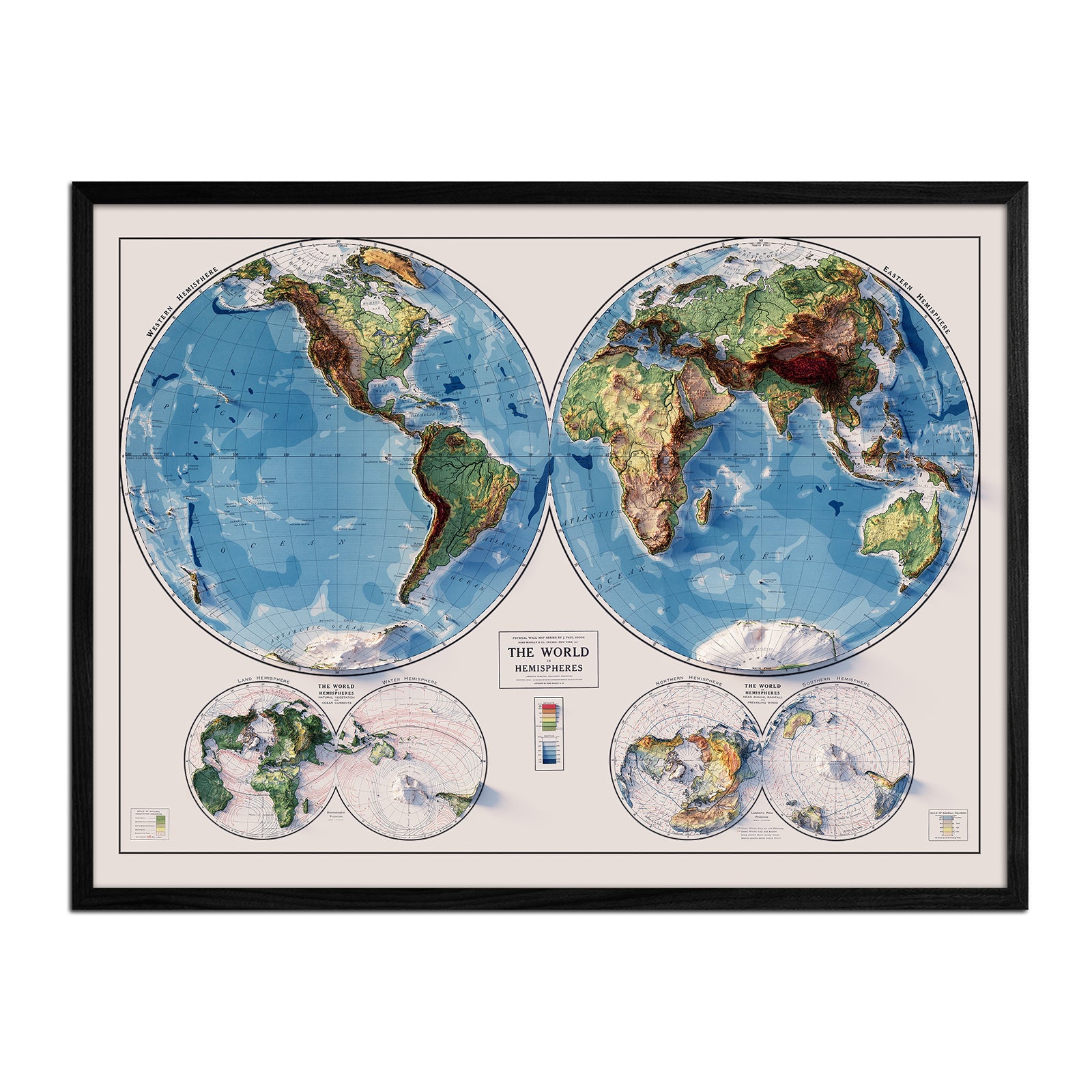
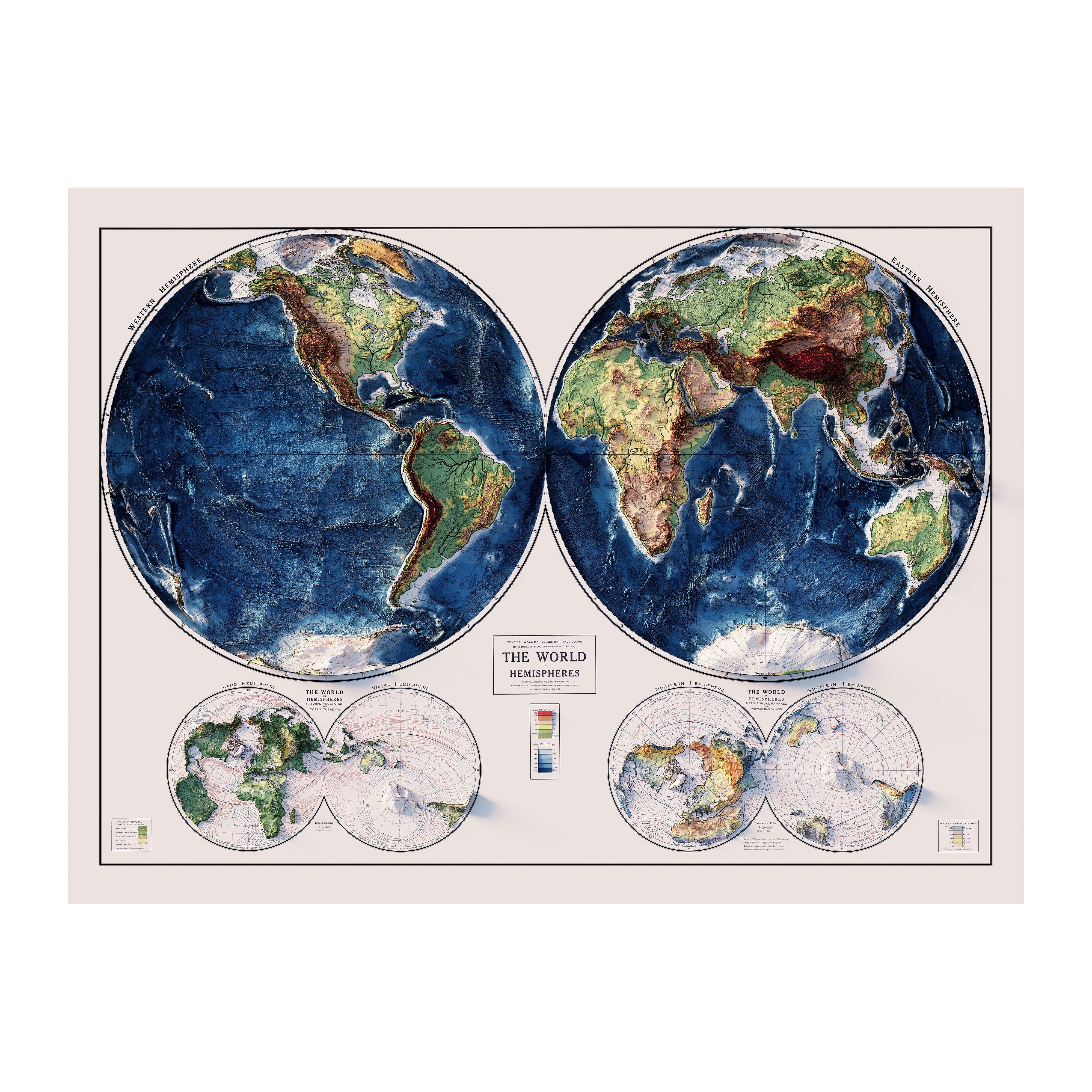
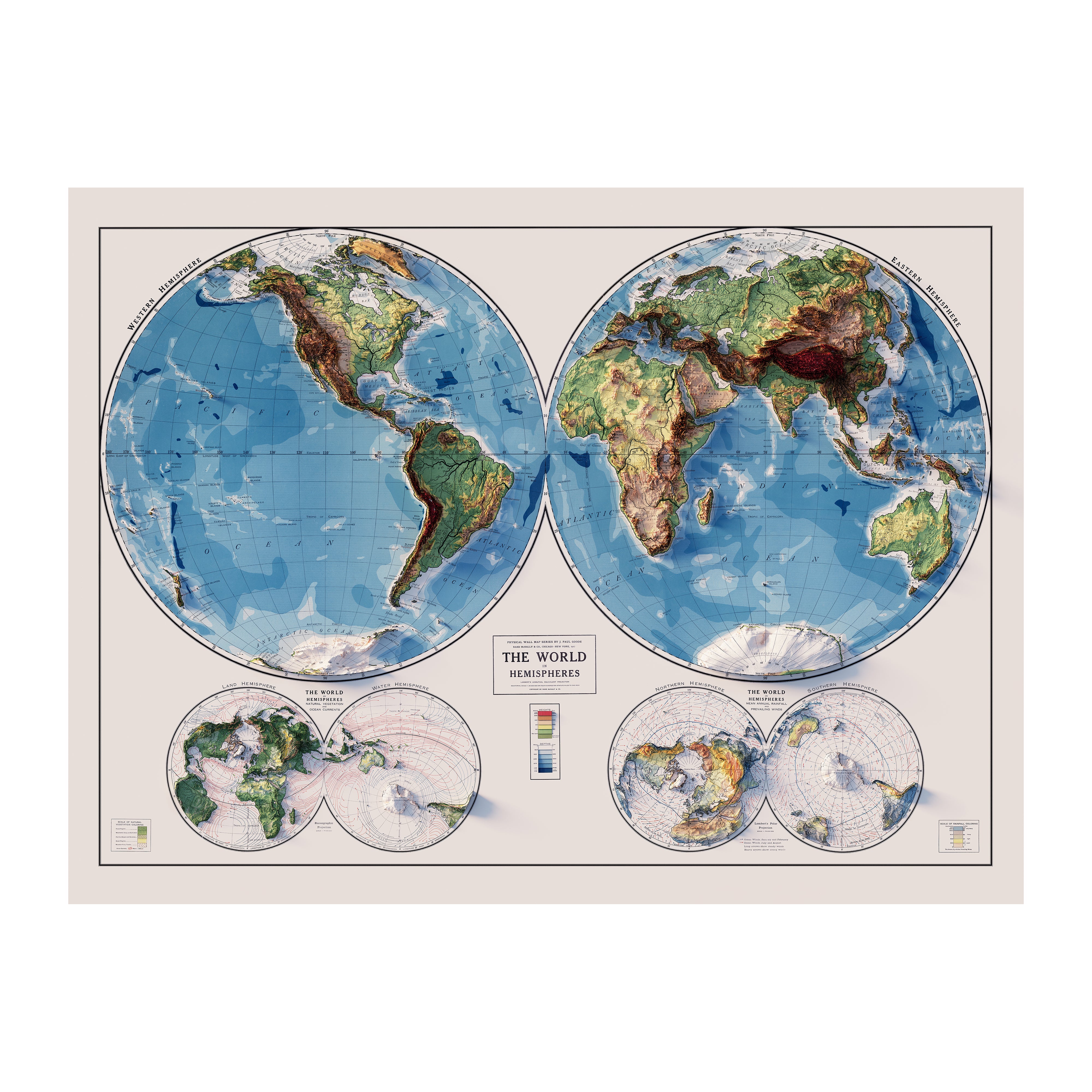
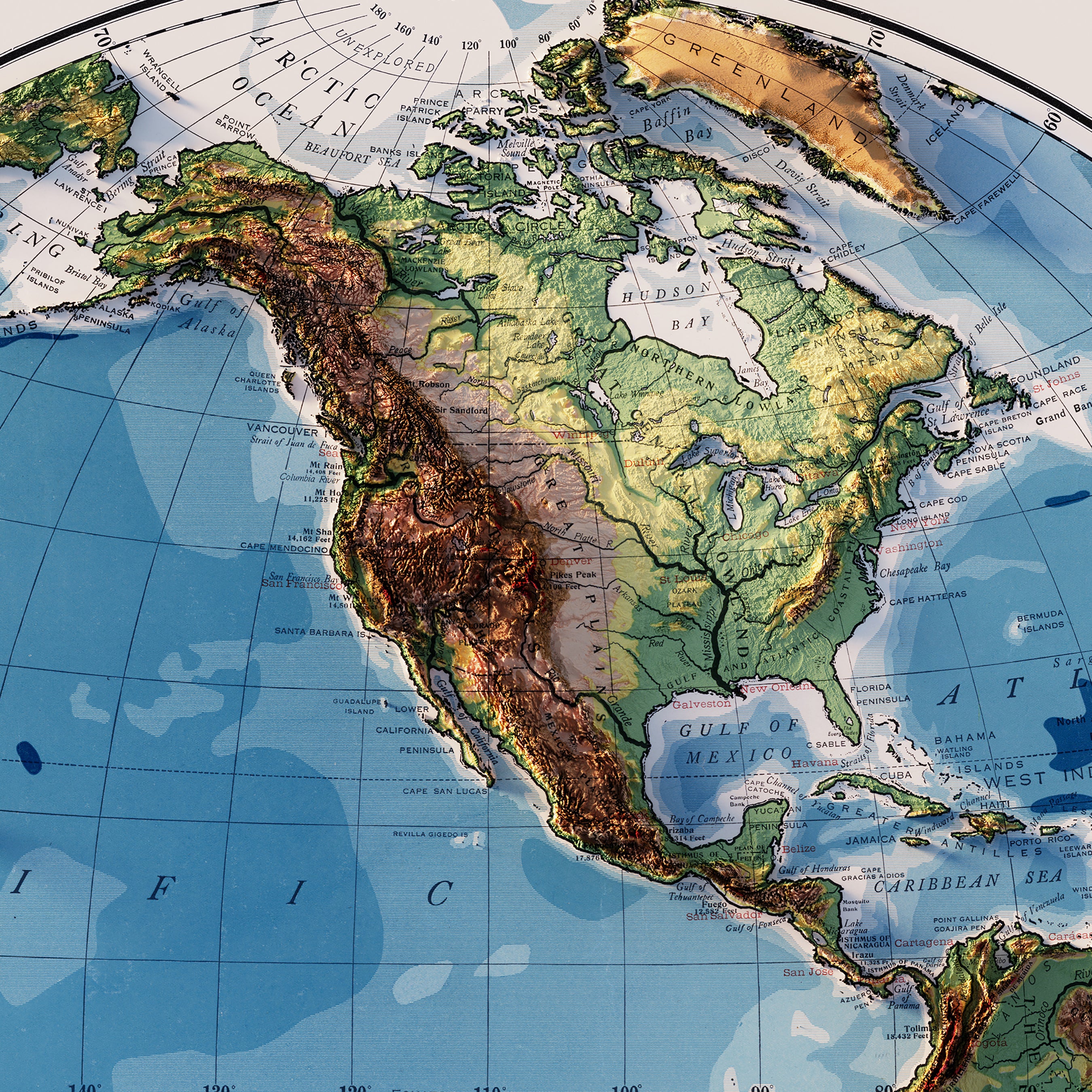
The World Map 1917 shaded relief map, on the other hand, comes from a period deeply scarred by the Great War. This map serves as a stark reminder of a time when nations were redrawn and alliances shifted like sand beneath the feet, directly influencing the geopolitical landscape we see today.
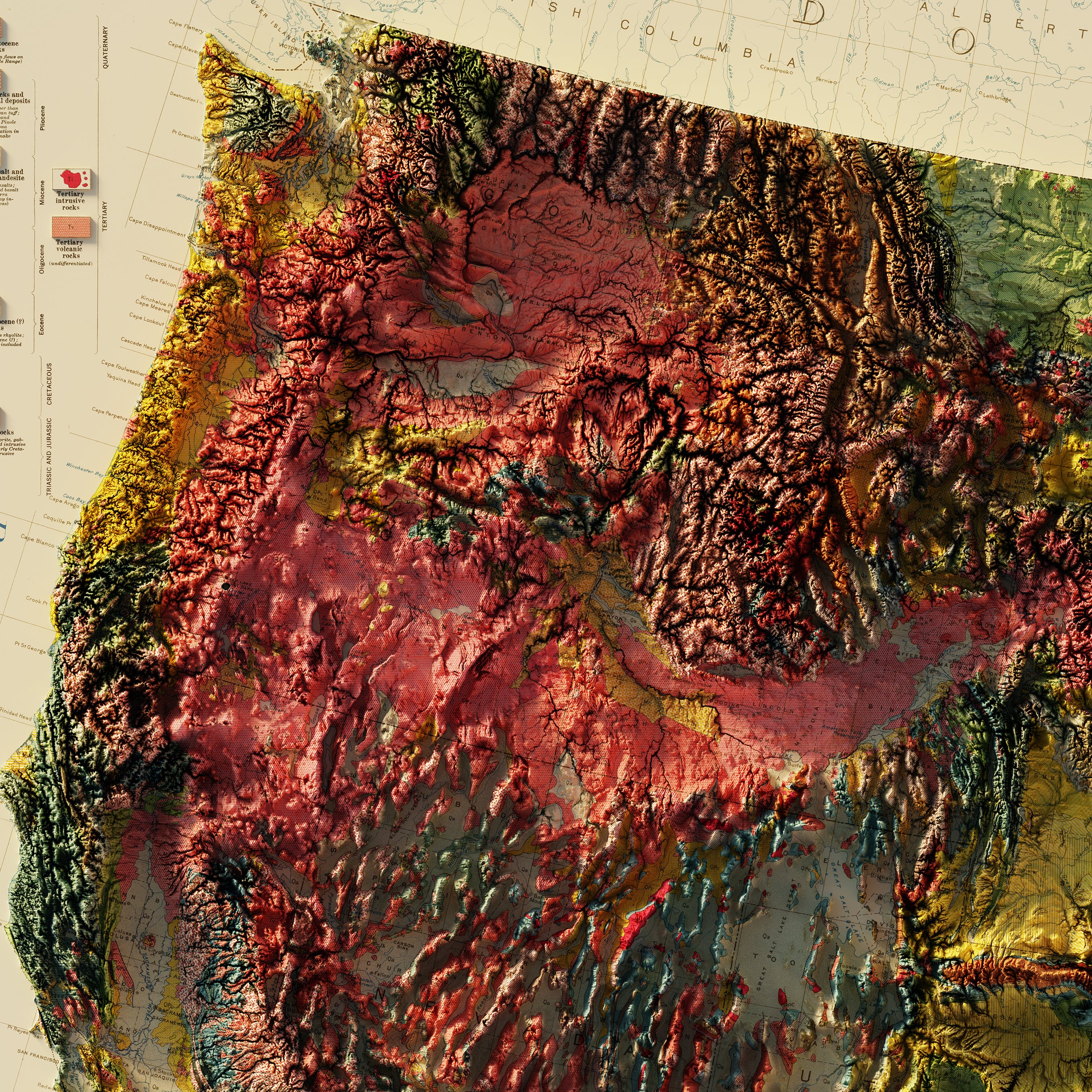
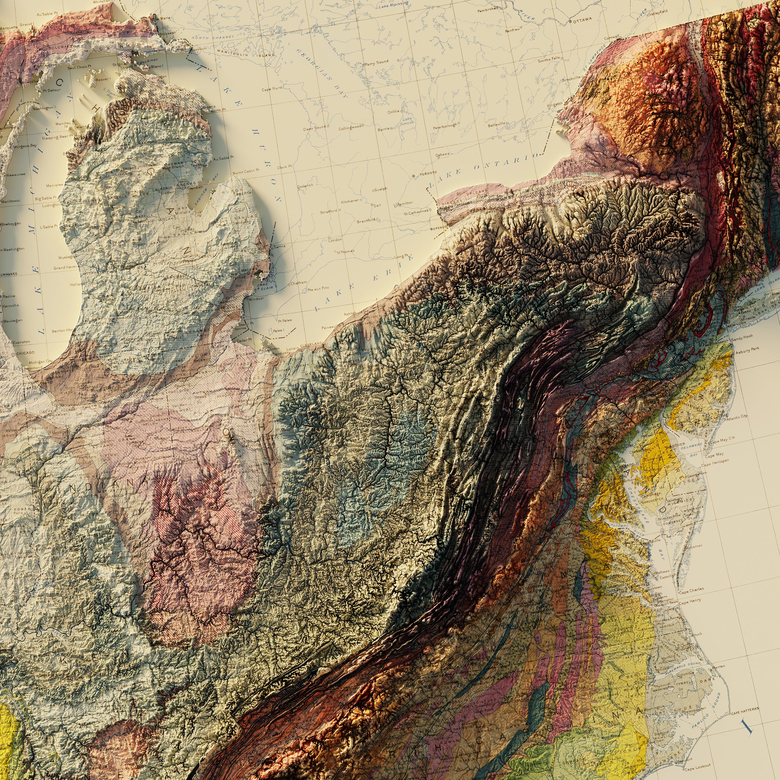
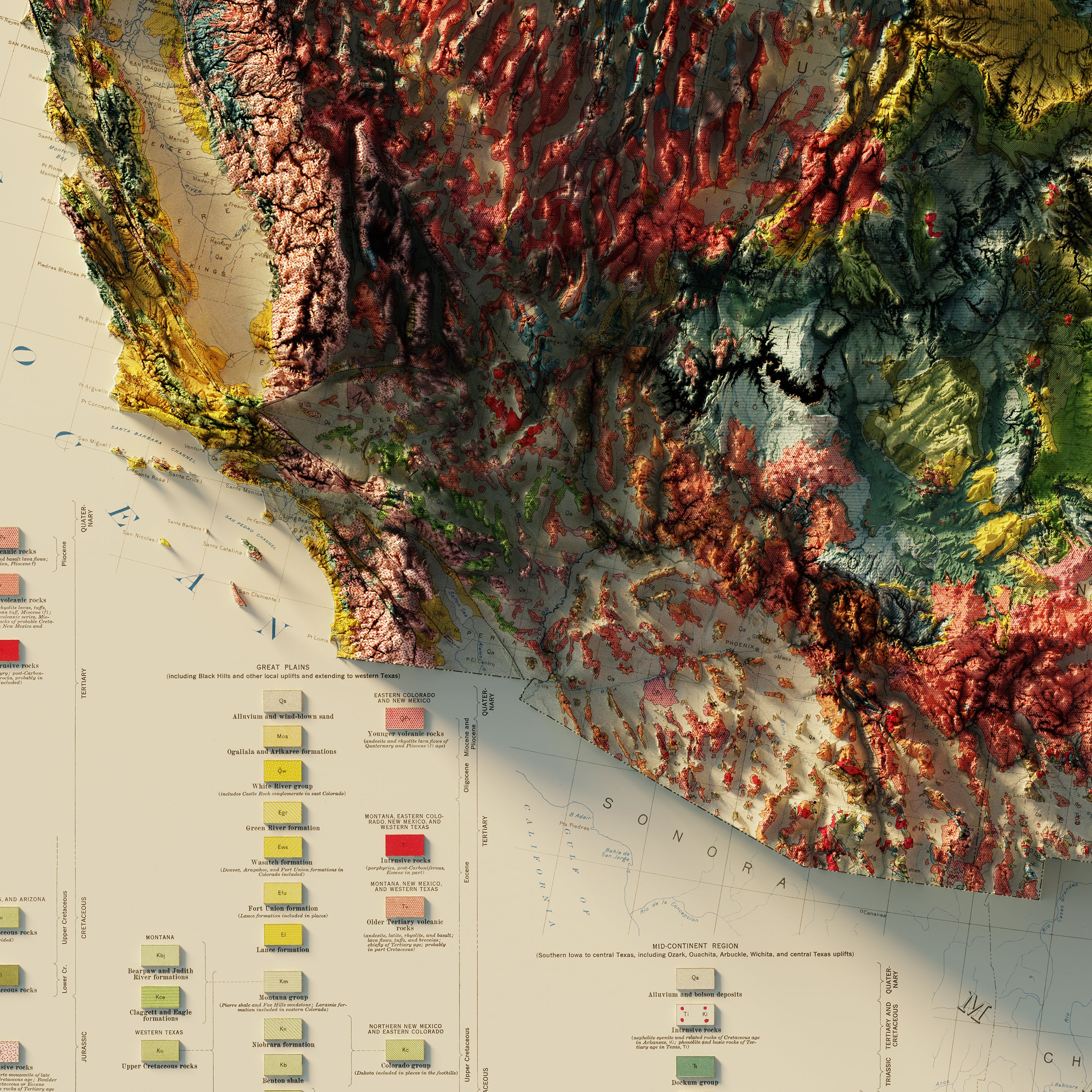
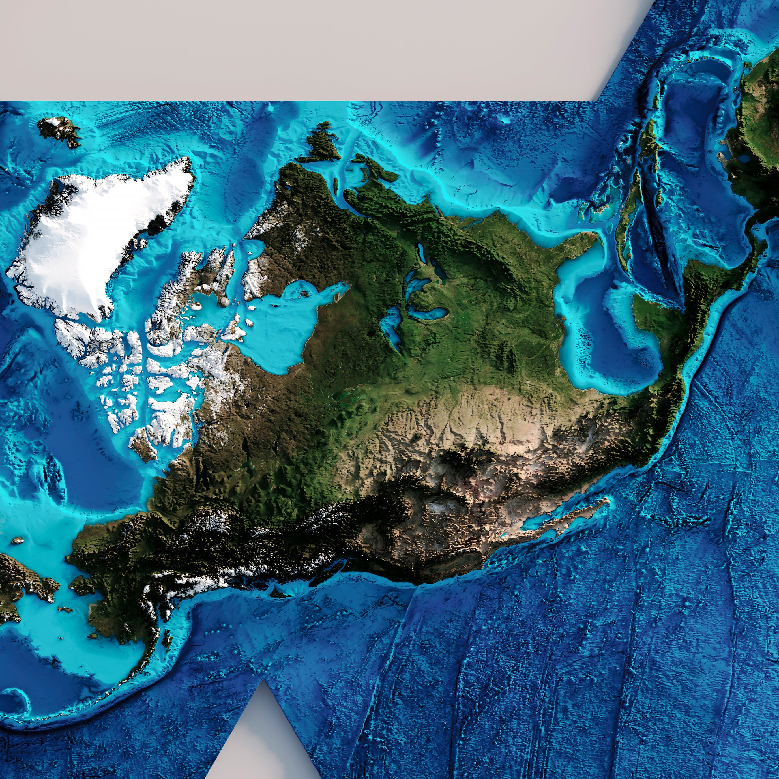
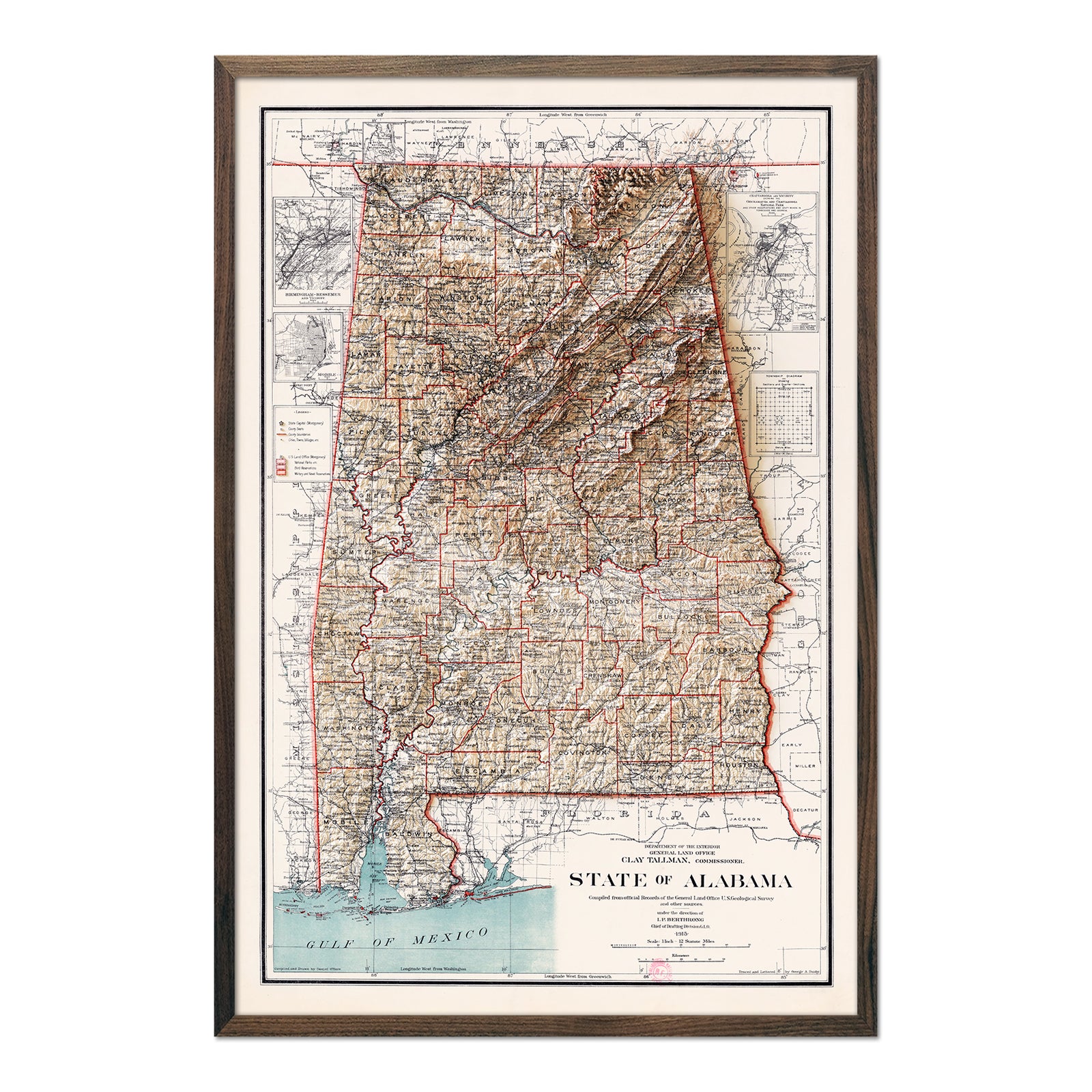
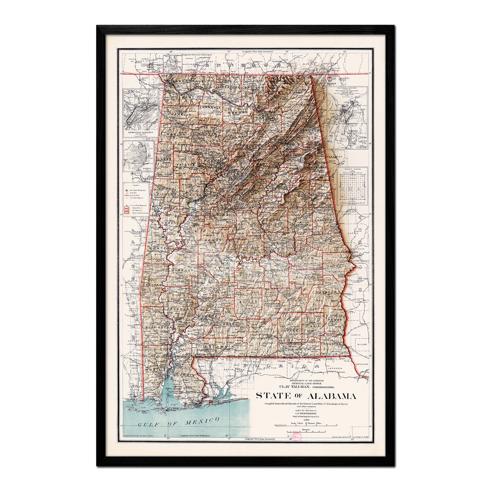
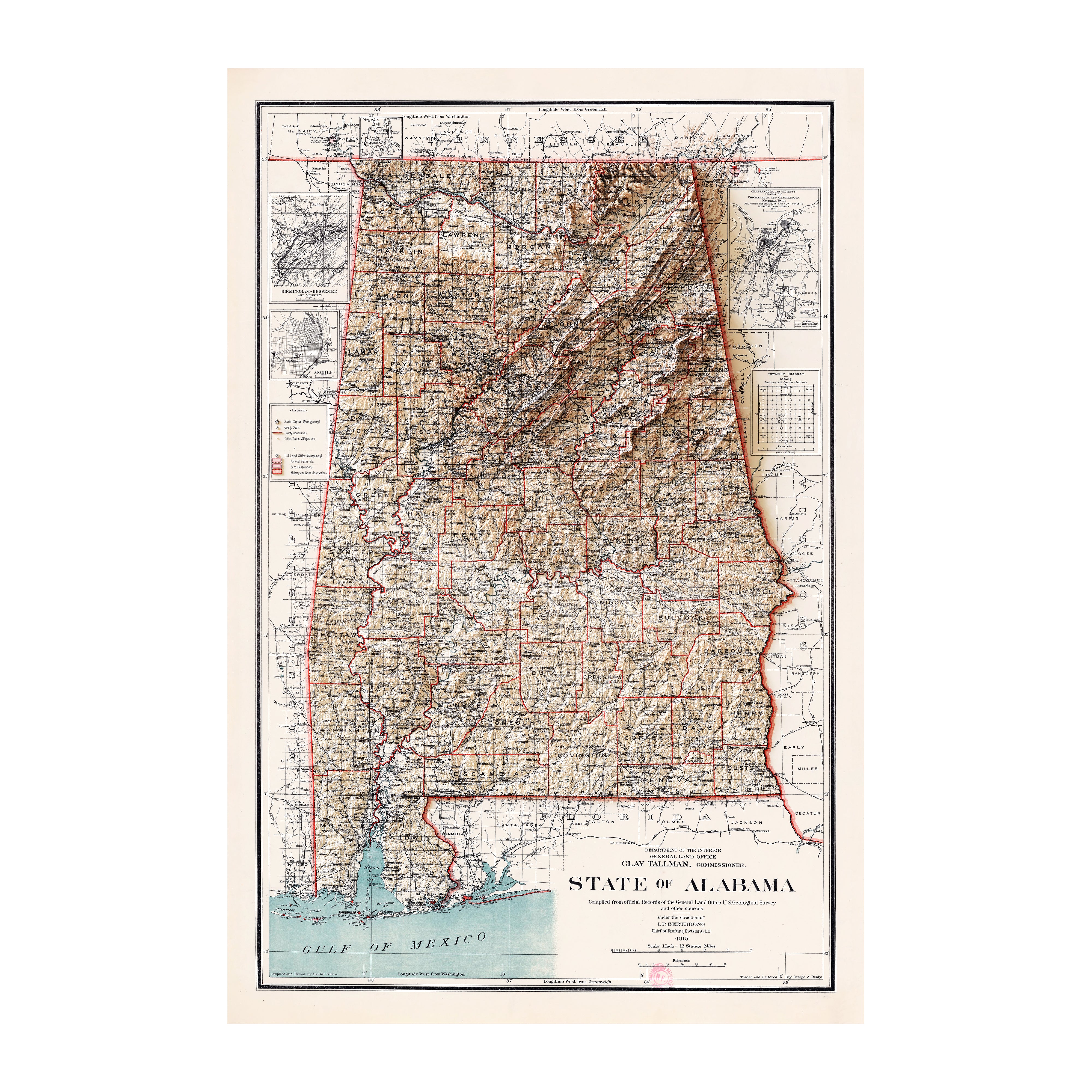
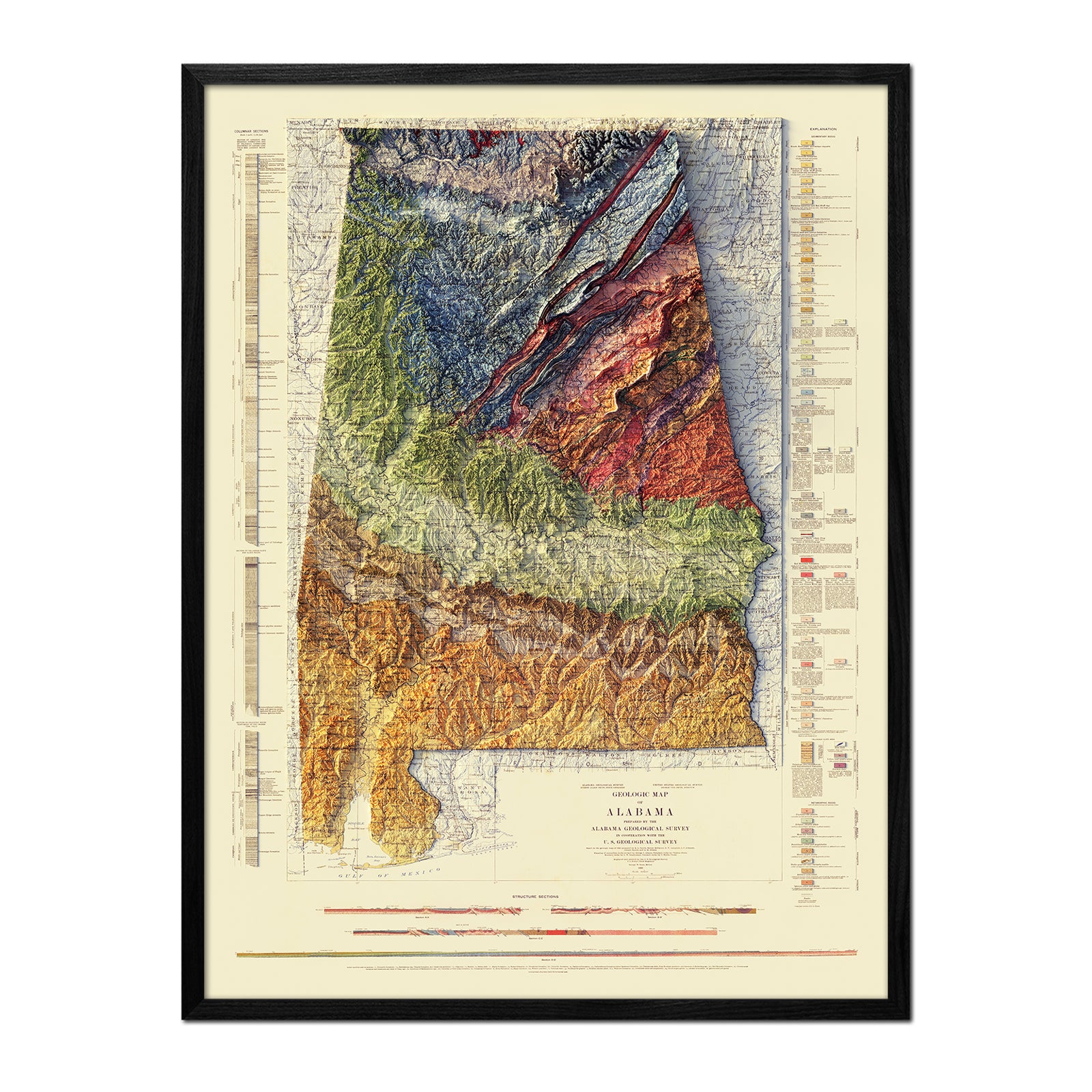
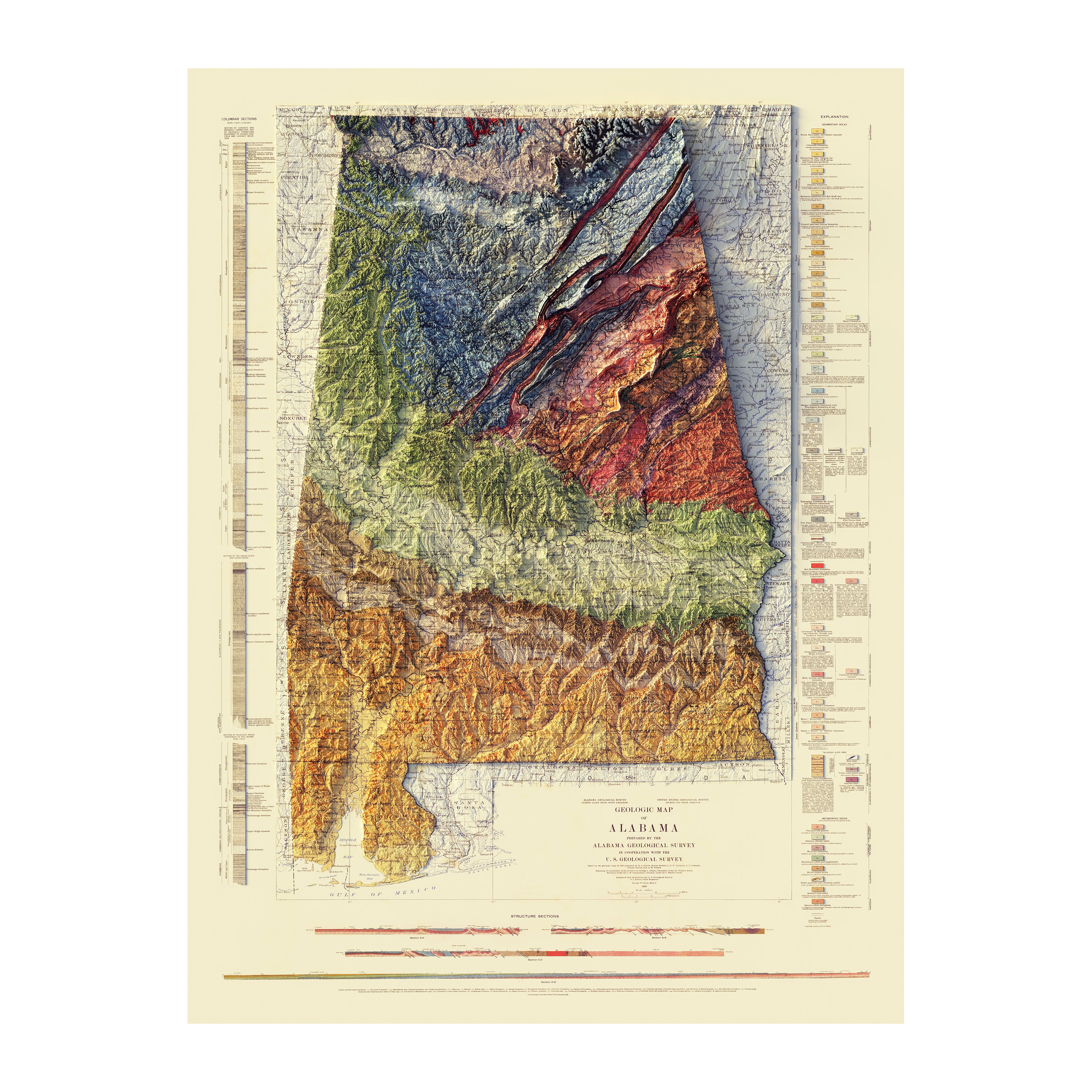
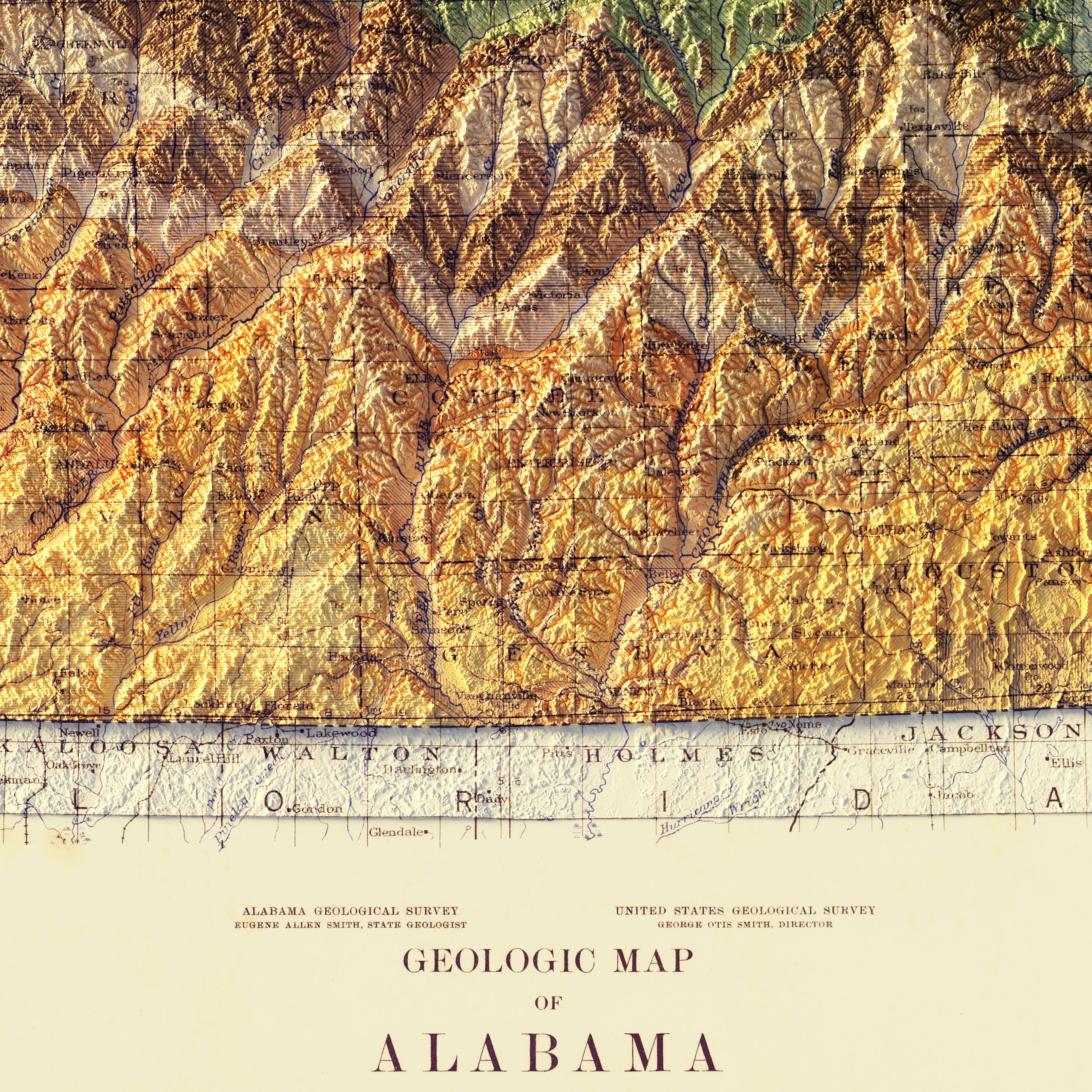
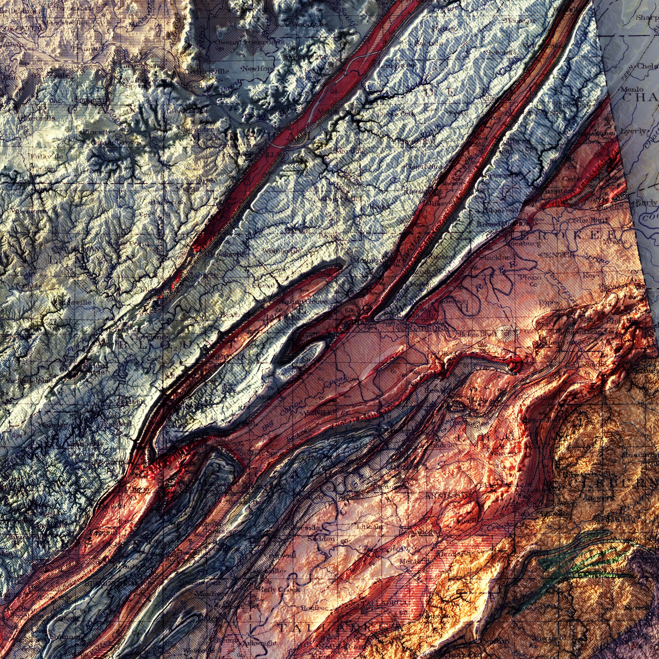
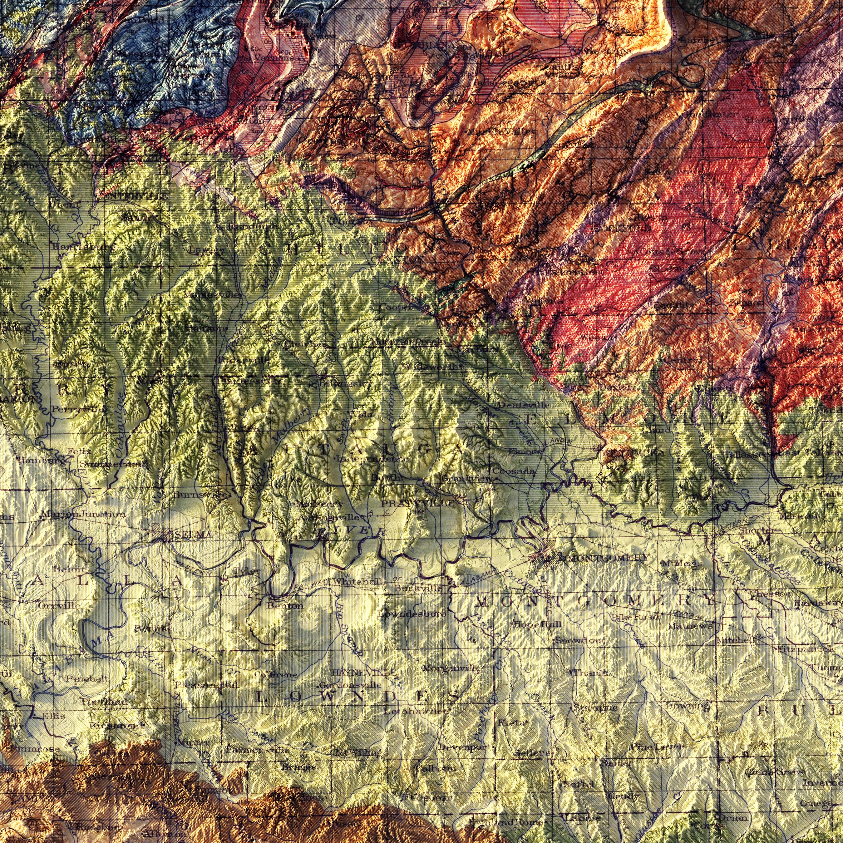
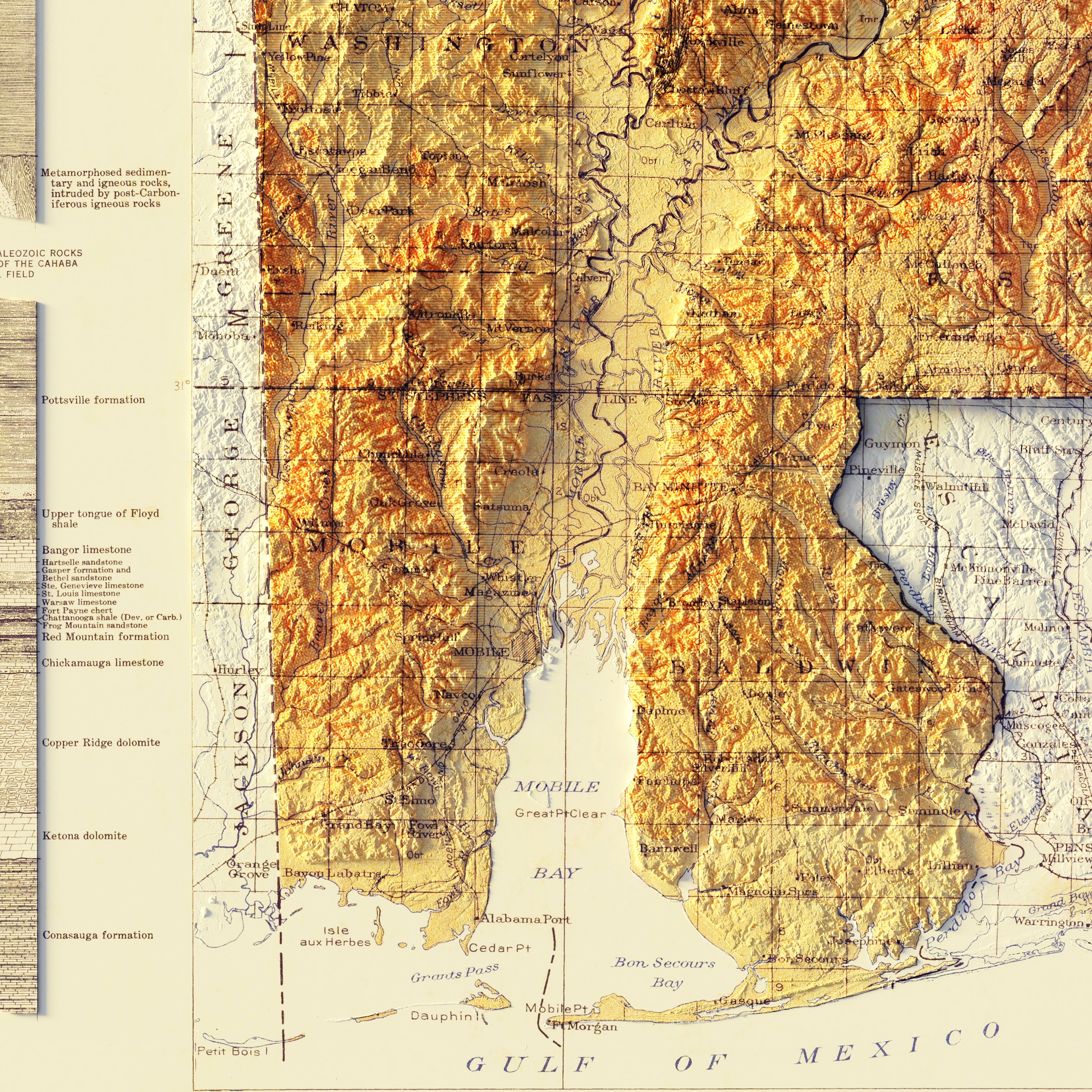
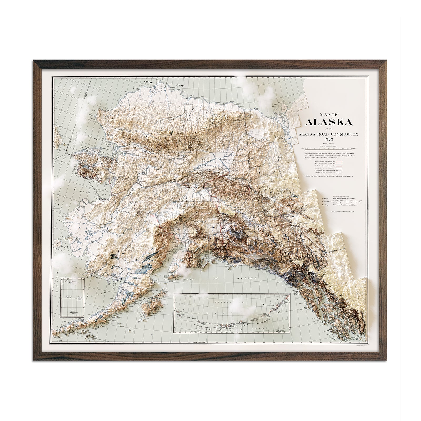
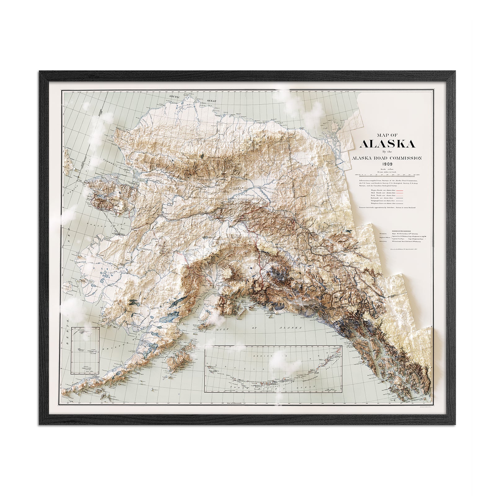
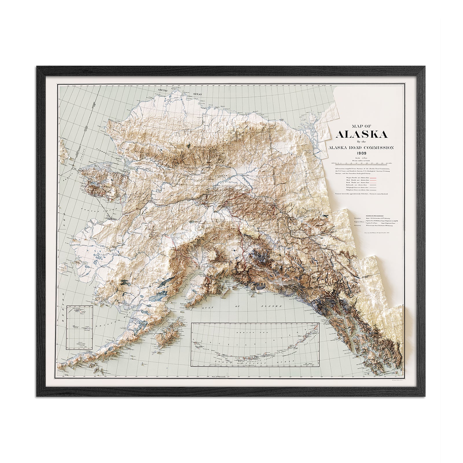
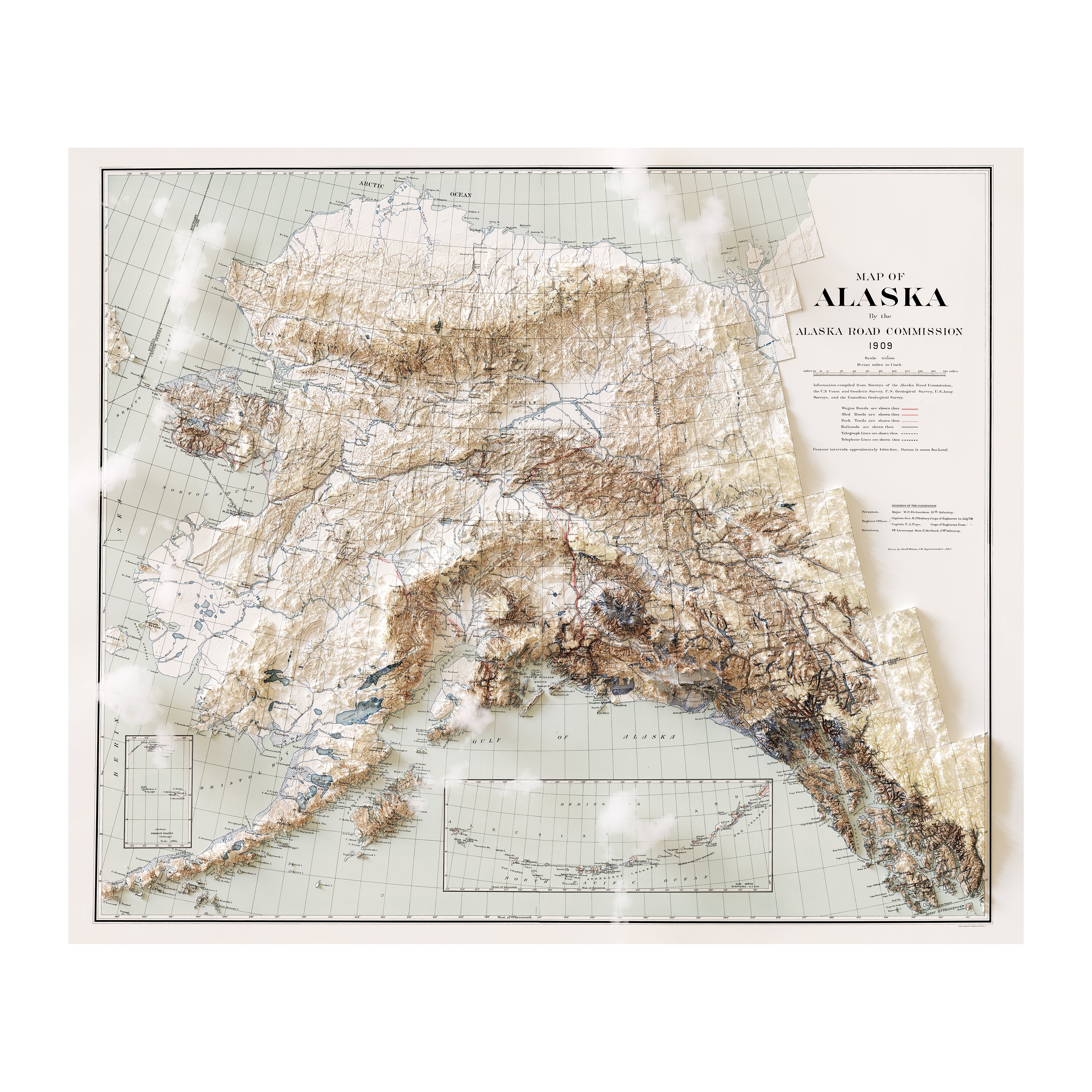
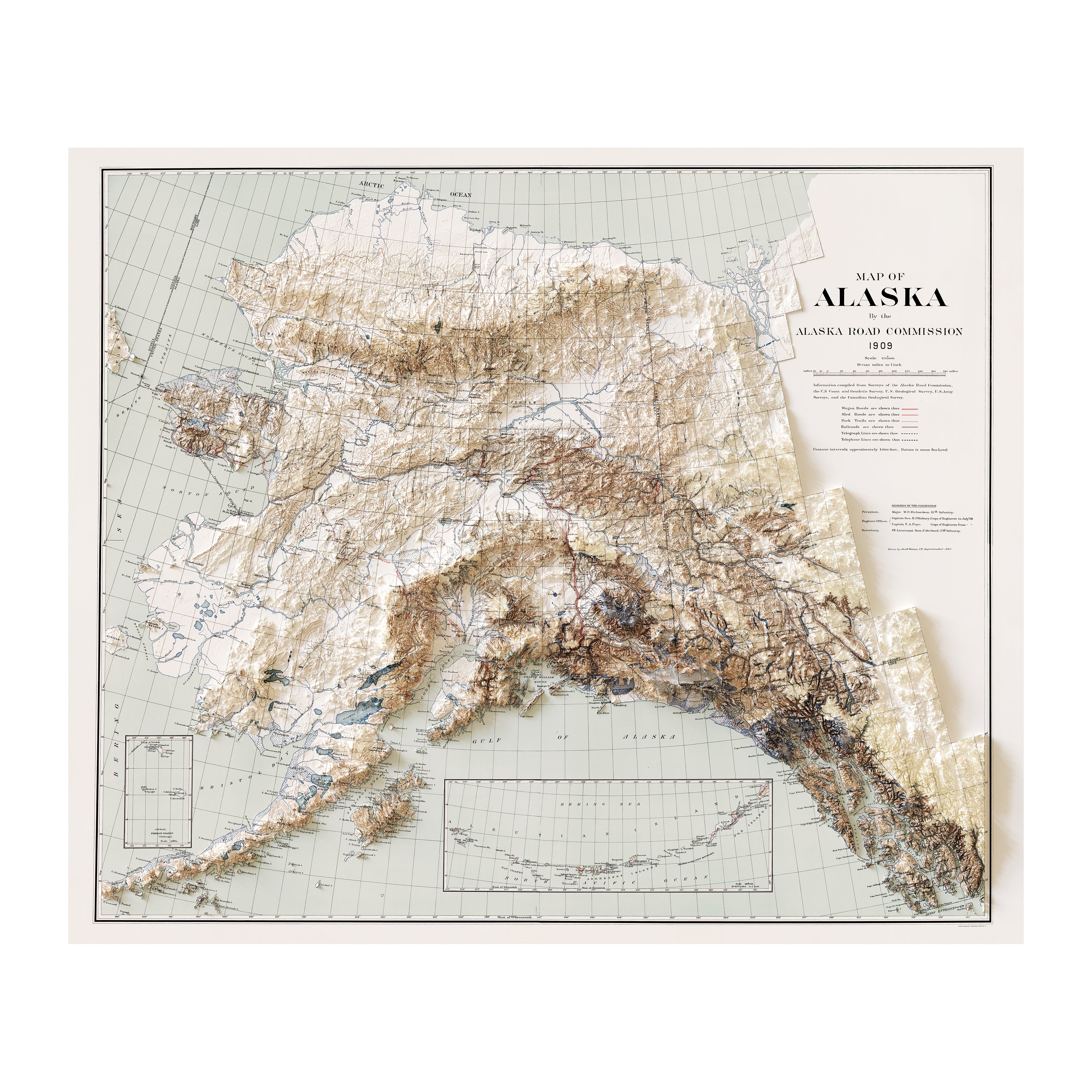
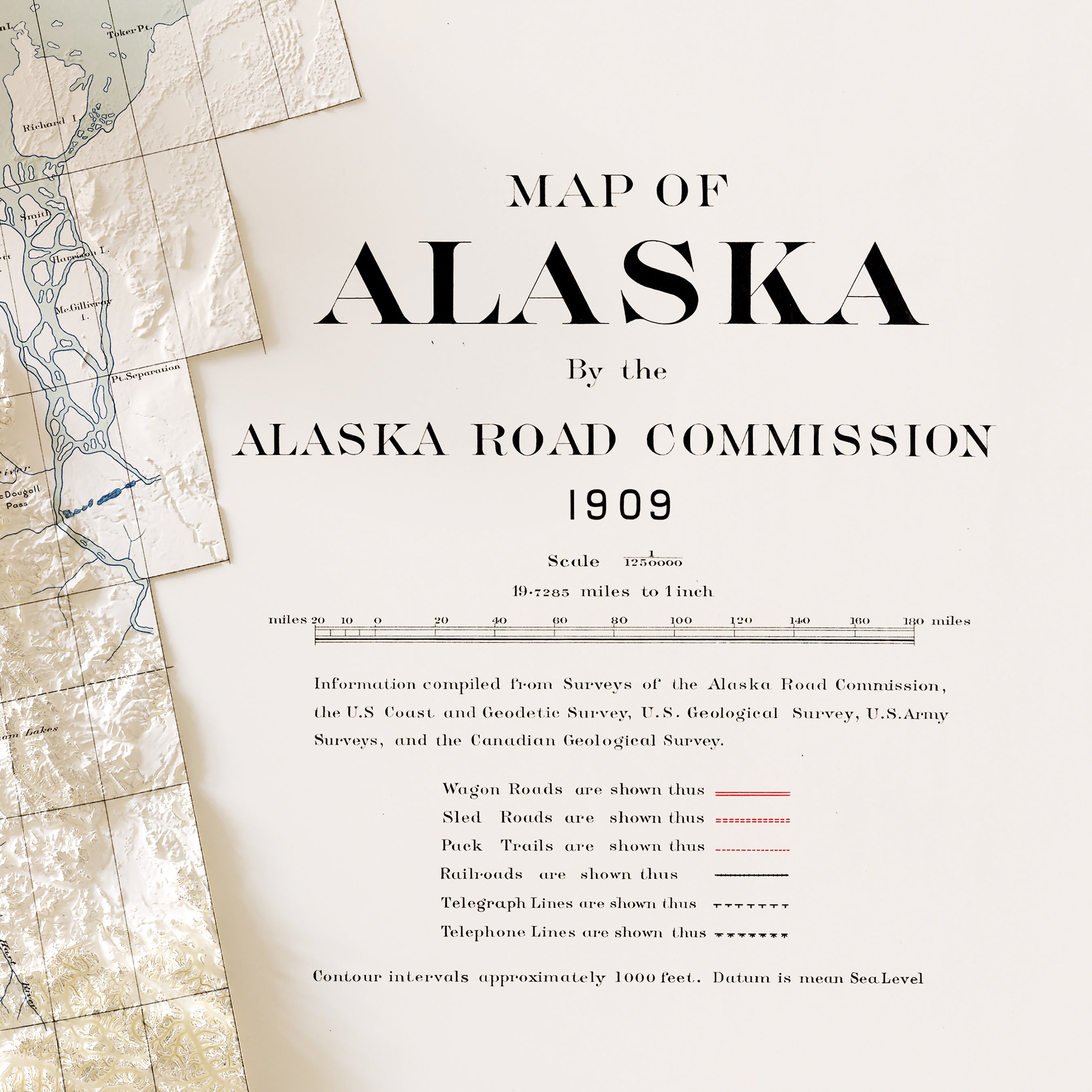
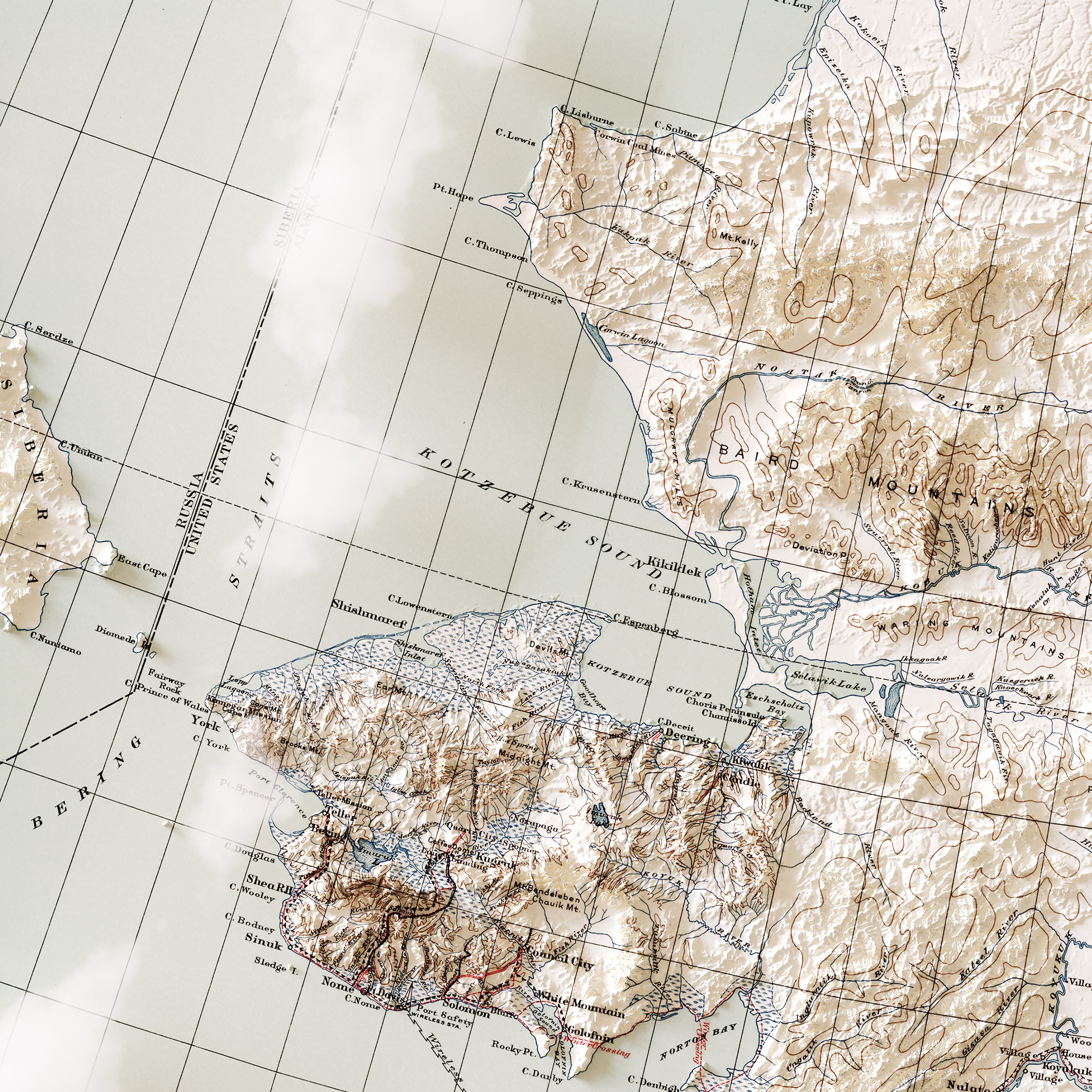
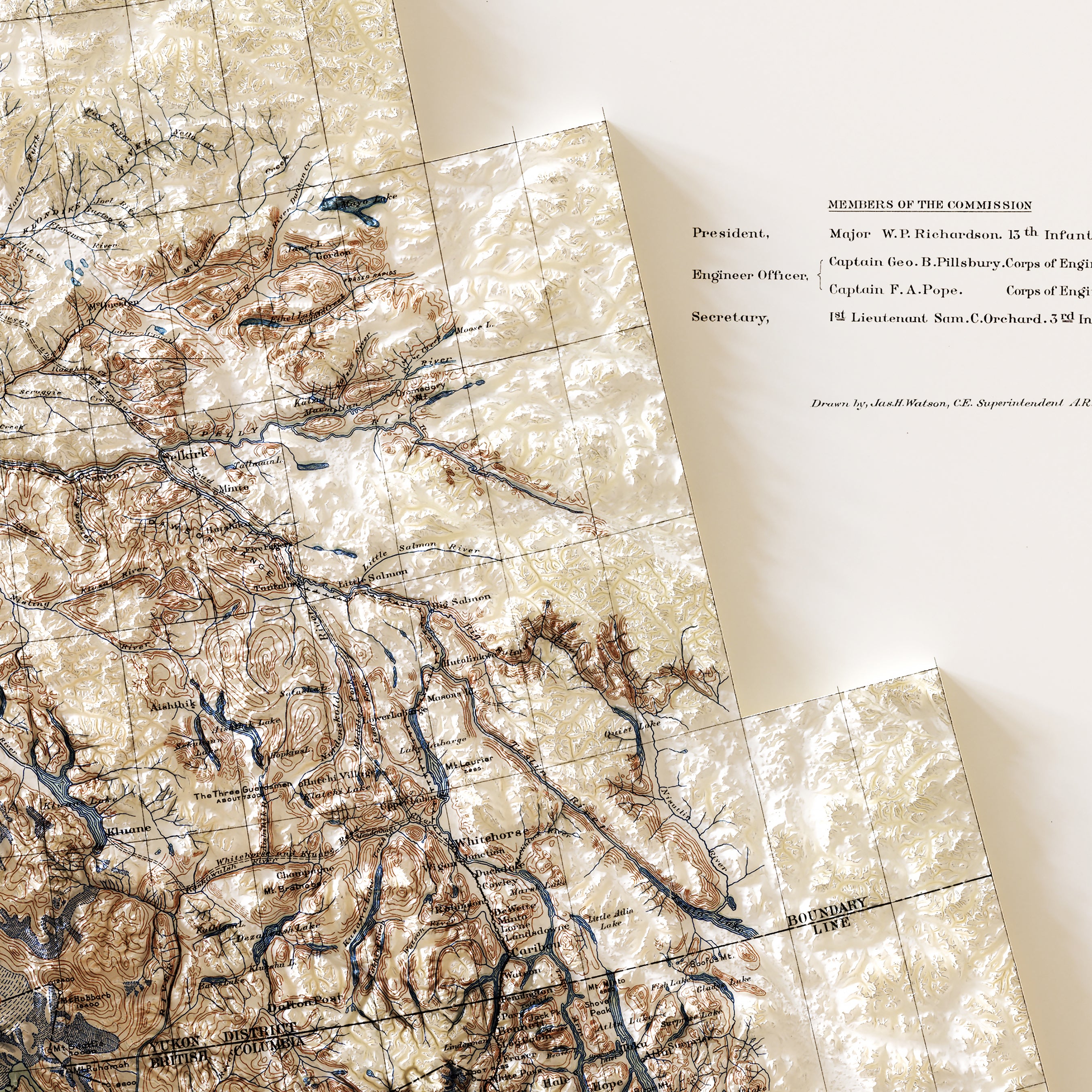
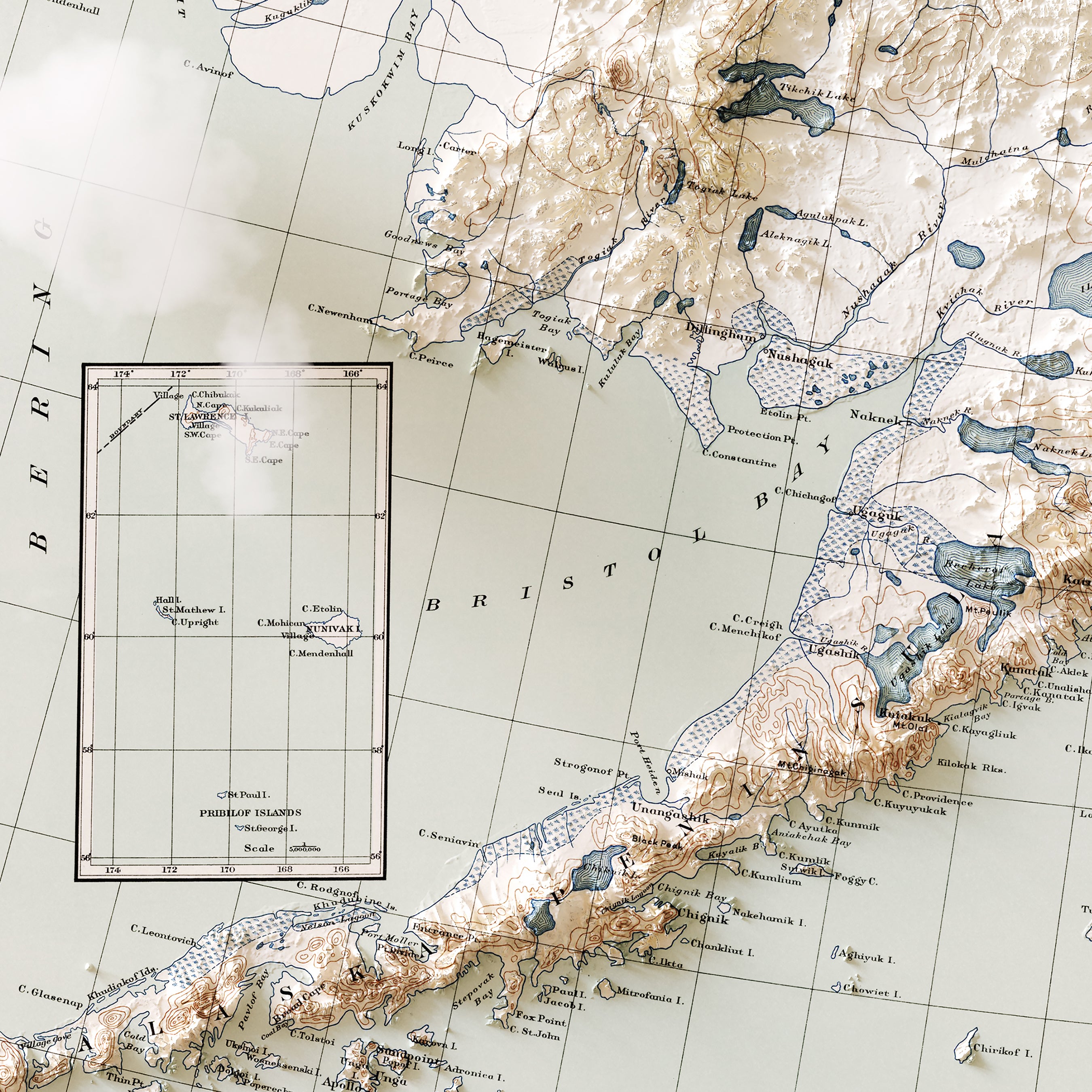
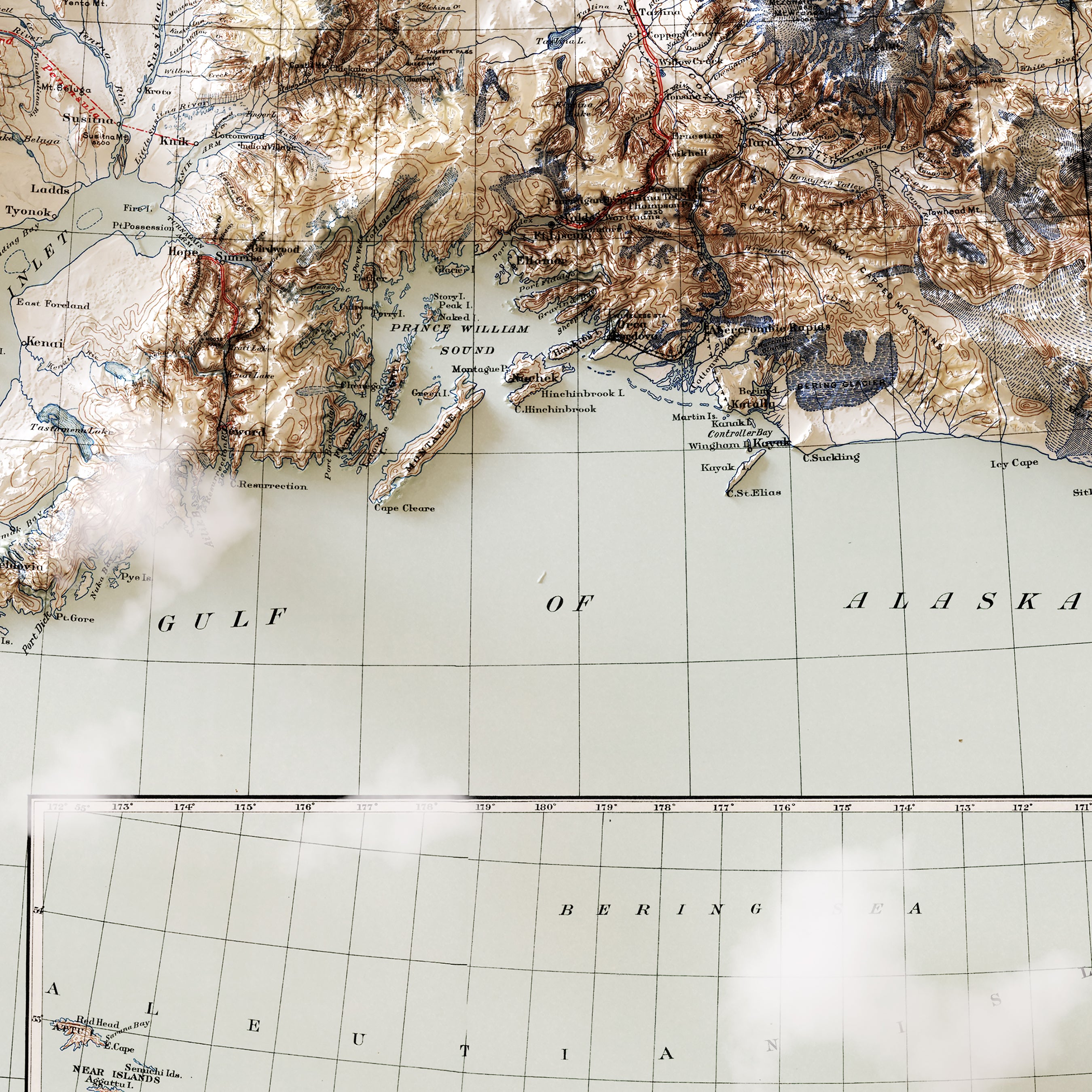
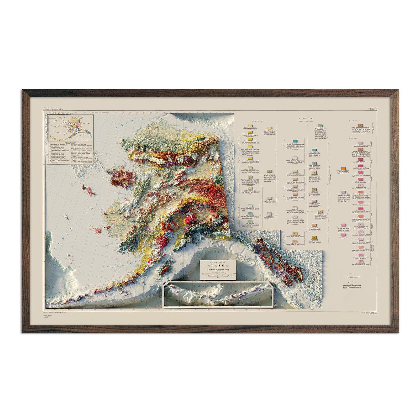
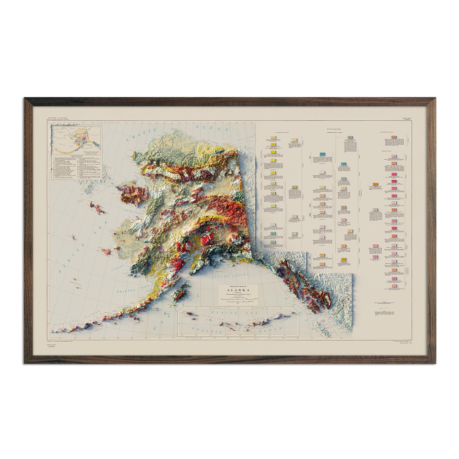
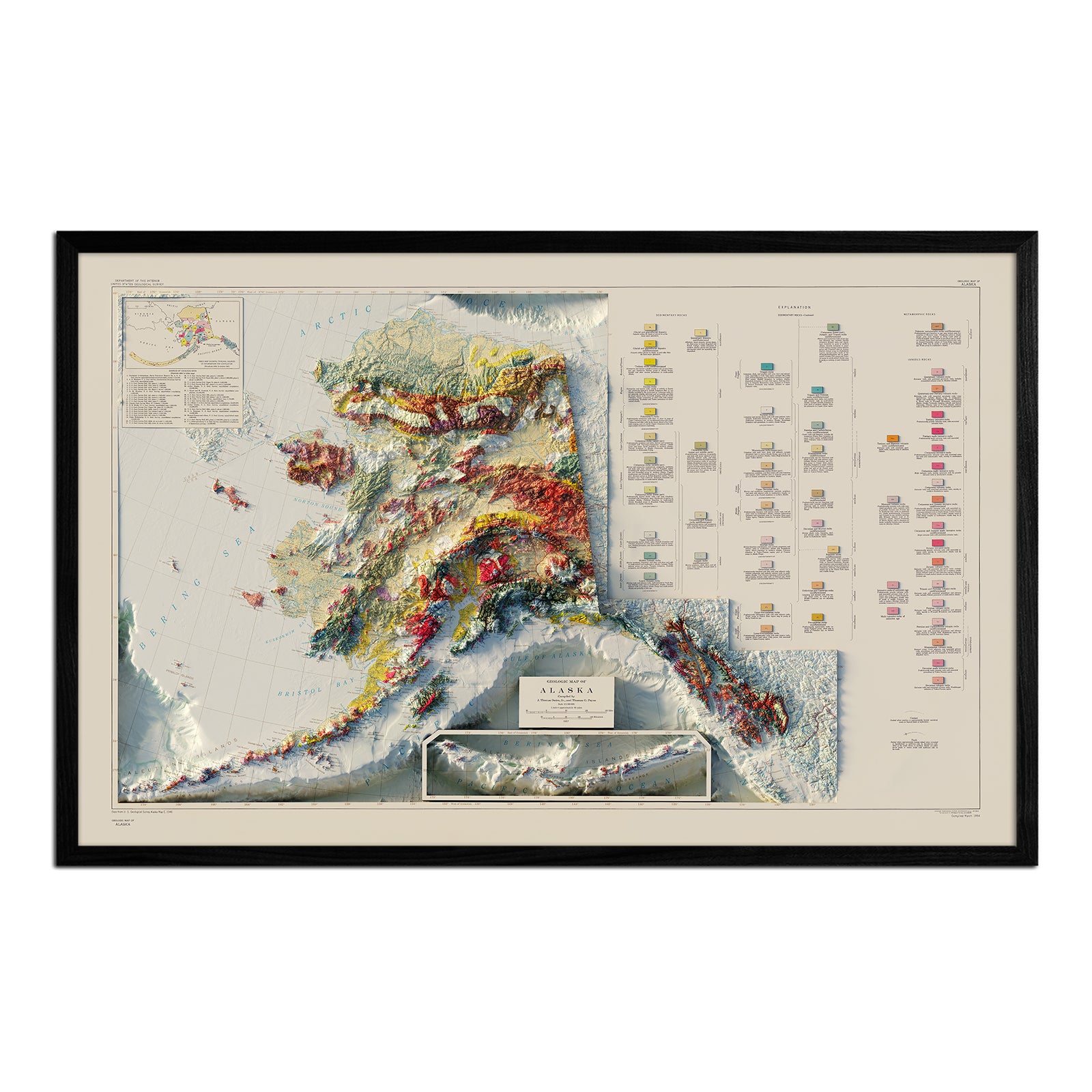
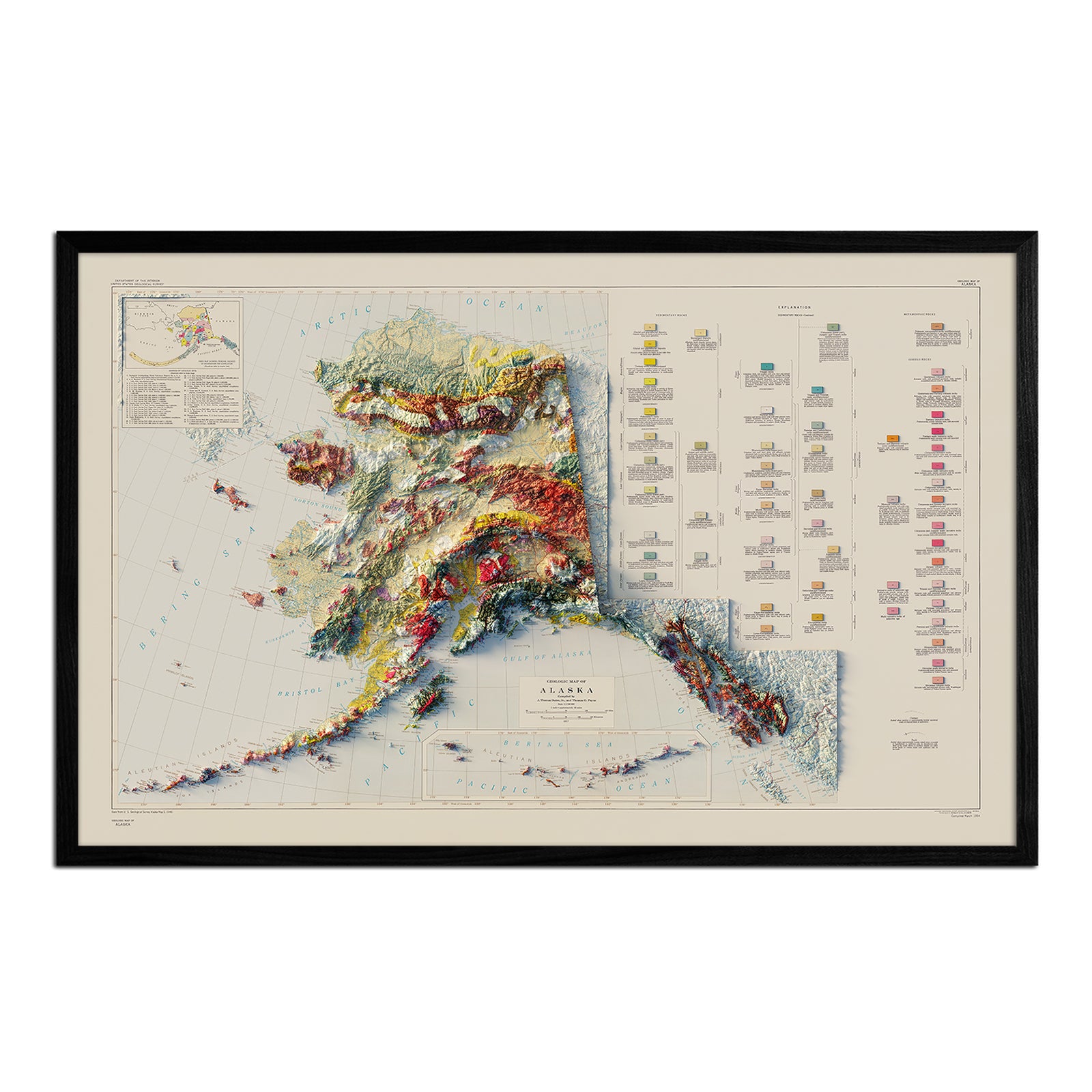
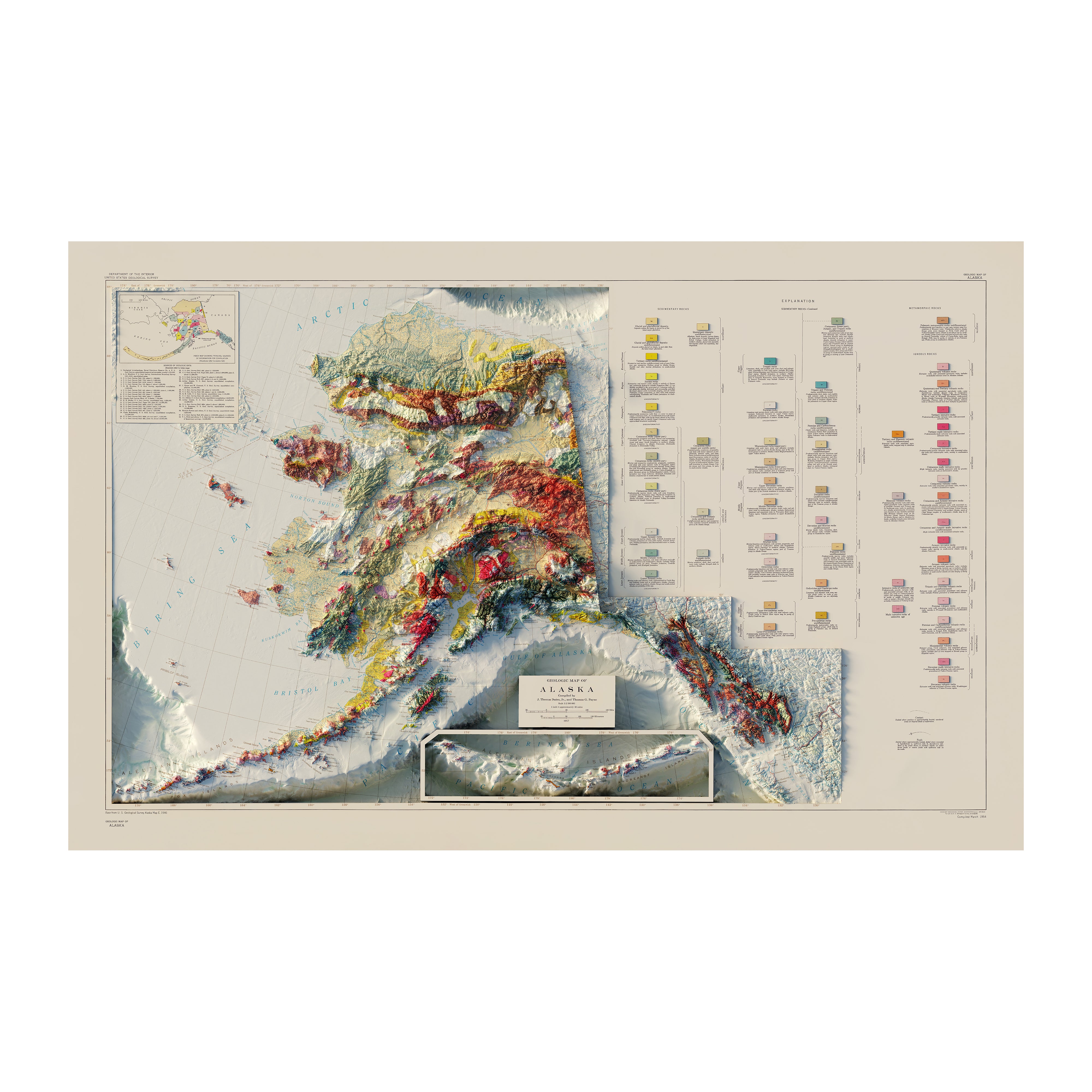
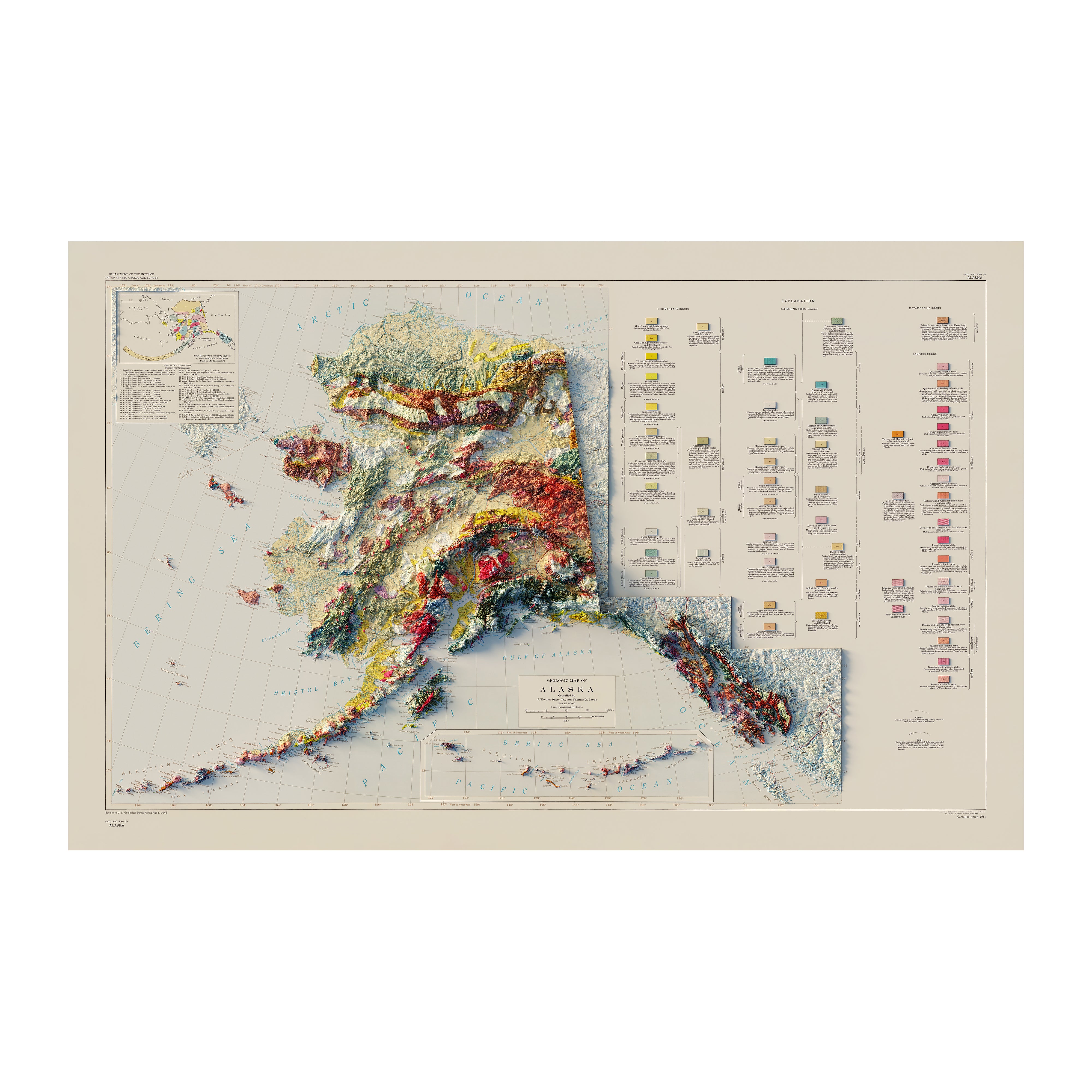
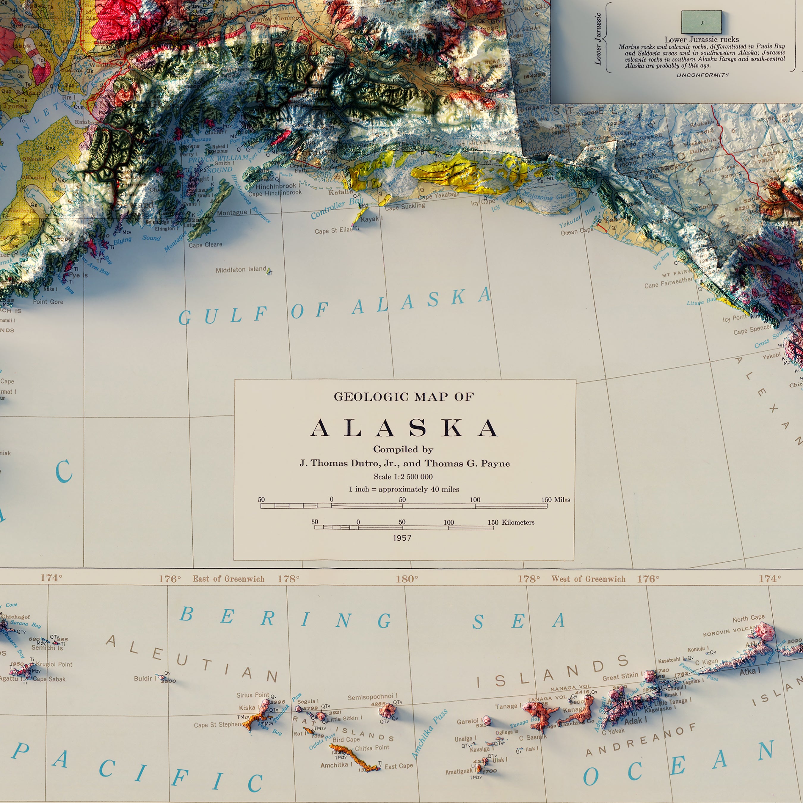
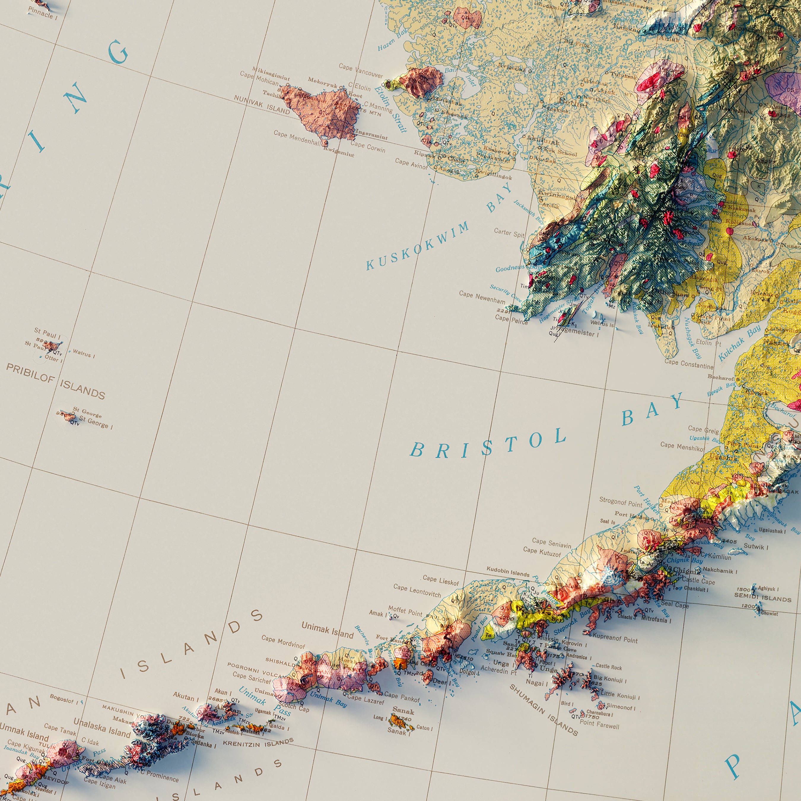
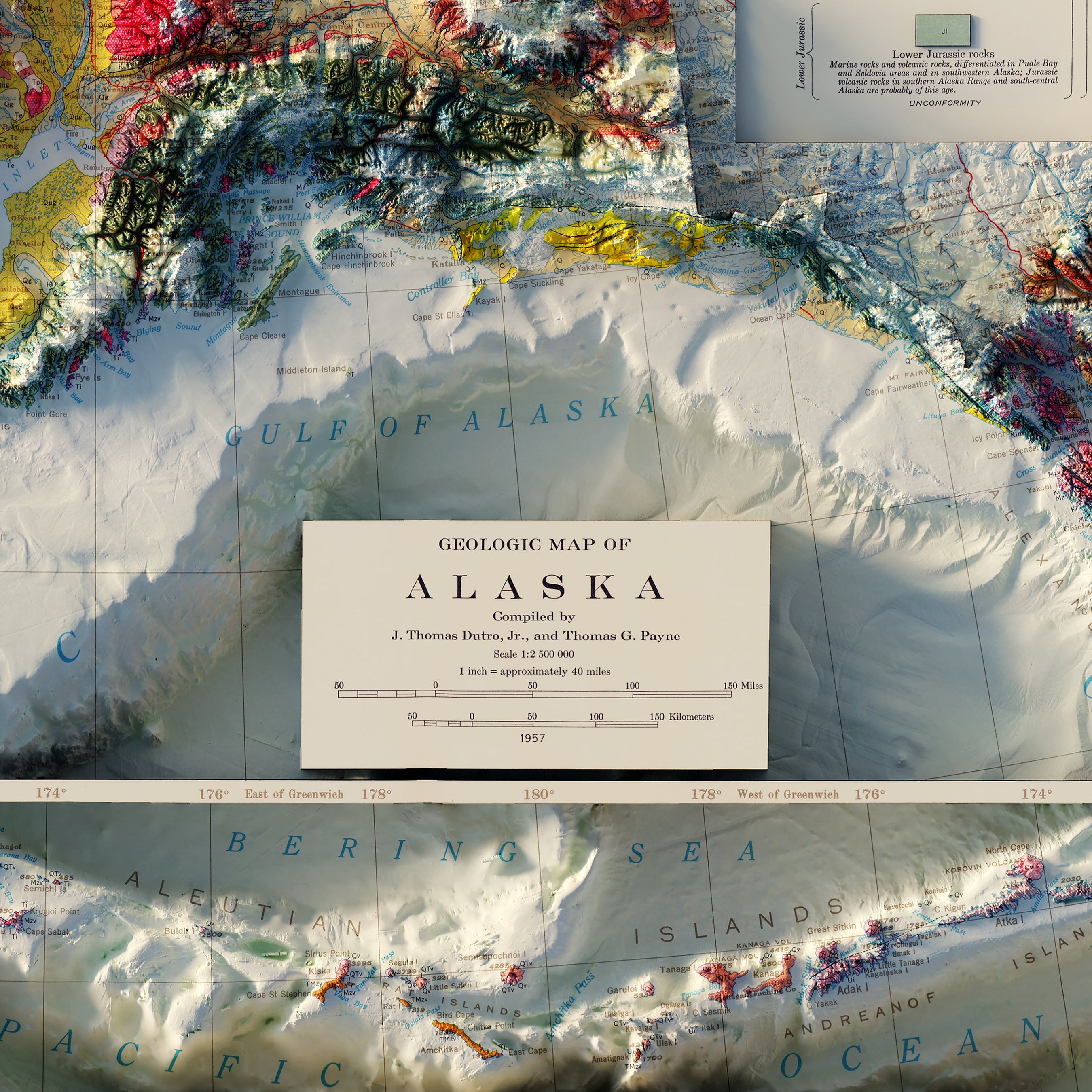
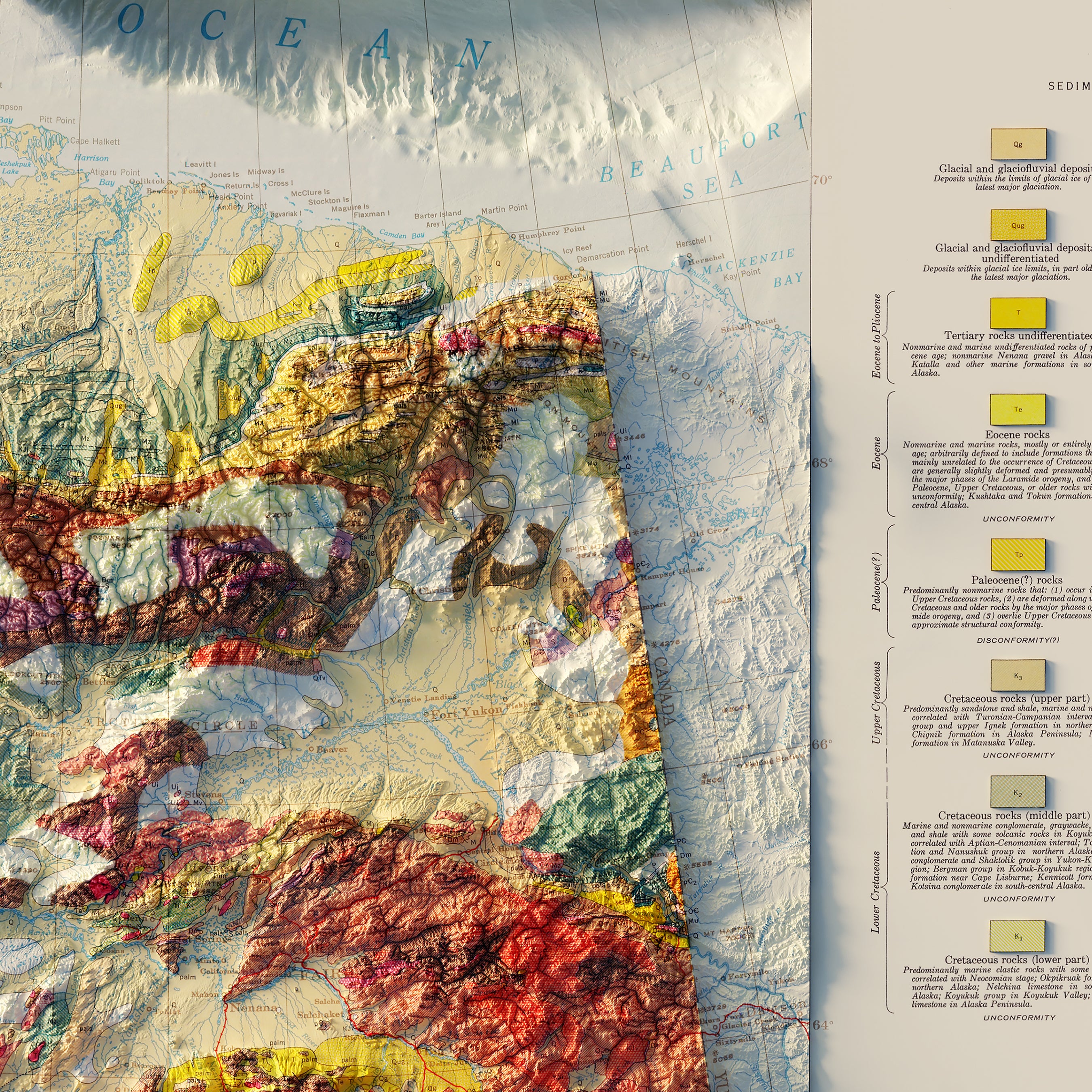
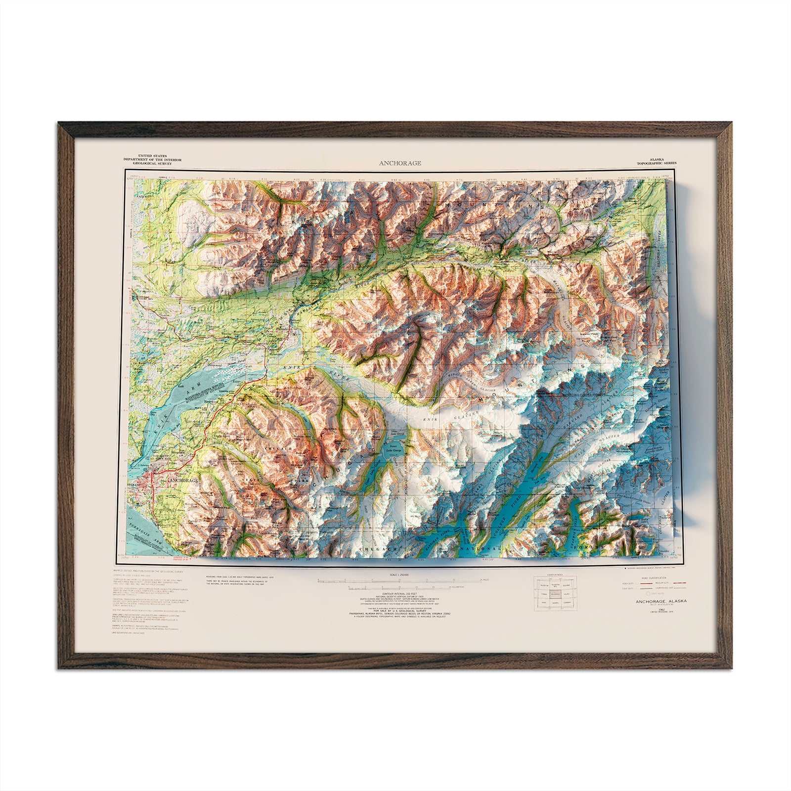
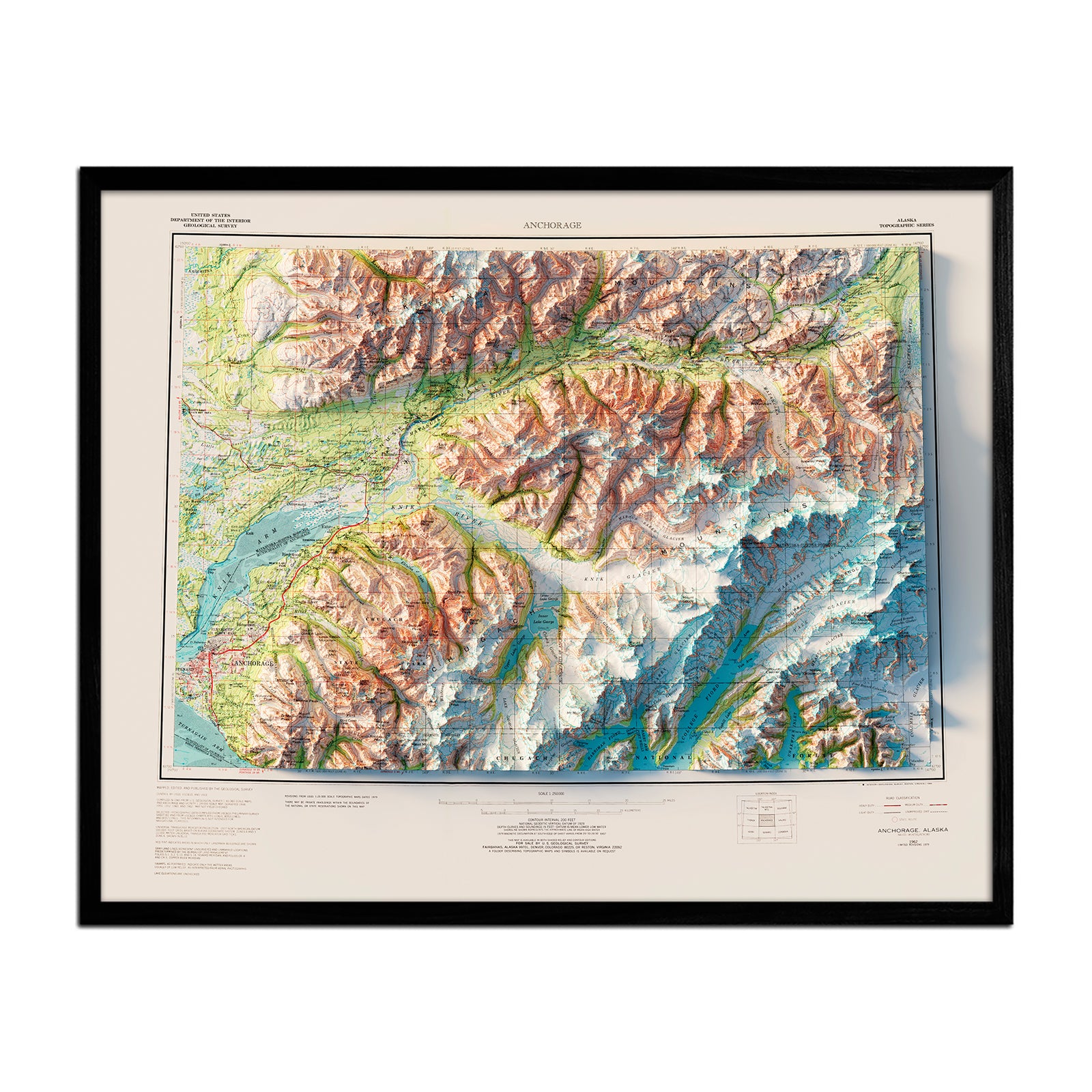
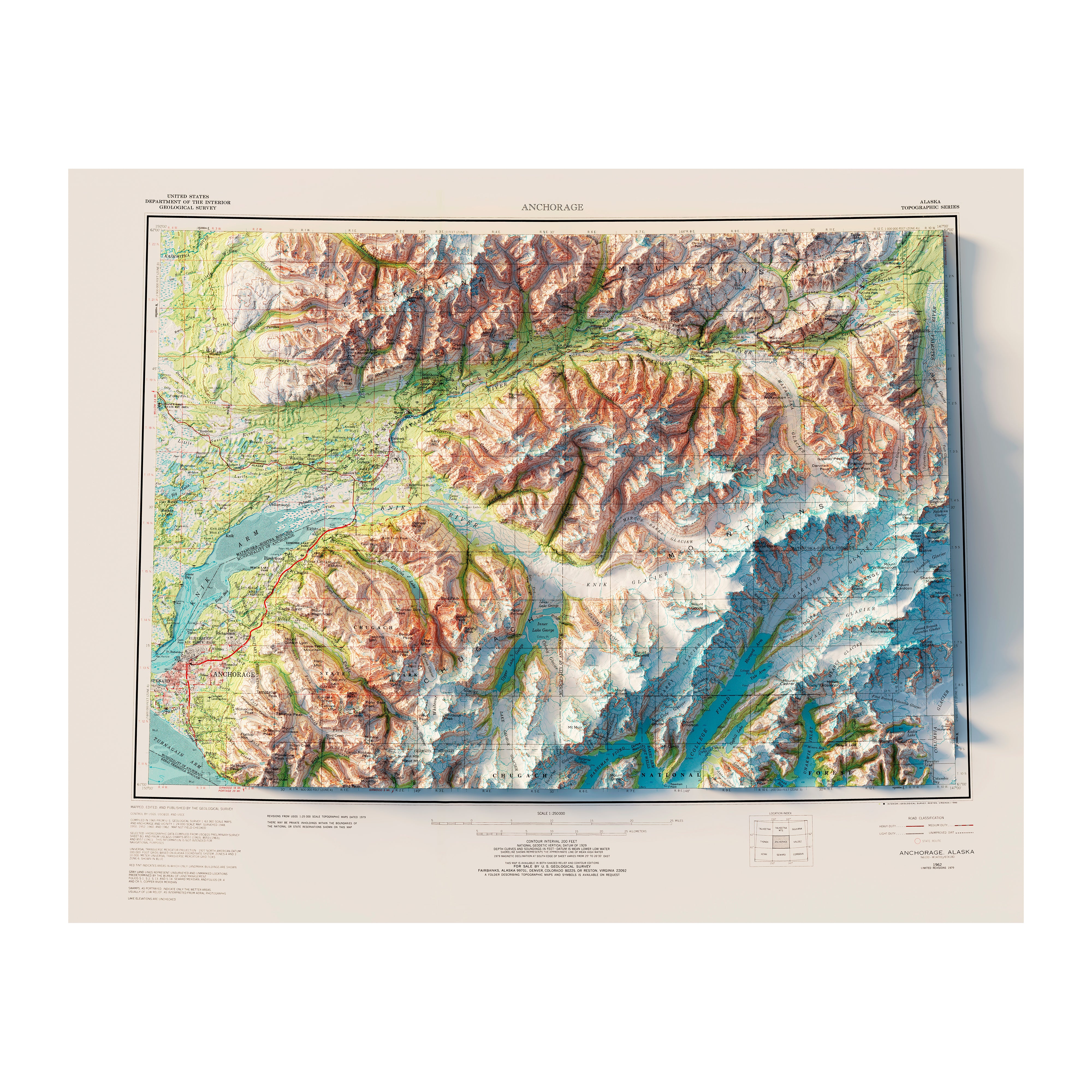
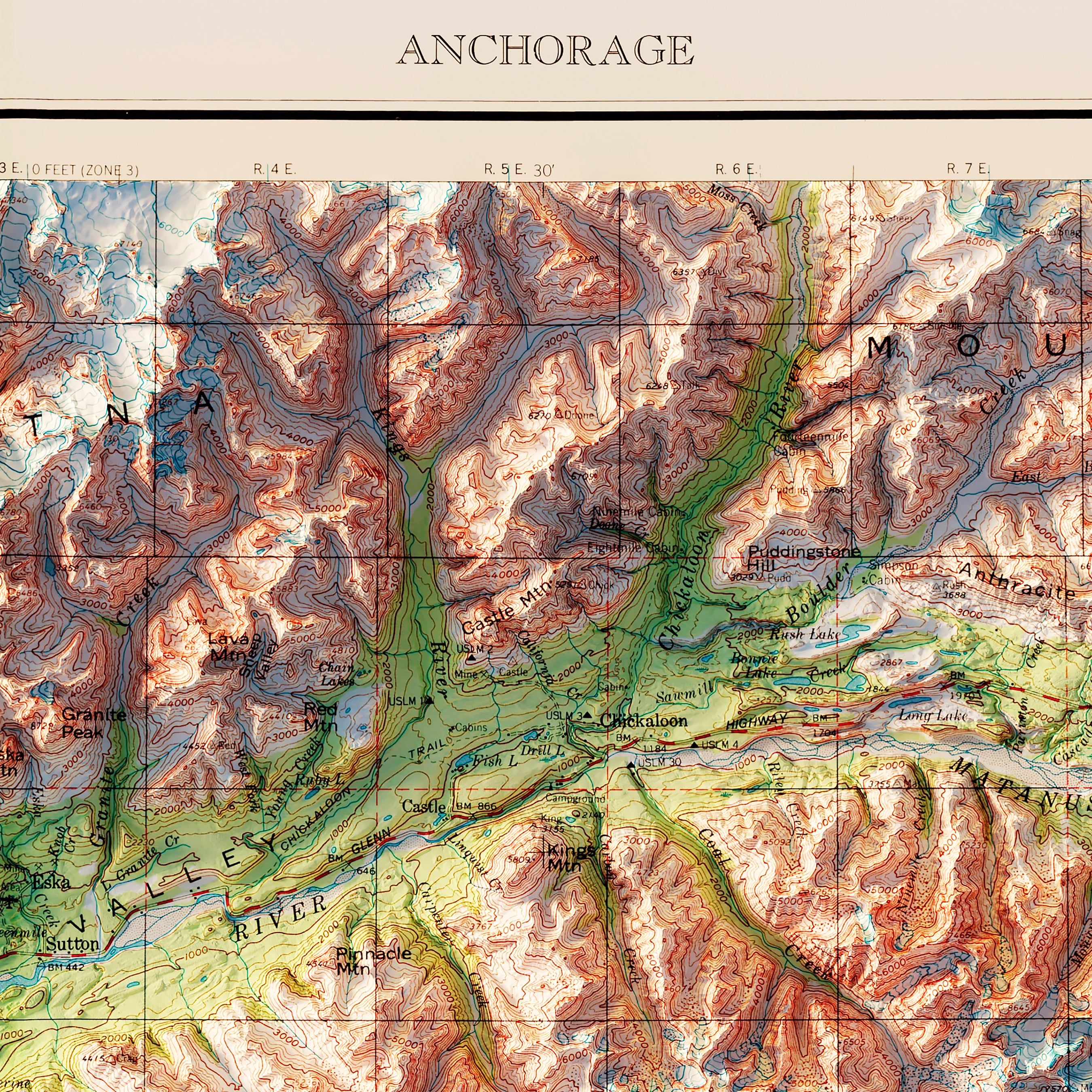
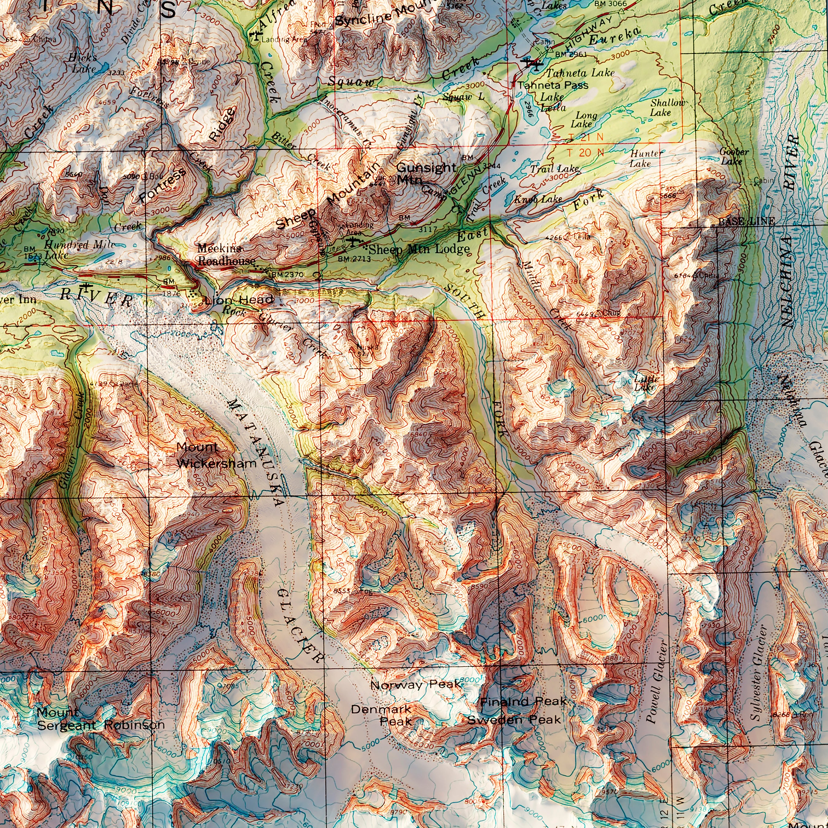
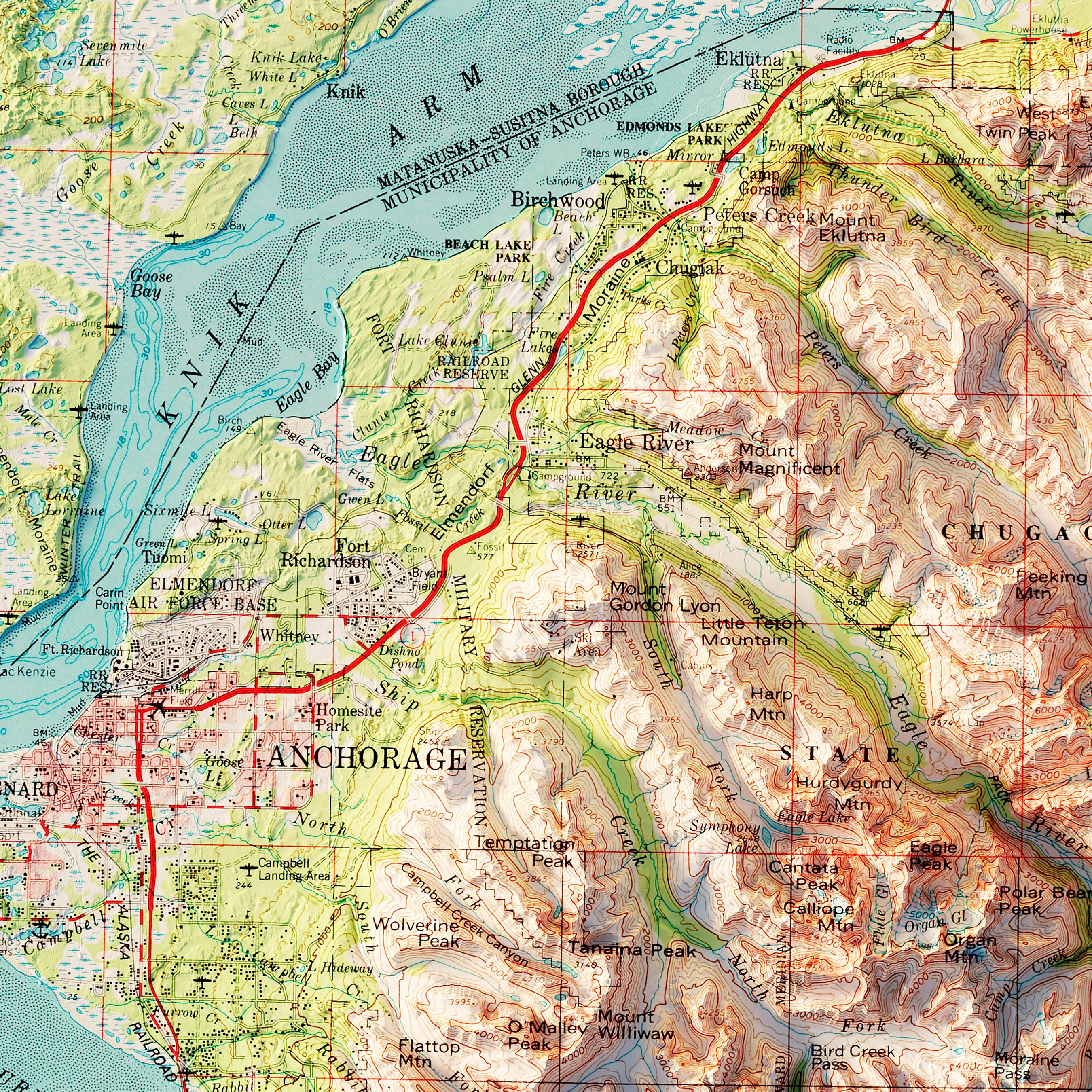
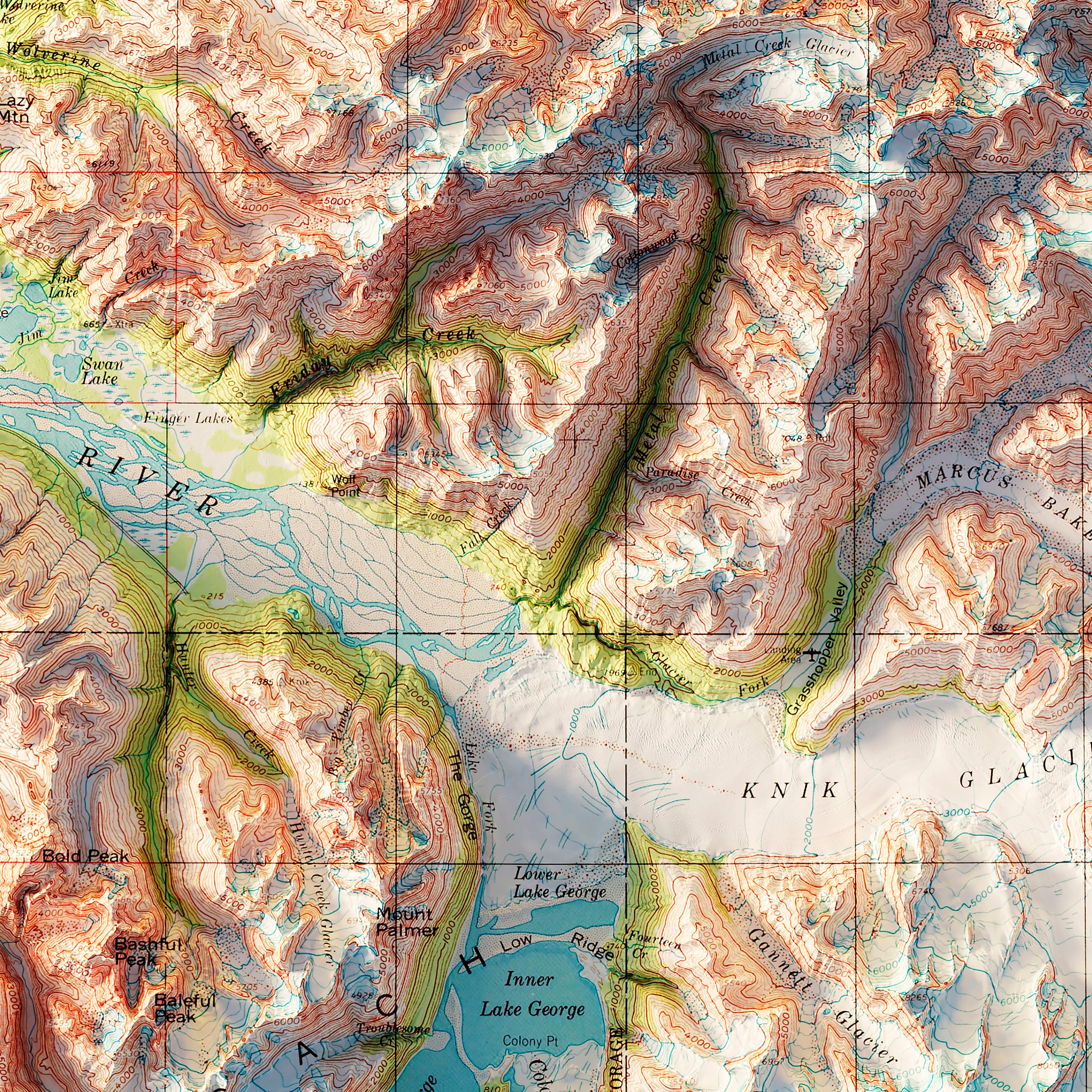
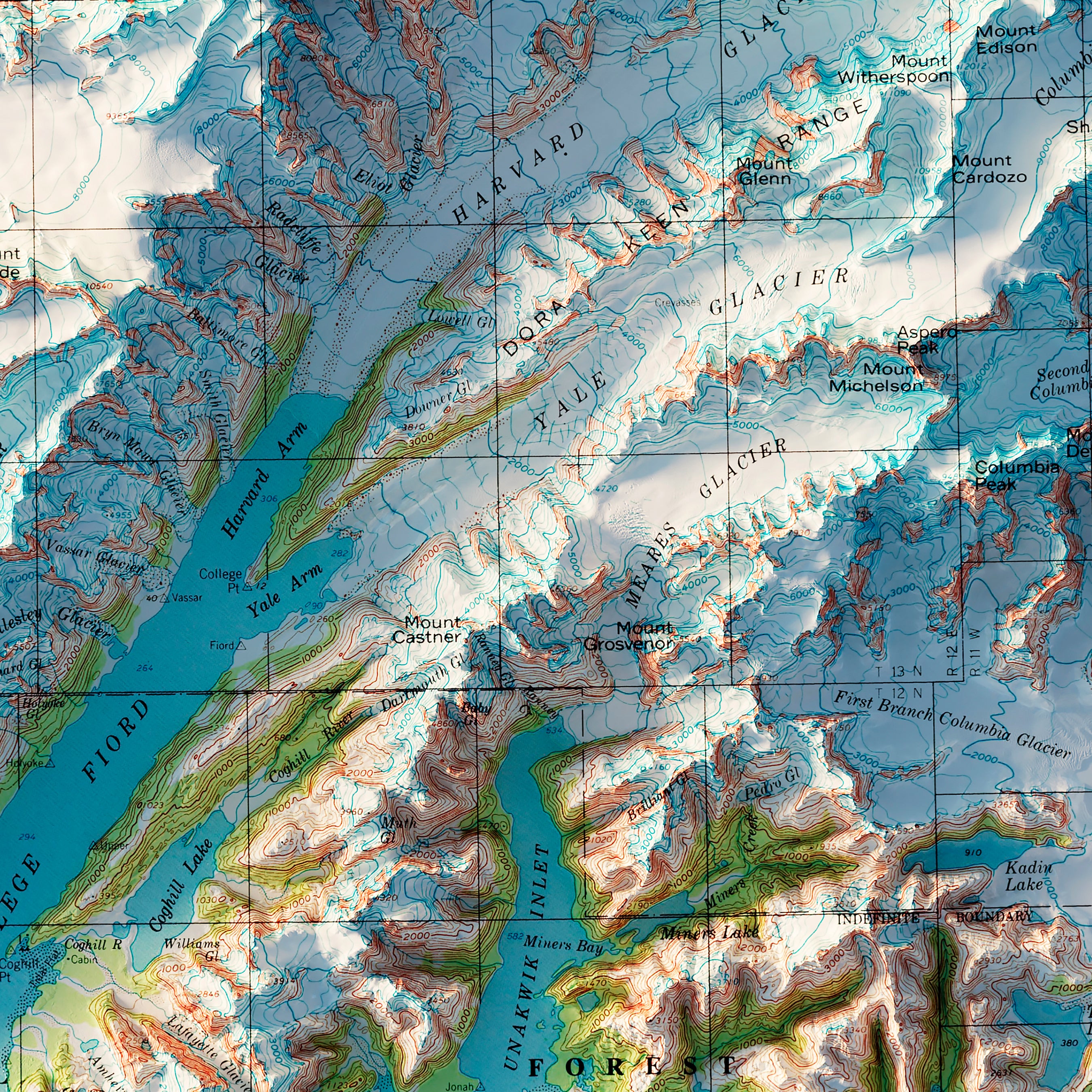
Our 1909 state maps, including those of Alaska and Alabama, depict the American landscape as it was over a century ago. At the turn of the 20th century, Alaska was just a few years past its gold rush period, and the map hints at the harsh, unexplored terrain that prospectors braved in their quest for riches.
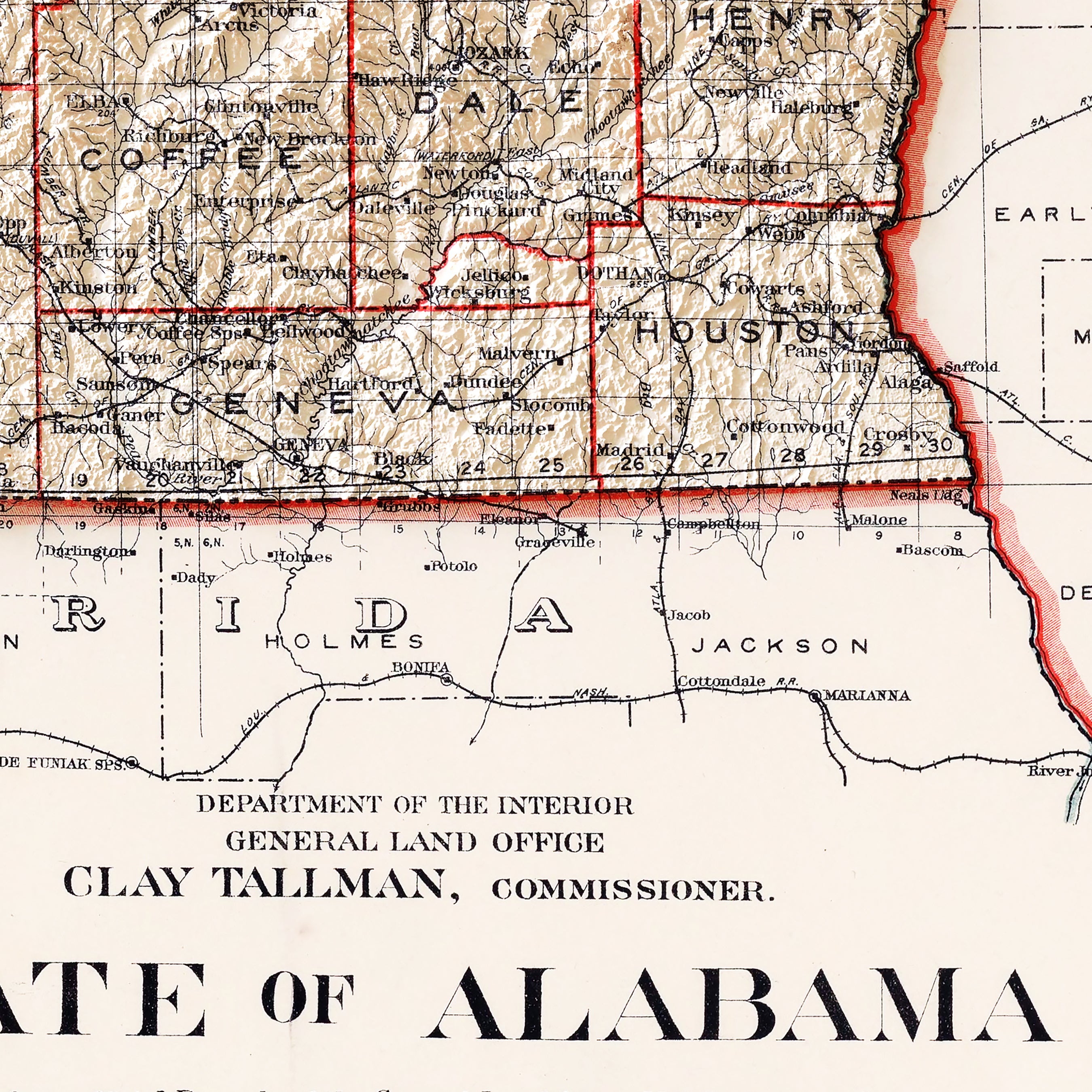
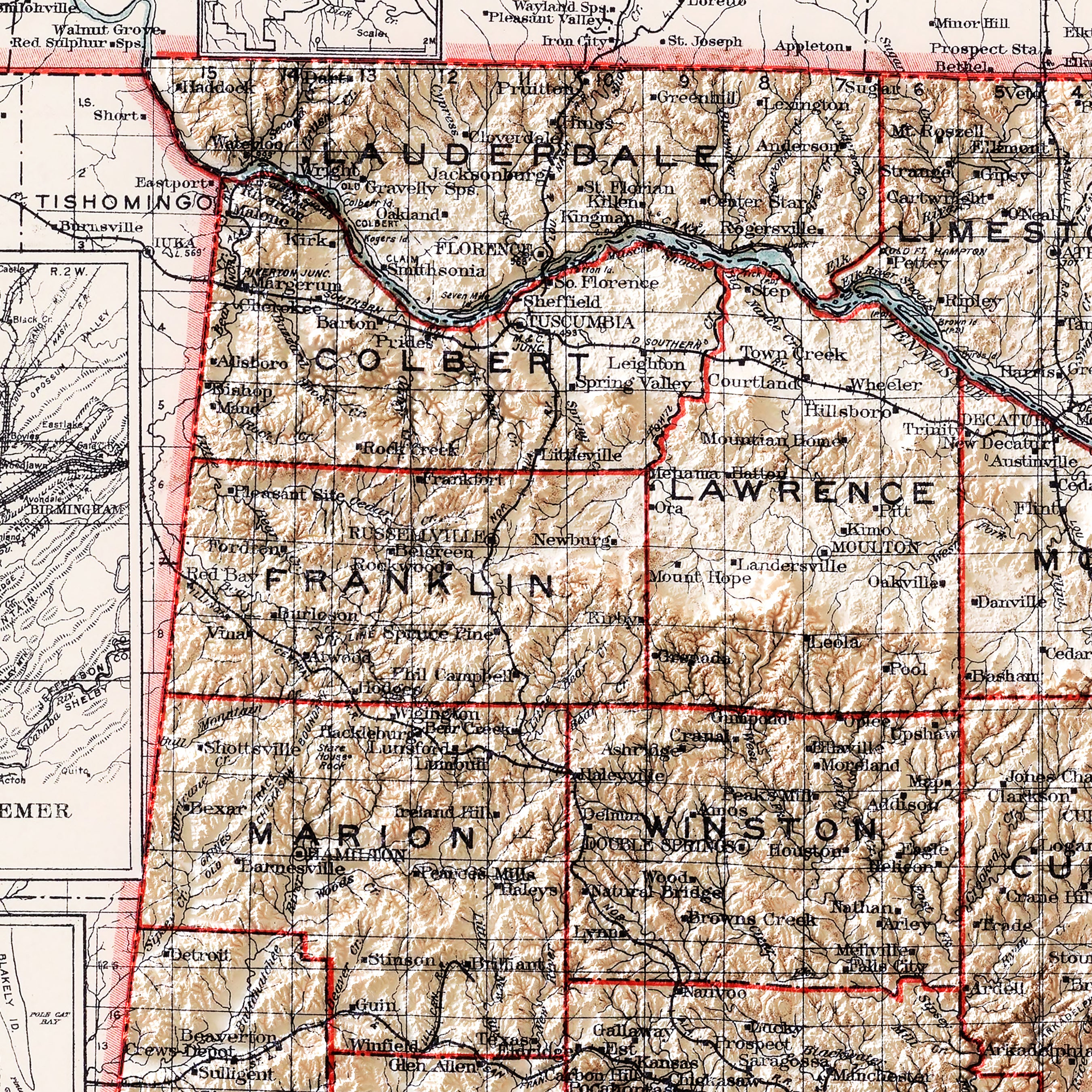
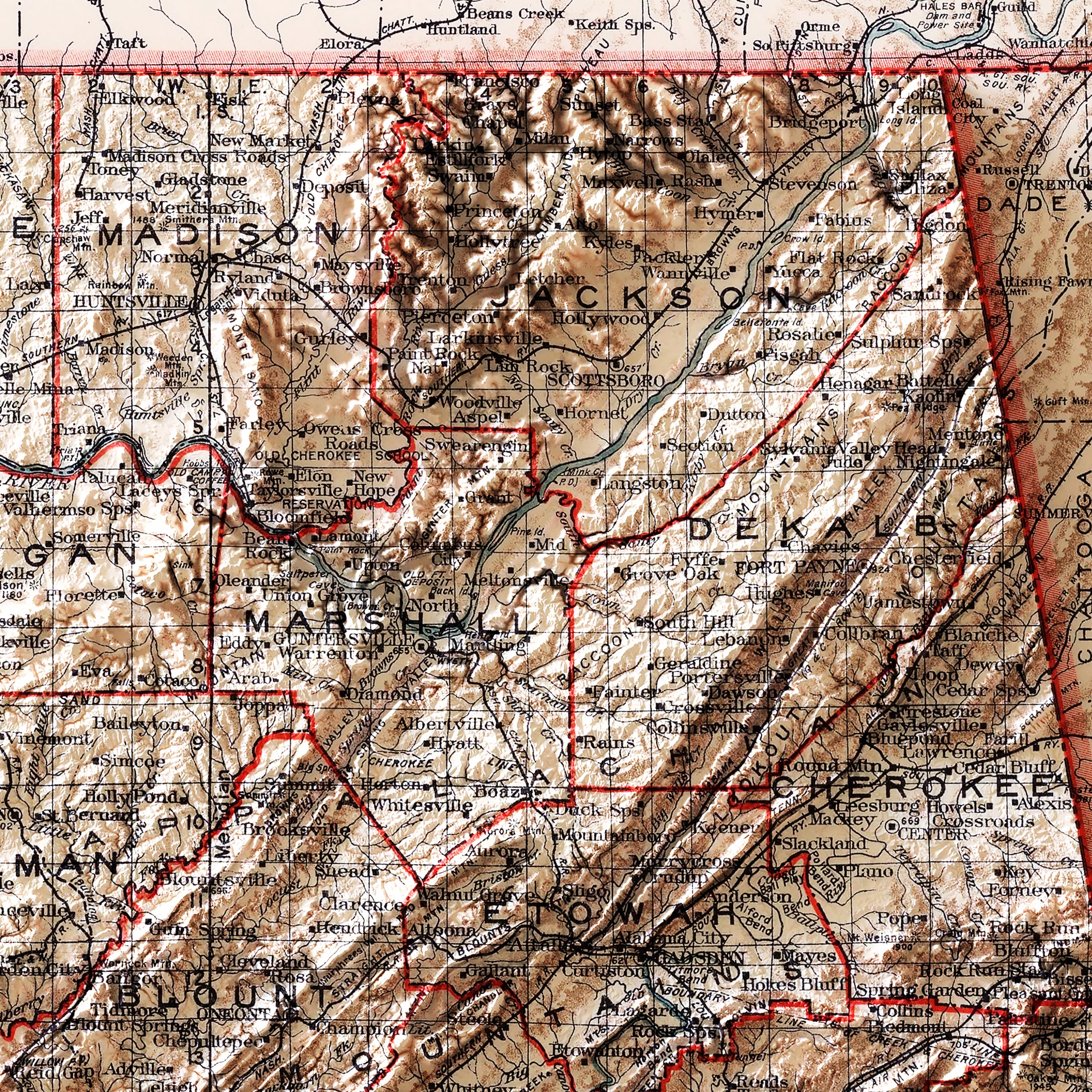
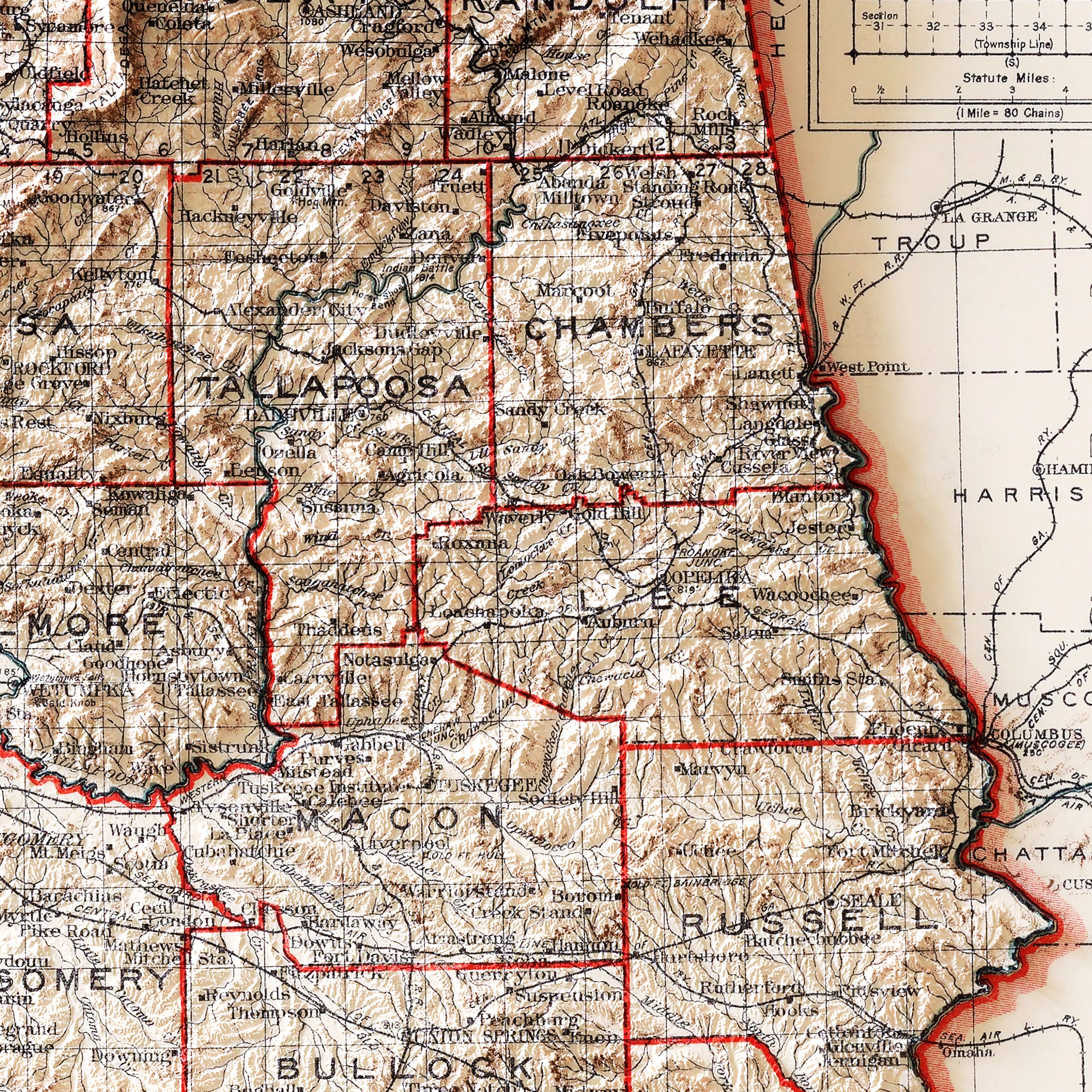
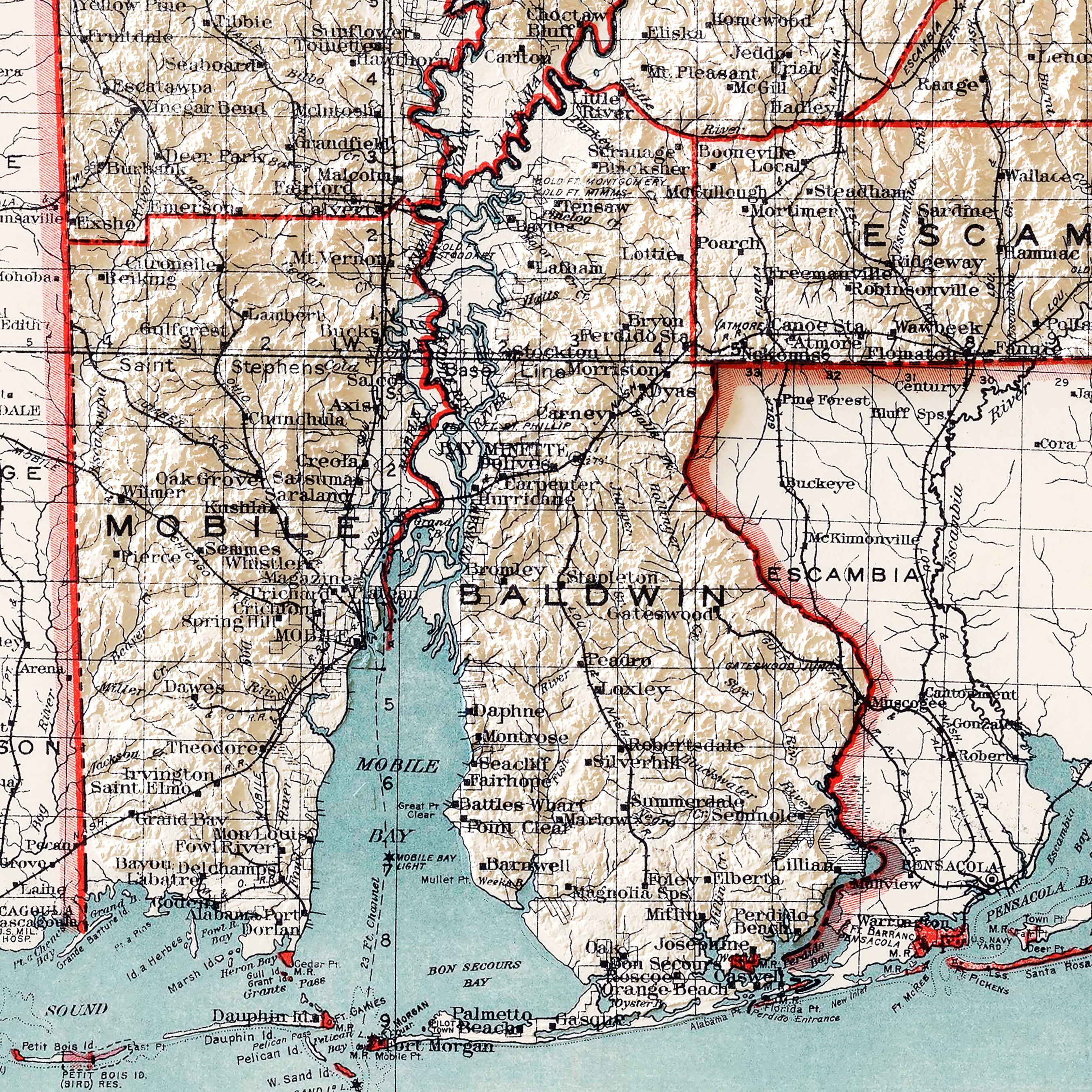
On the other hand, the 1909 Alabama map offers a glimpse into the South's past, capturing its geography before modern developments transformed the landscape. Through peaks and valleys artfully depicted through shading, these relief maps bring the physical landscape of a historical era to life.
What Makes Our Vintage Shaded Relief Map Prints So Special?
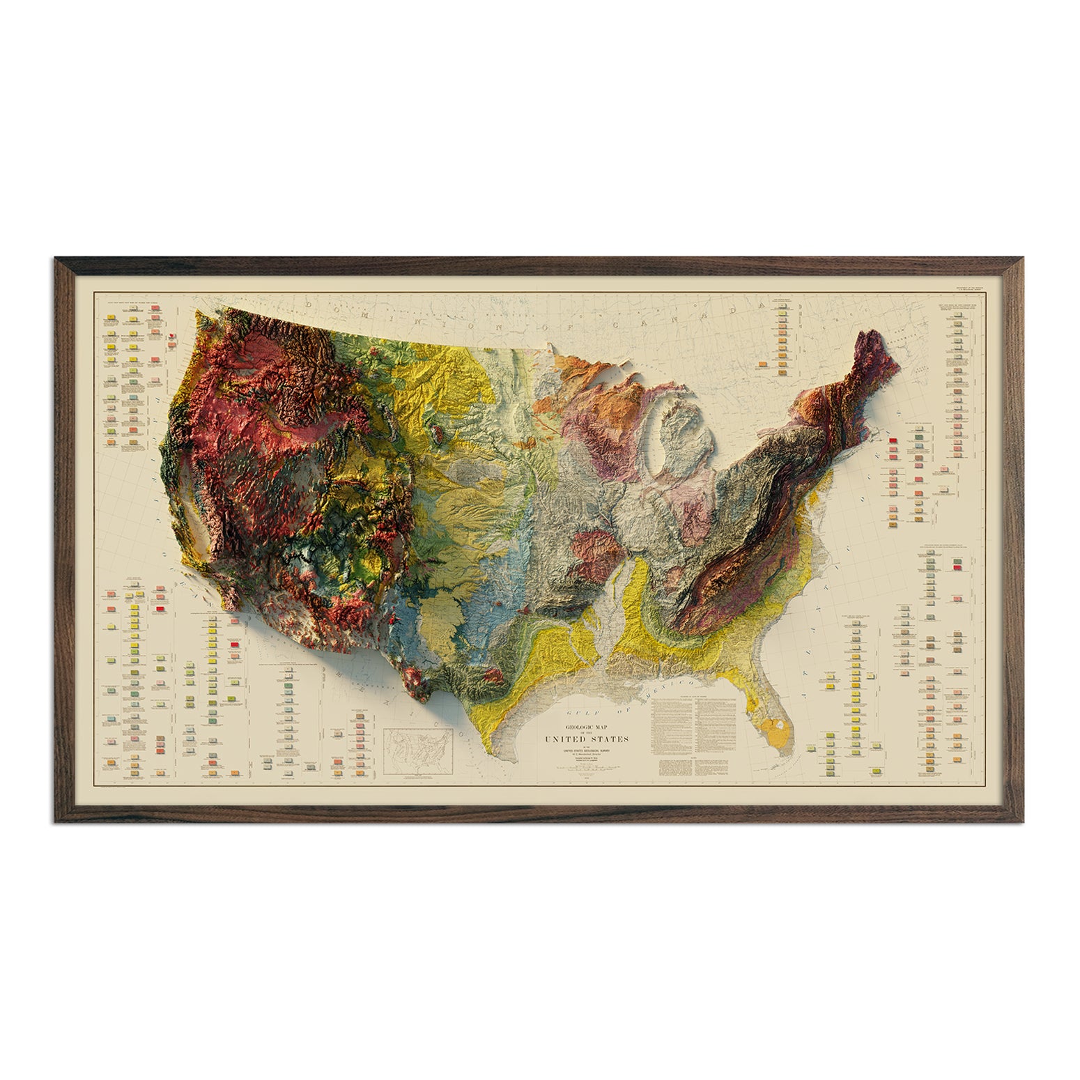
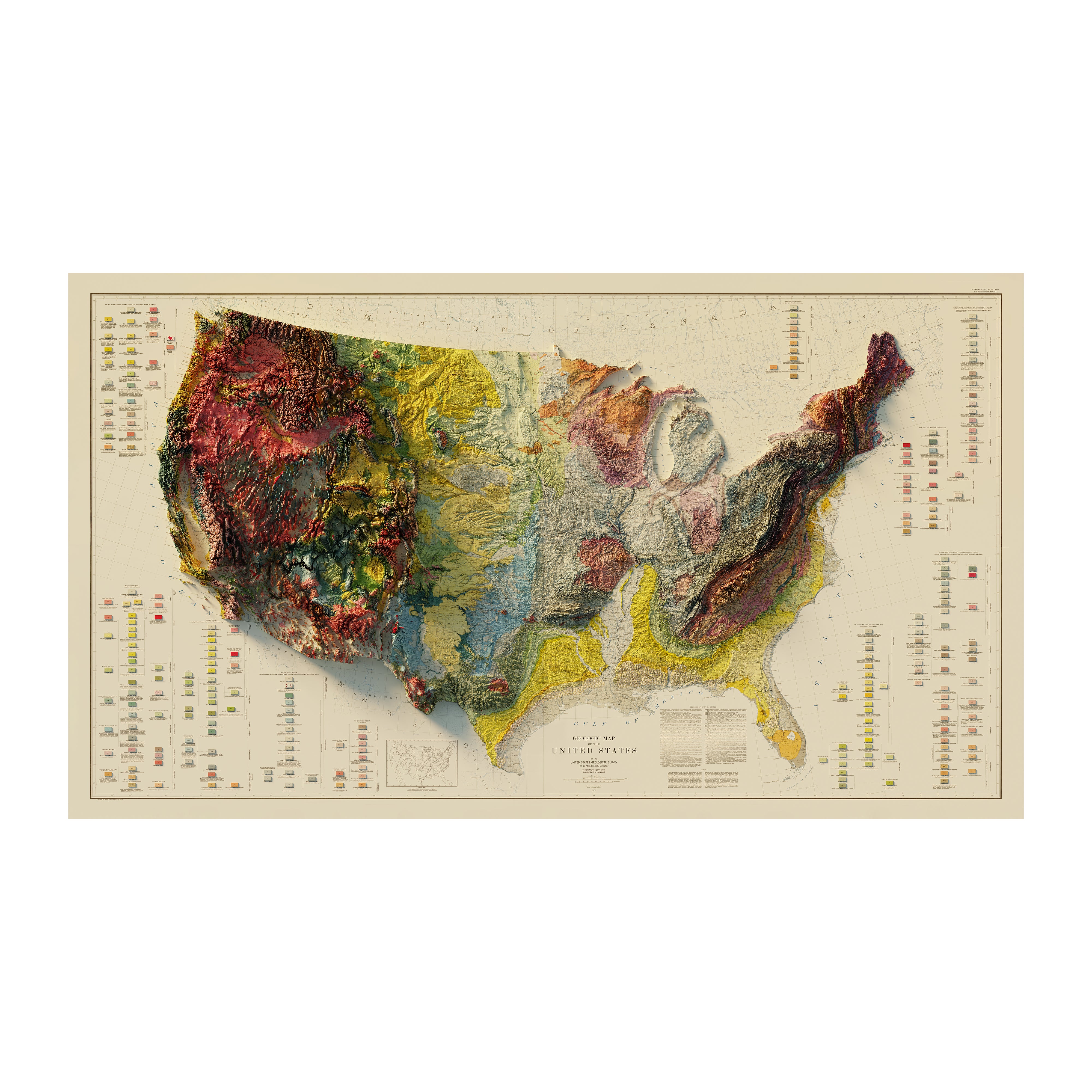
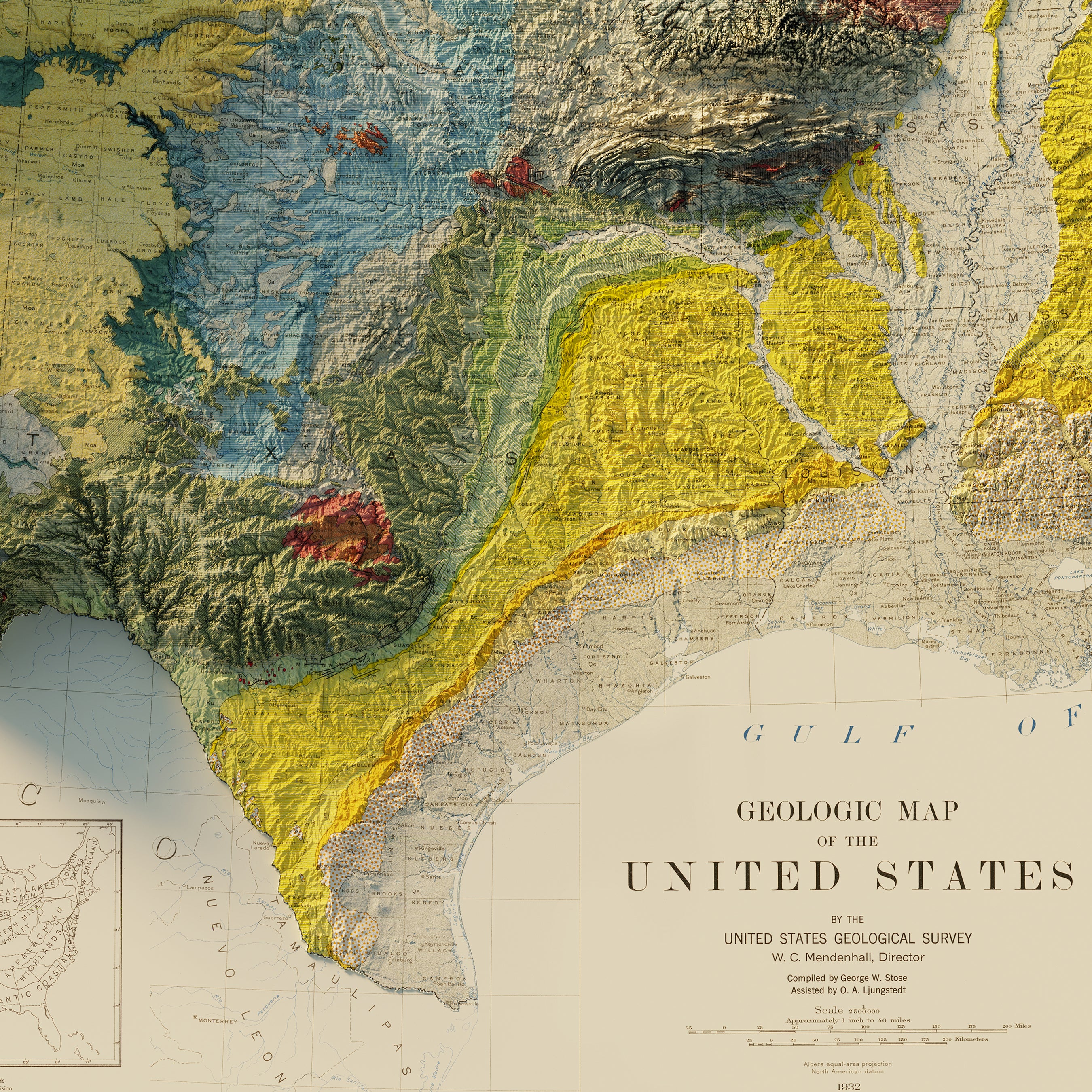
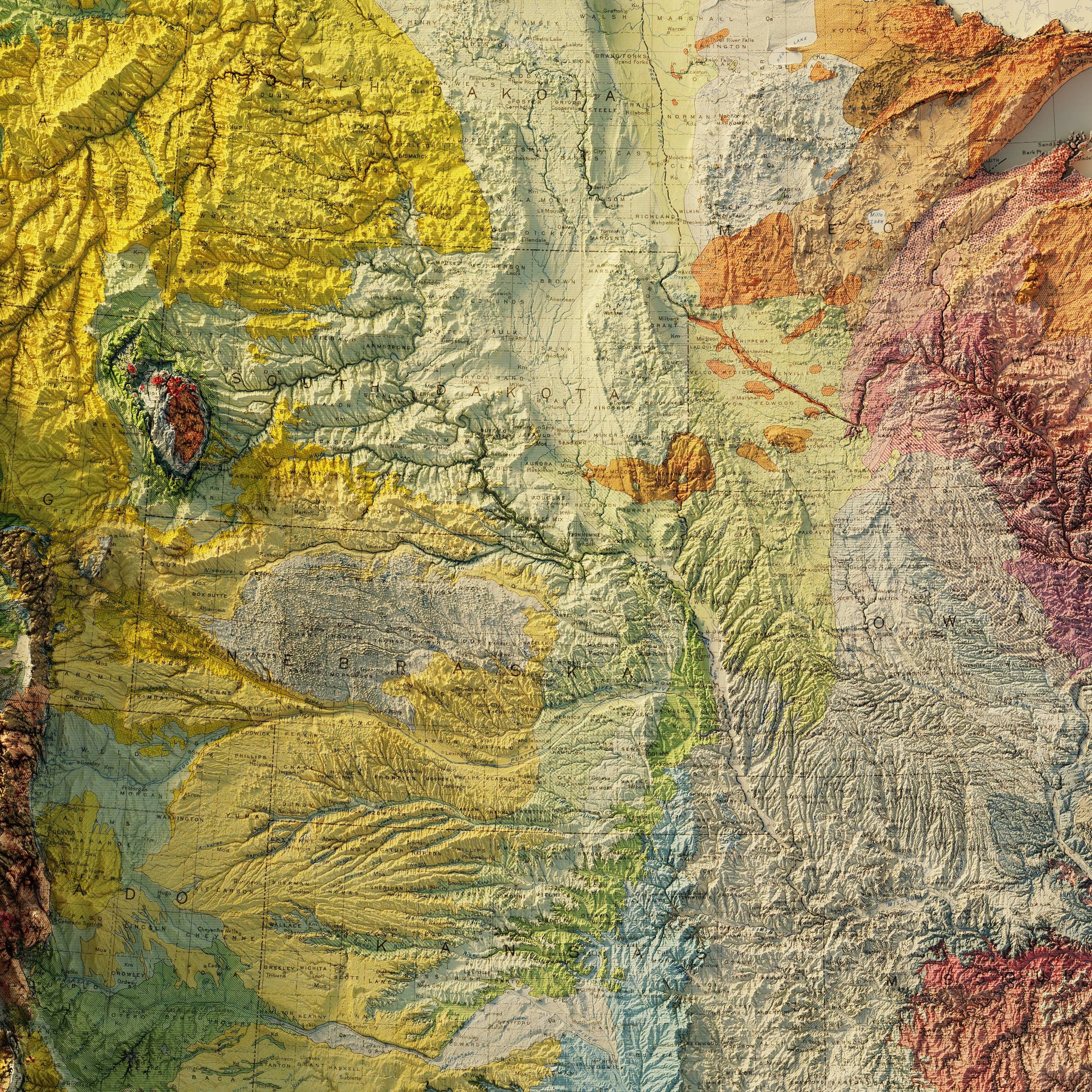
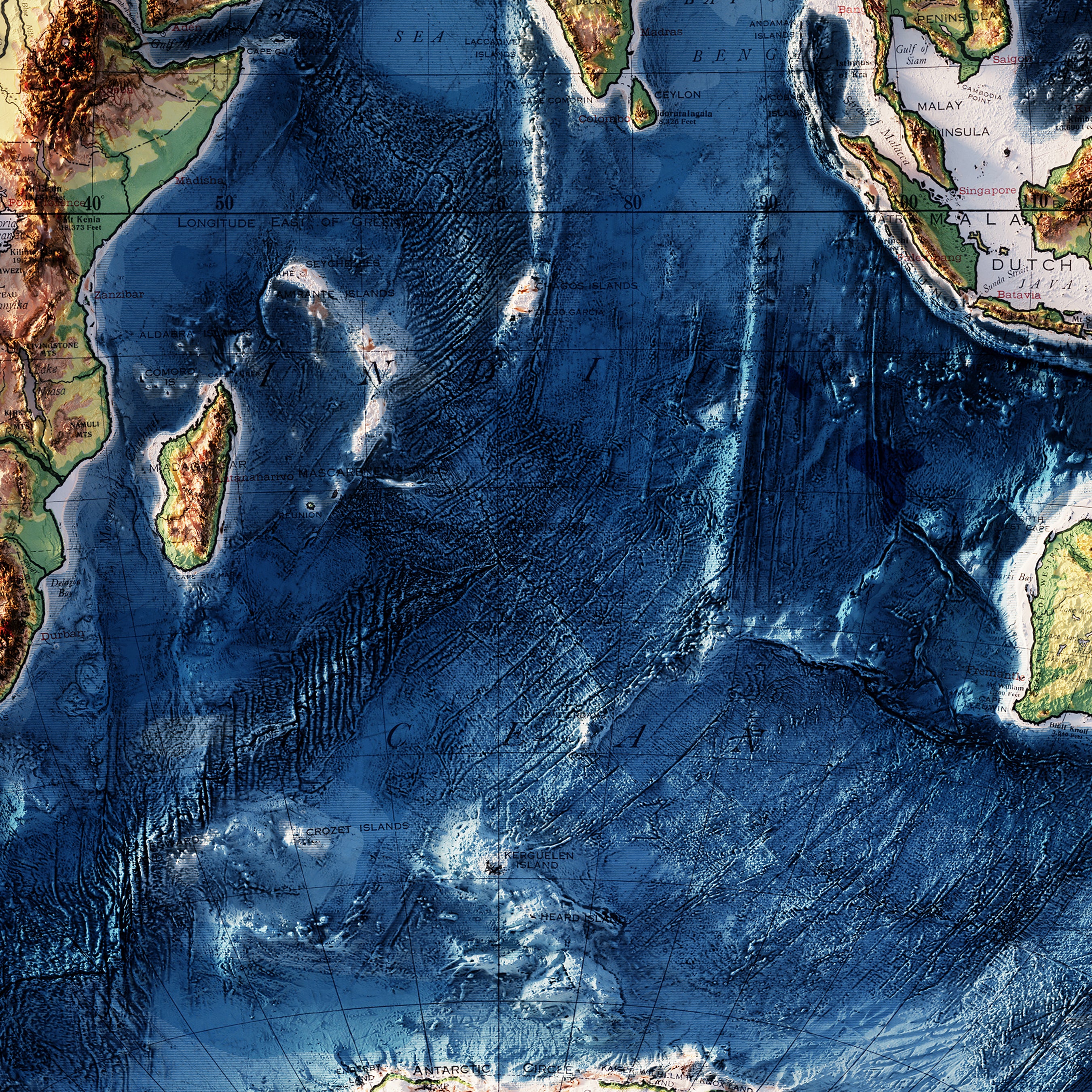
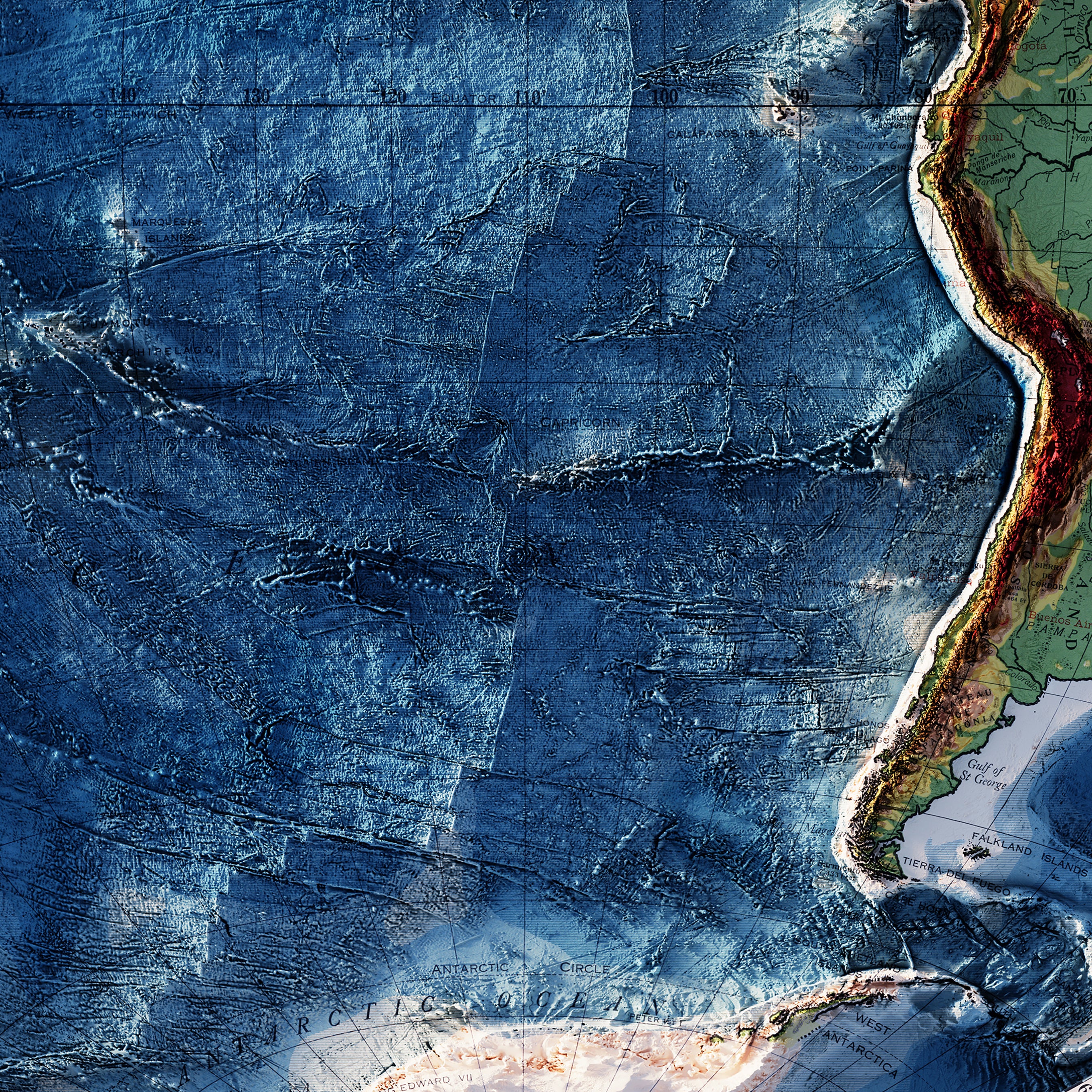
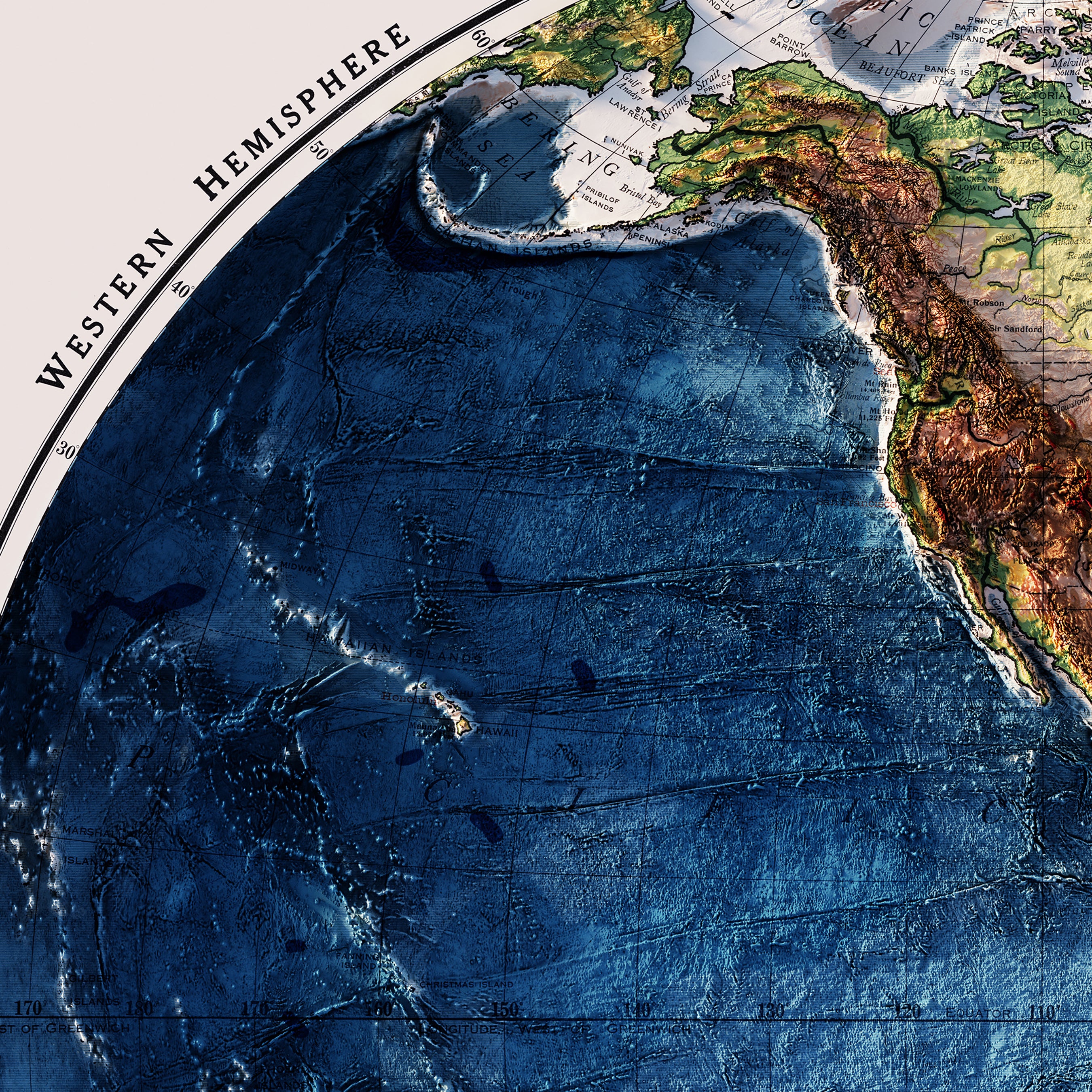
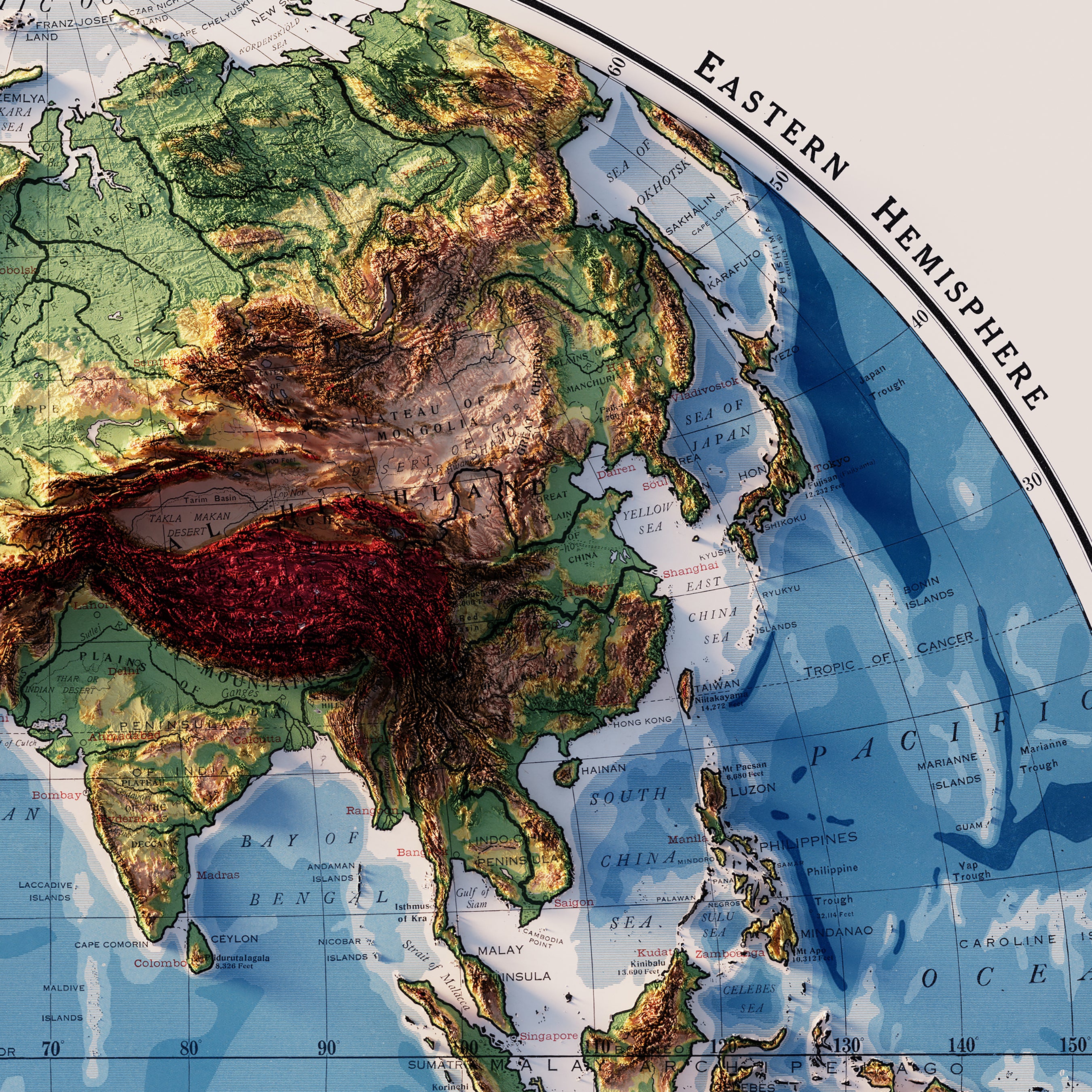
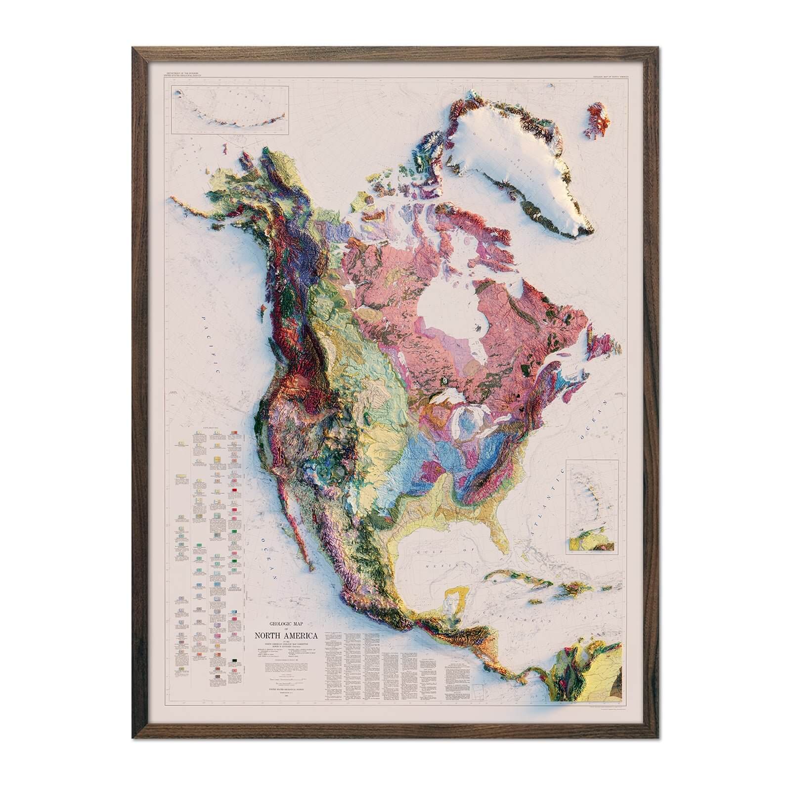
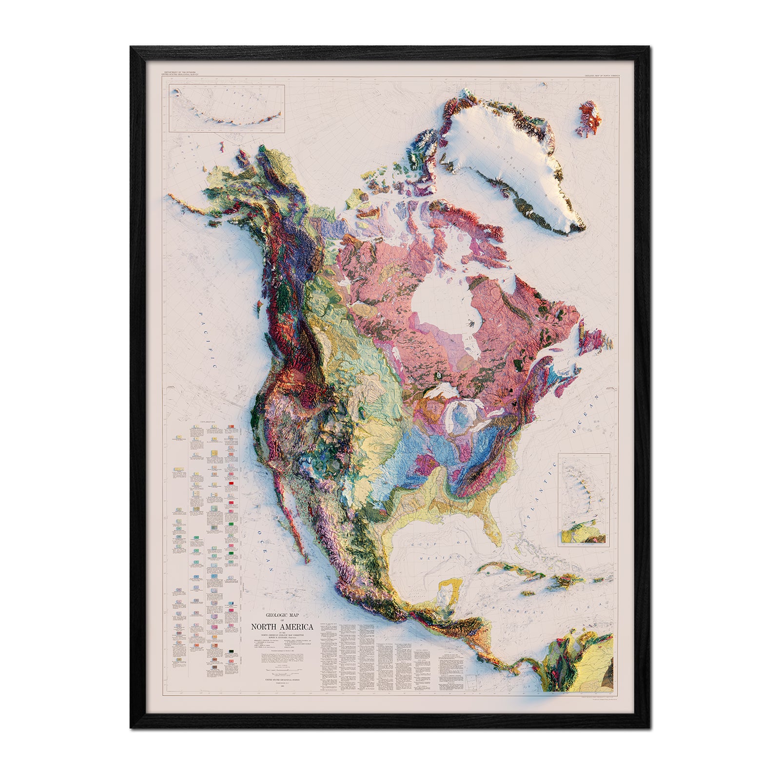
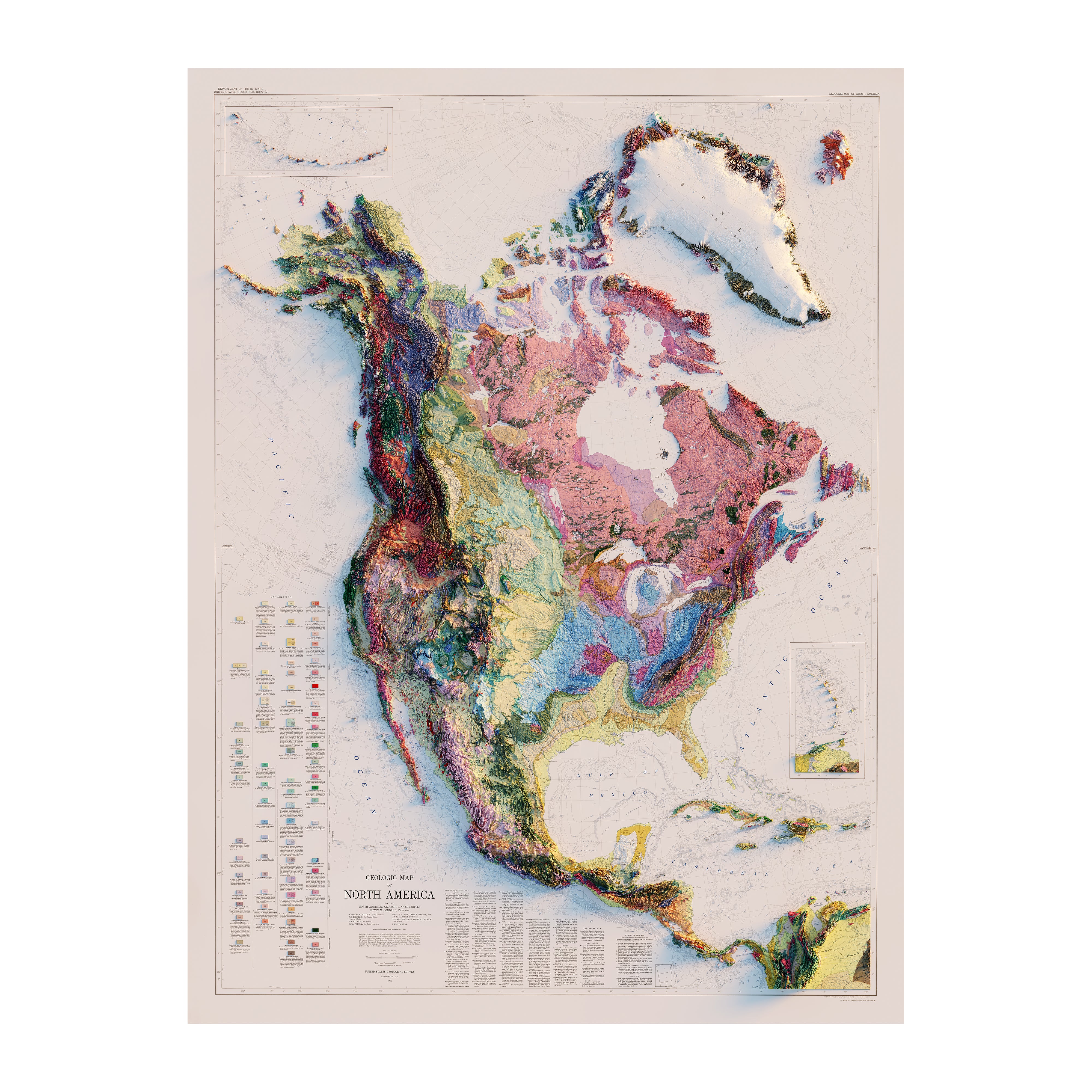
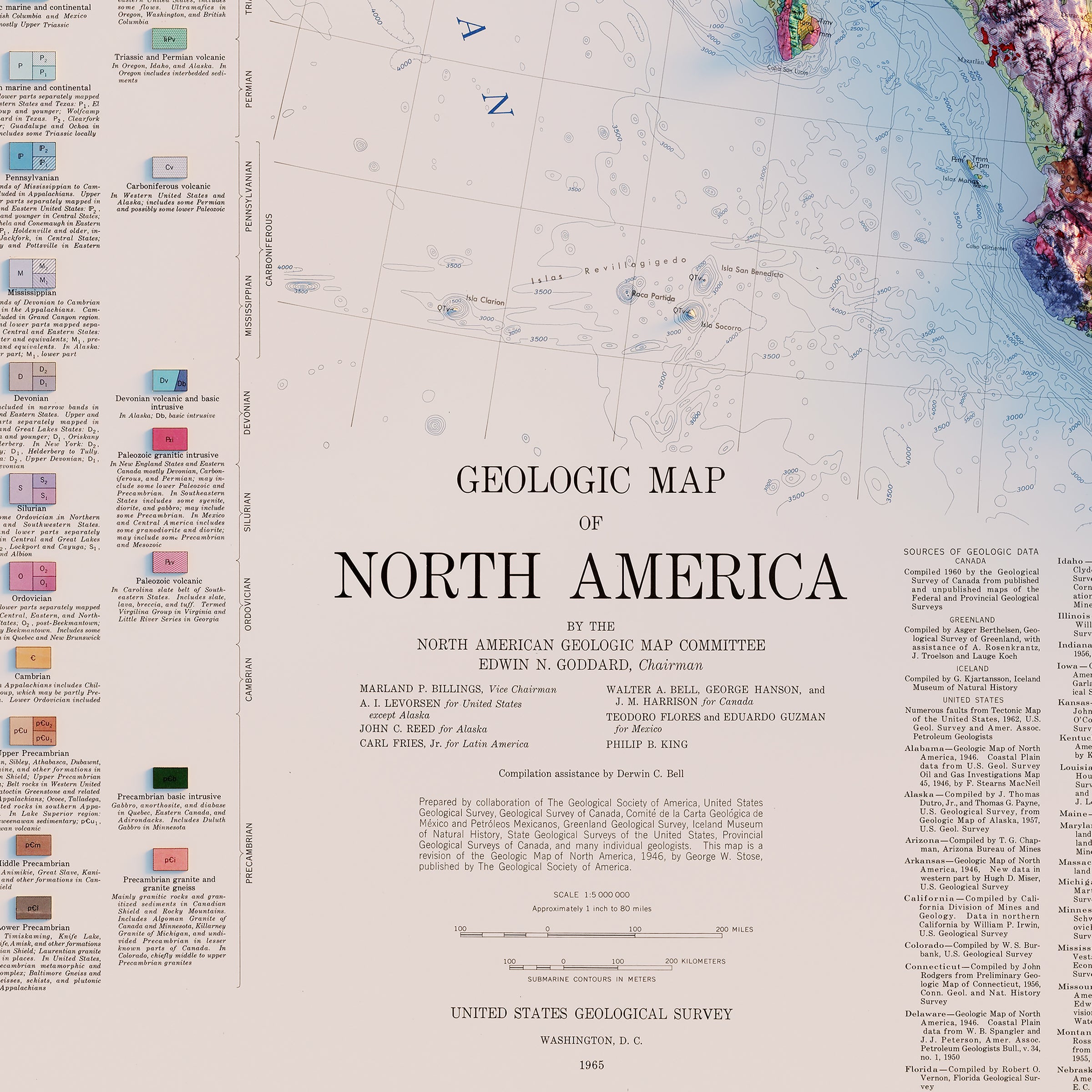
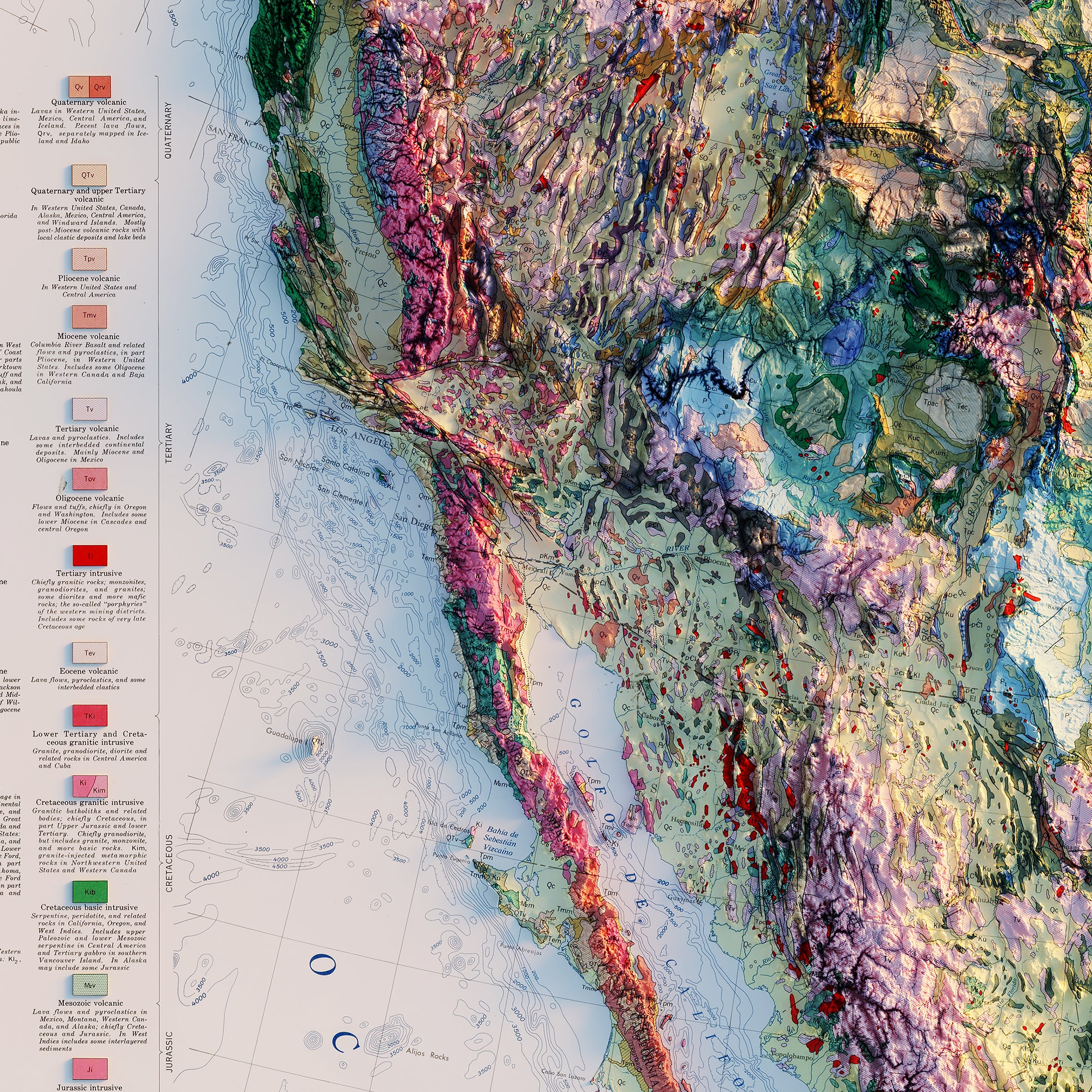
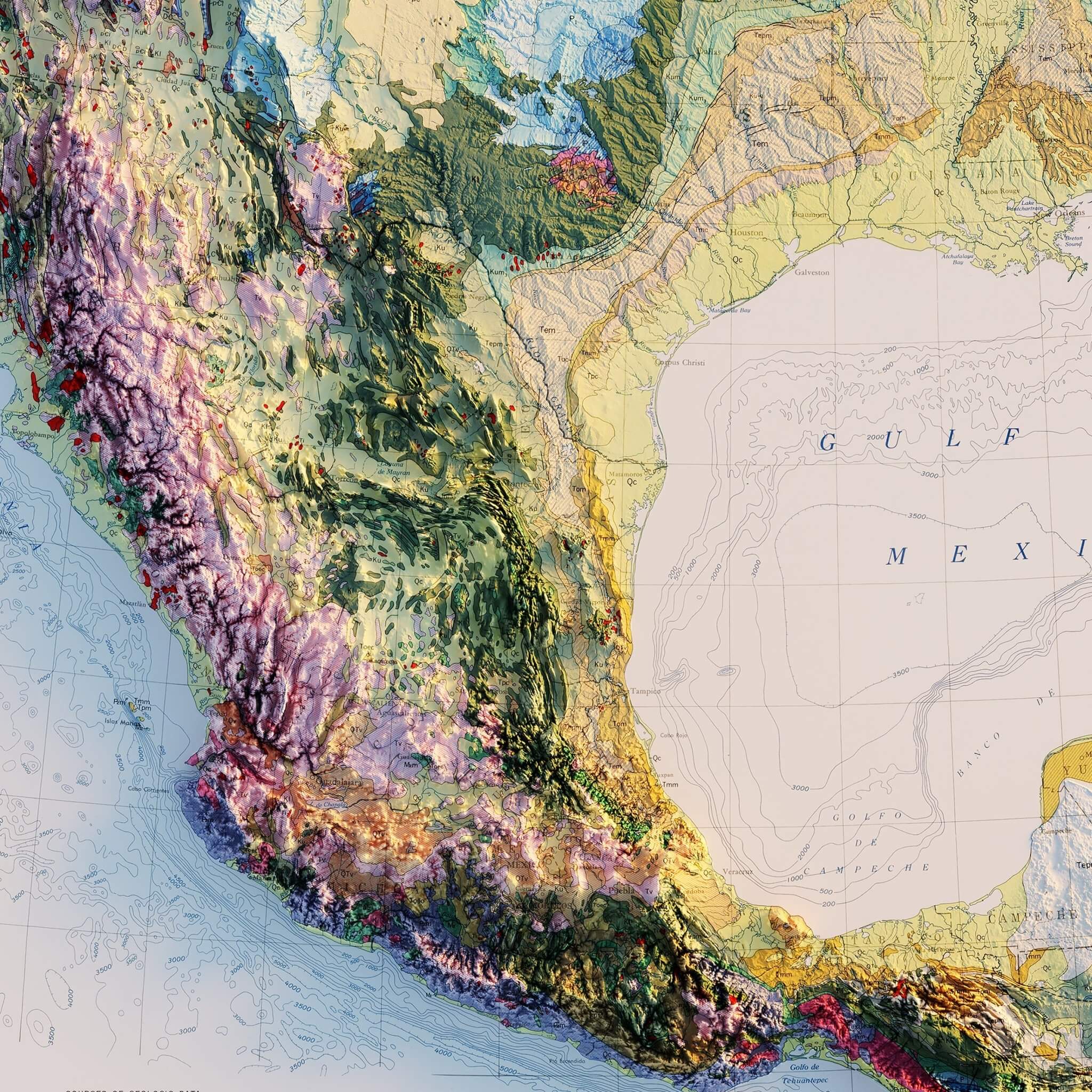
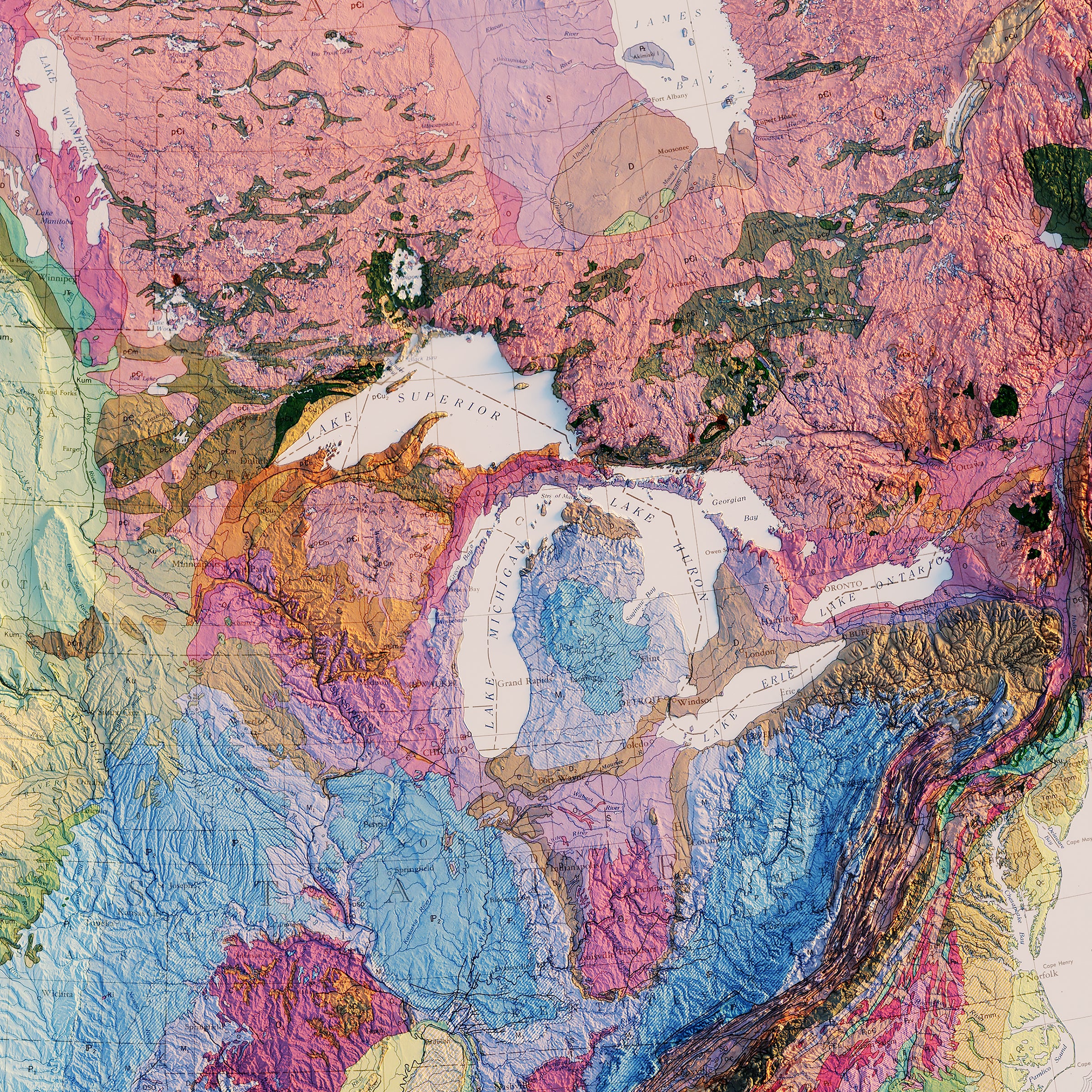
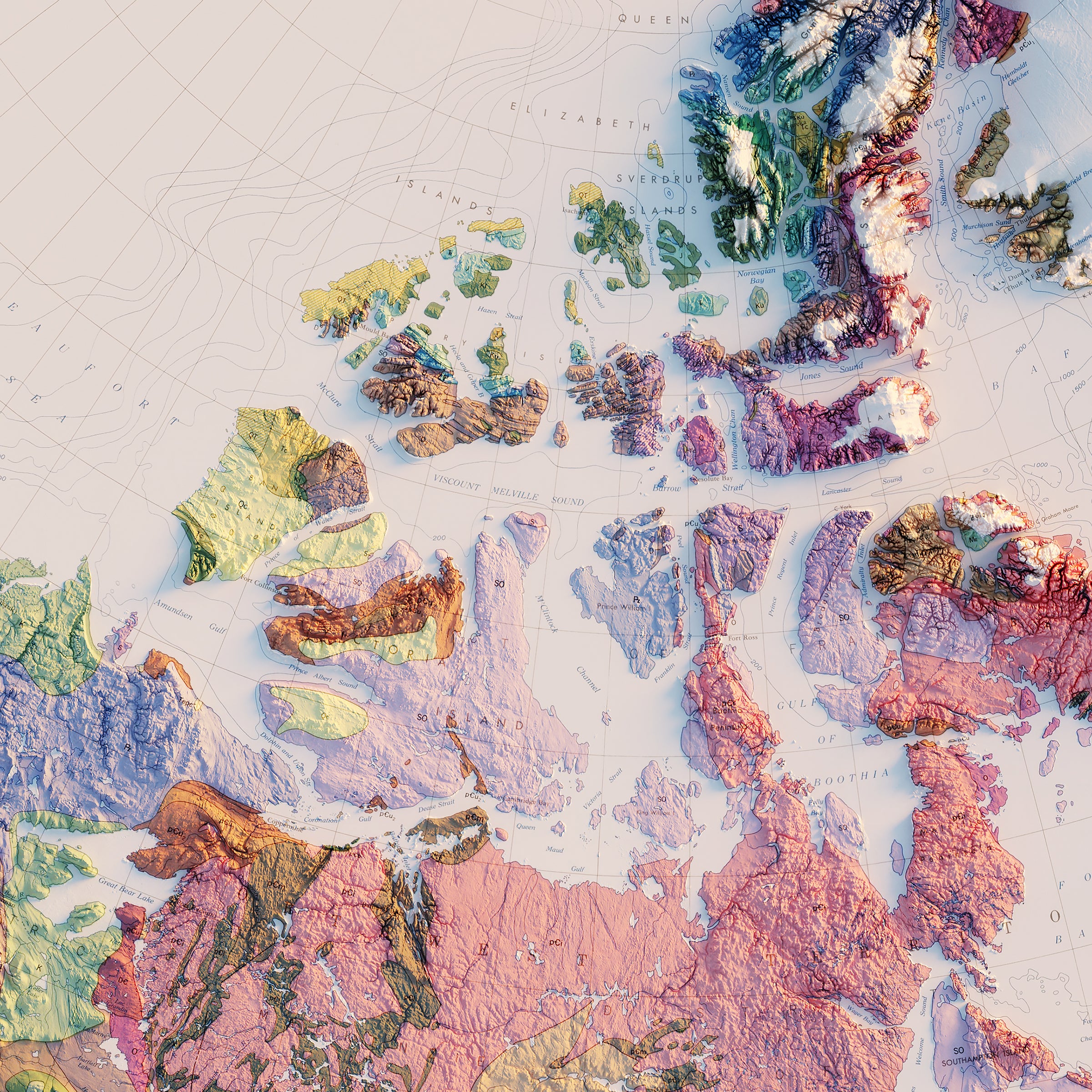
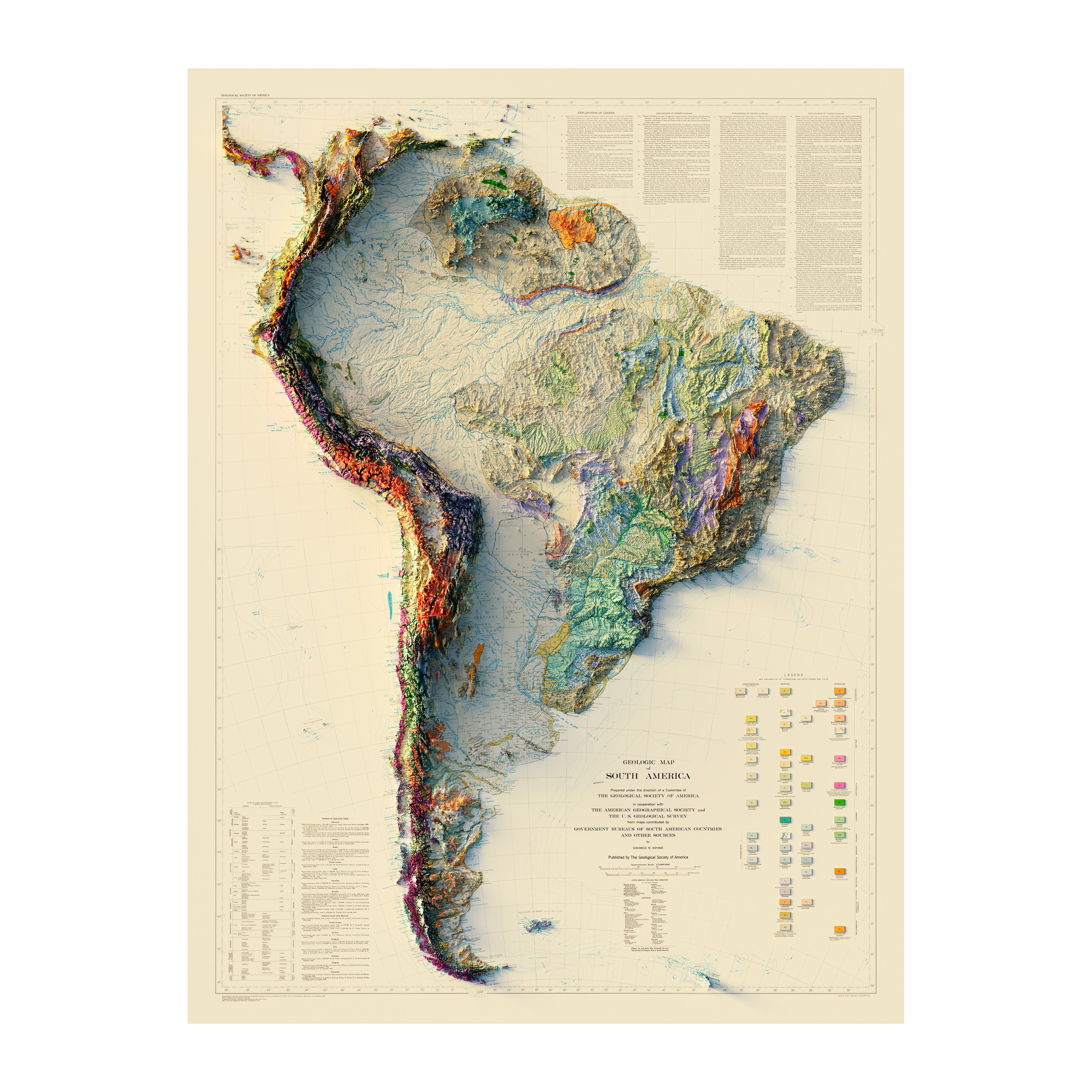
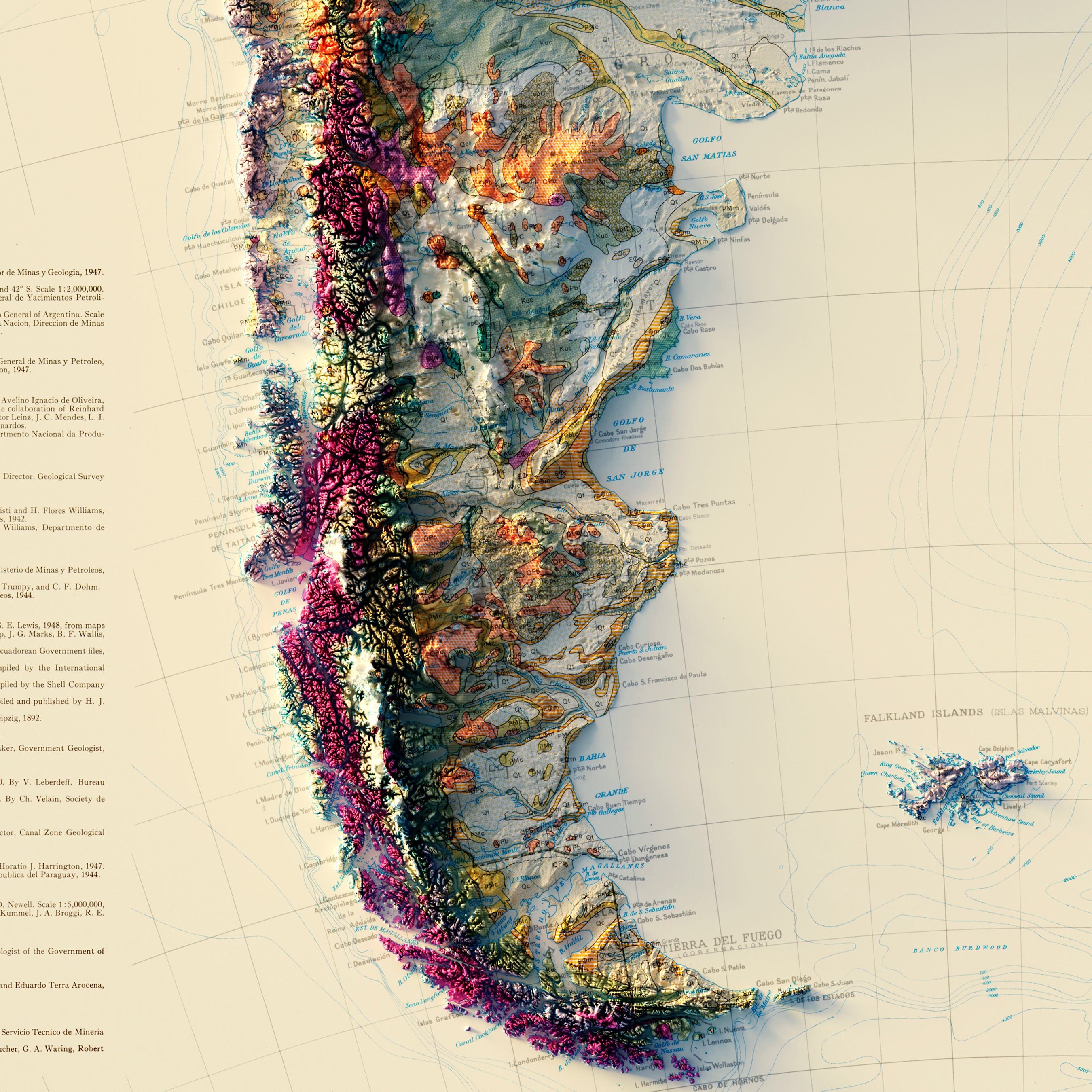
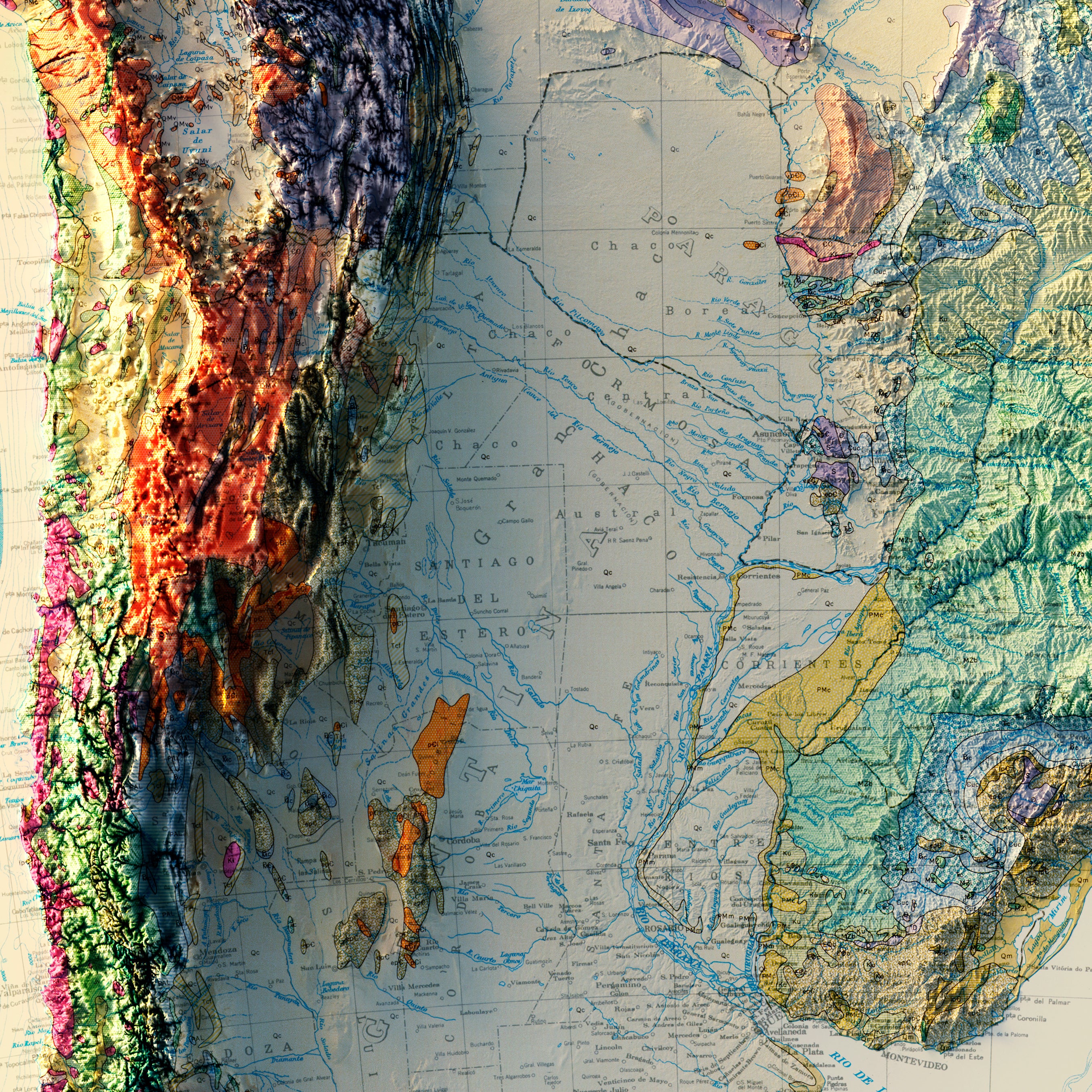
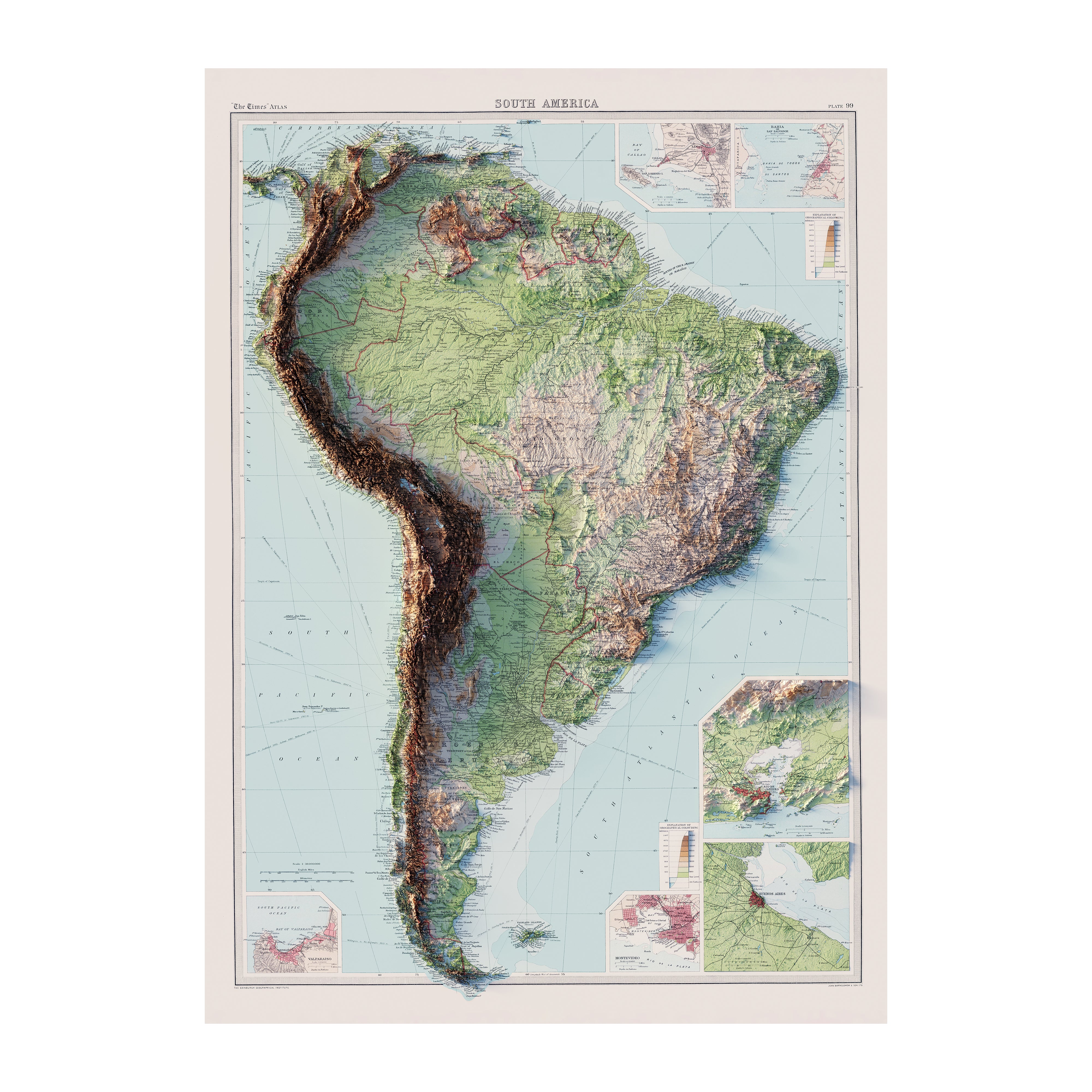
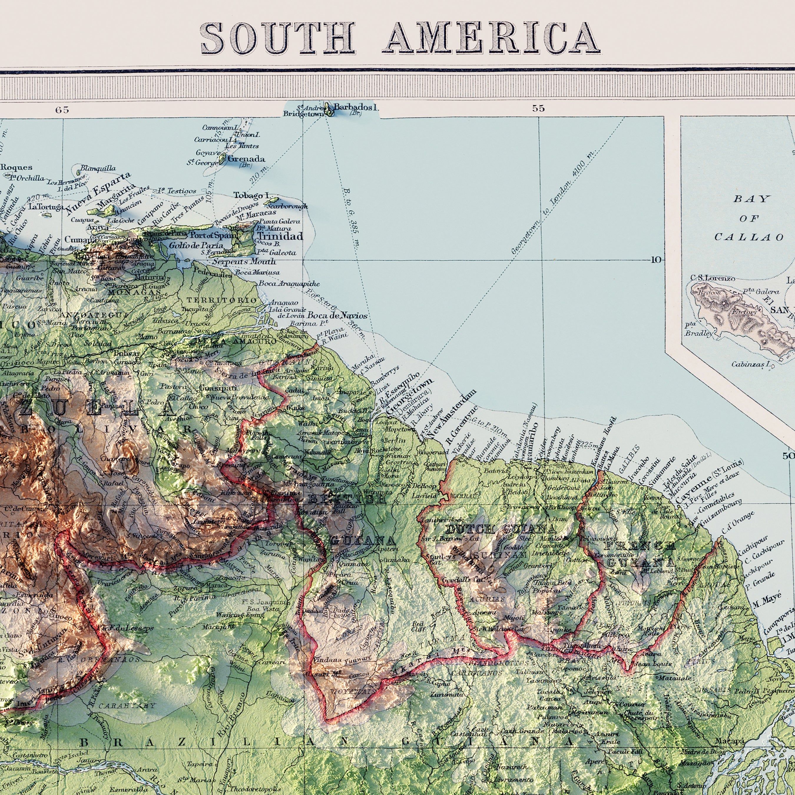
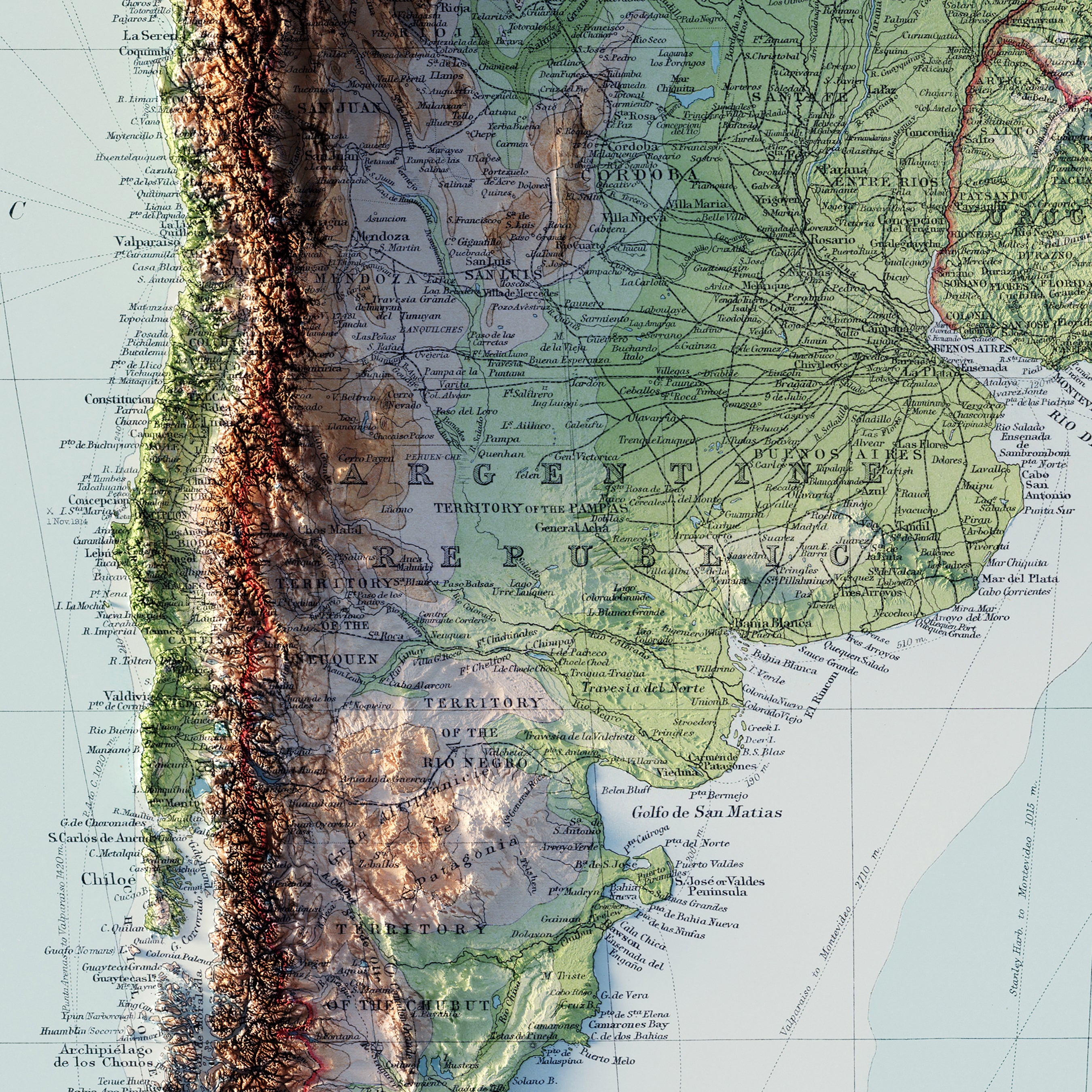
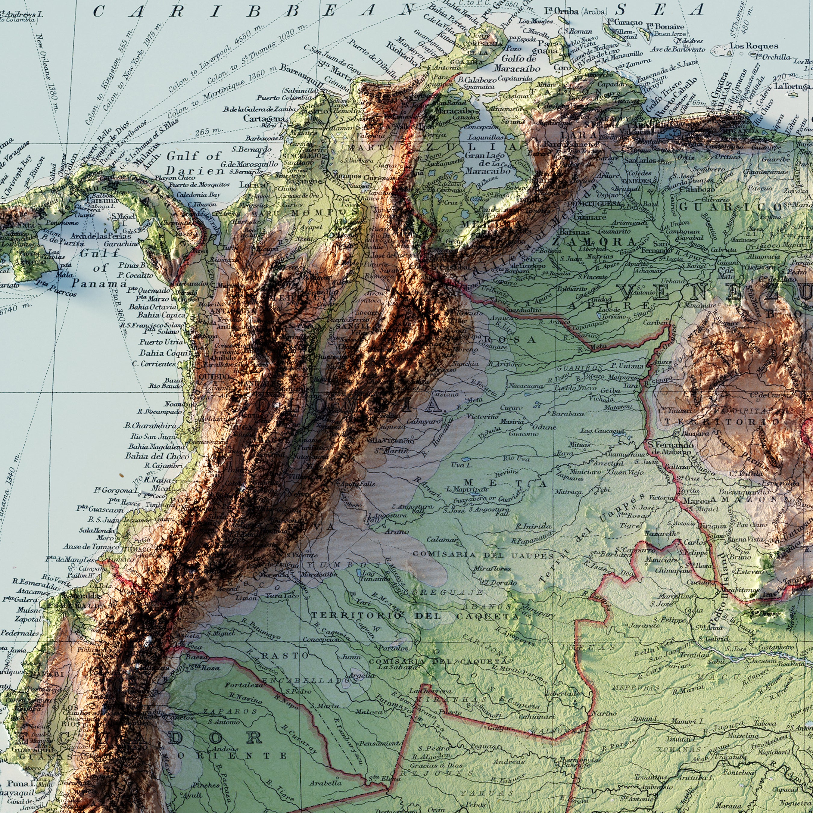
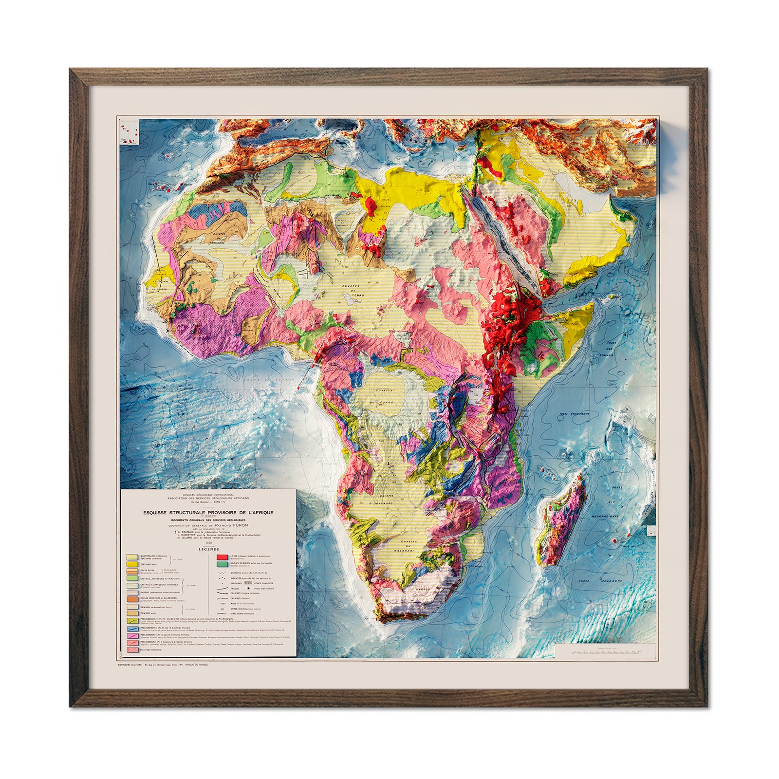
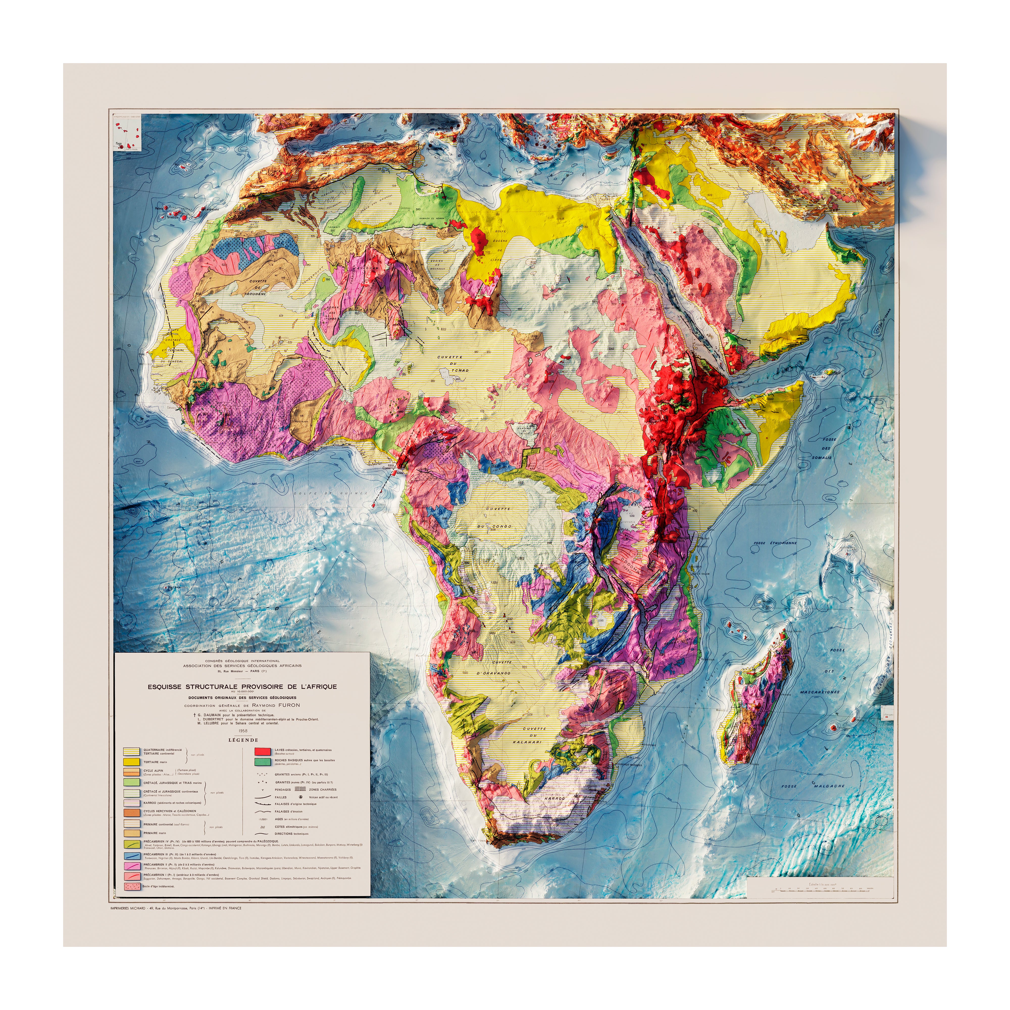
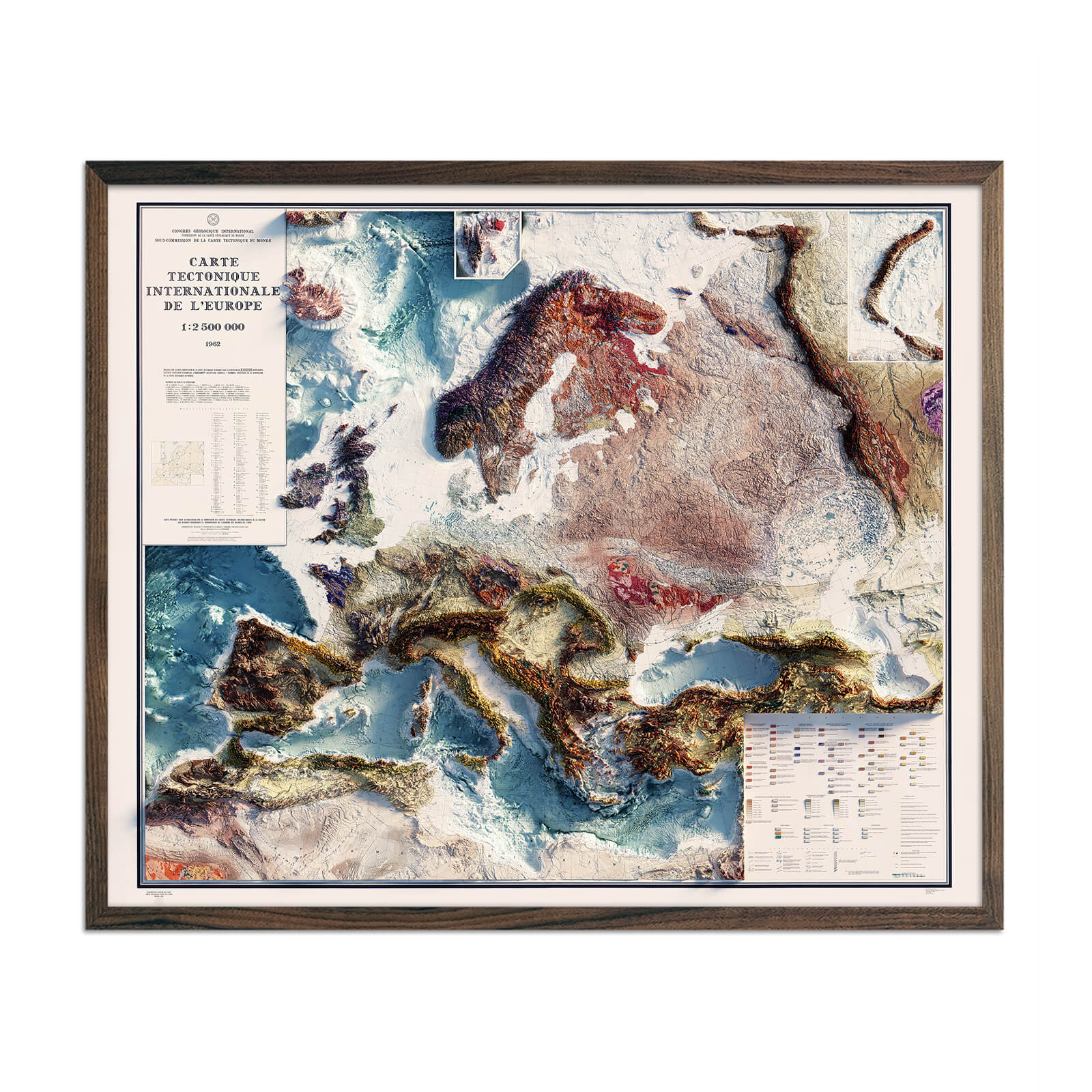
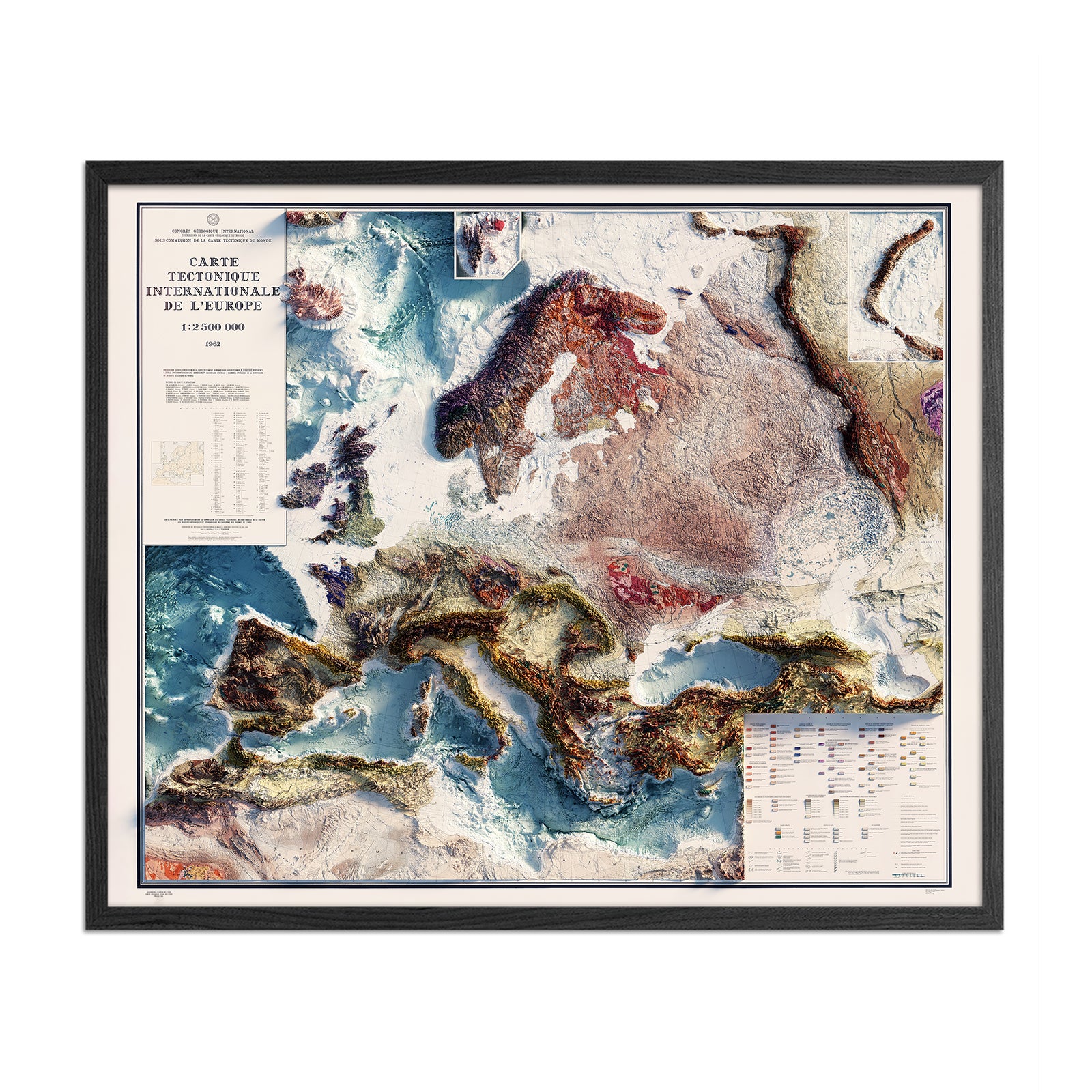
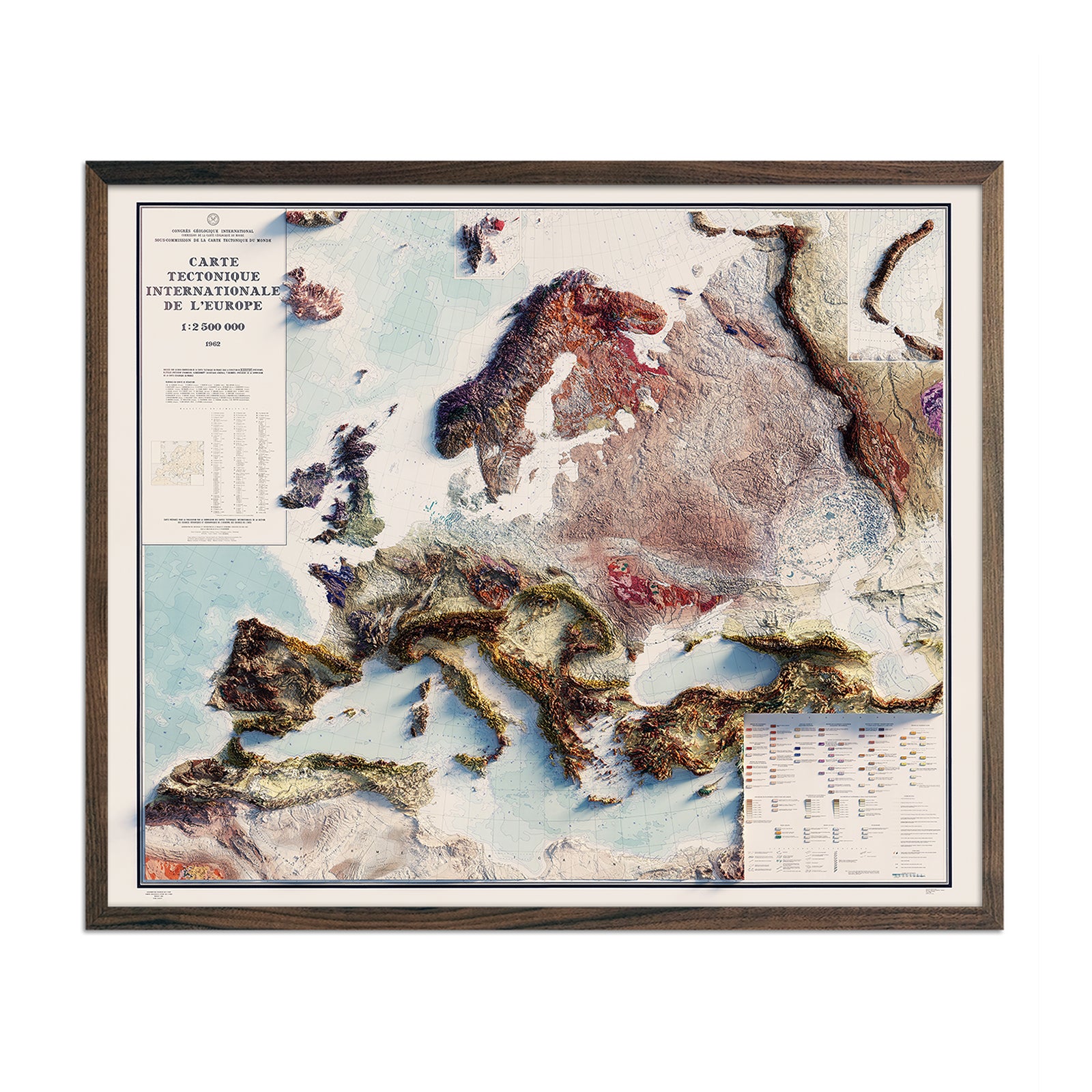
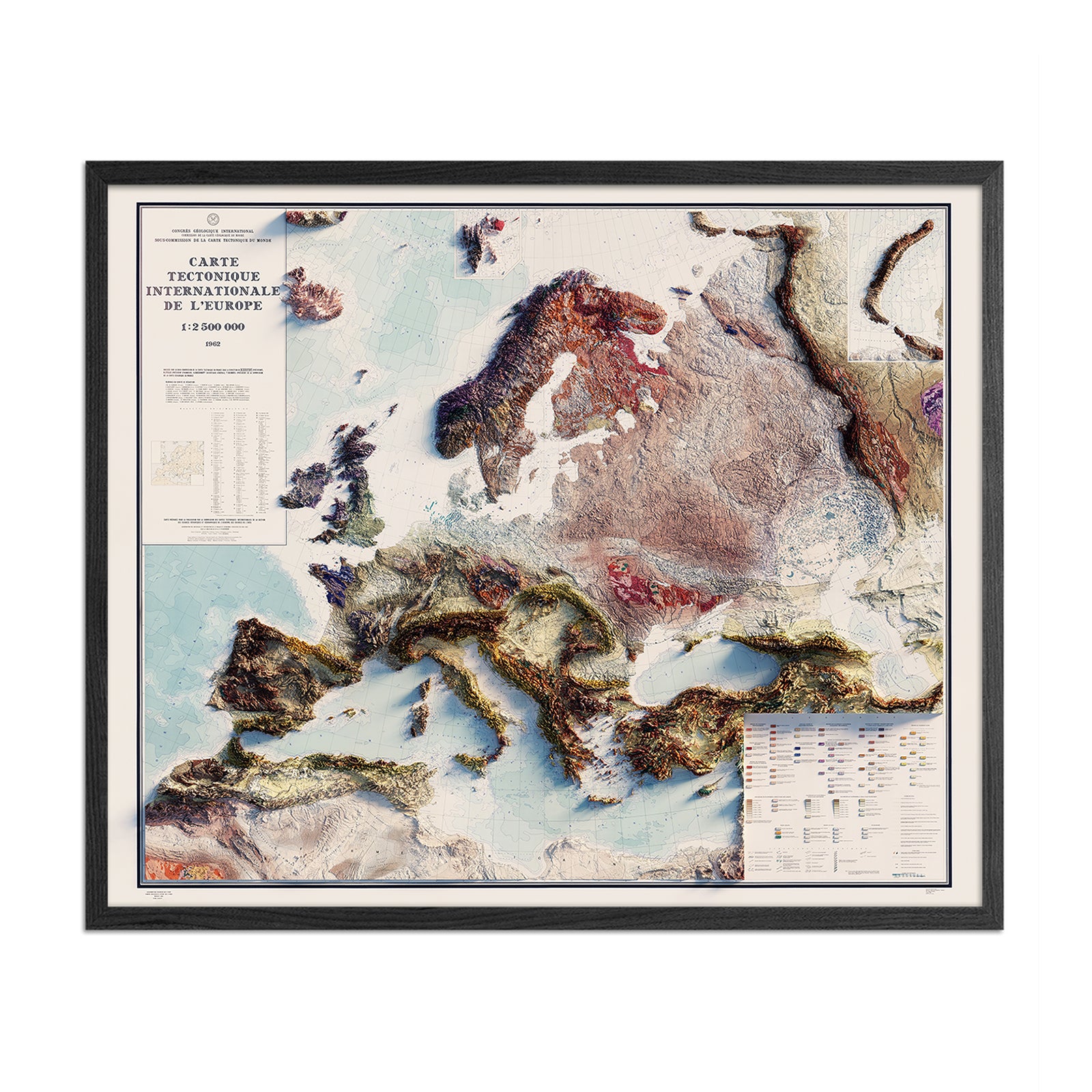
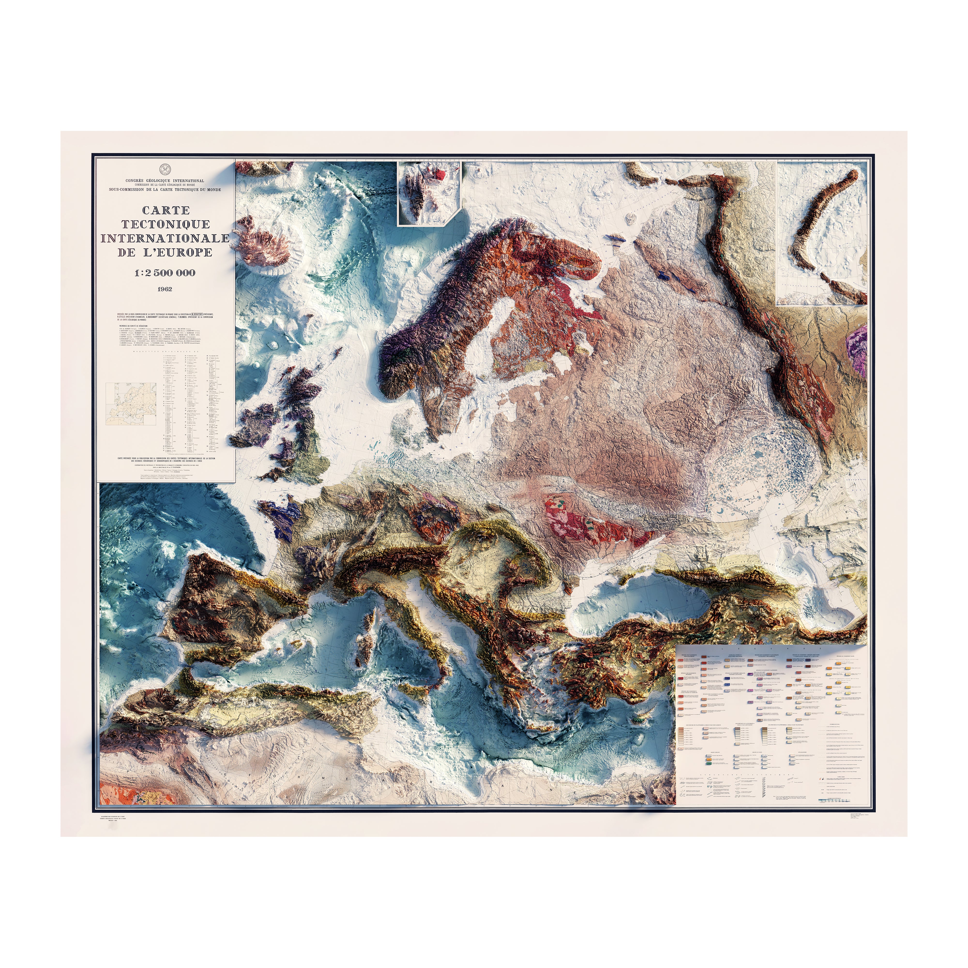
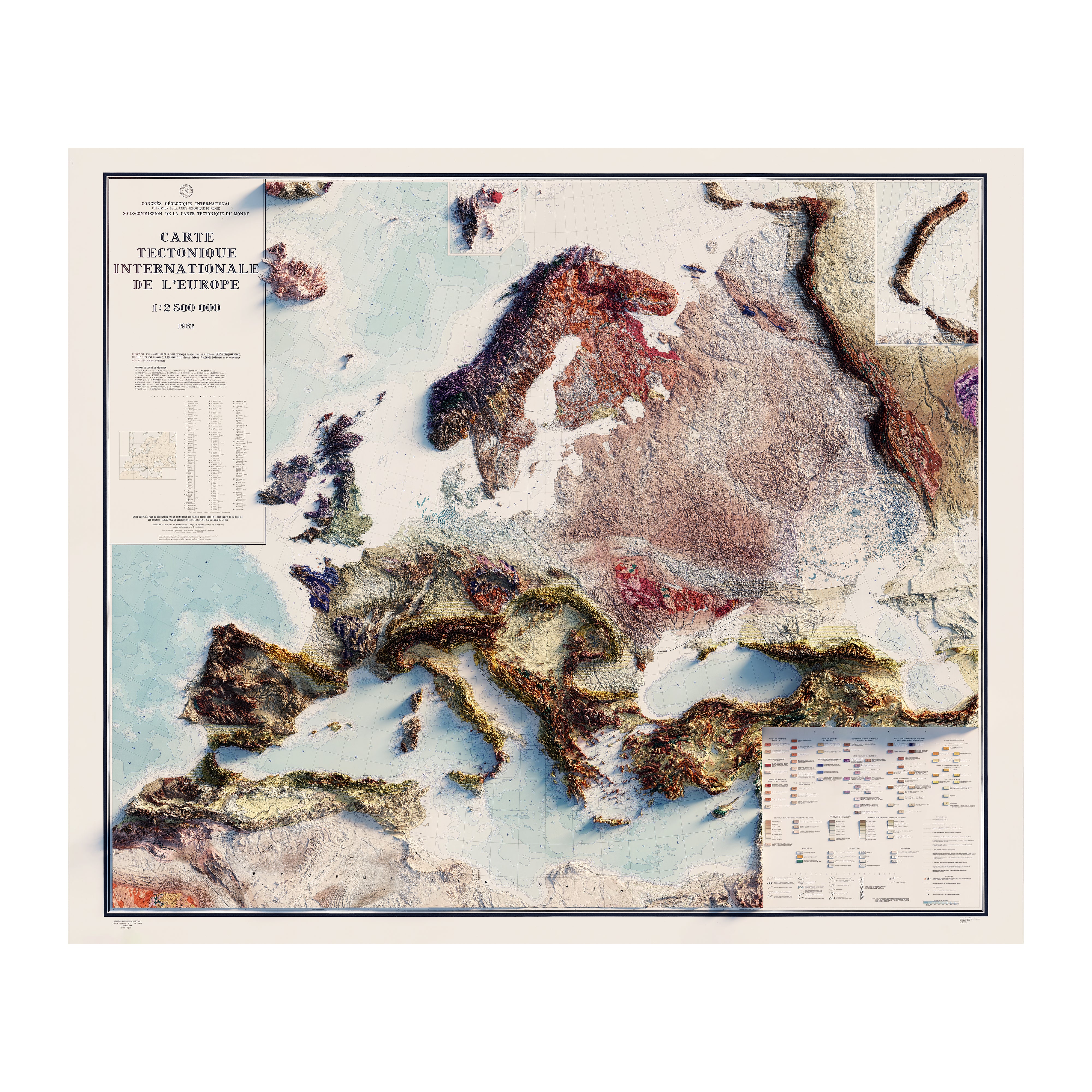
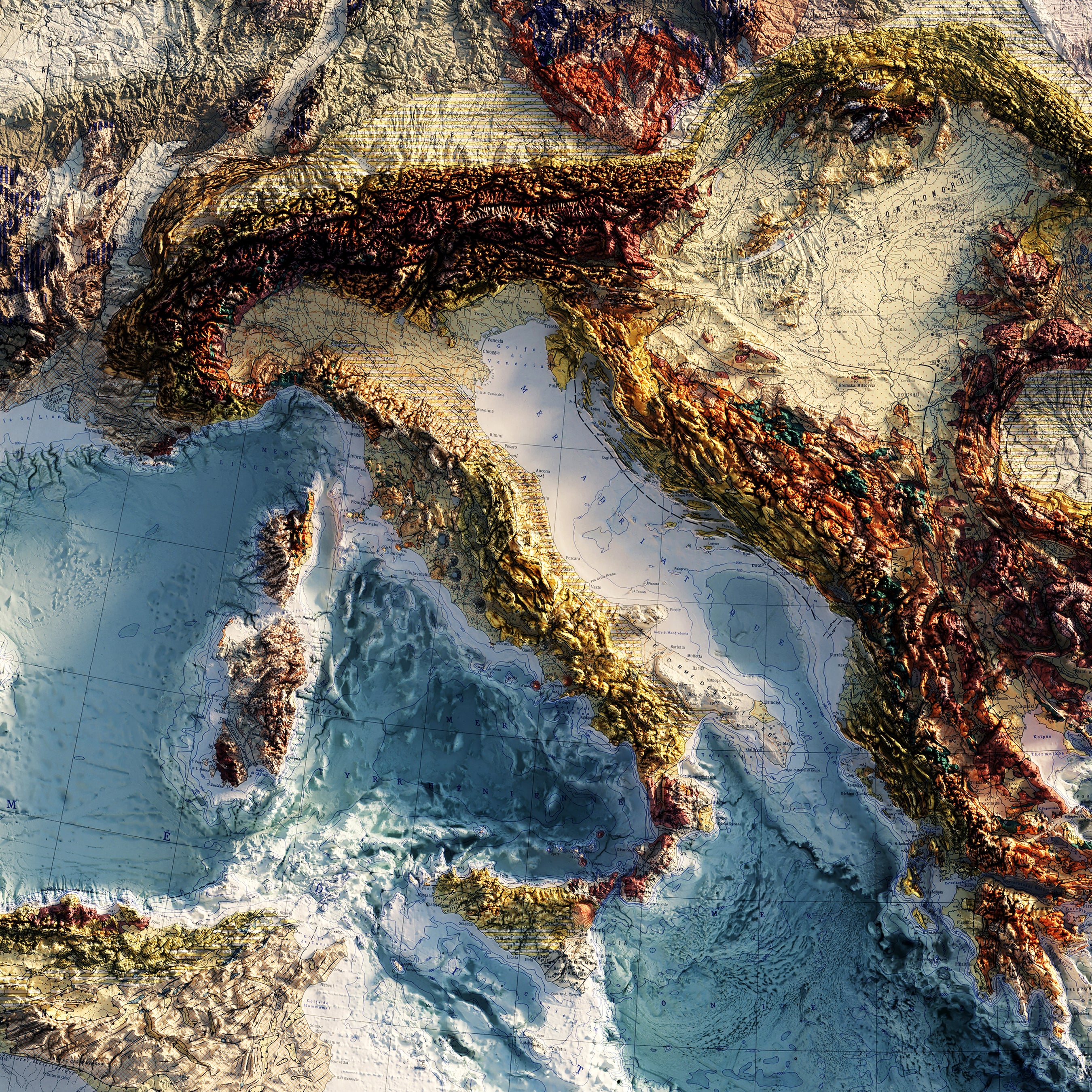
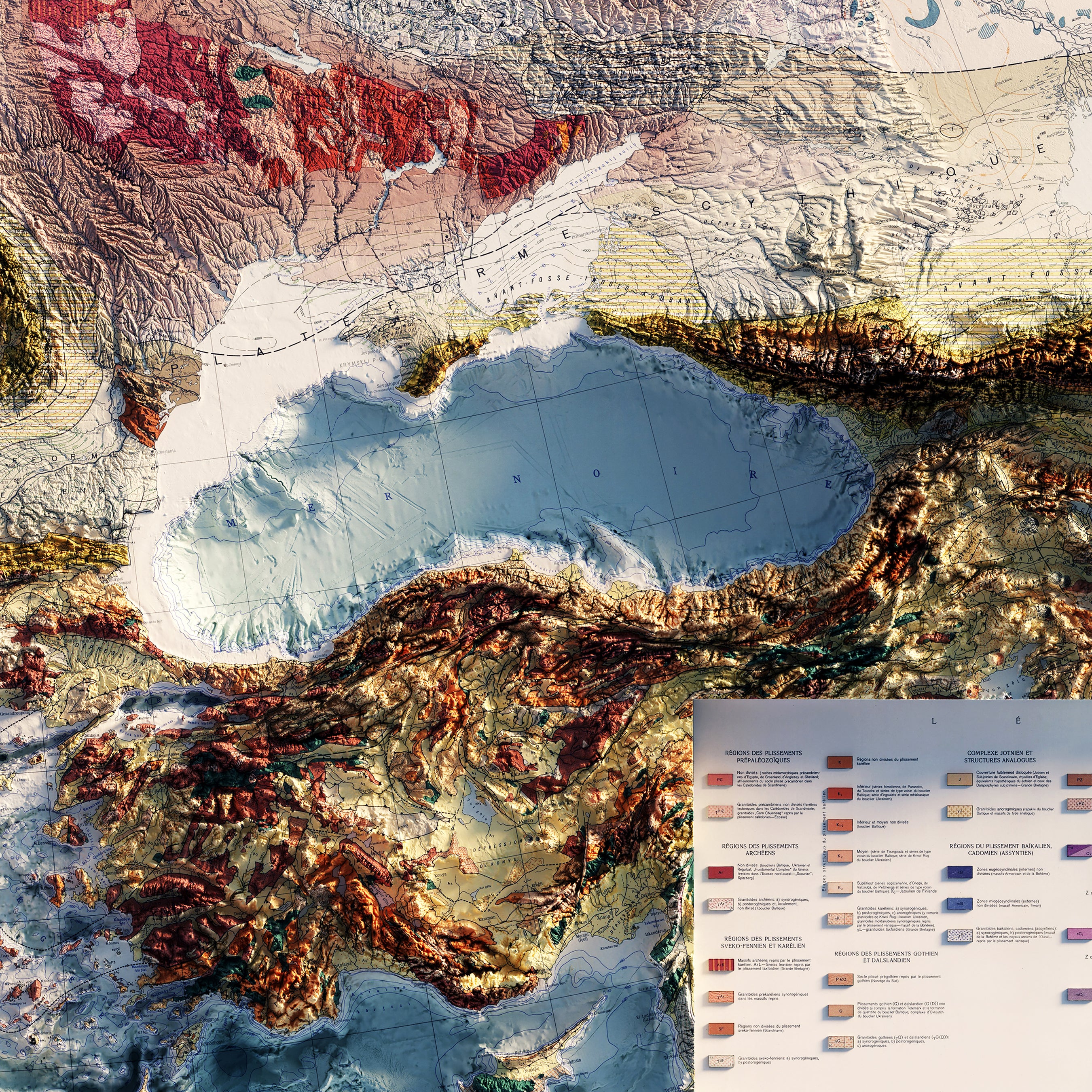
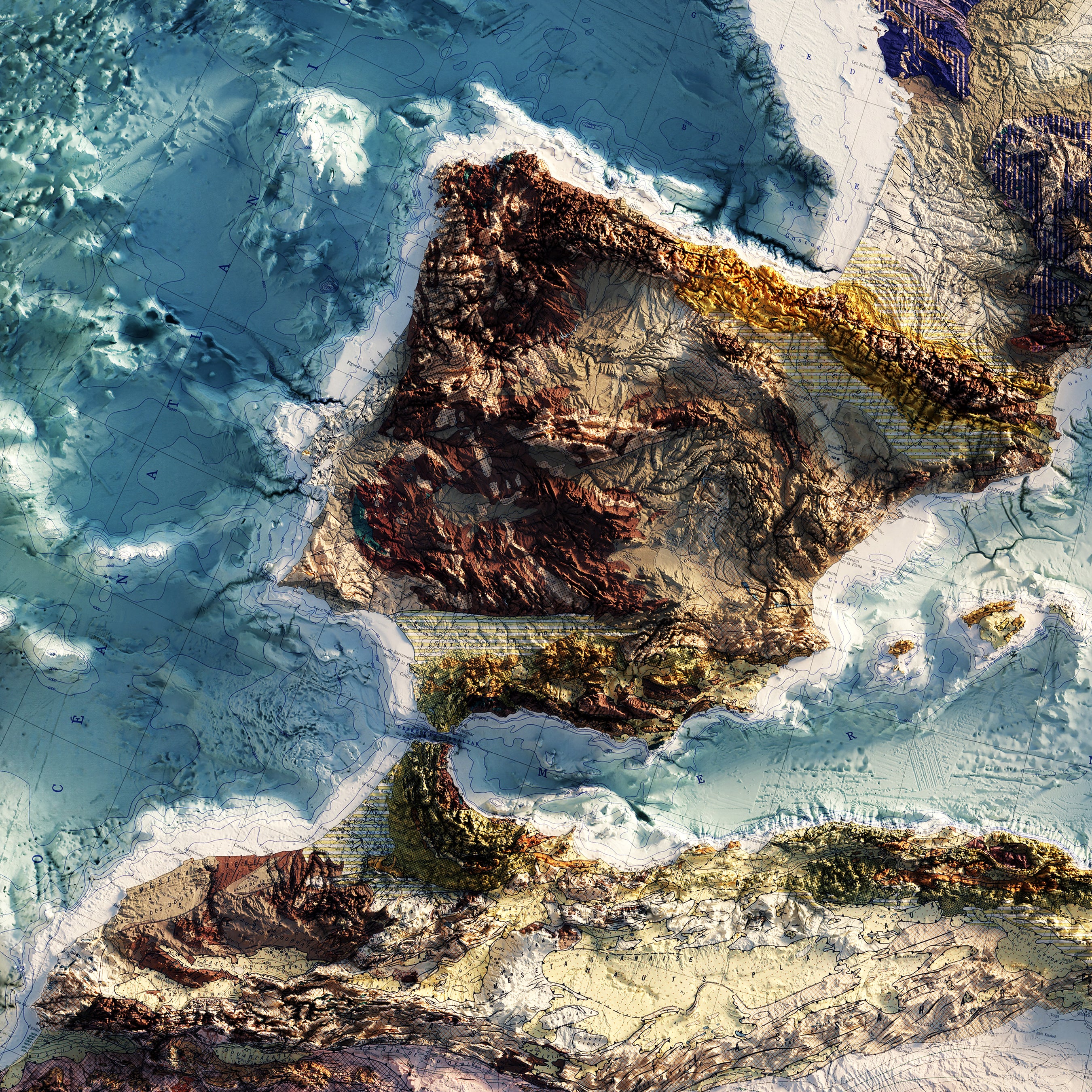
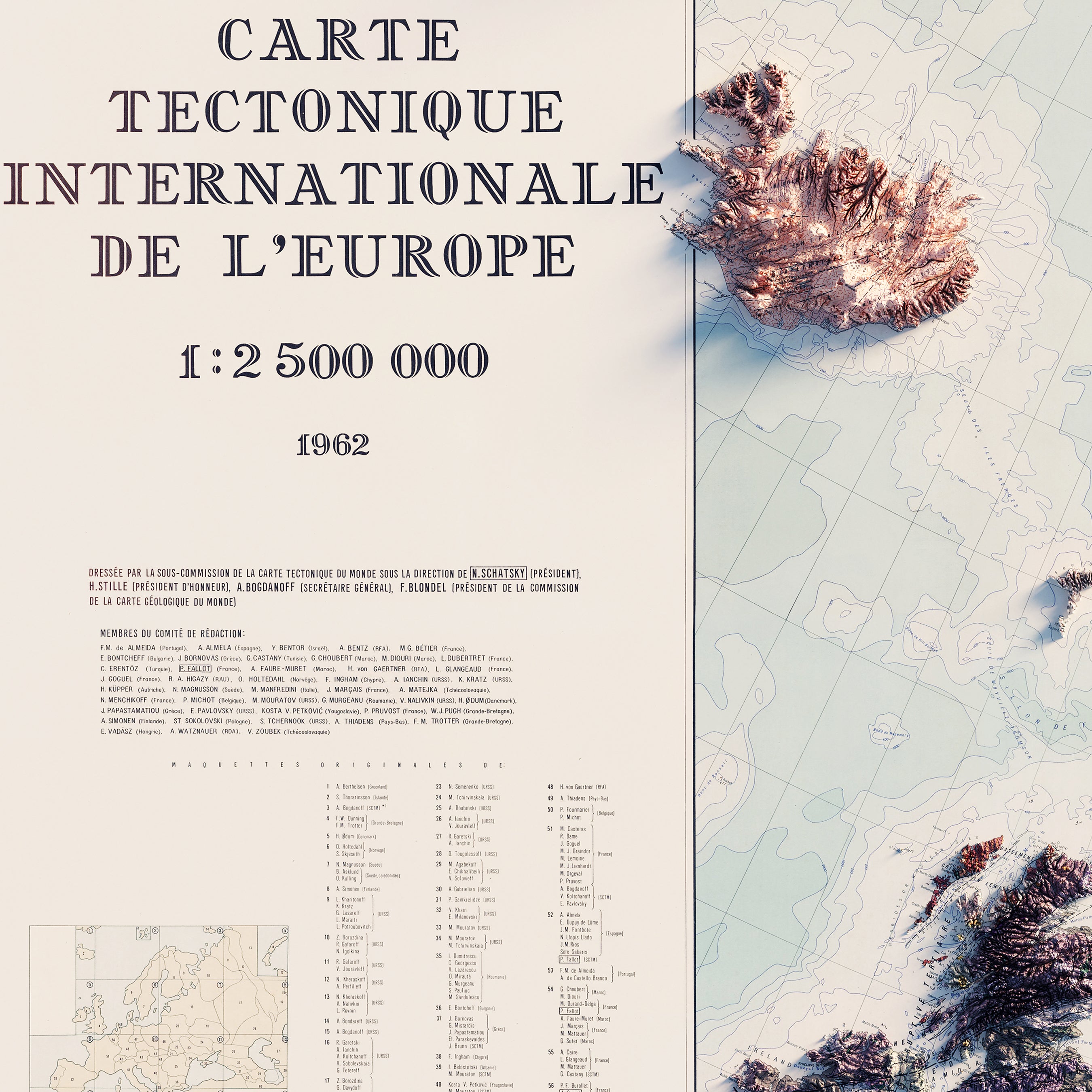
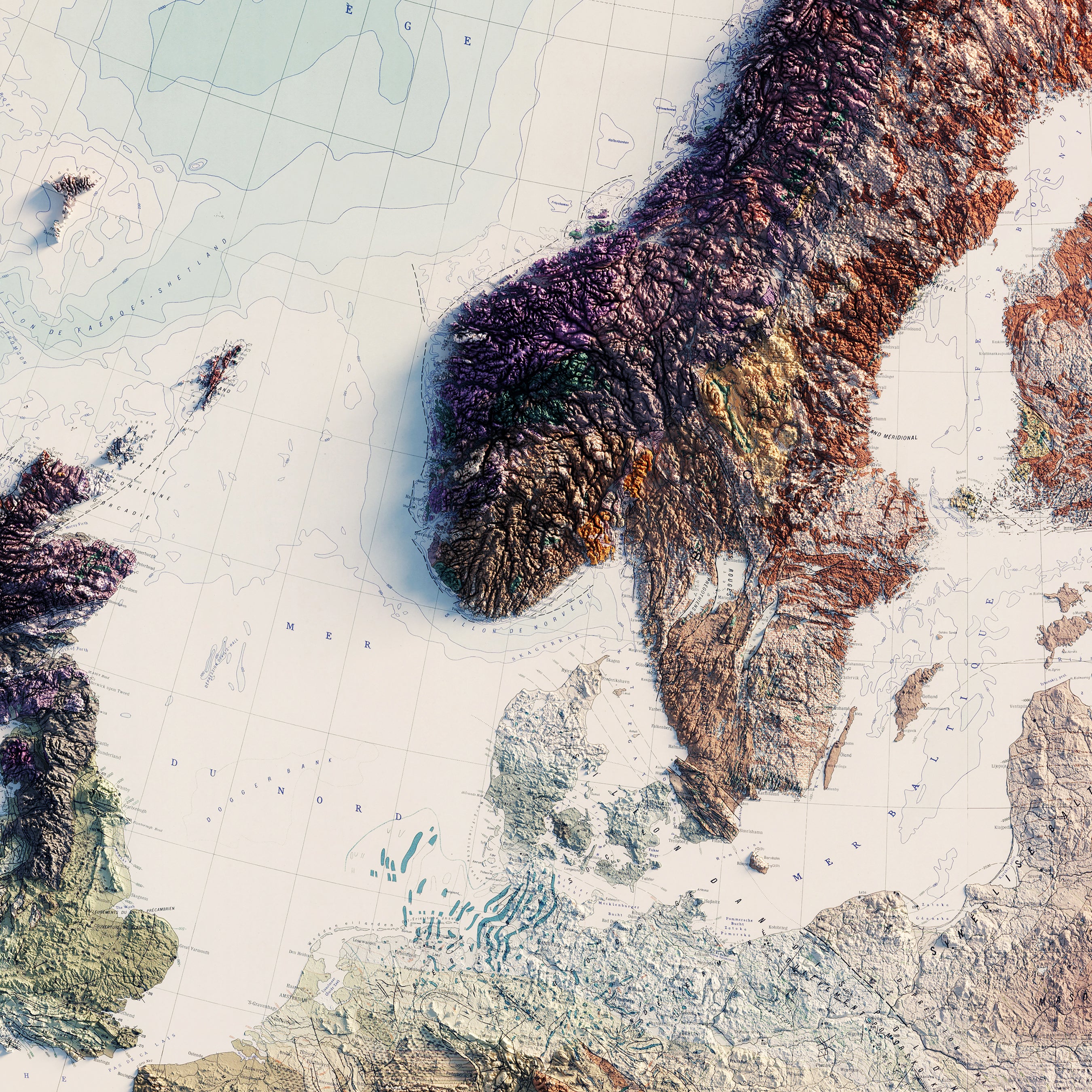
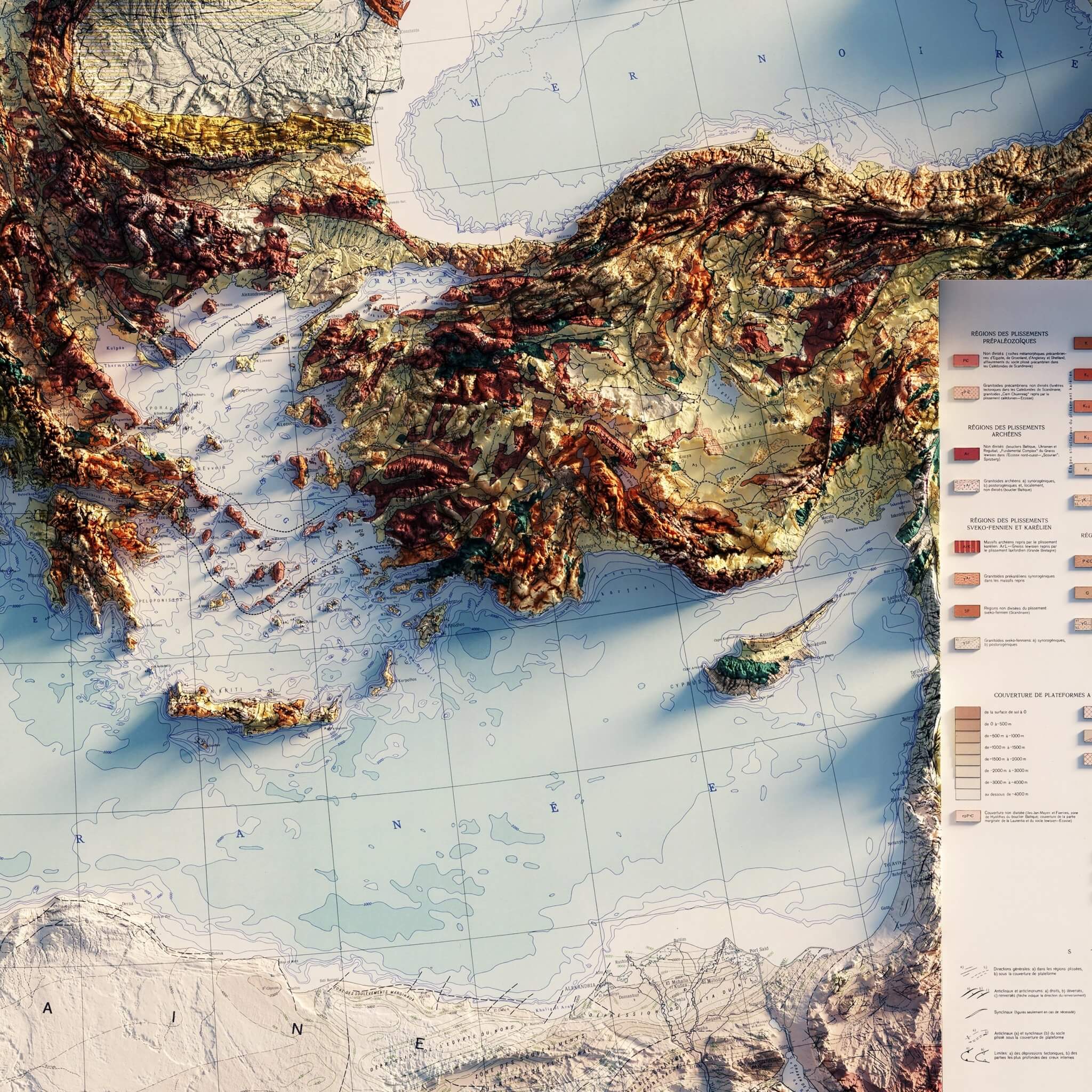
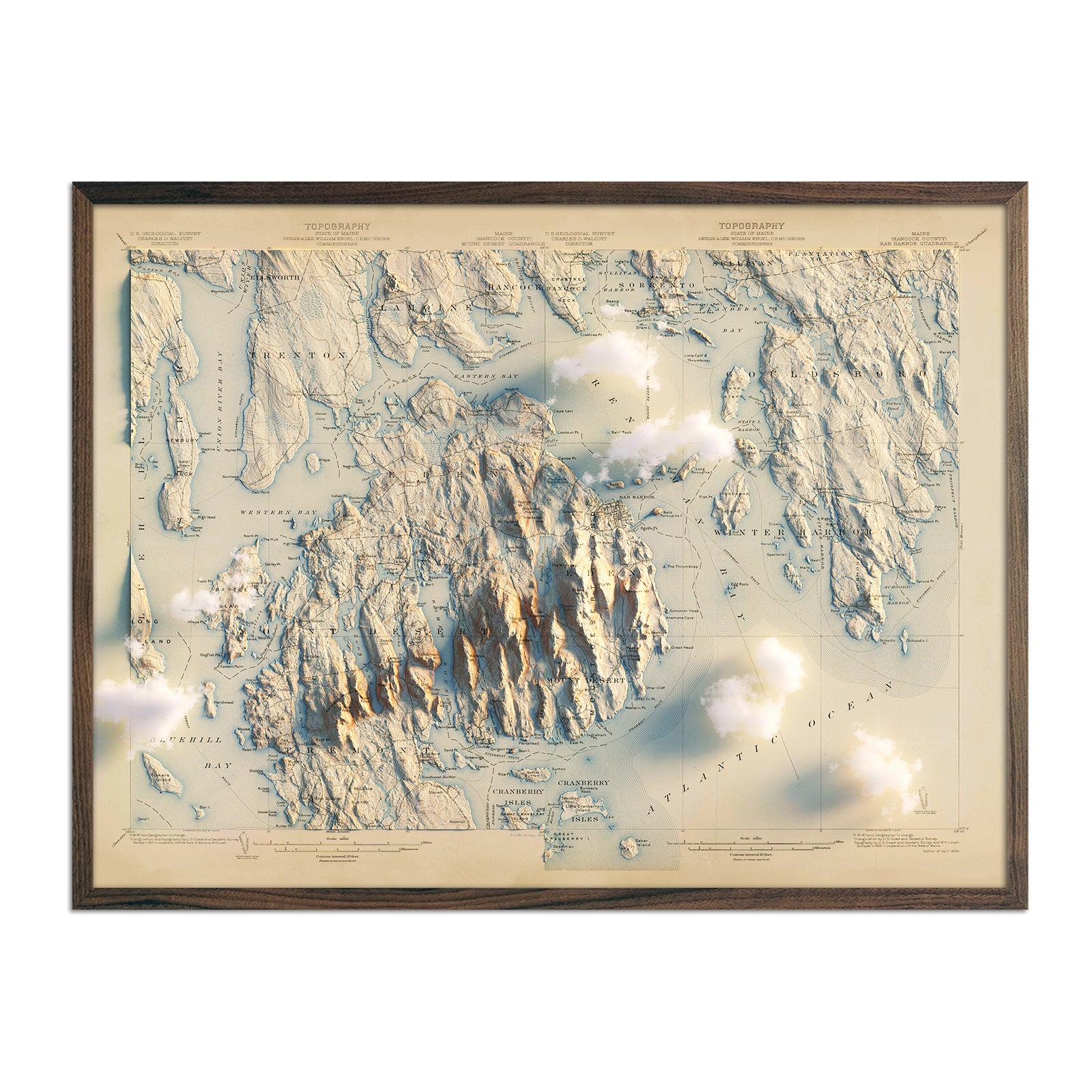
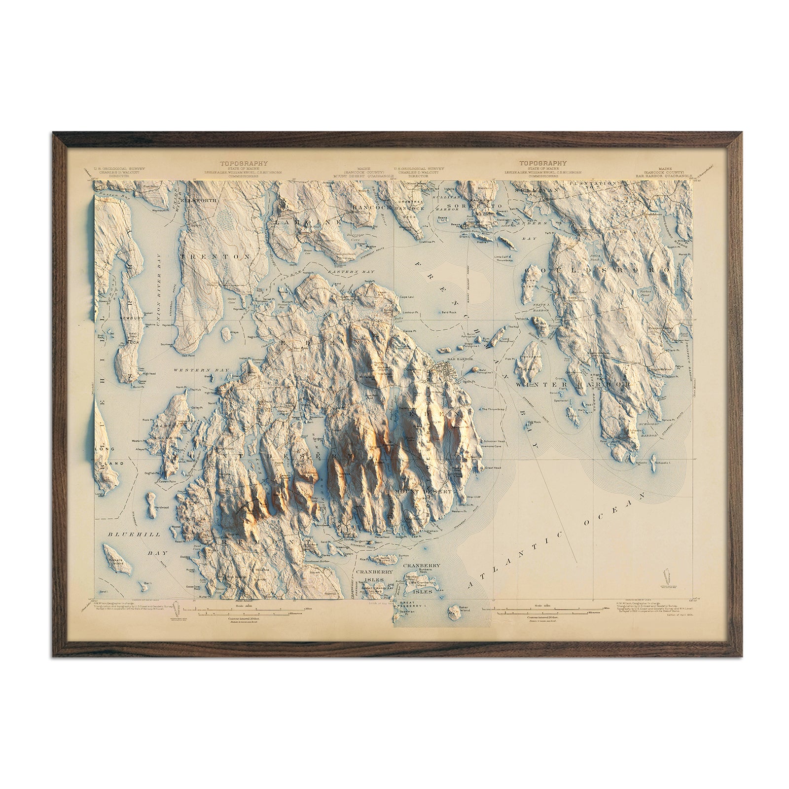
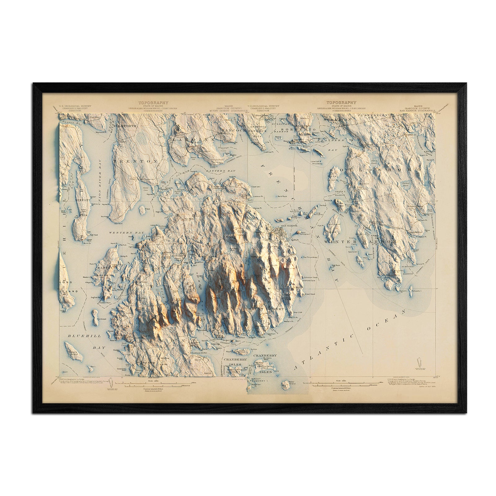
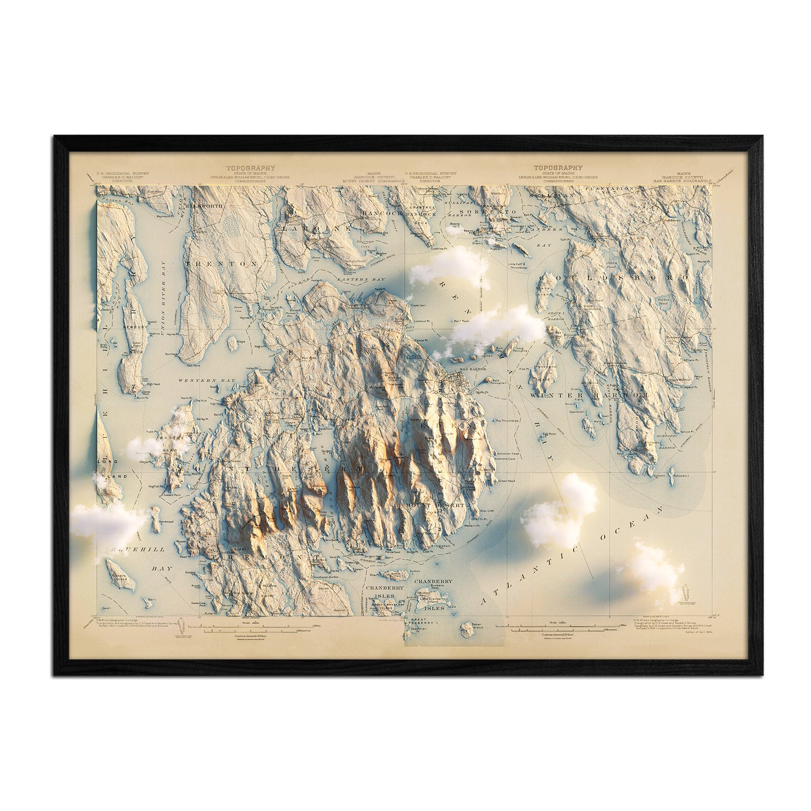
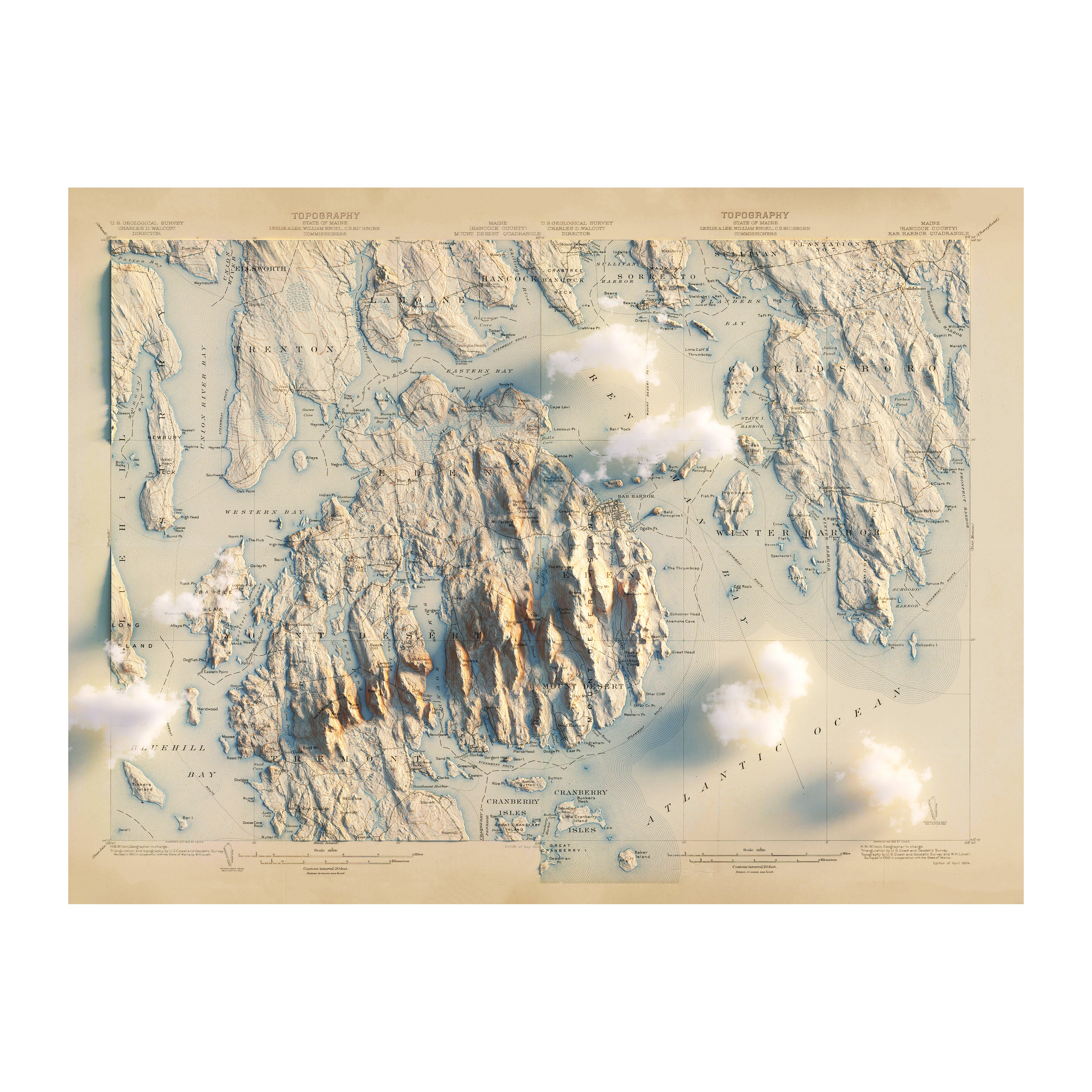
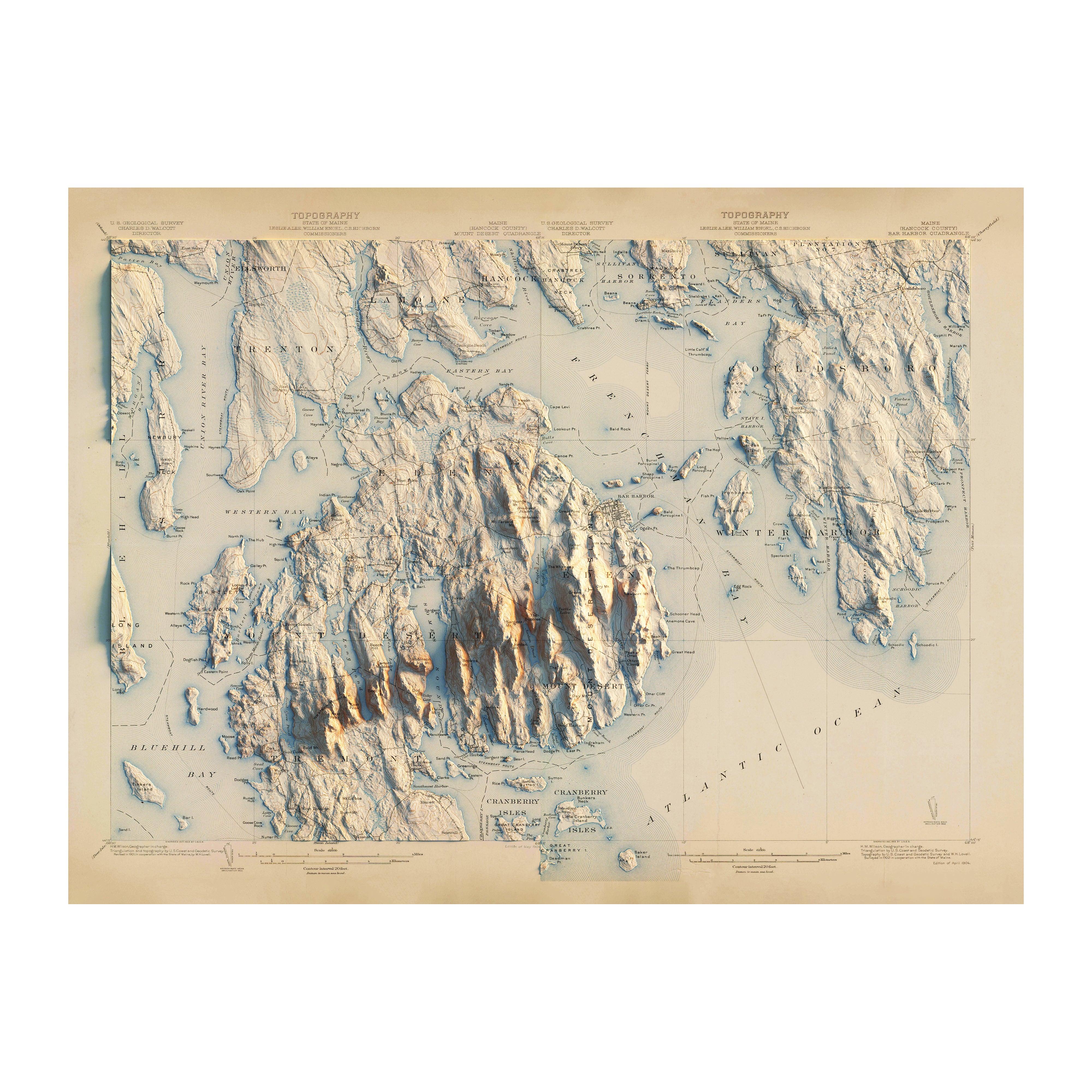
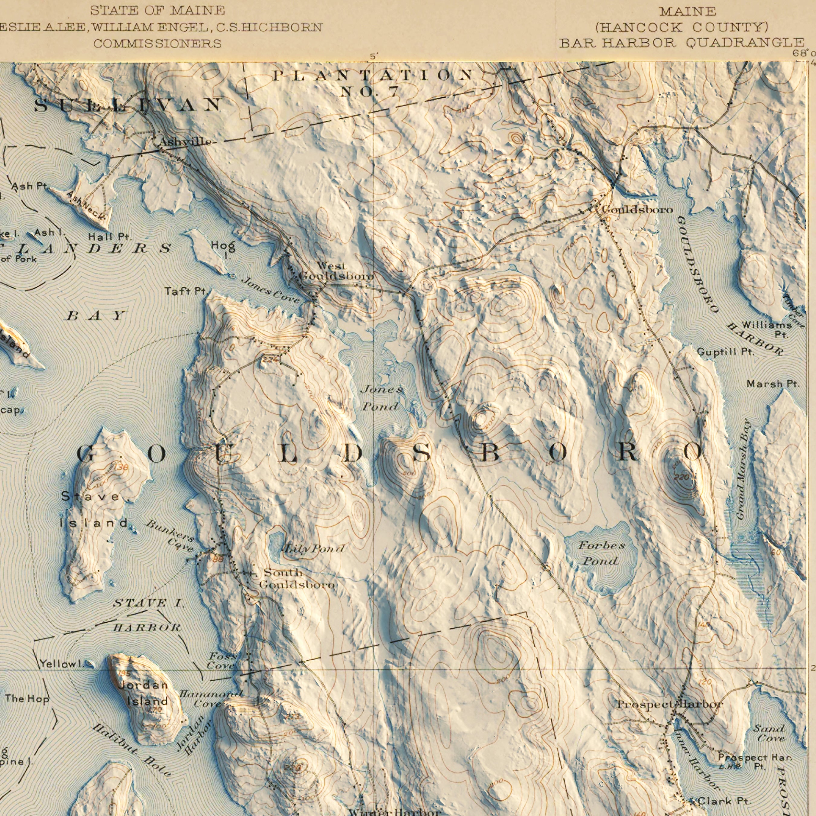
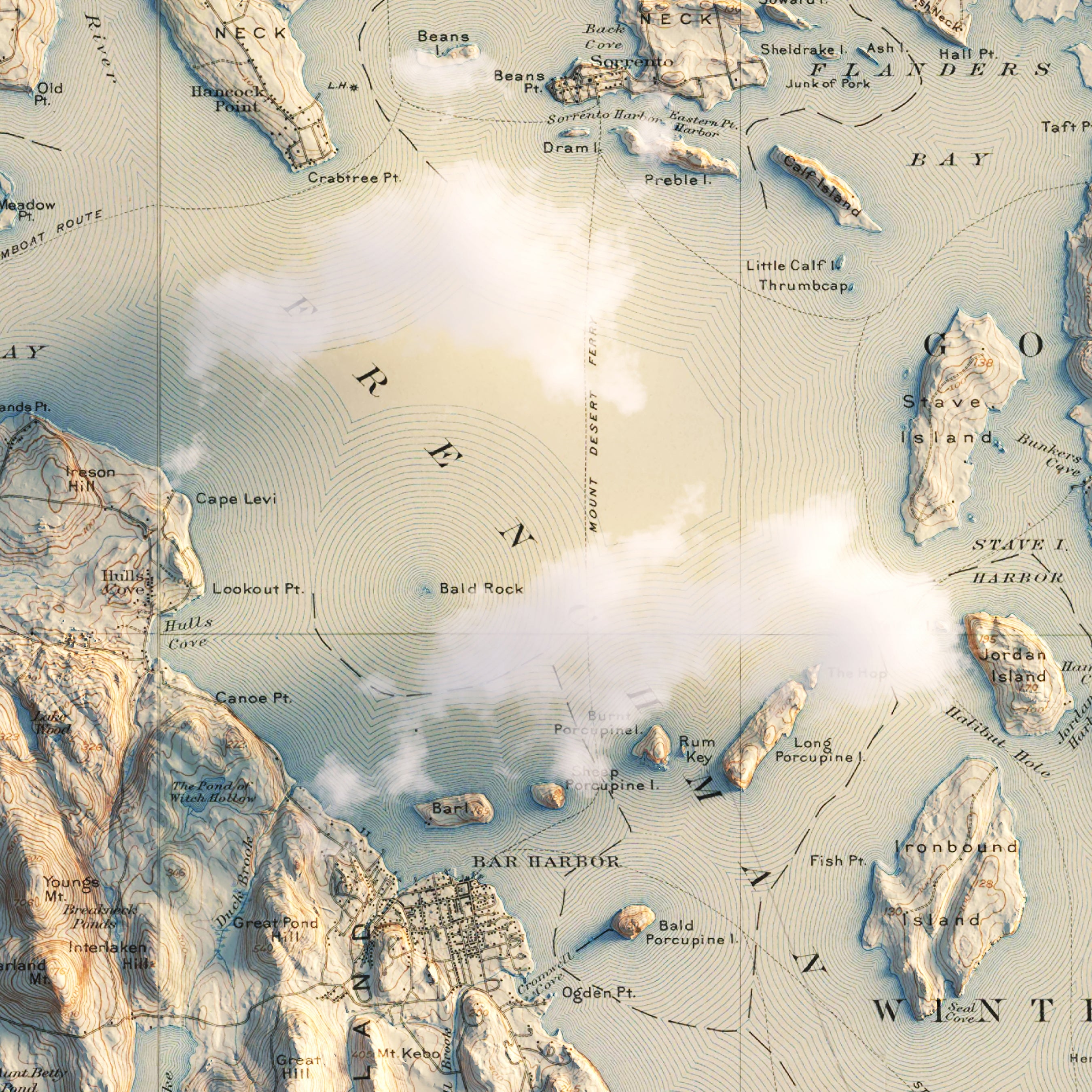
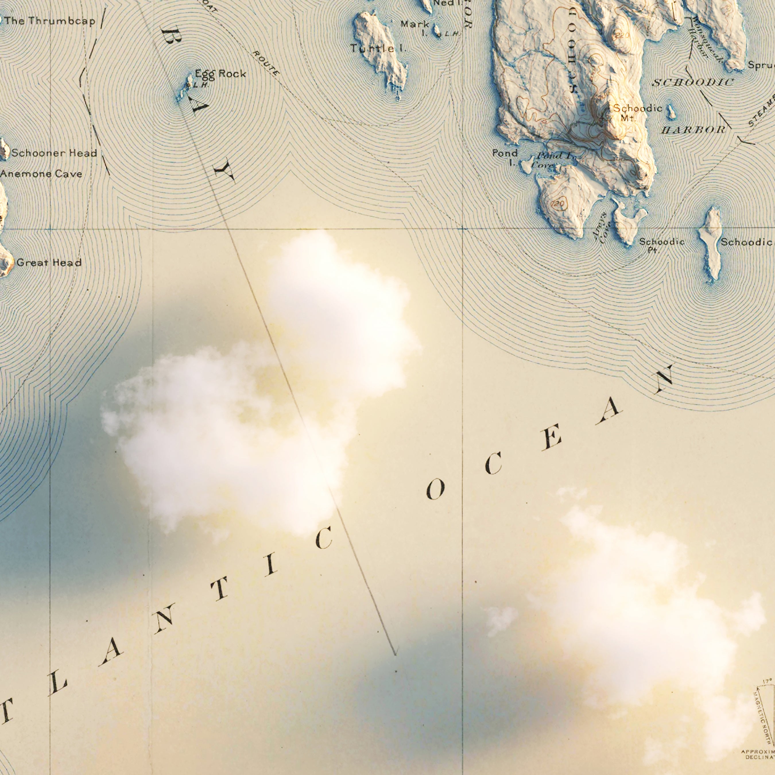
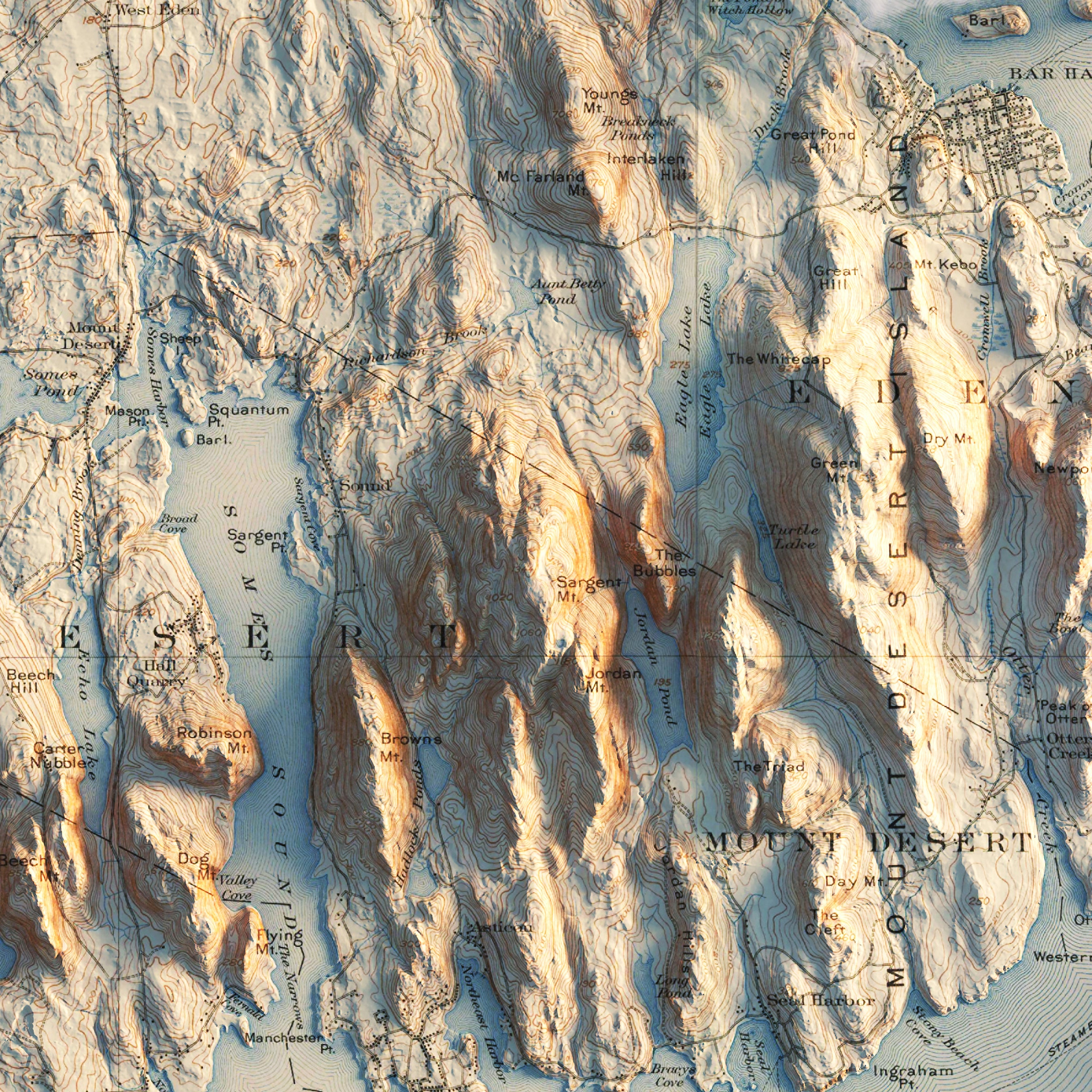
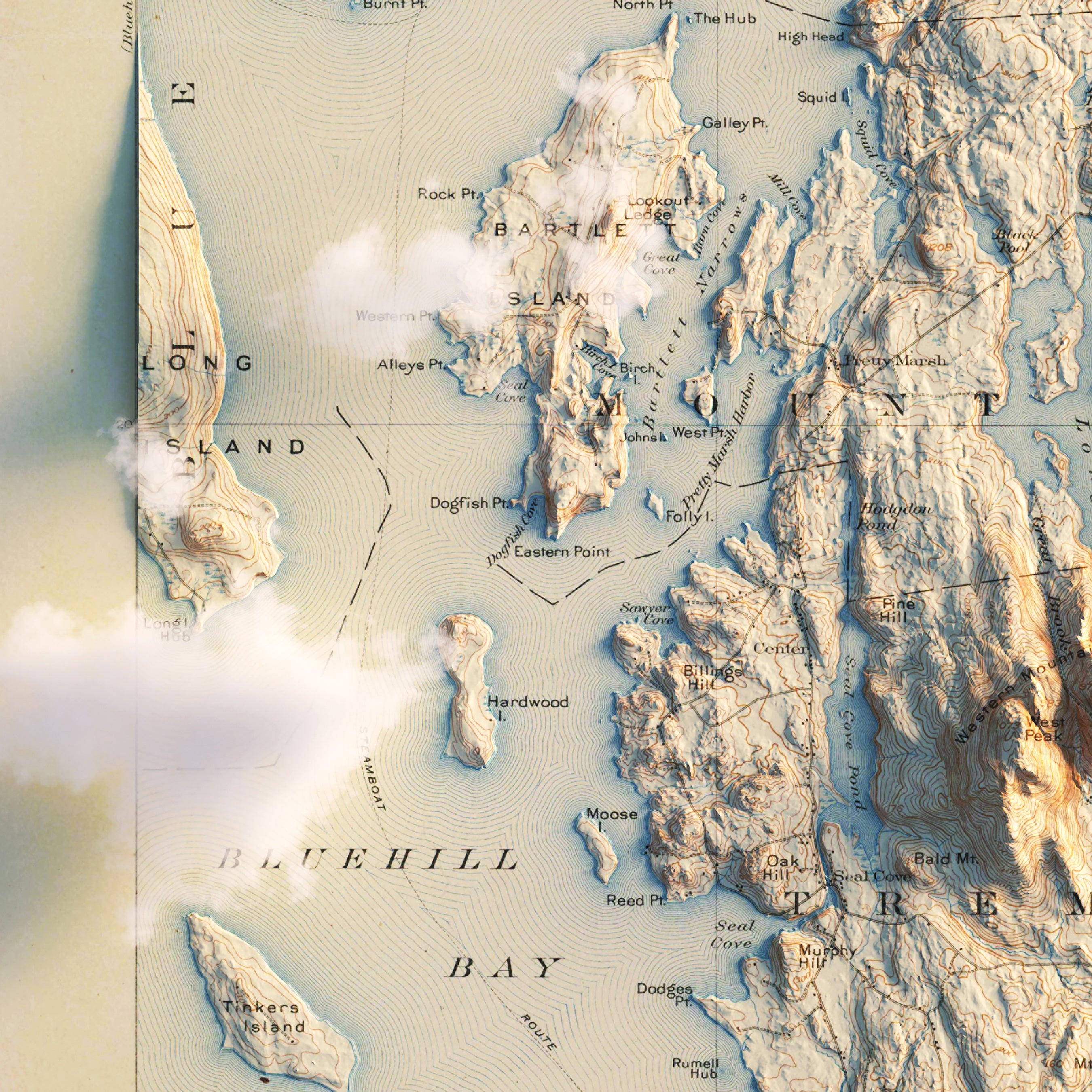
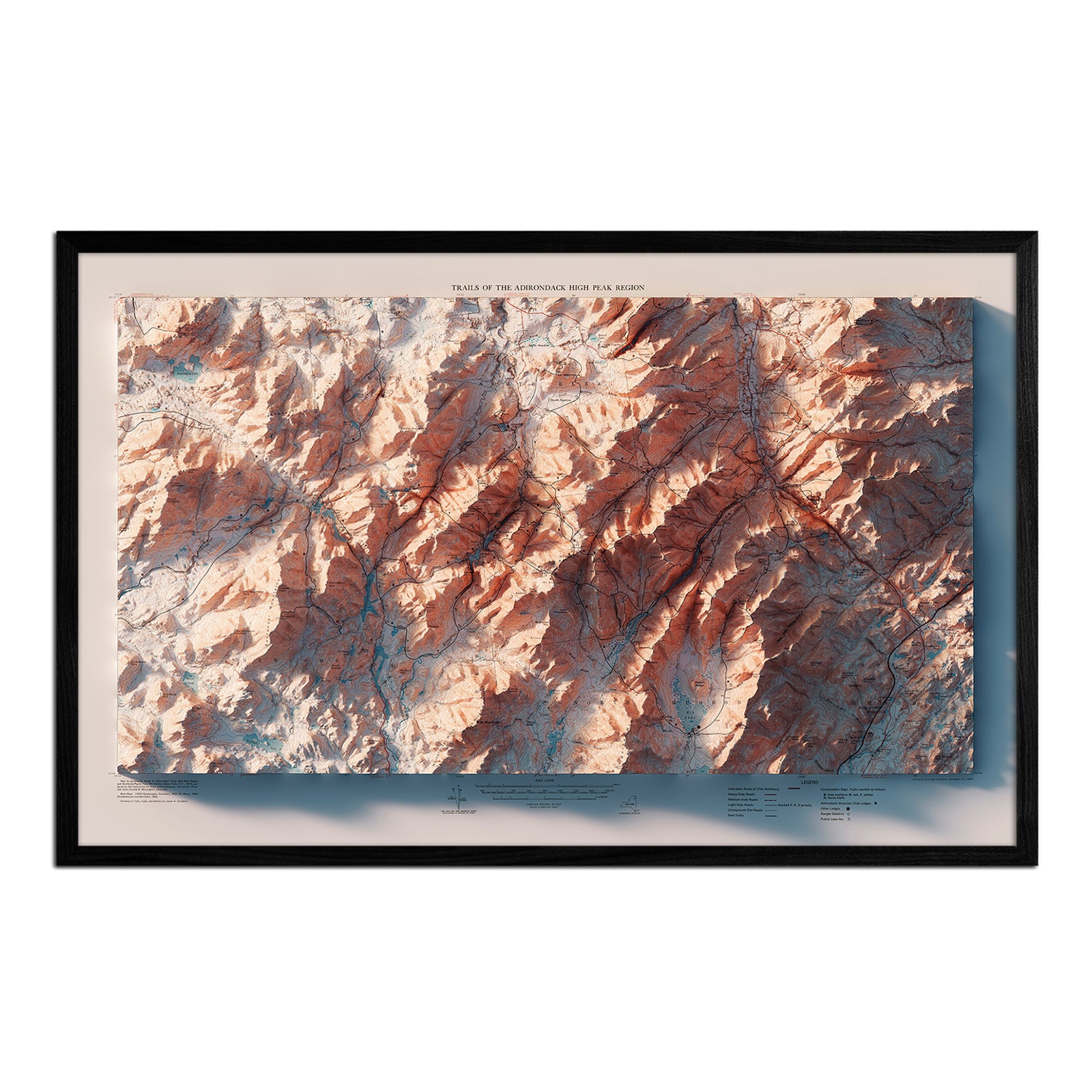
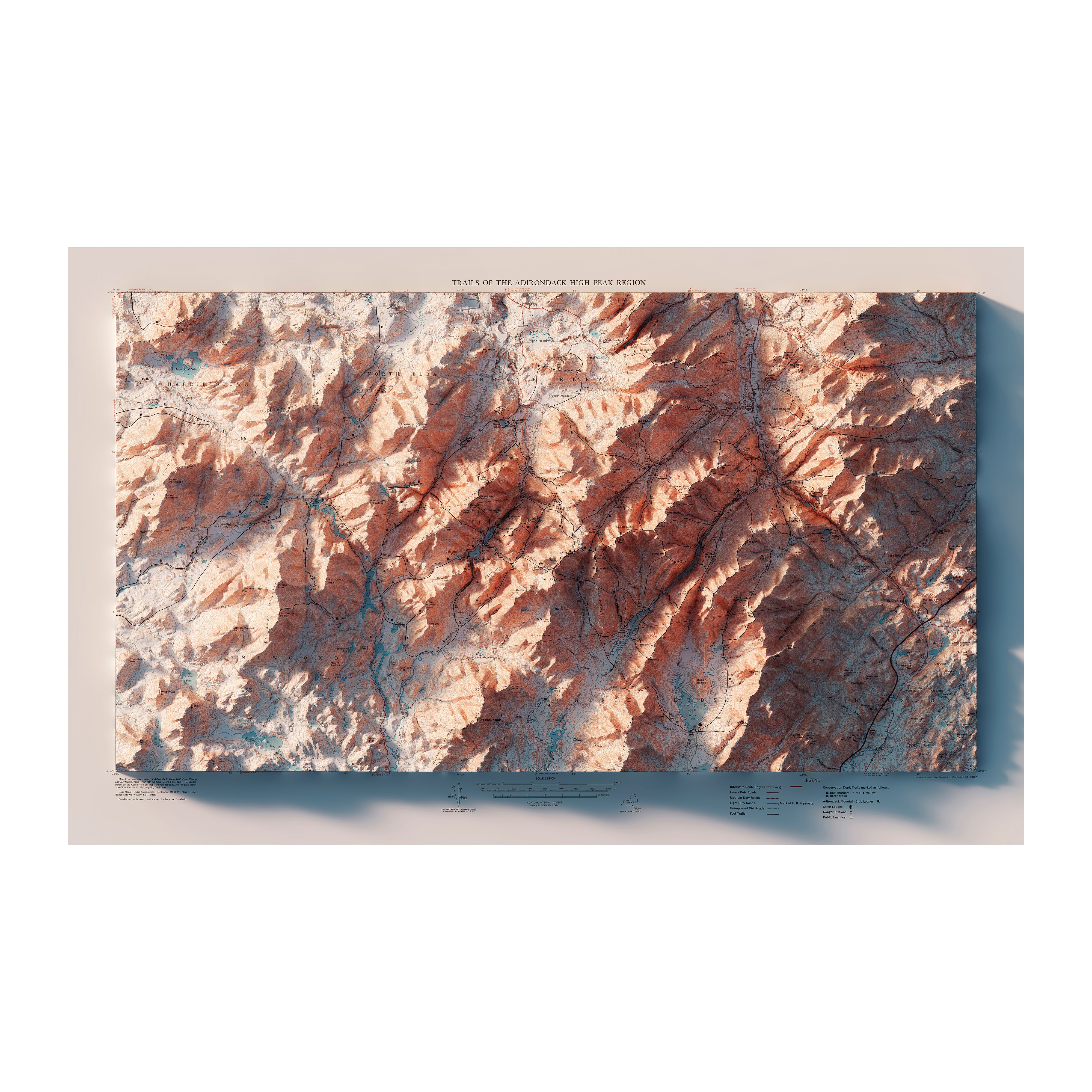
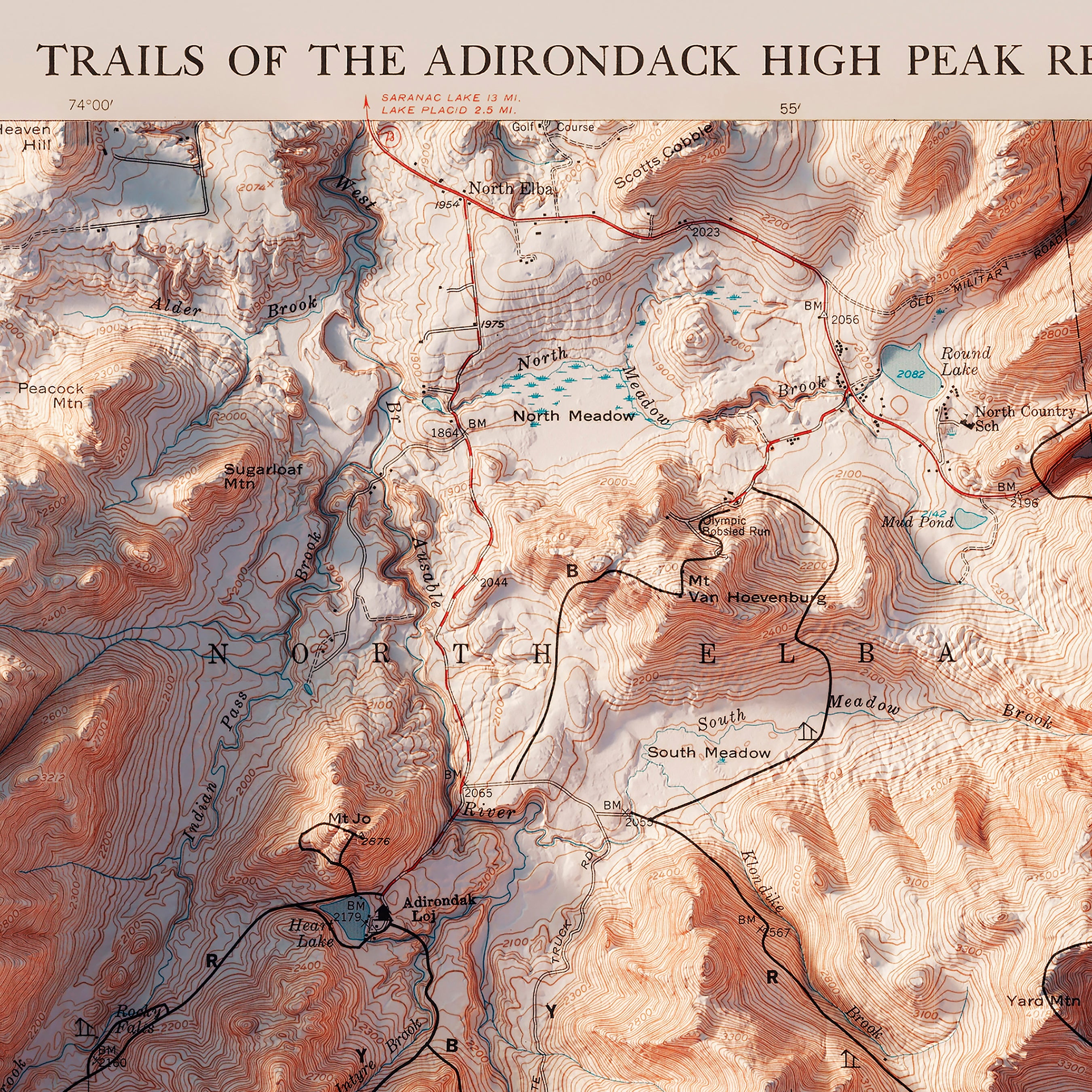
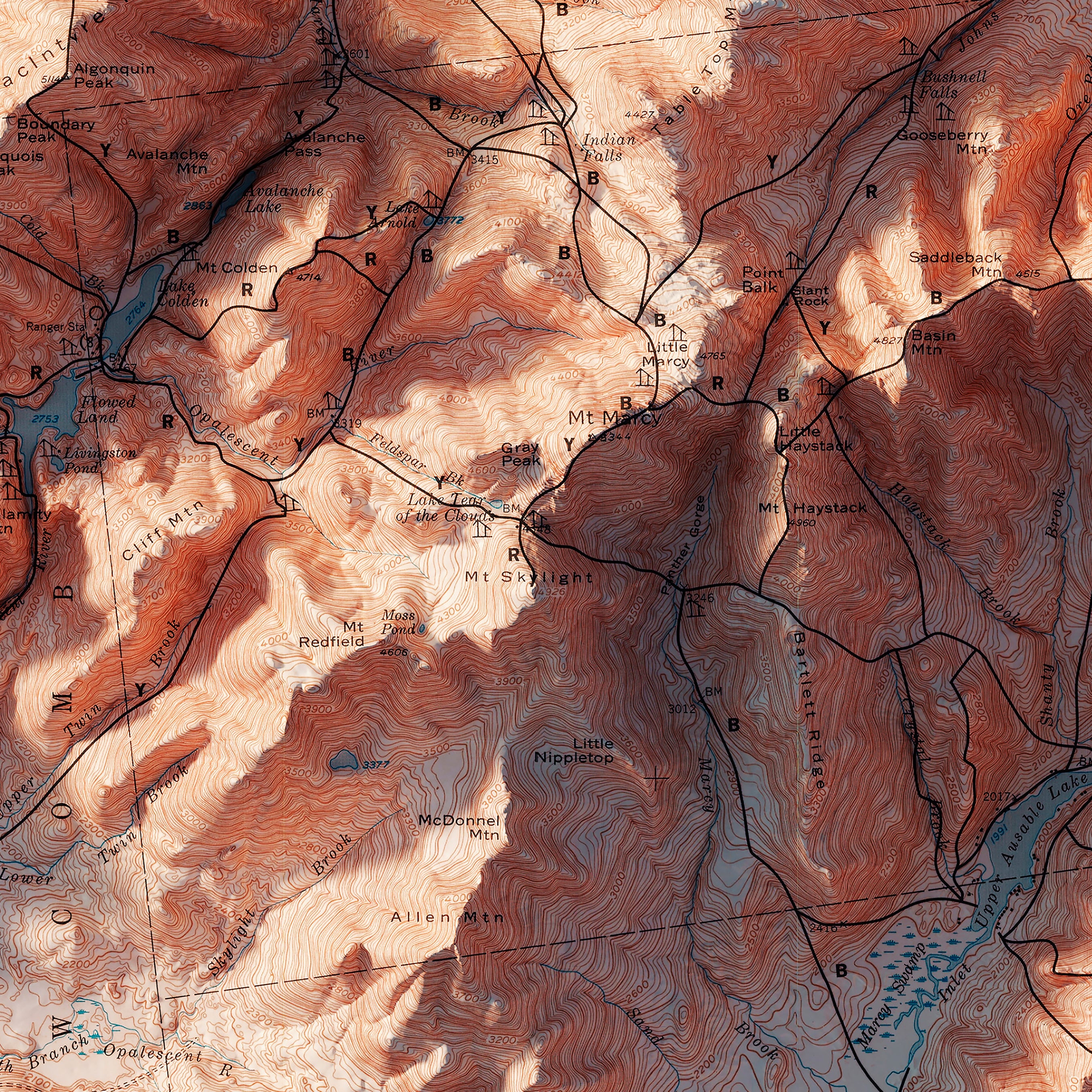
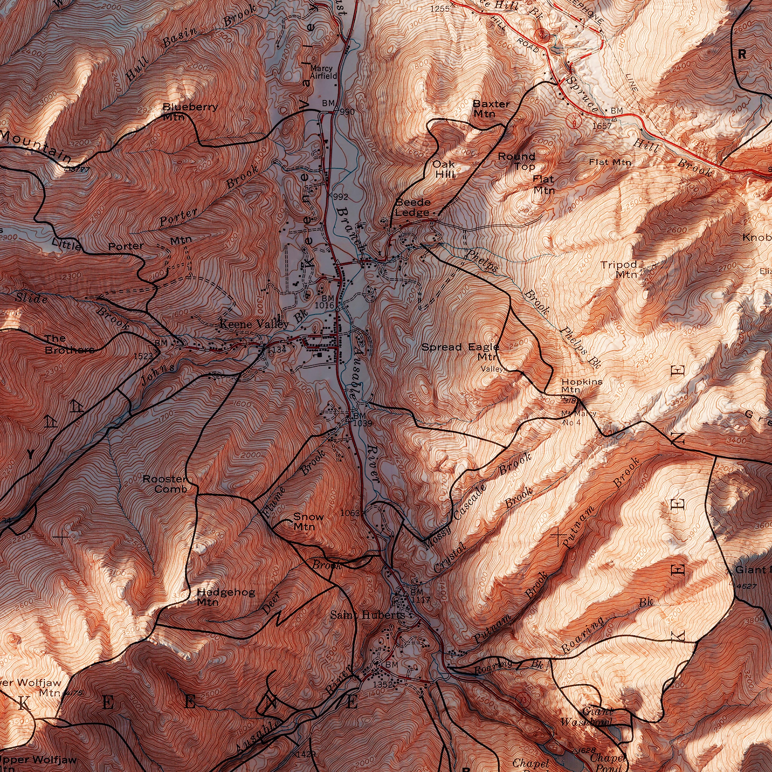
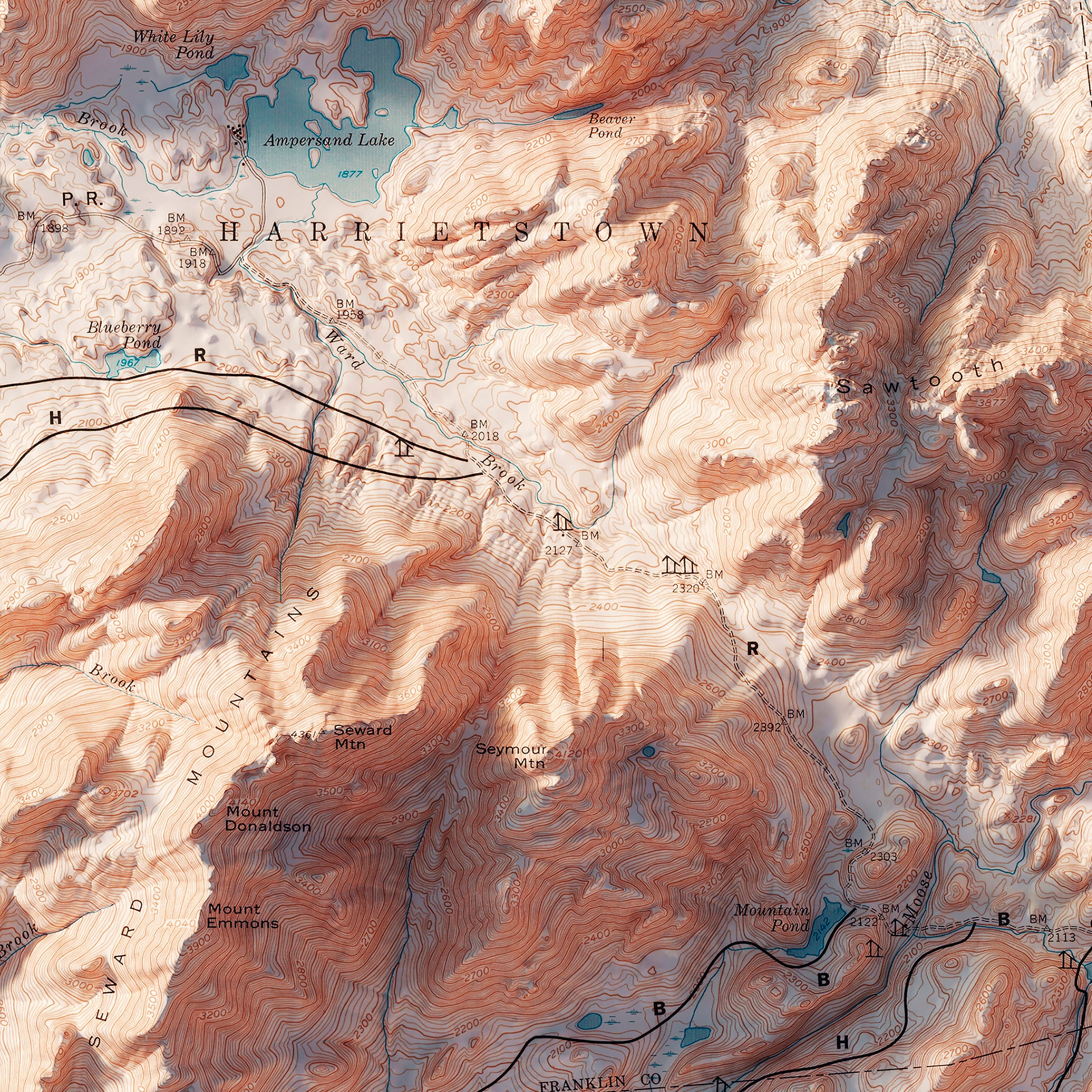
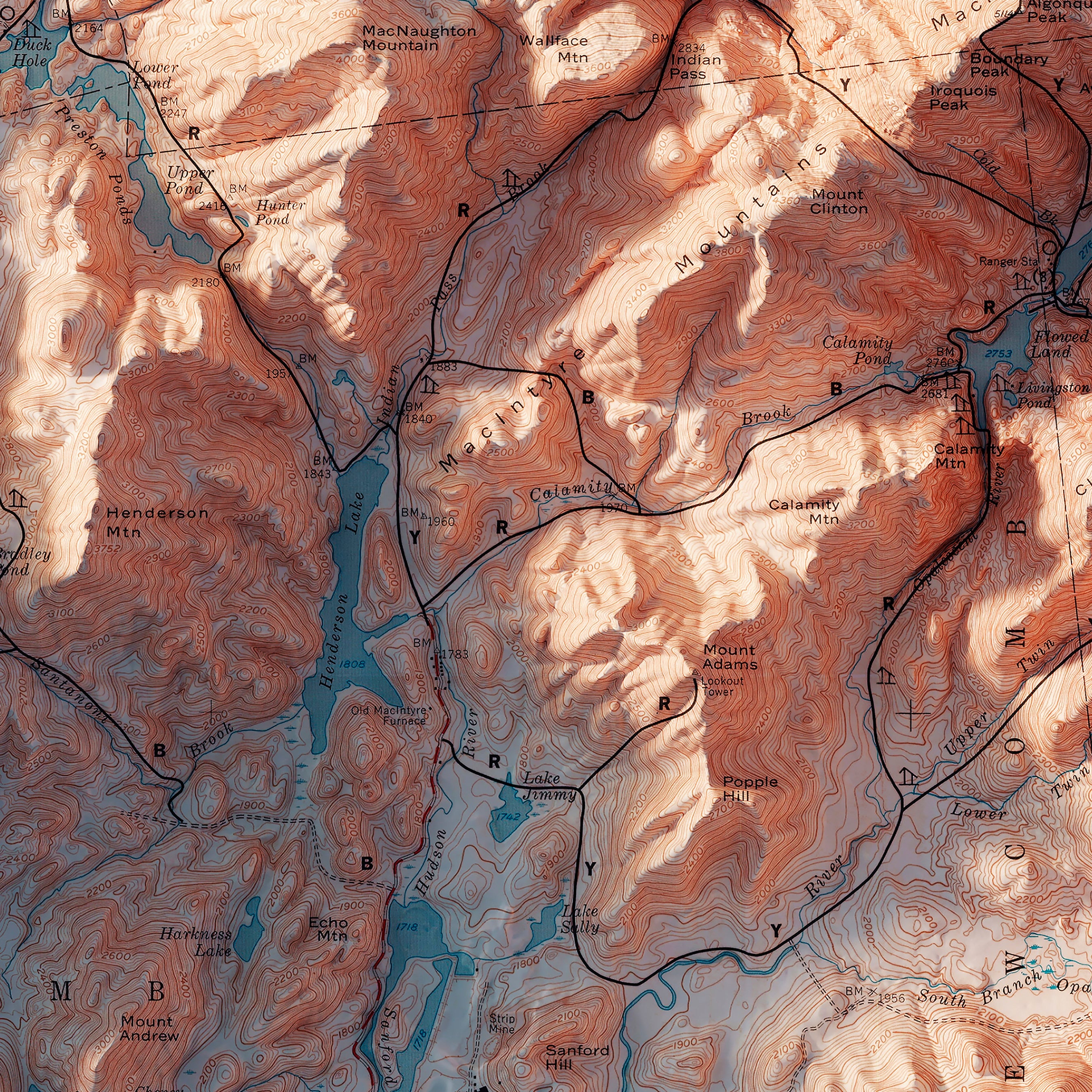
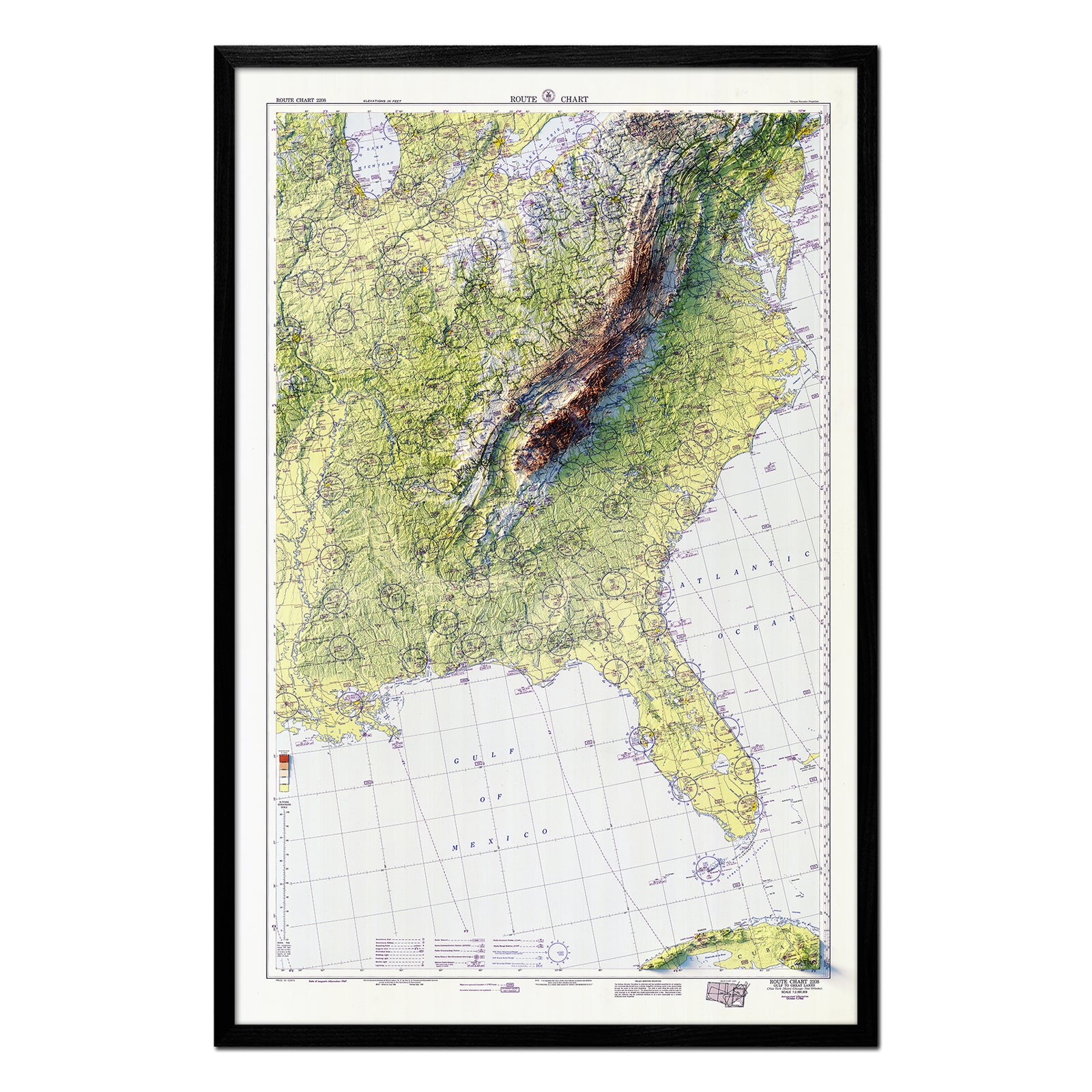
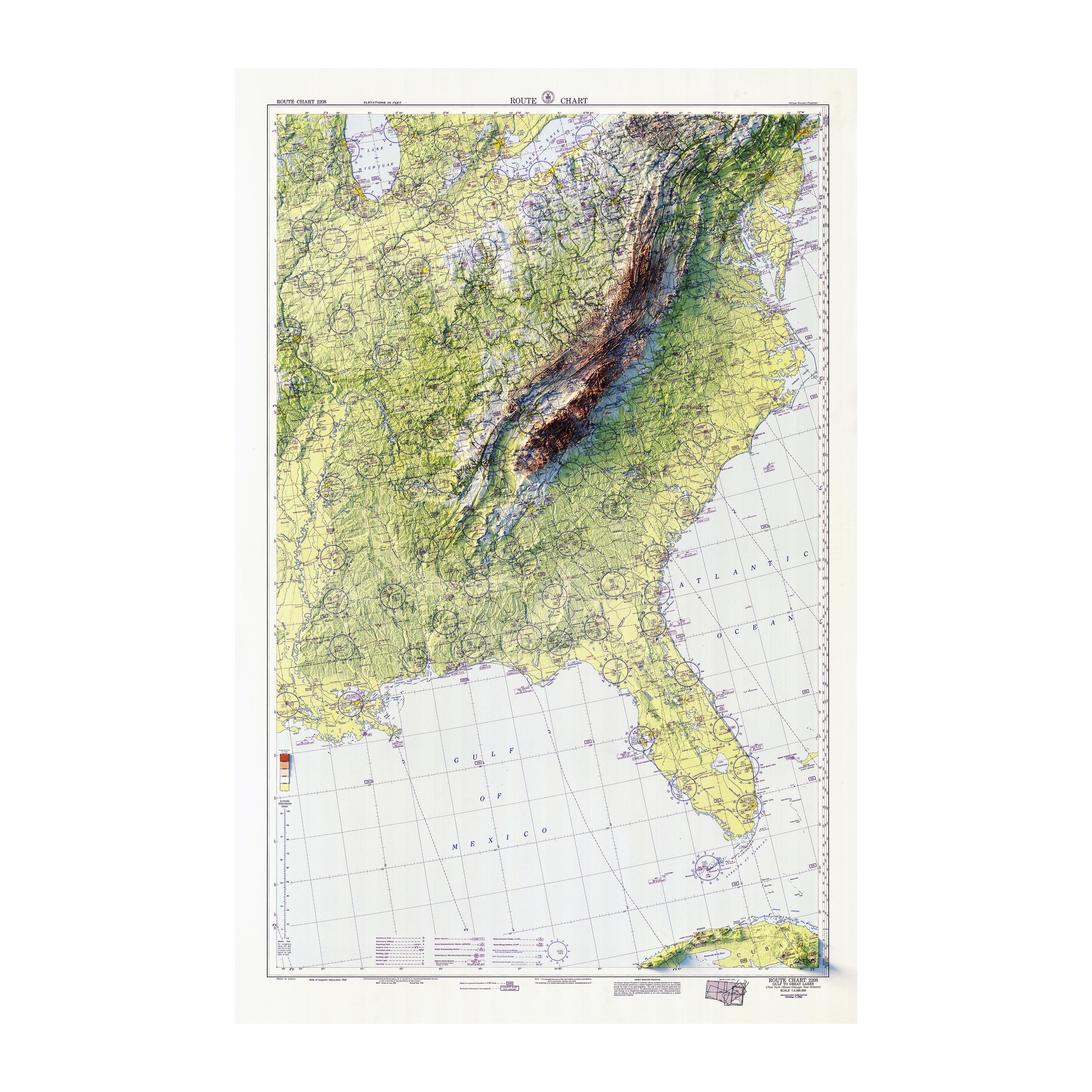
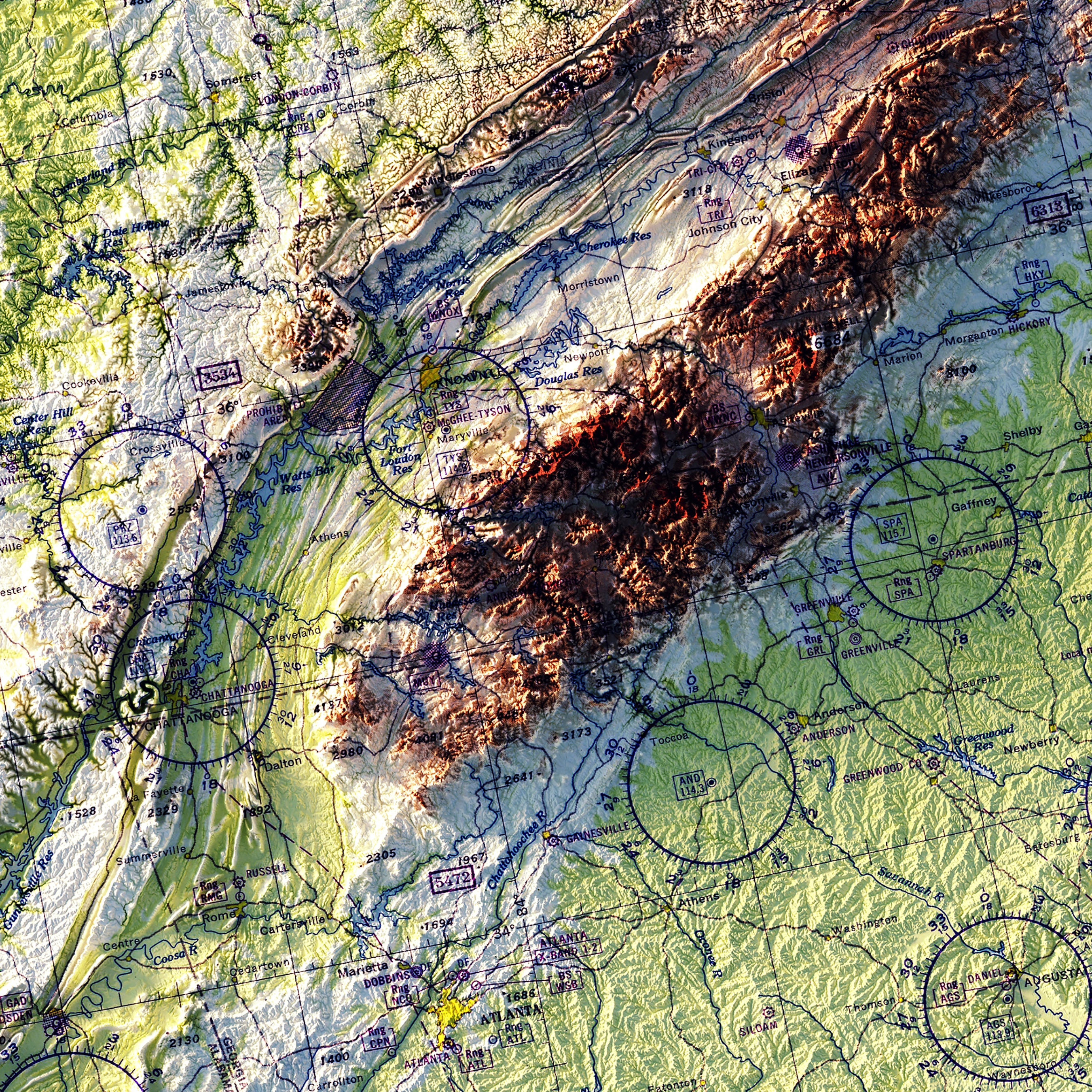
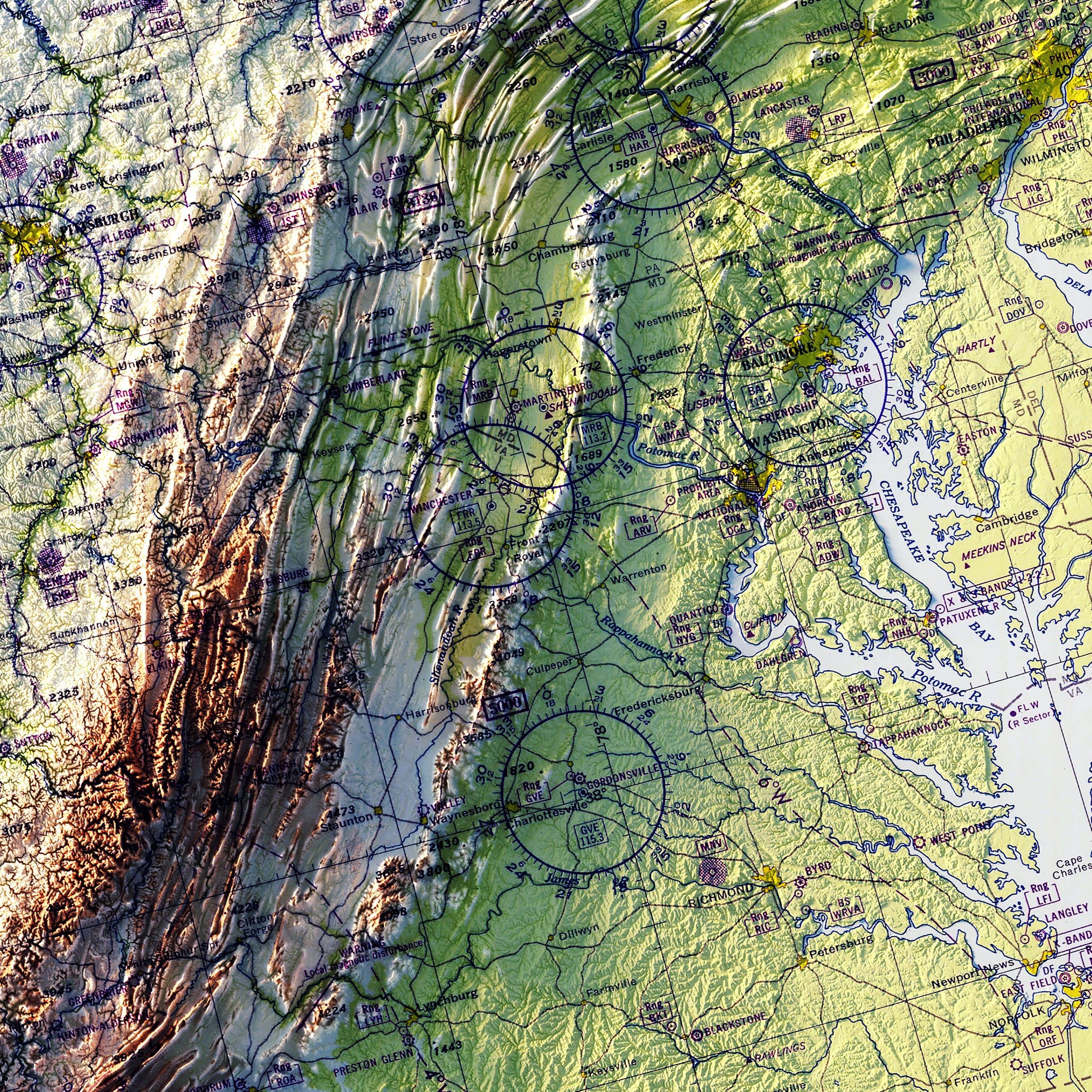
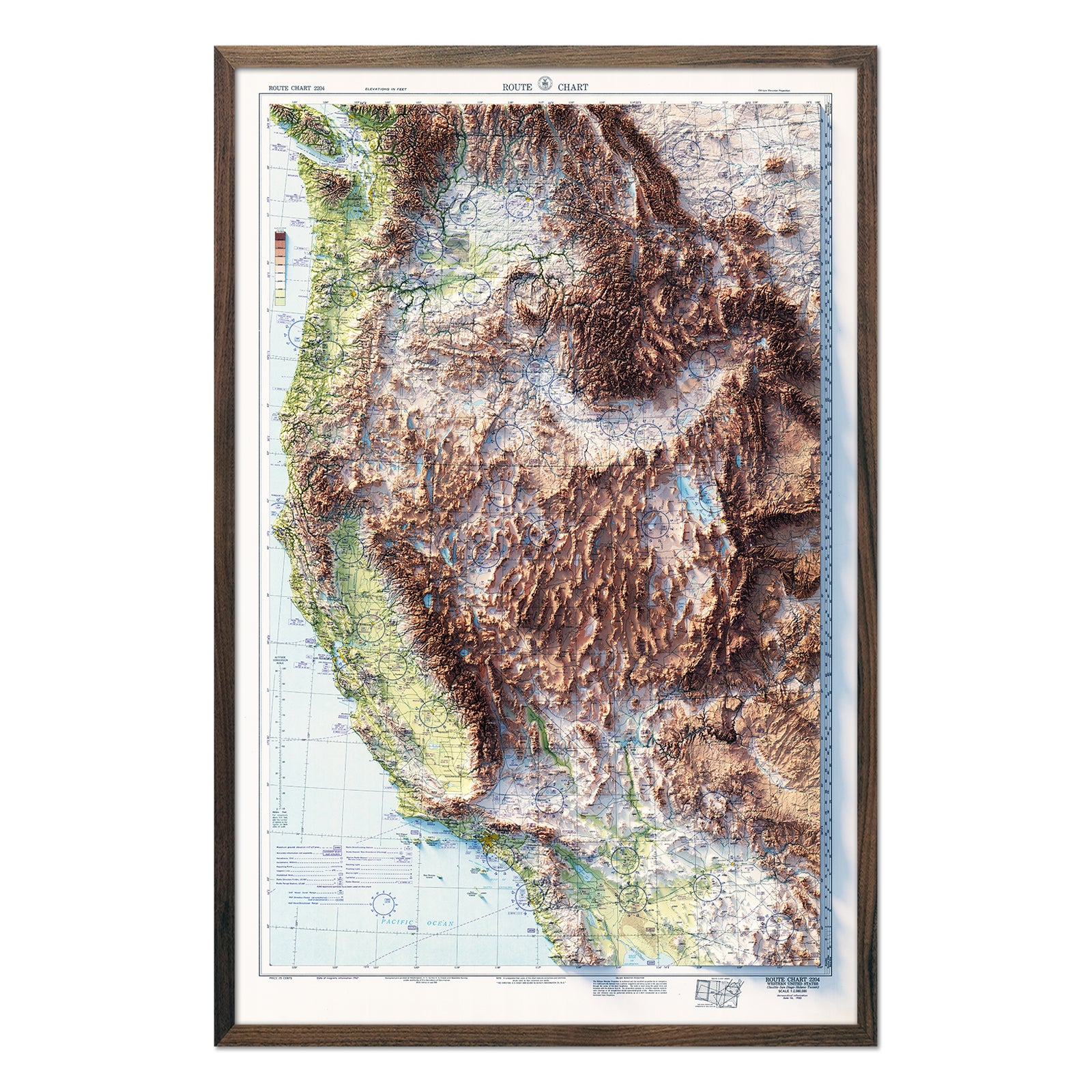
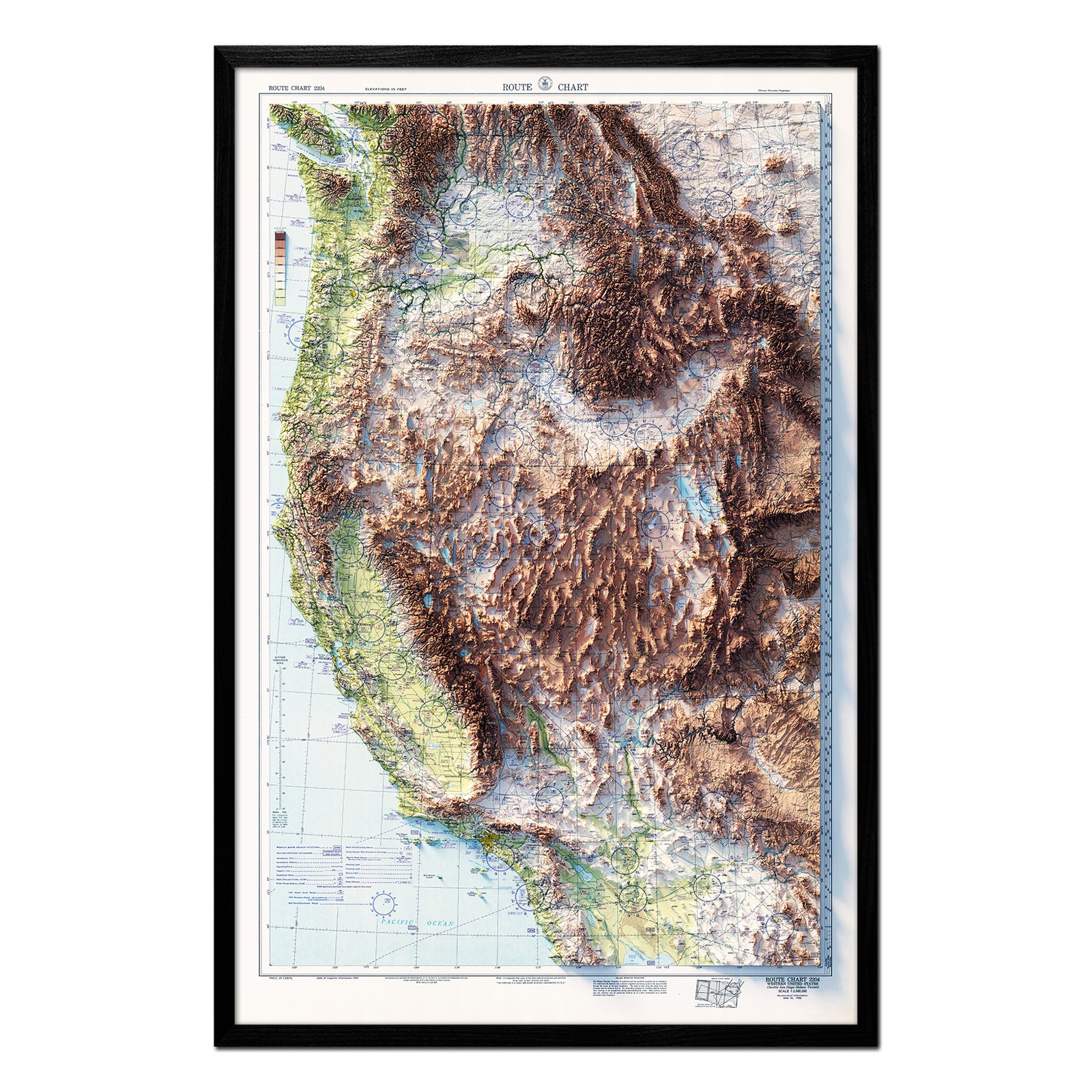
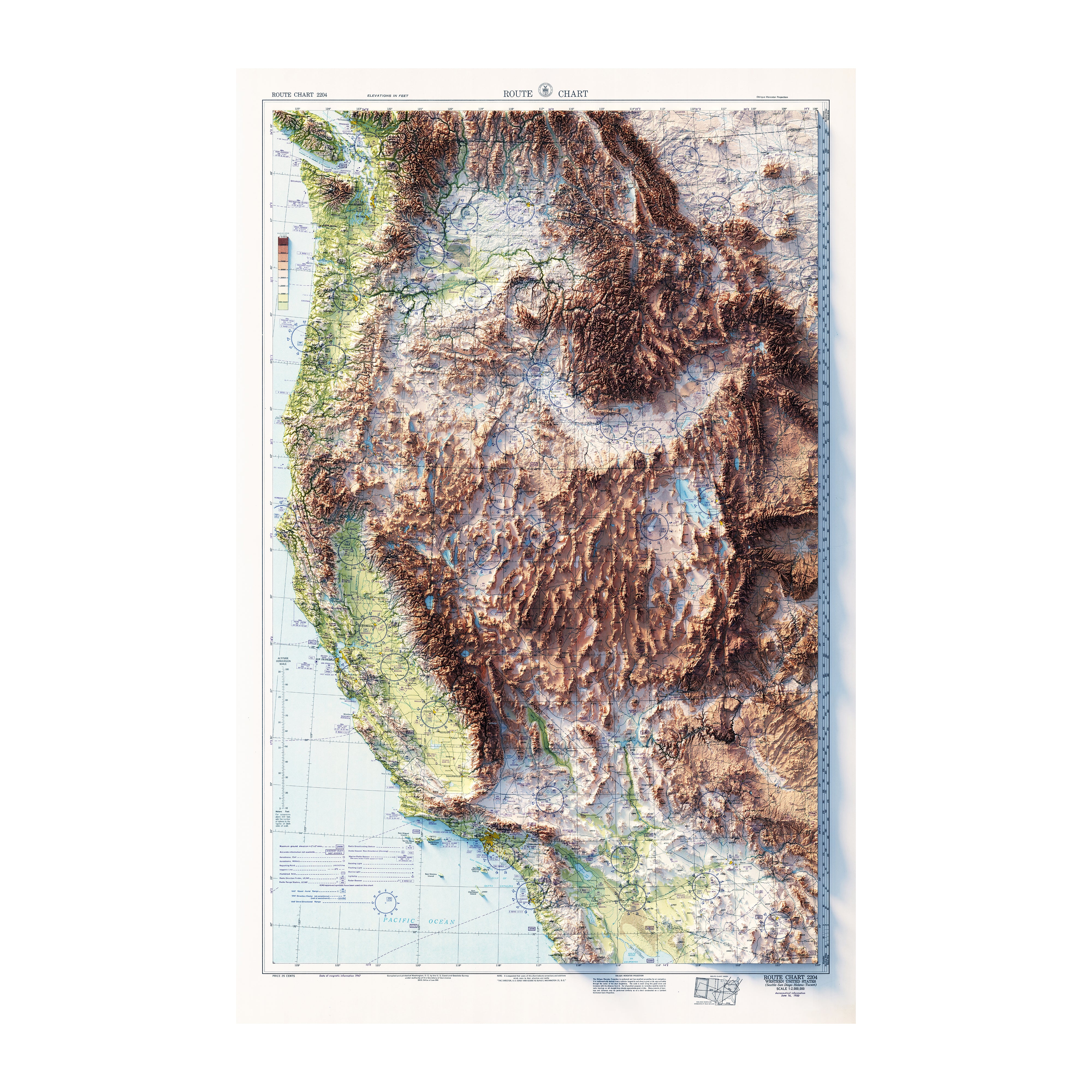
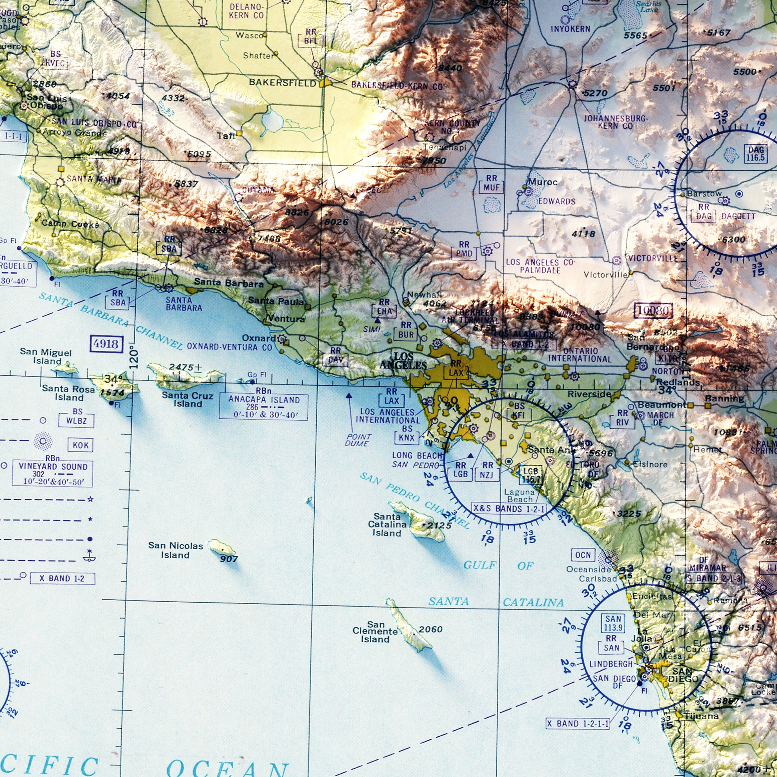
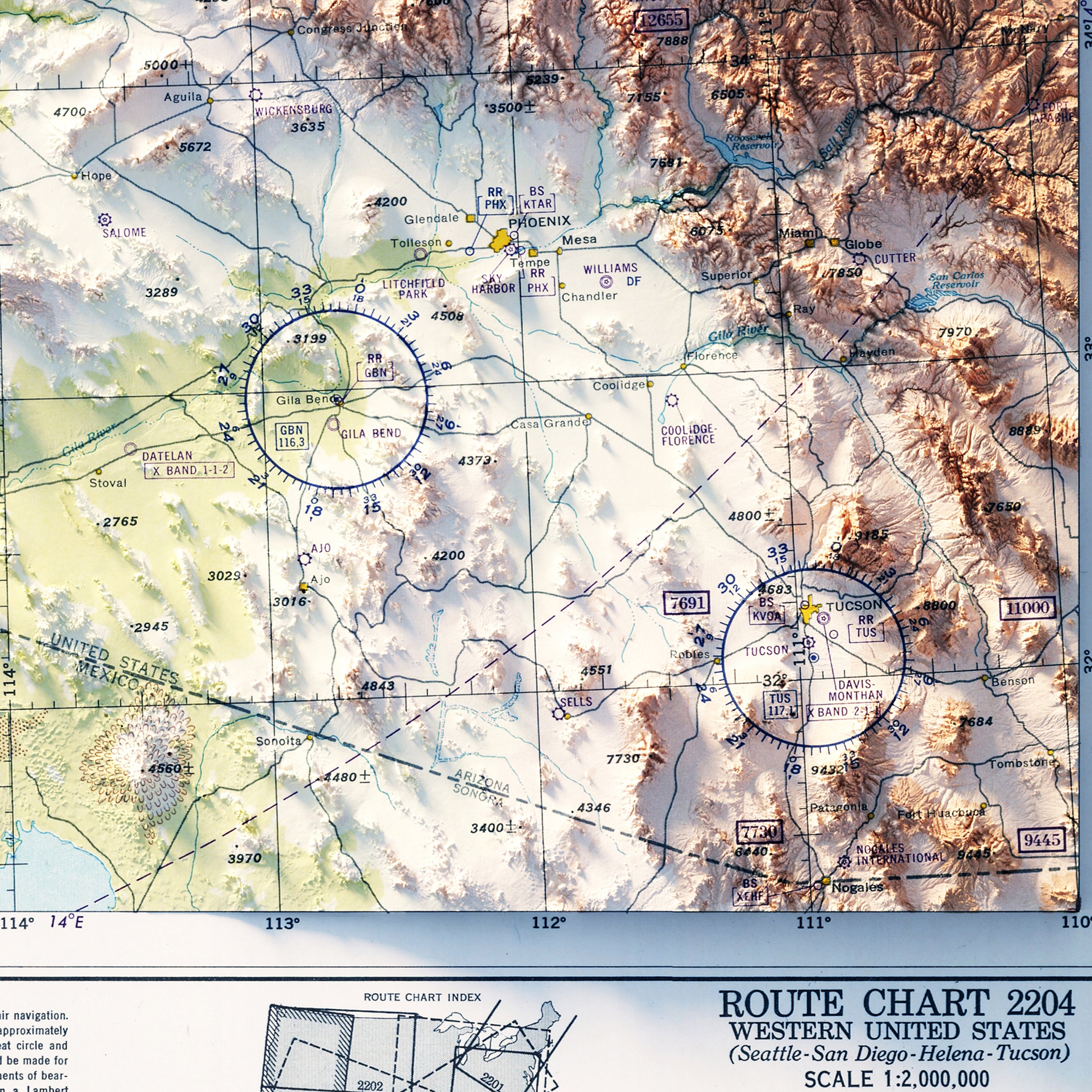
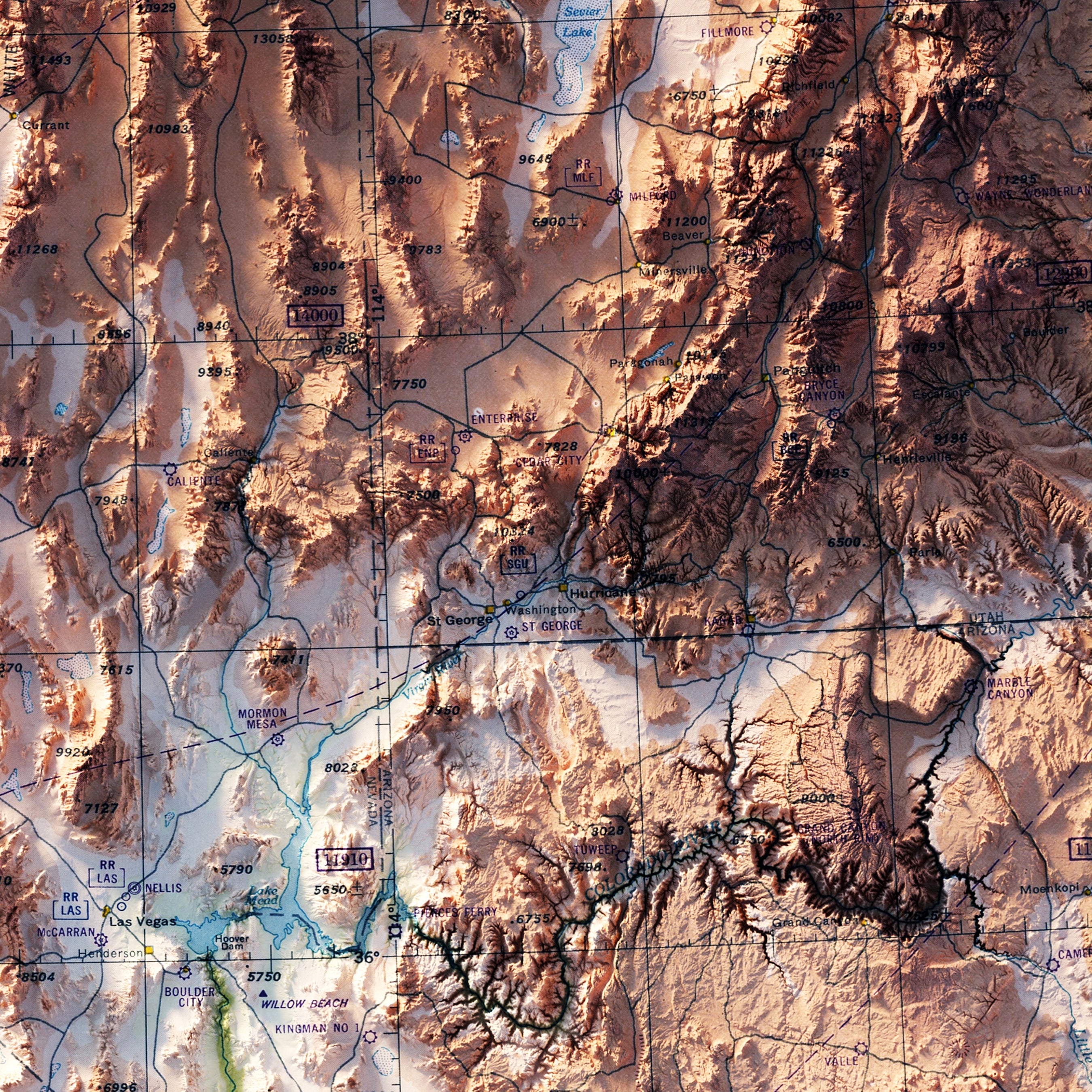
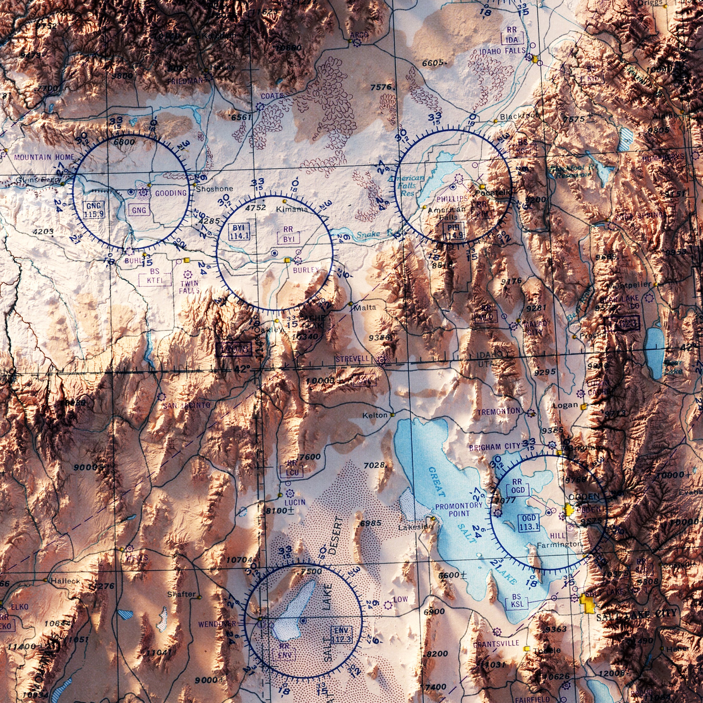
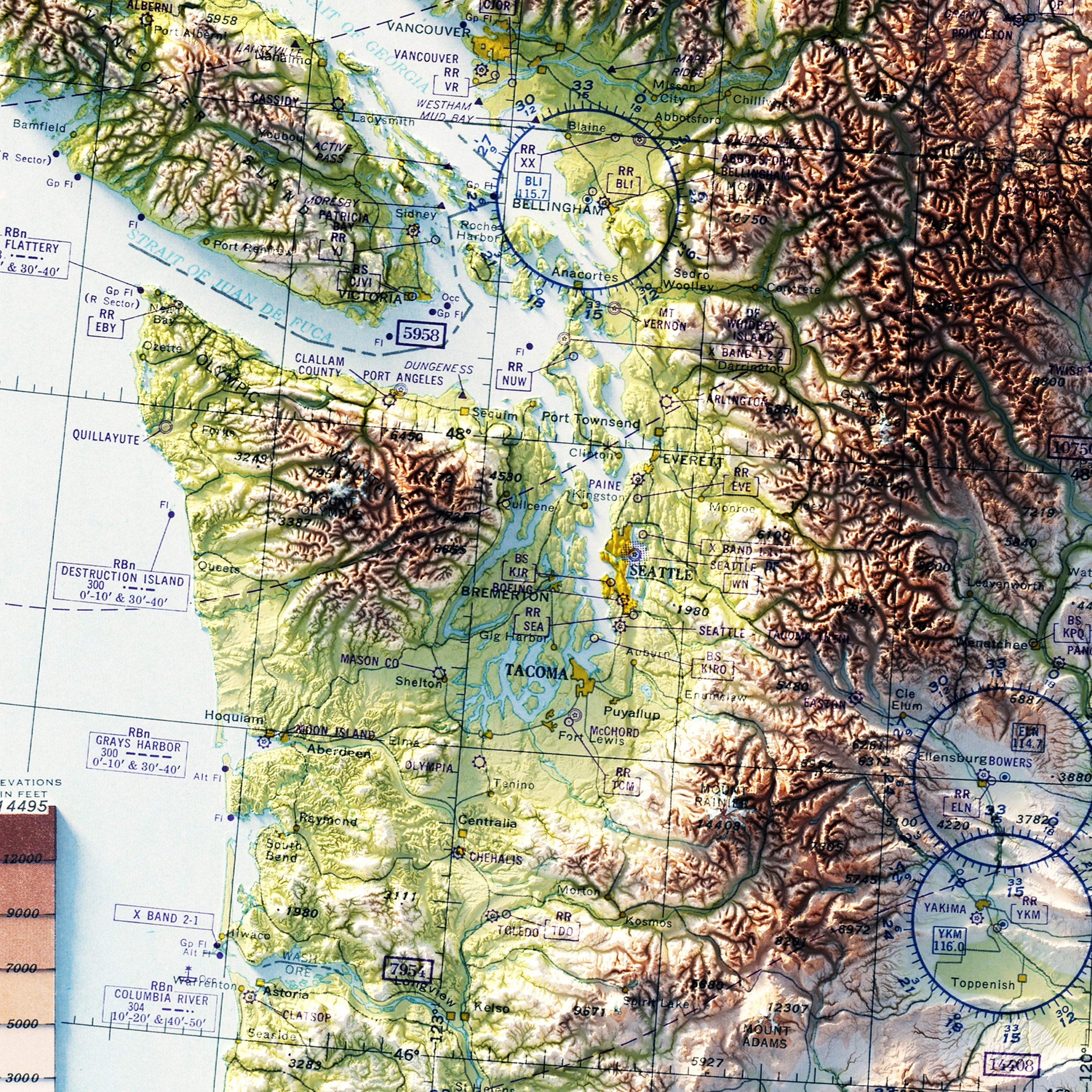
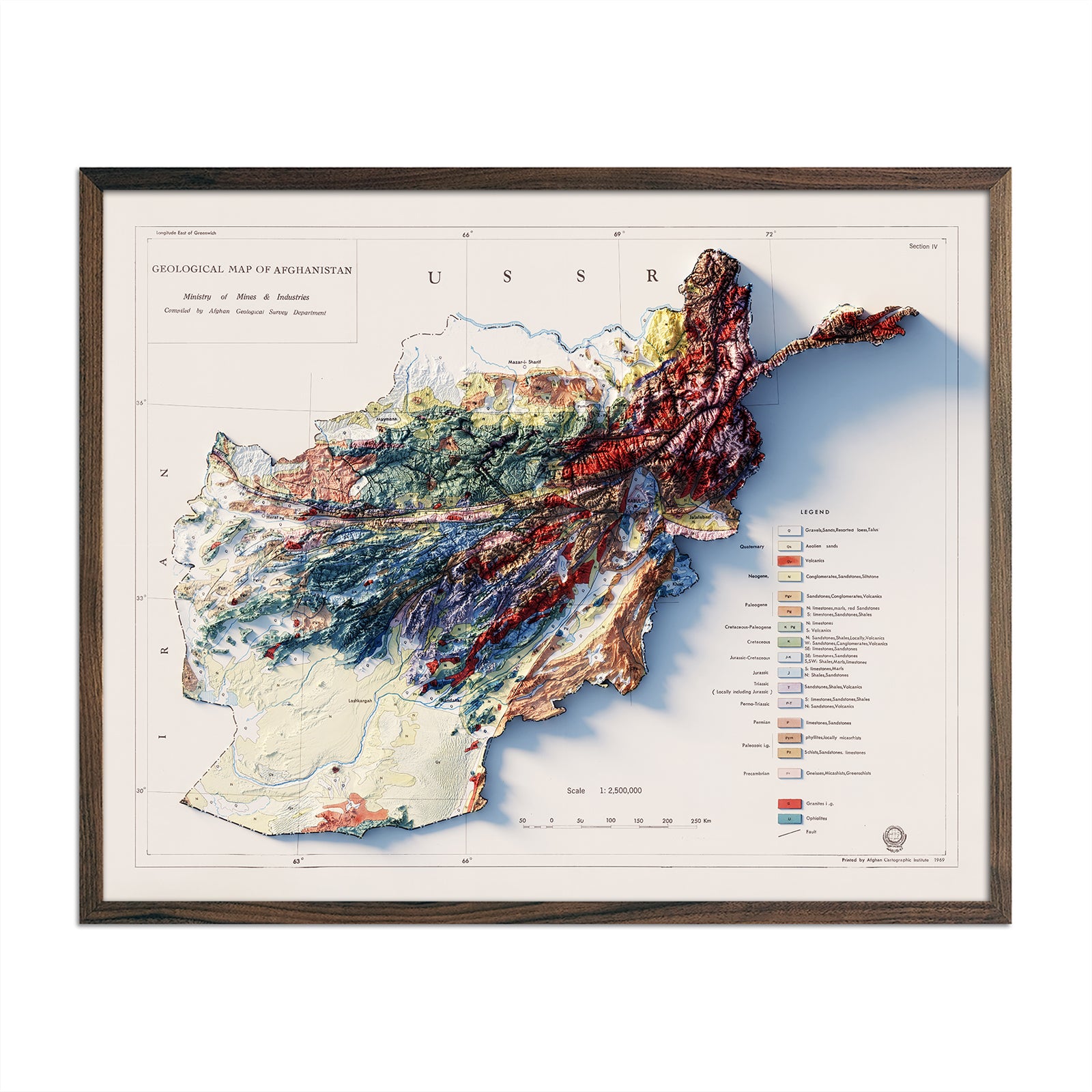
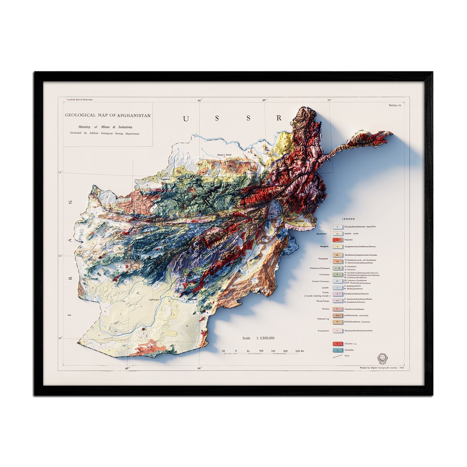
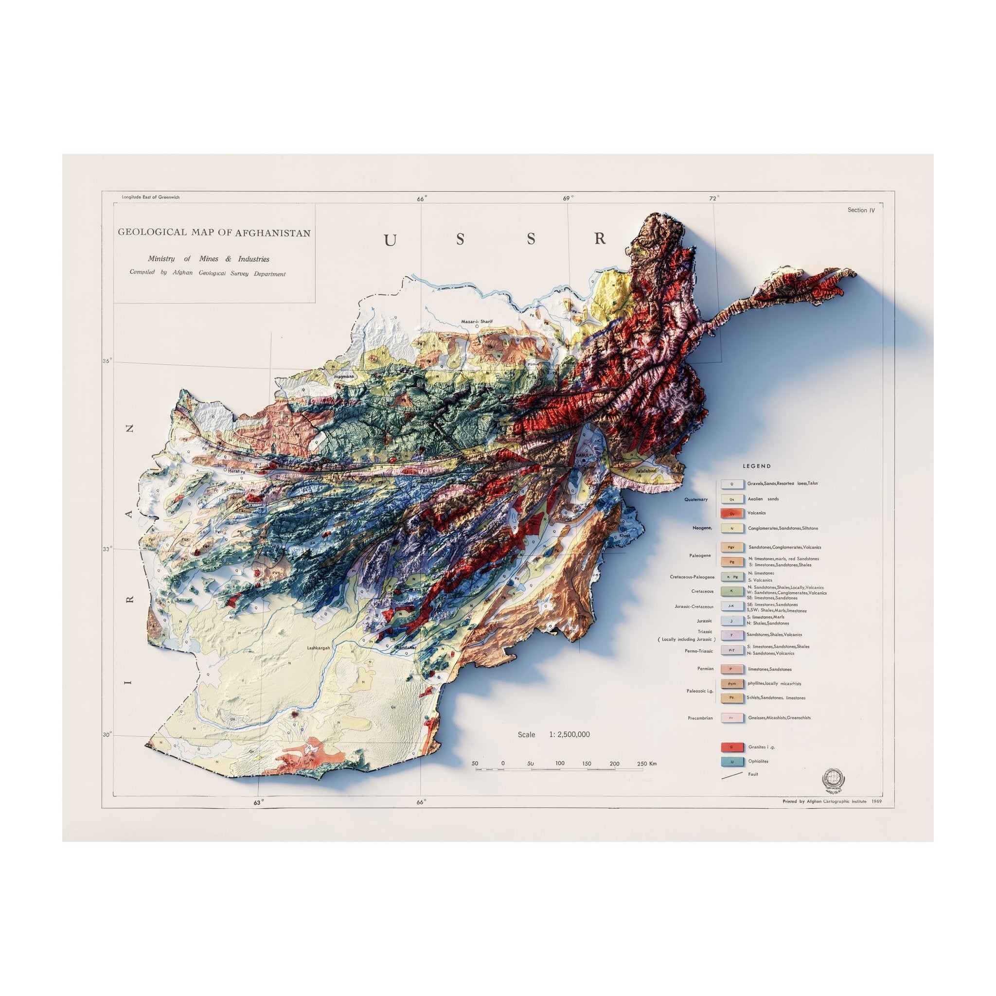
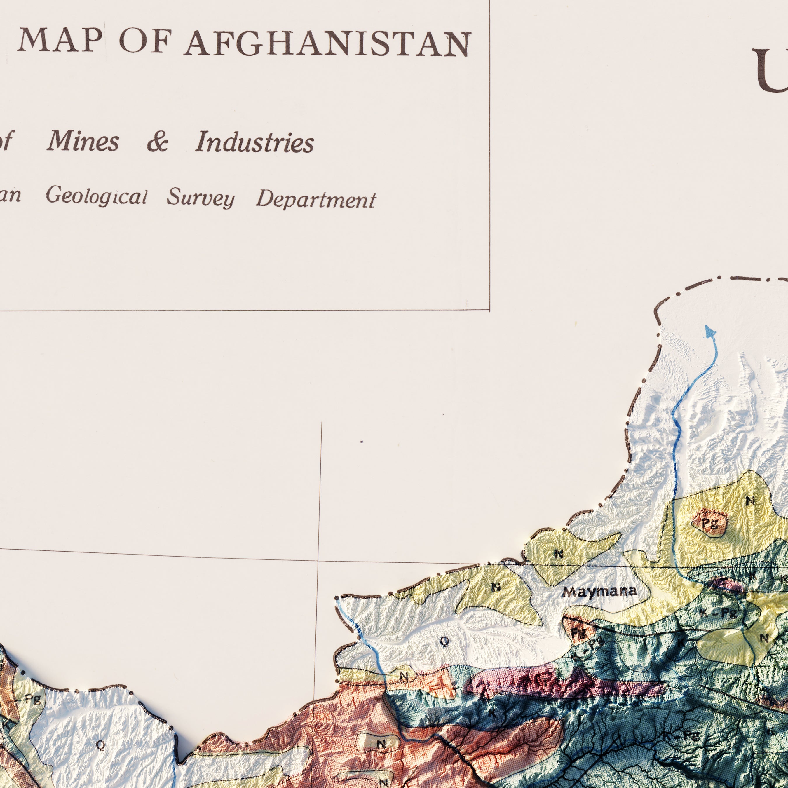
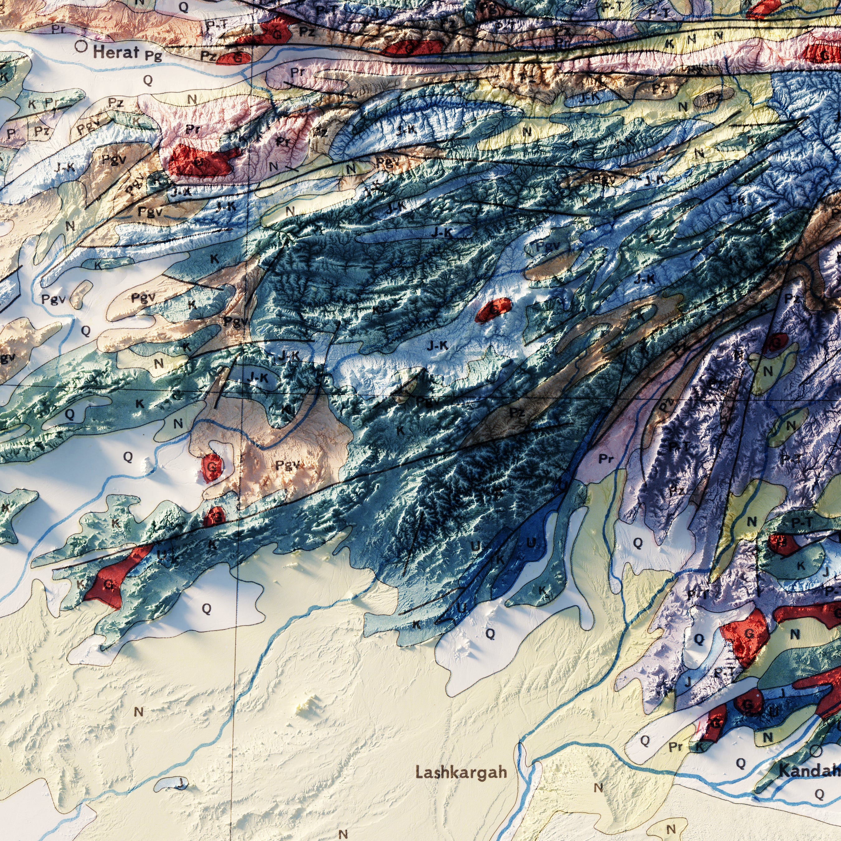
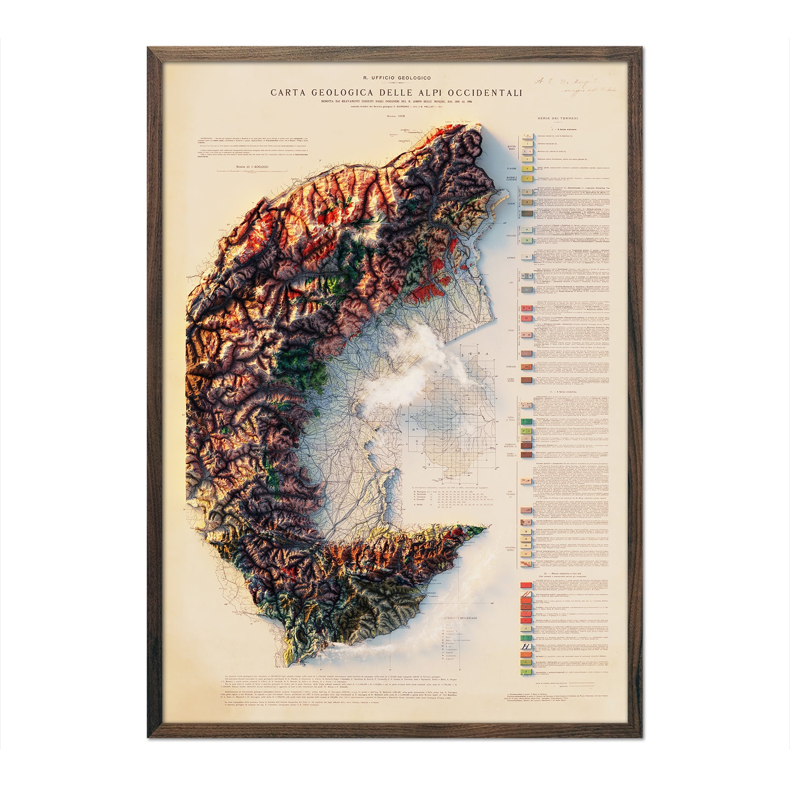
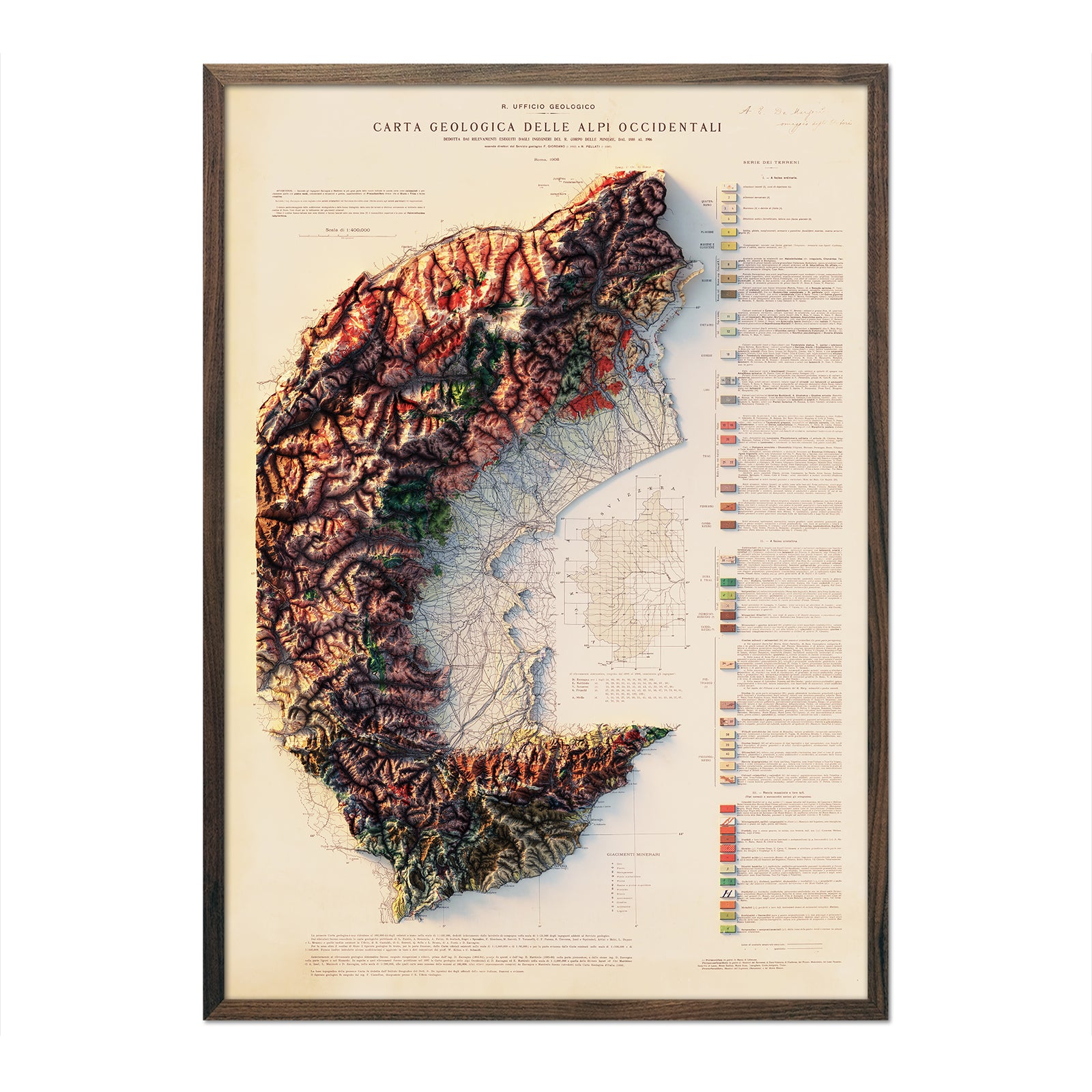
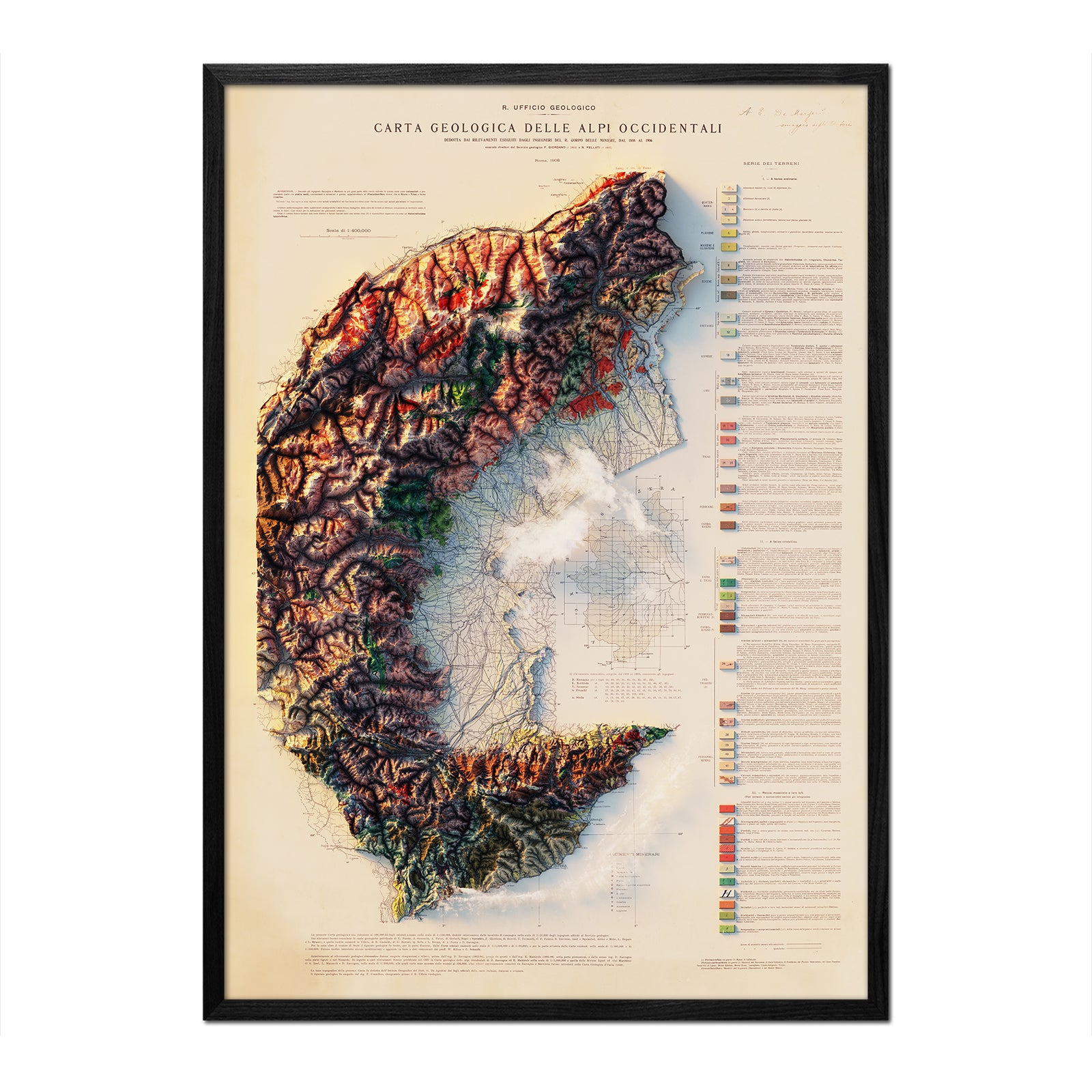
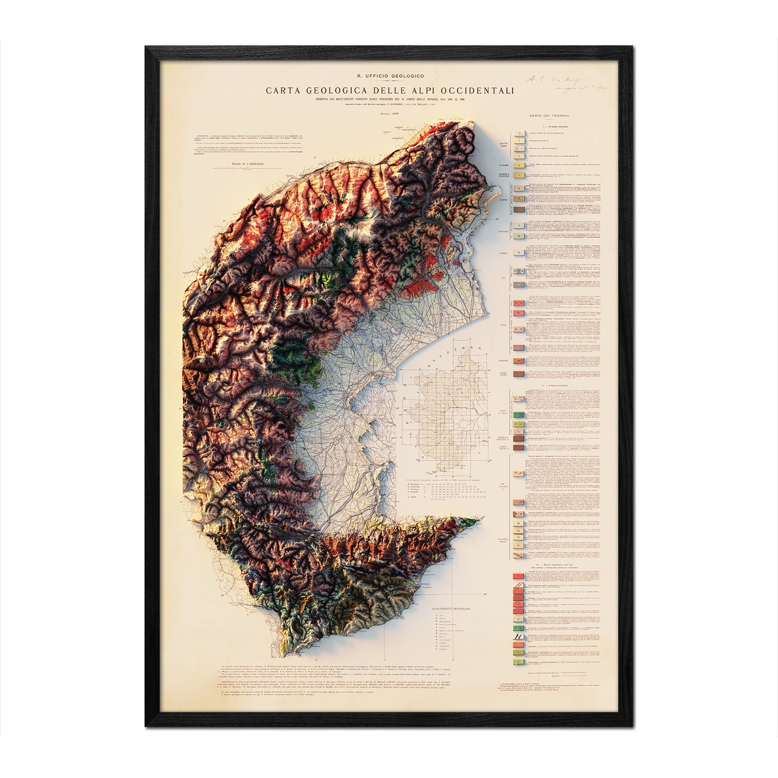
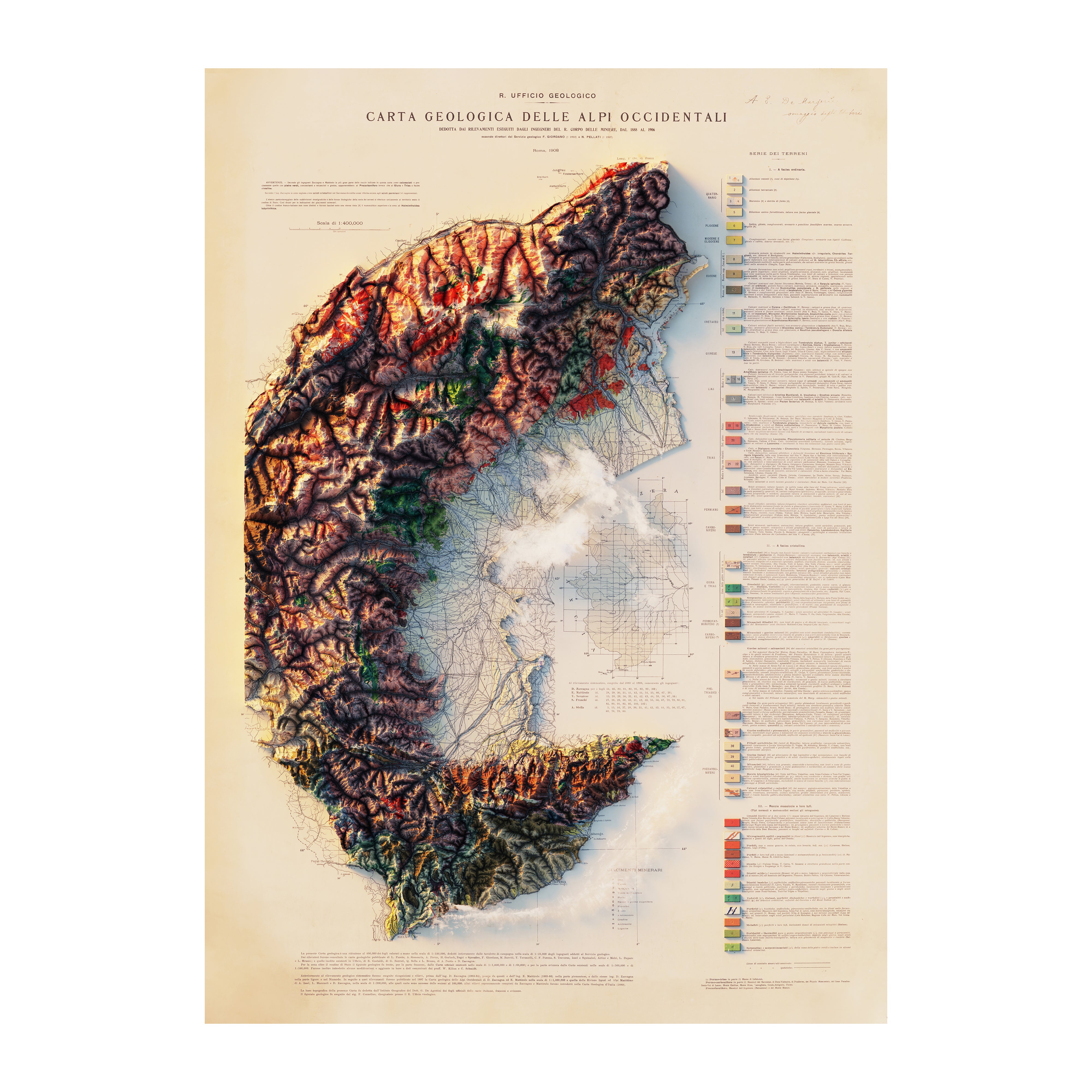
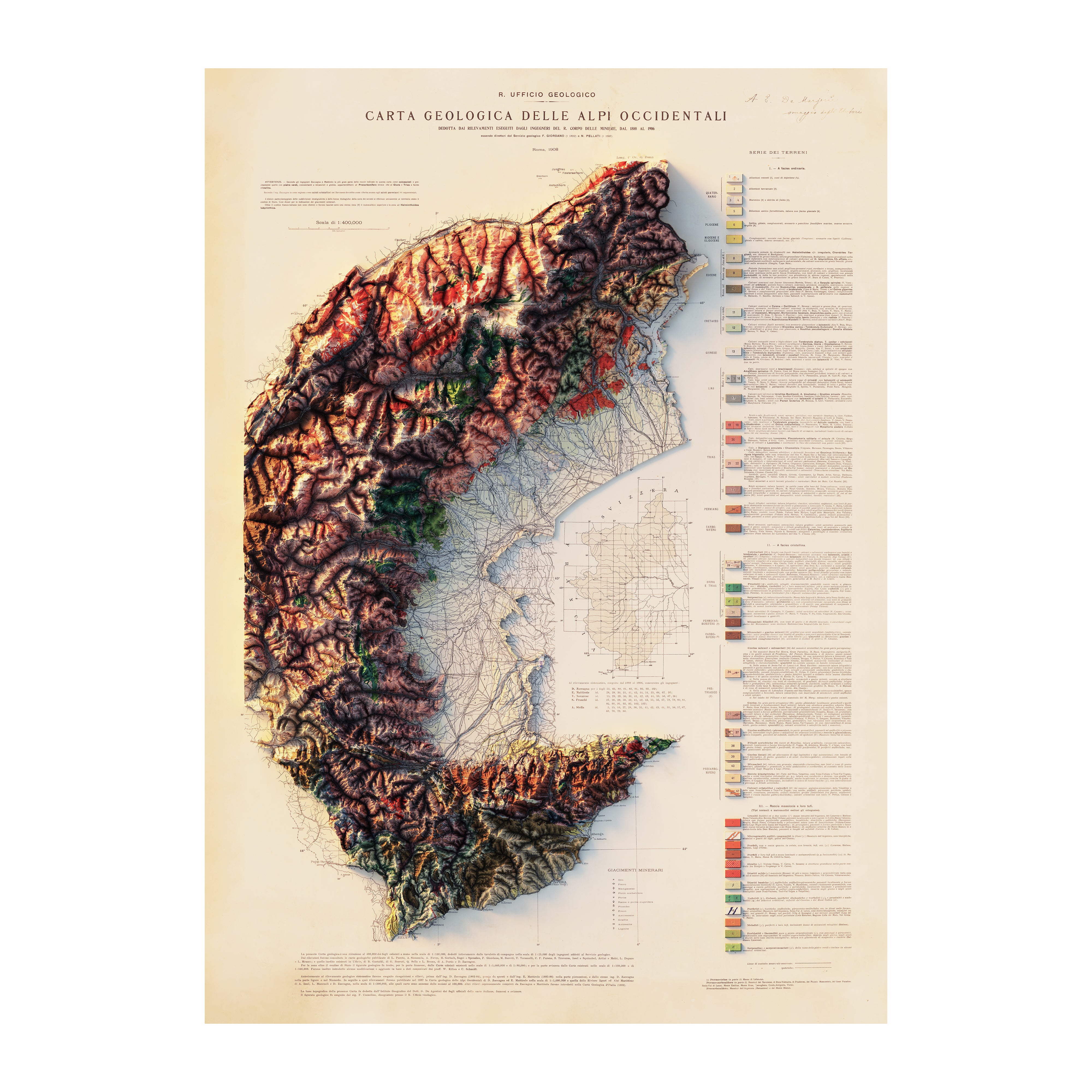
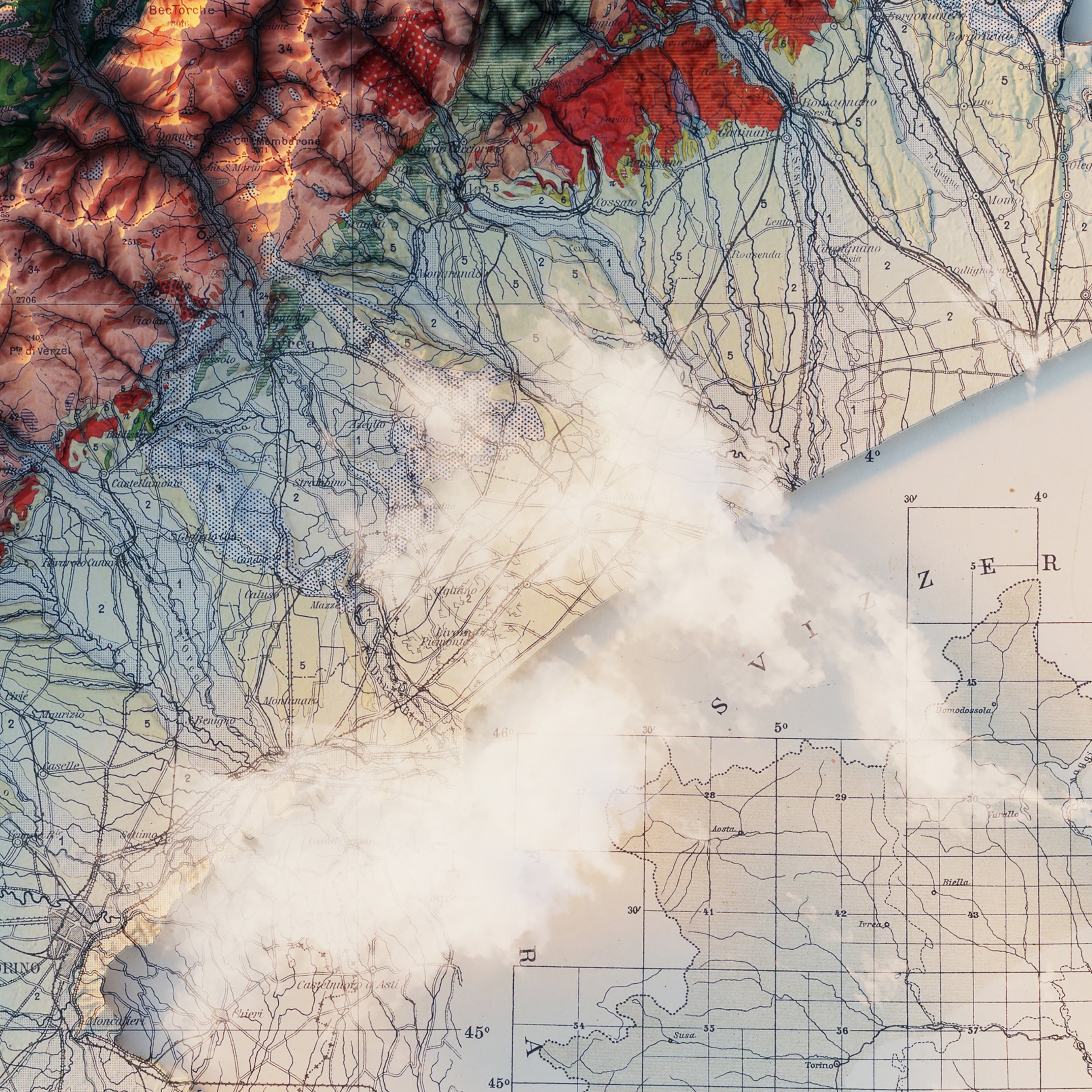
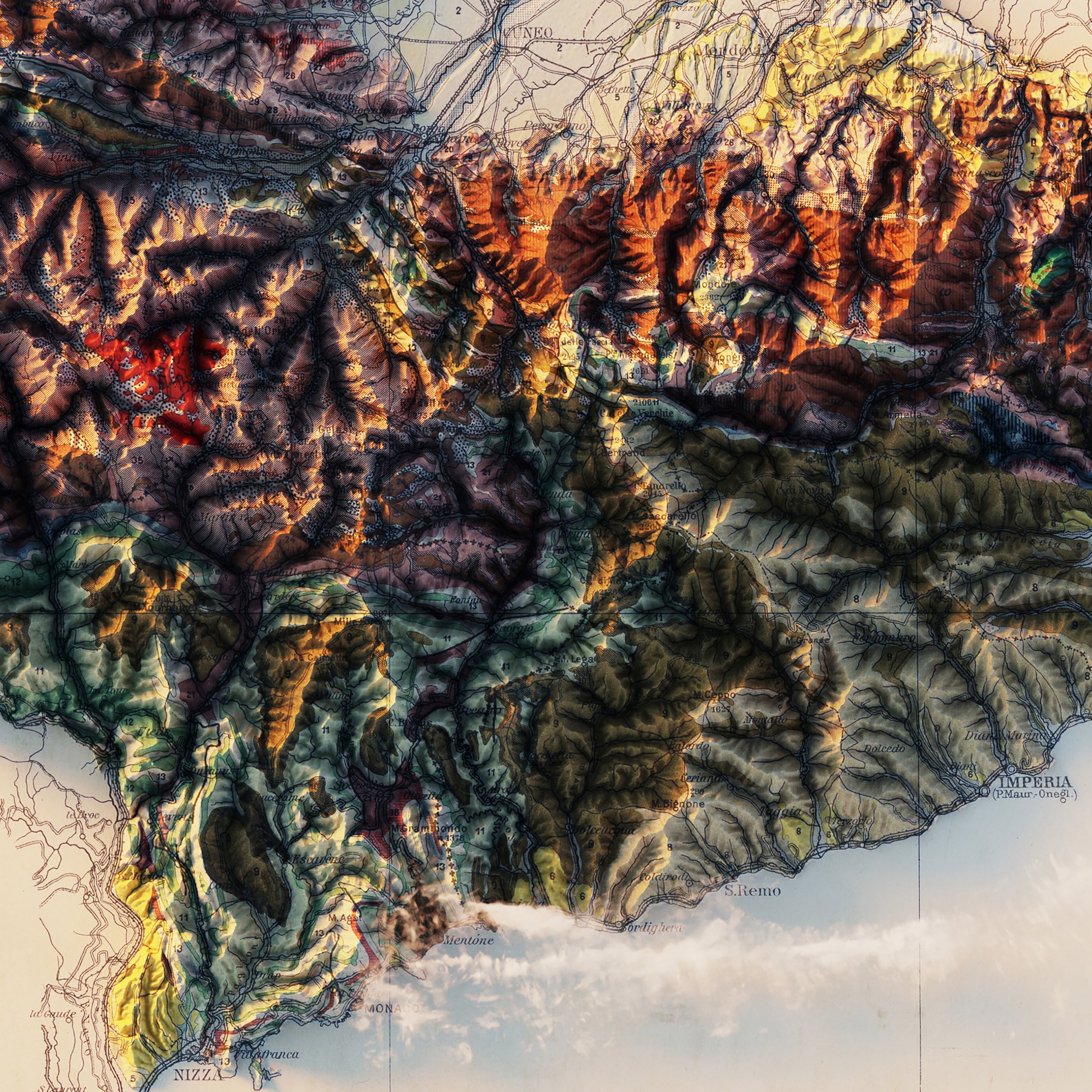
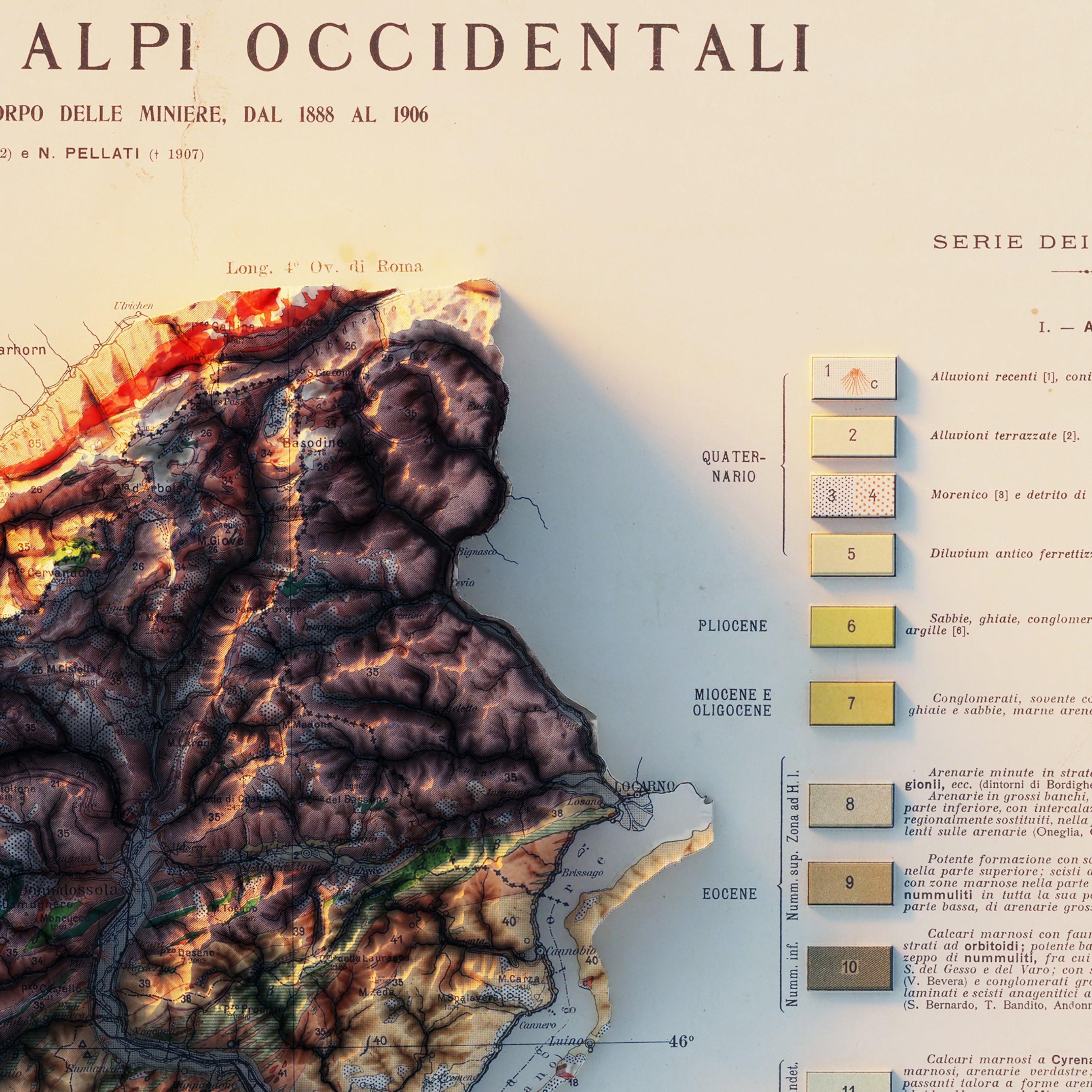
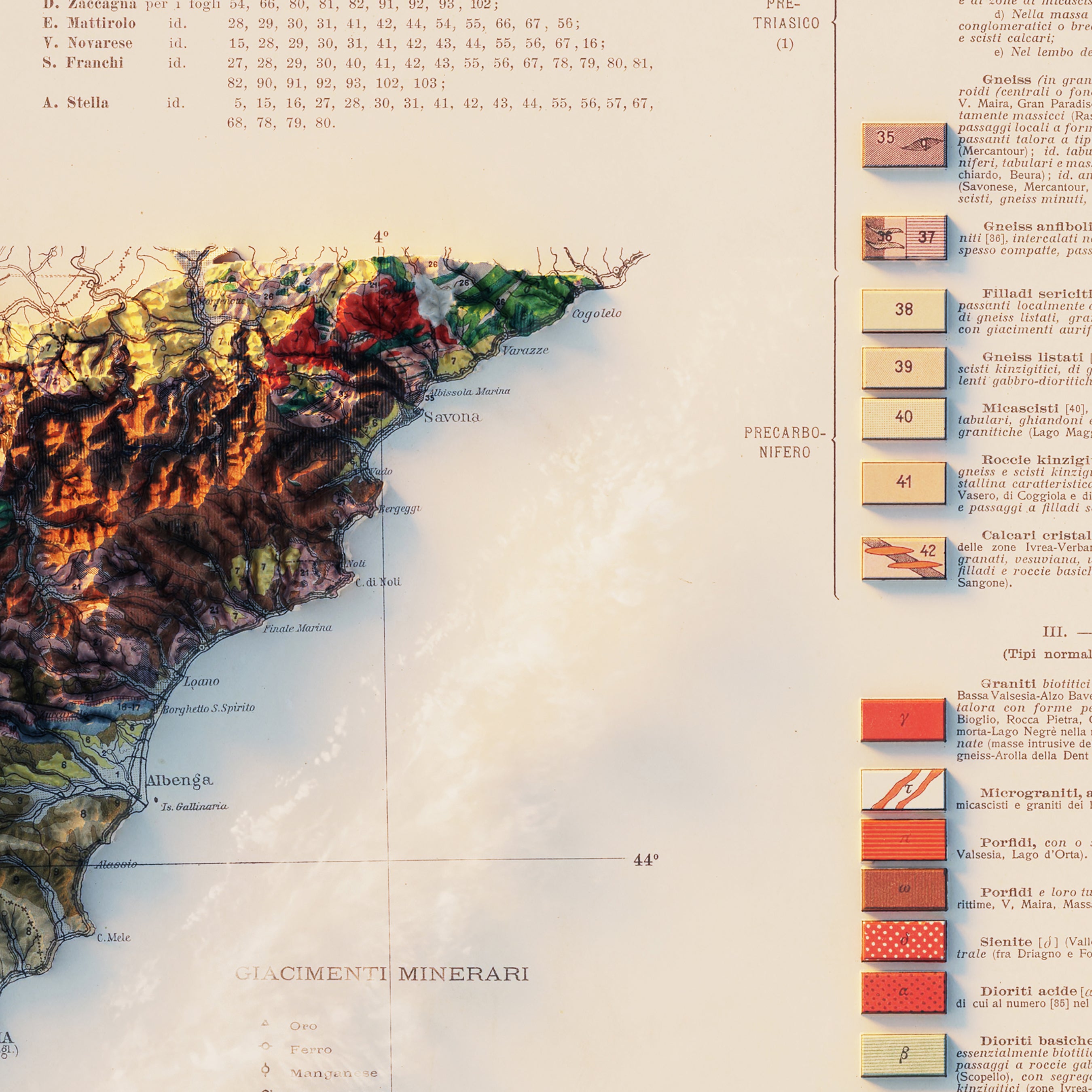
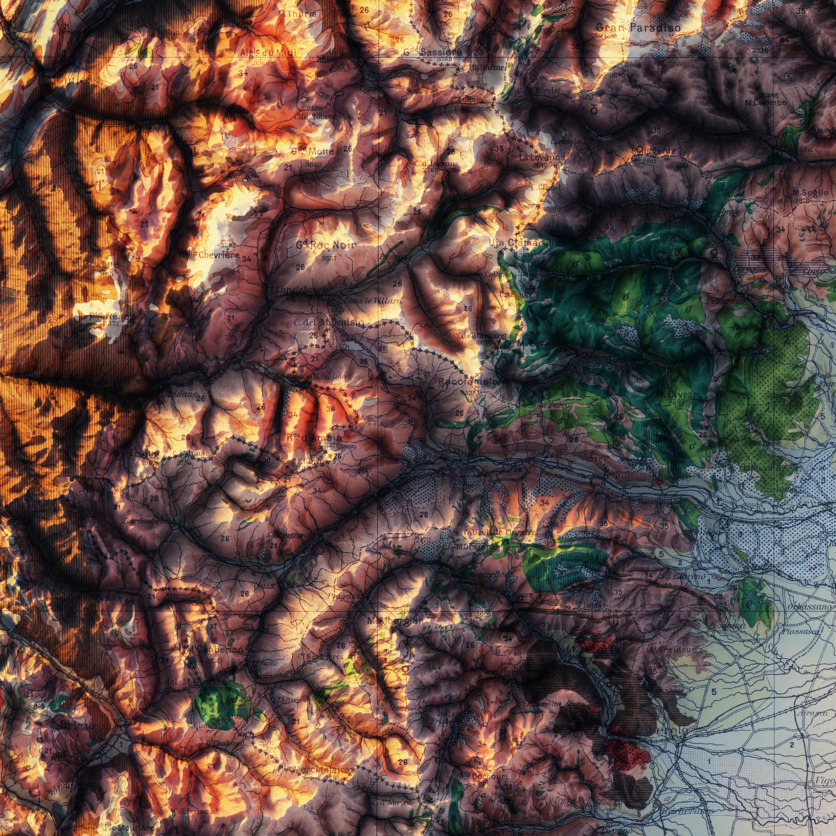
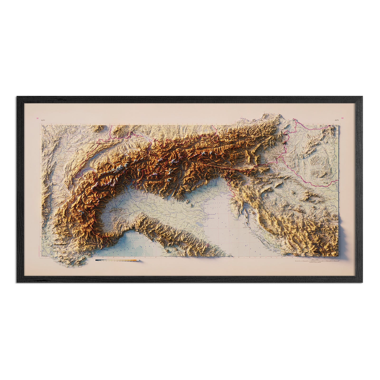
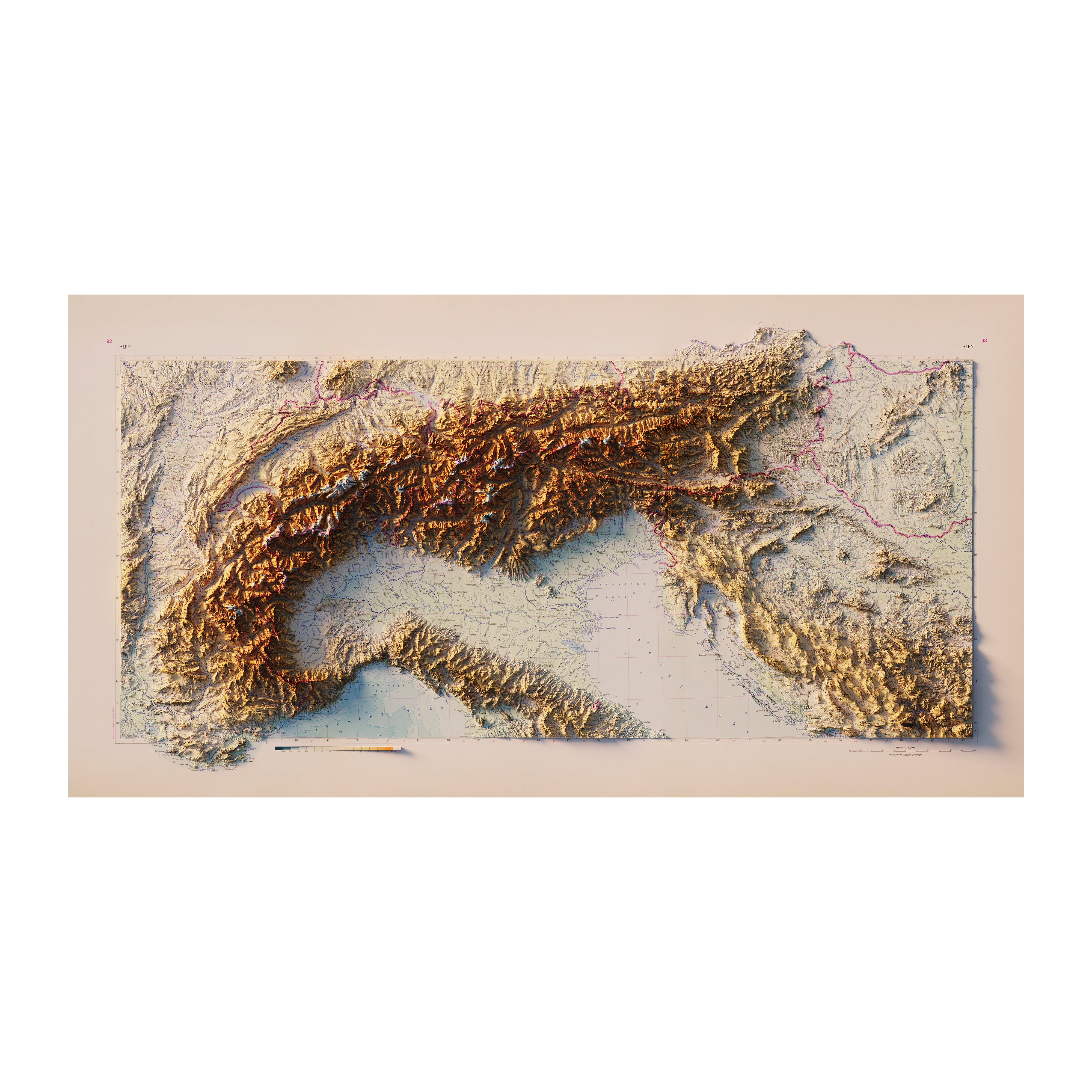
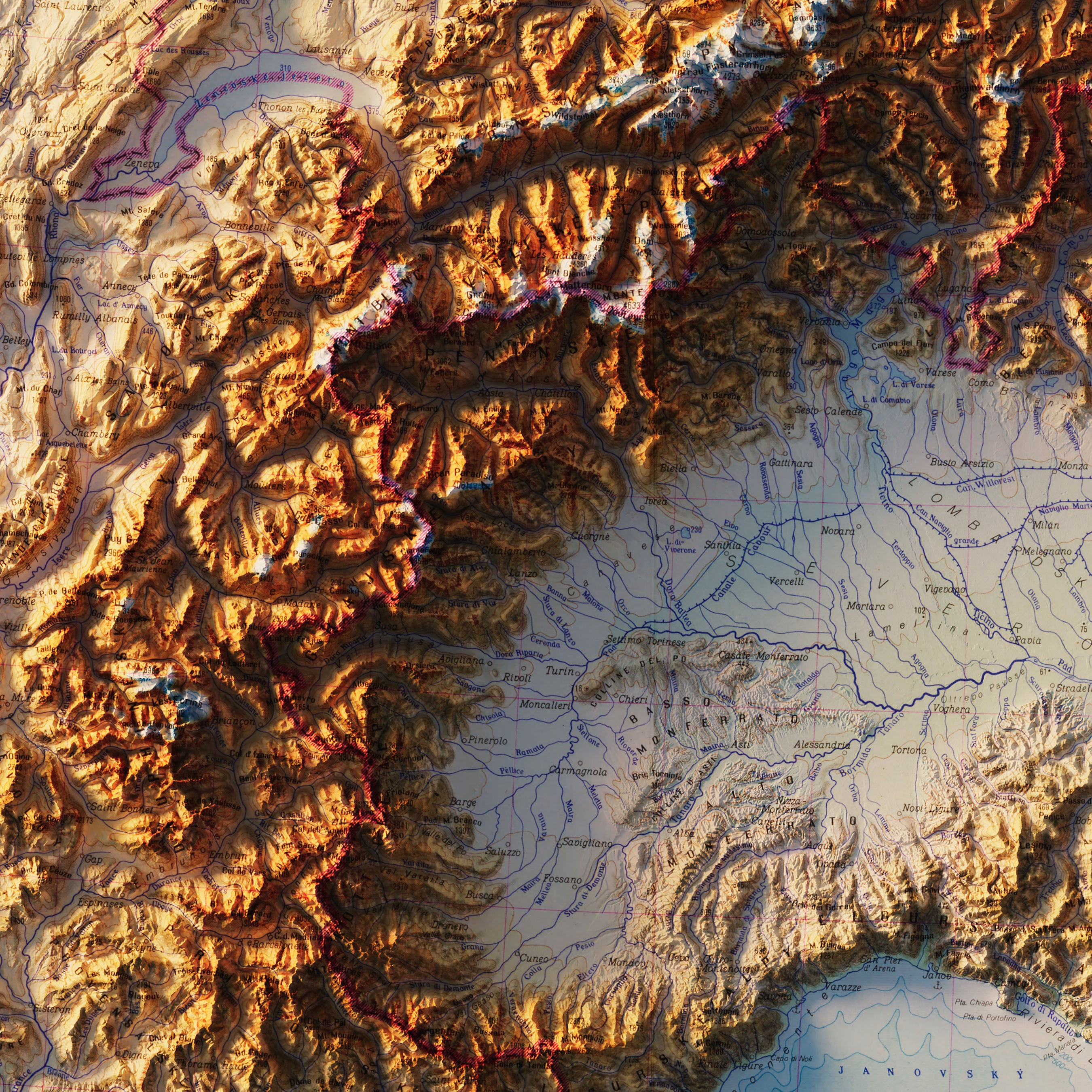
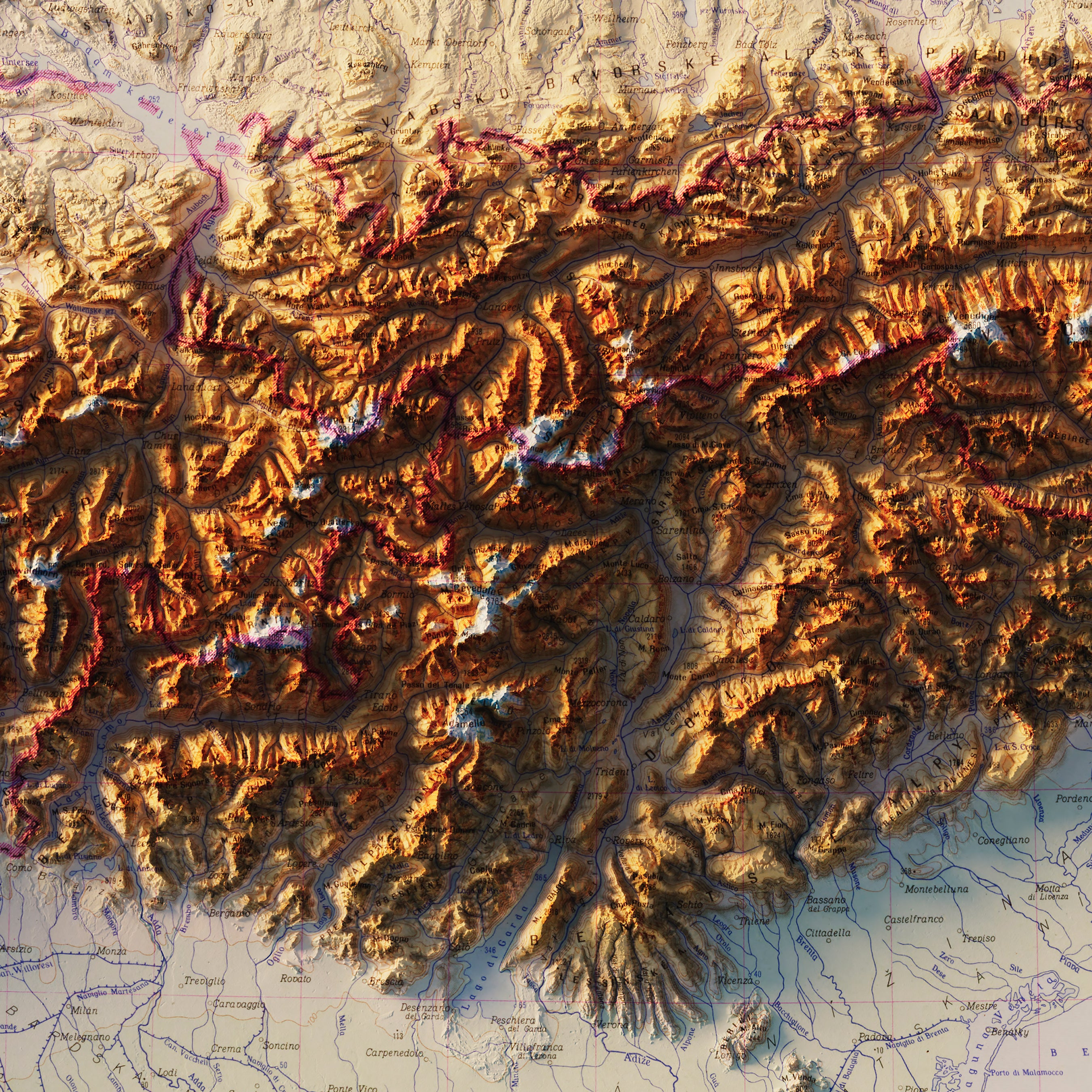
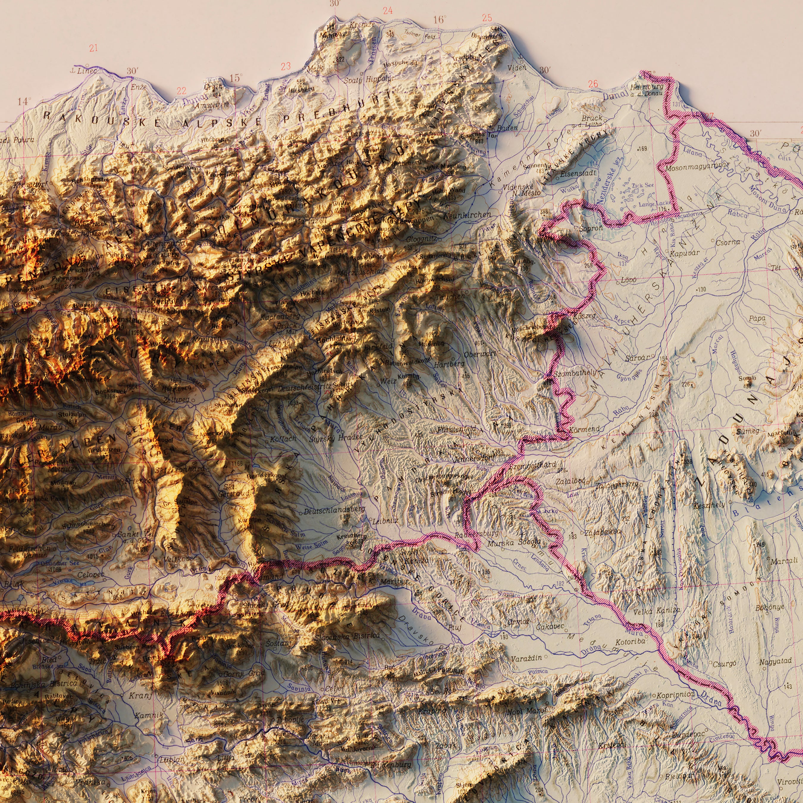
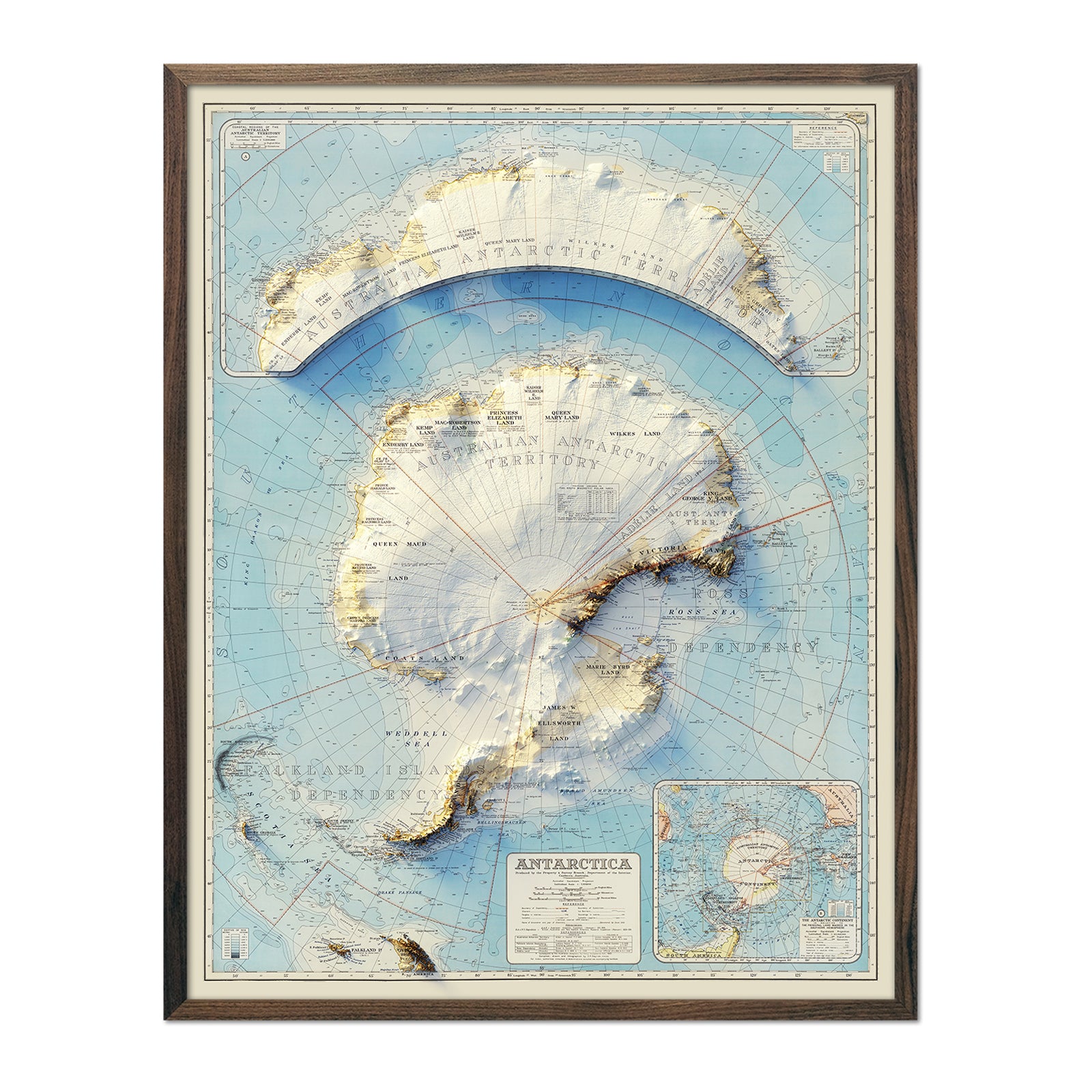
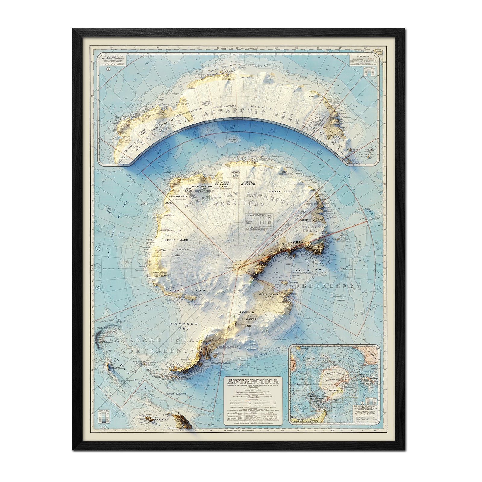
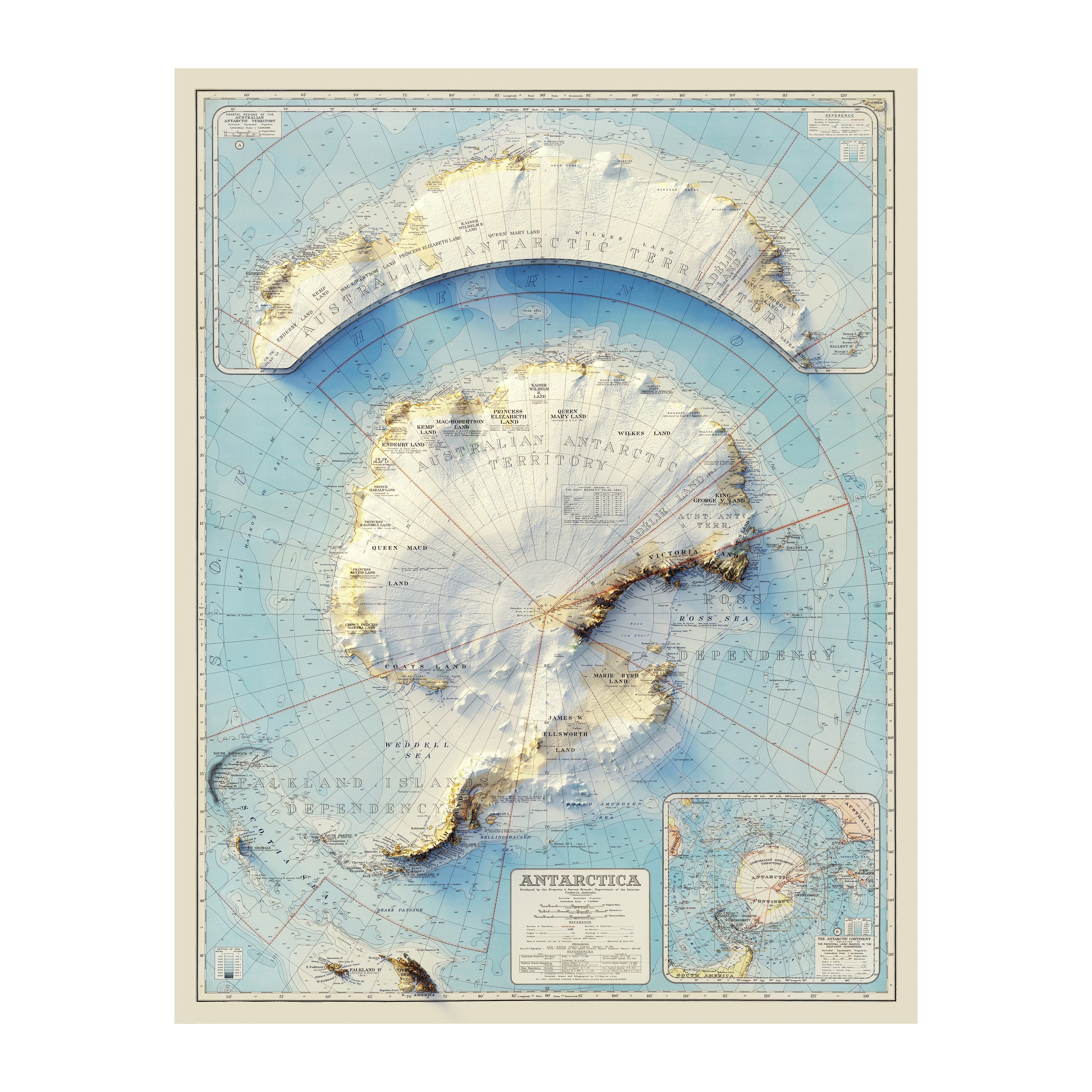
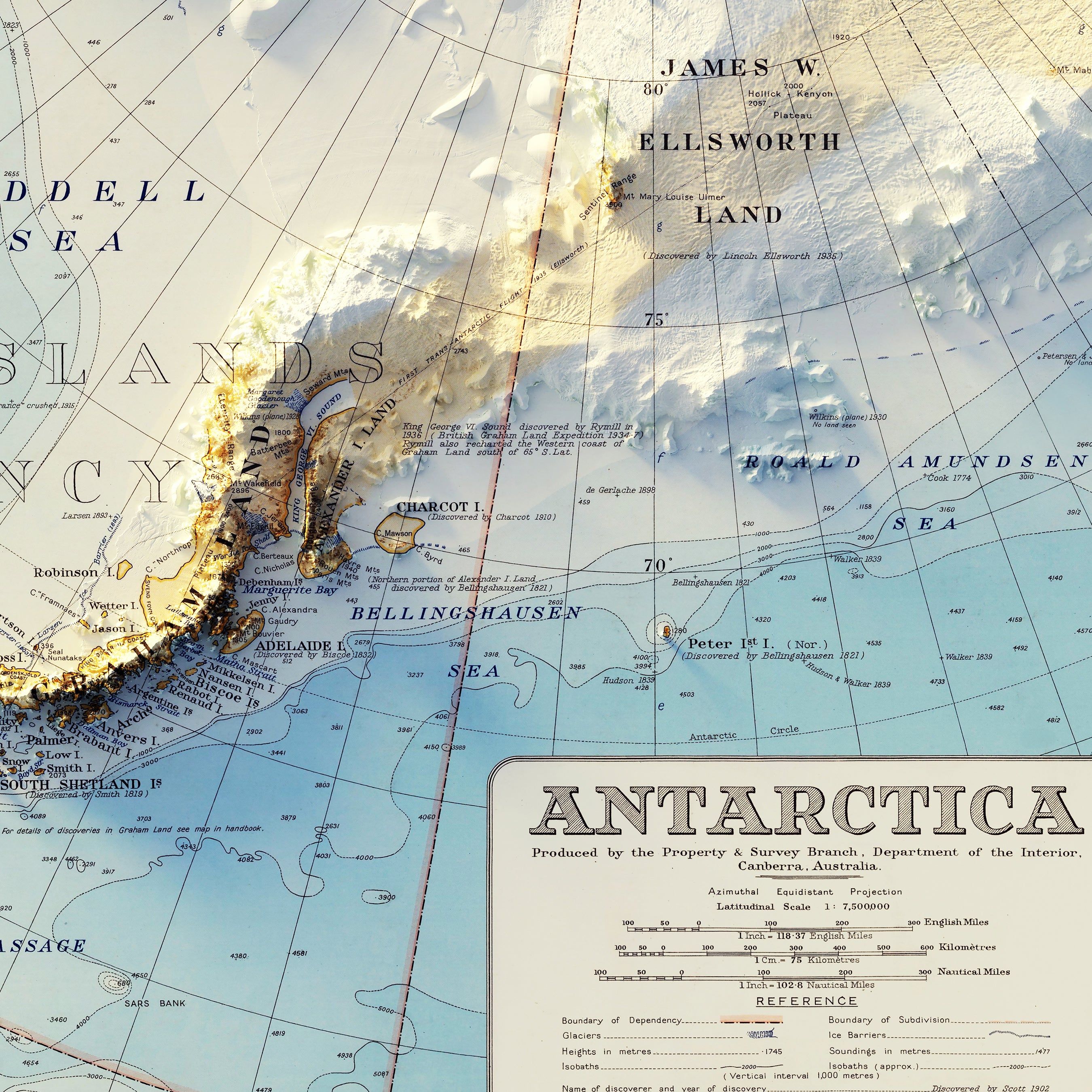
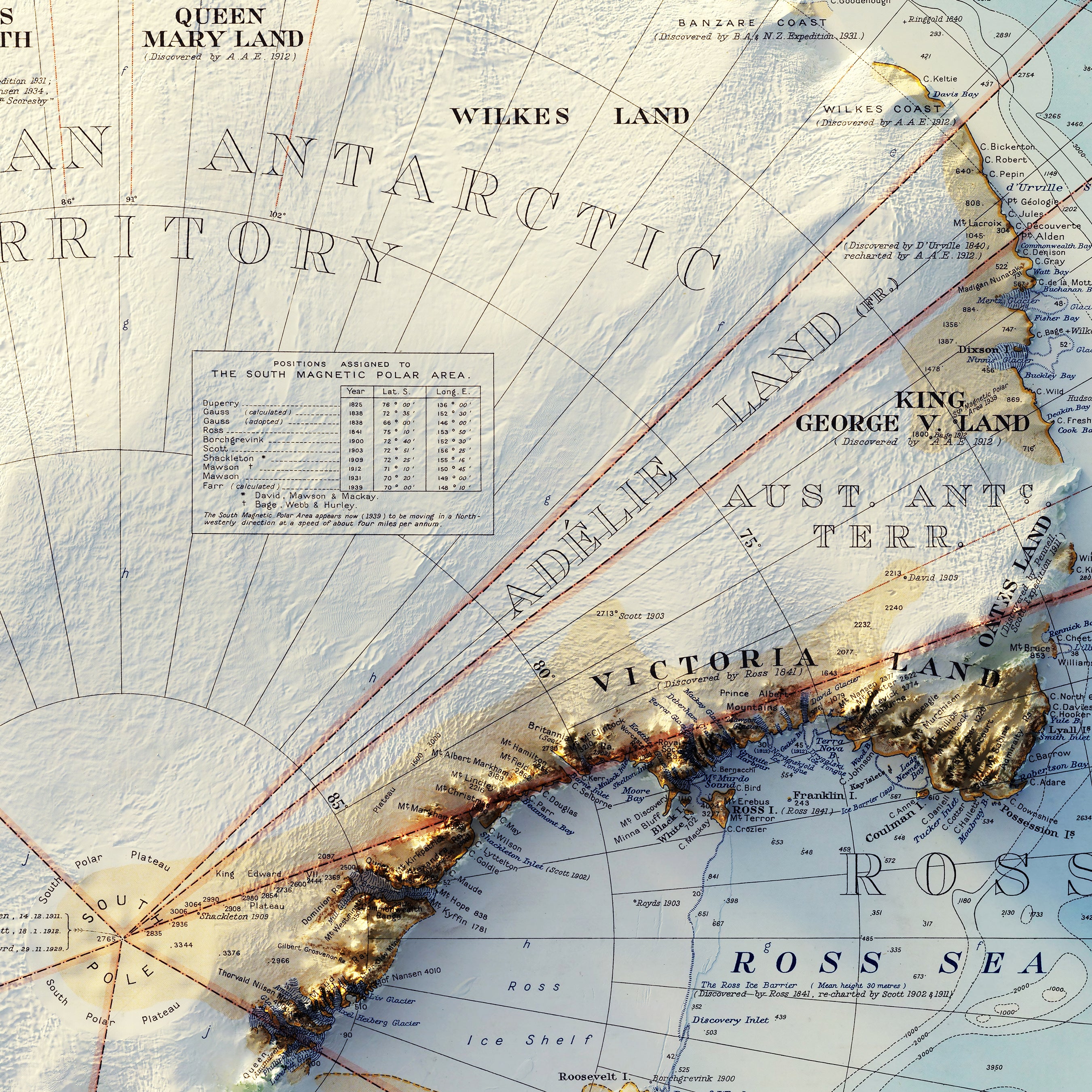
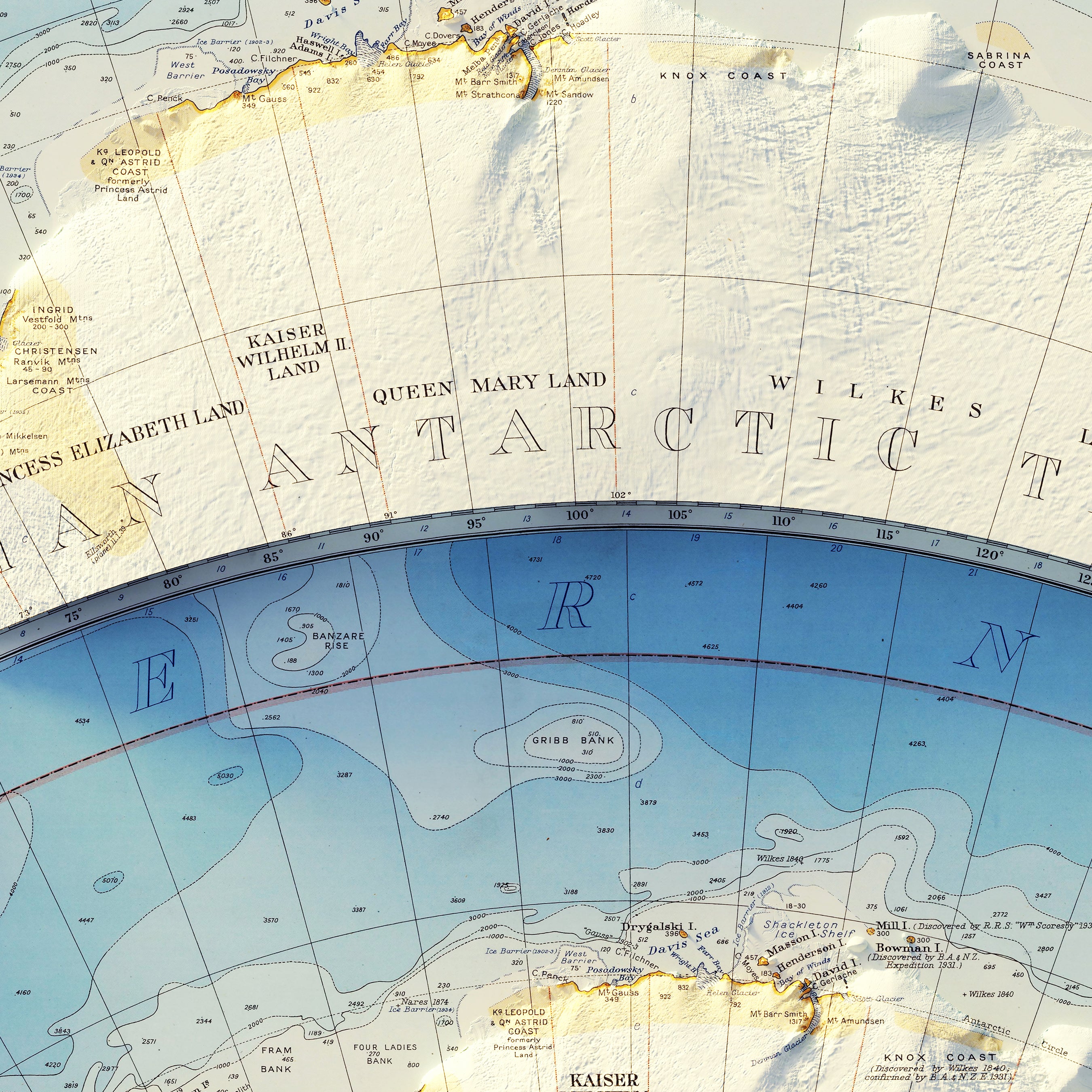
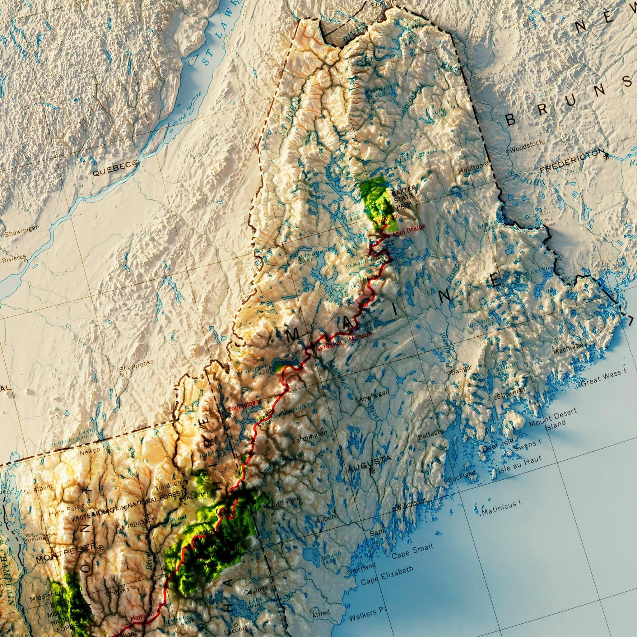
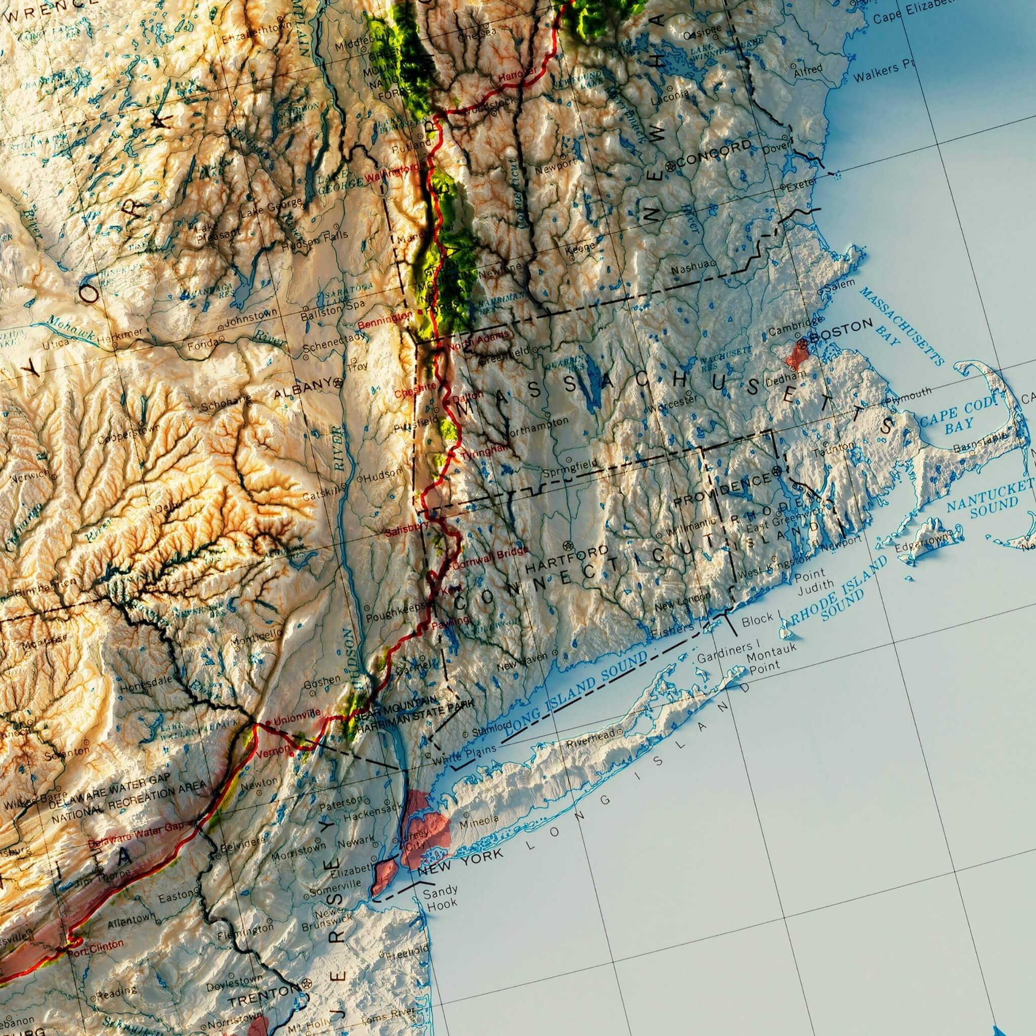
Our Vintage Relief Maps have gone through a painstaking process of restoration before transforming them by adding shaded relief, giving them an incredible 3D appearance. The effect is stunning, breathing new life into these beloved classics. Creating the 3D illusion on these older maps is a meticulous process that involves many steps.
Each vintage relief map we create is a labor of love, requiring thorough attention to detail, preserving the essence of the original while enhancing it for modern aesthetics. Each map in the collection gets digitally remastered before we georeference hundreds of points on the map with modern elevation data that we gather from the USGS. Due to the age of the vintage maps, we have to manipulate the maps to accurately align with the modern data. We use 3D software to create the elevation model that will be applied to the map which aligns with the georeferenced points on the map. We also generate a digital light source to cast shadows on the terrain and create the 3D illusion. Finally, we are ready to integrate the elevation data with the vintage map to create the shaded relief within the map. We adjust the light source, exaggerate the elevation, and correct for any errors in the alignment, brightness, contrast, etc.
Explore the Details of Historical Maps With Our Vintage Relief Maps!
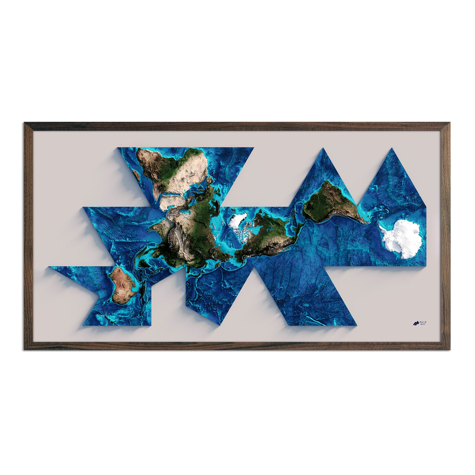
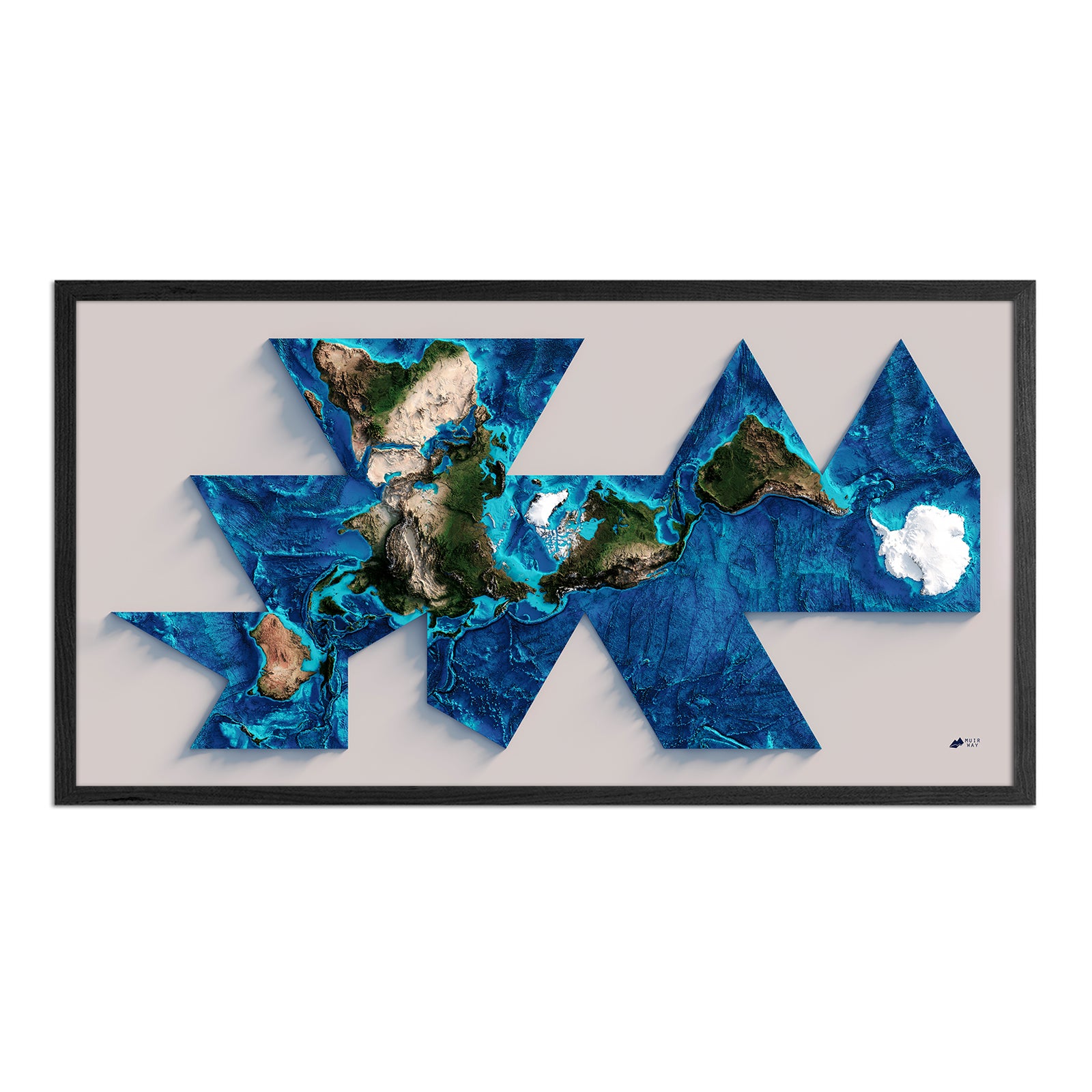
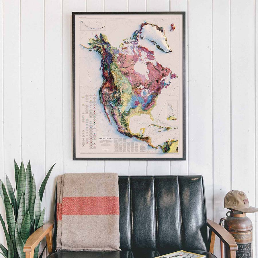
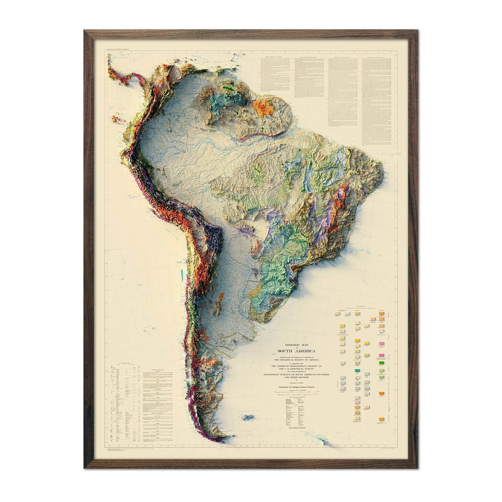
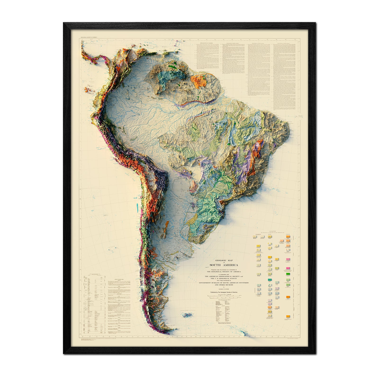
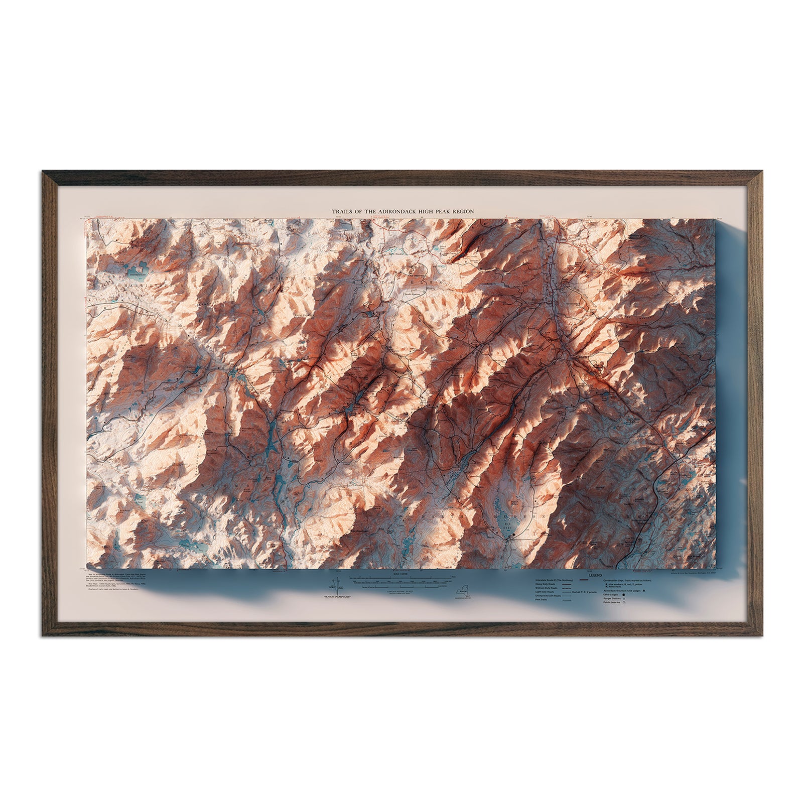
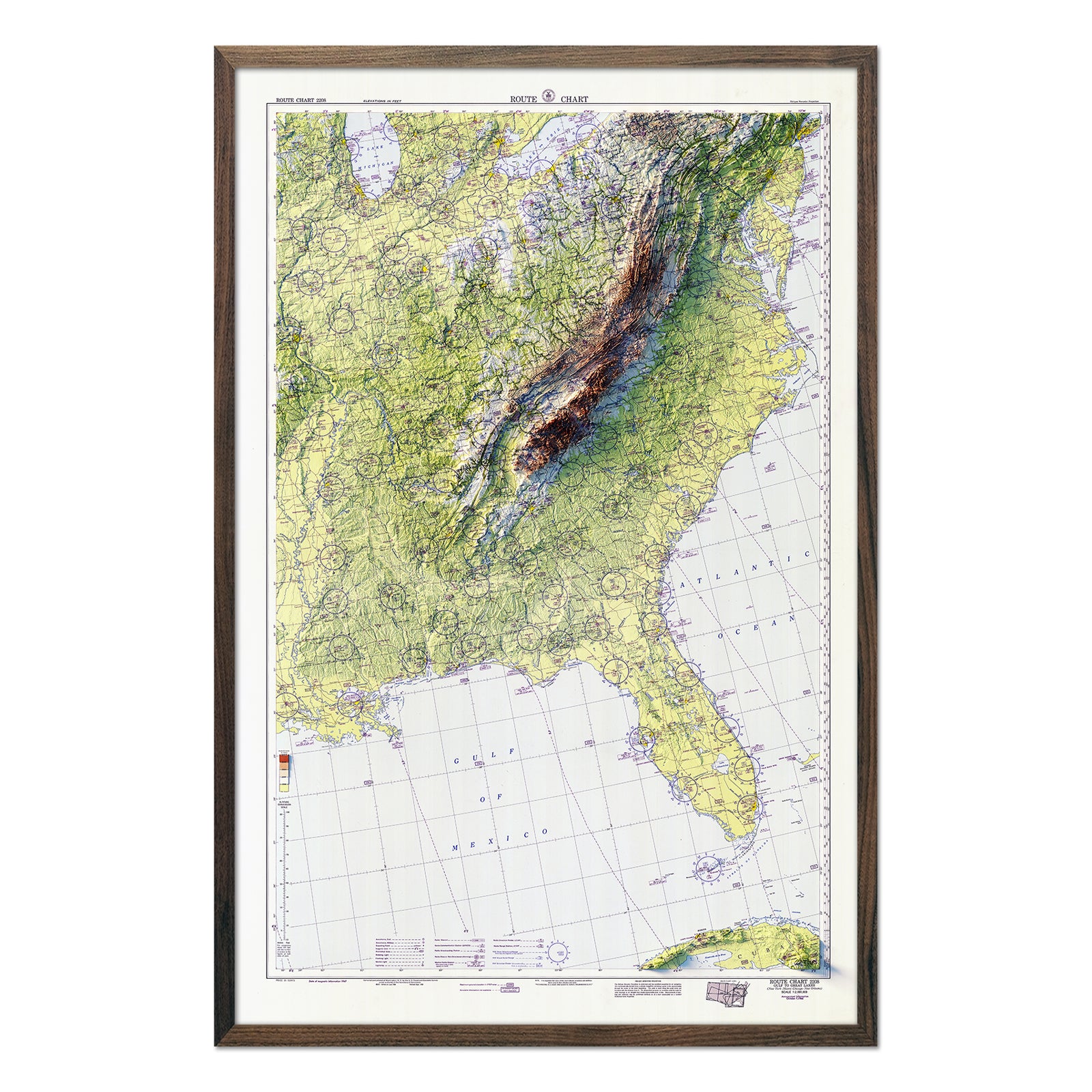
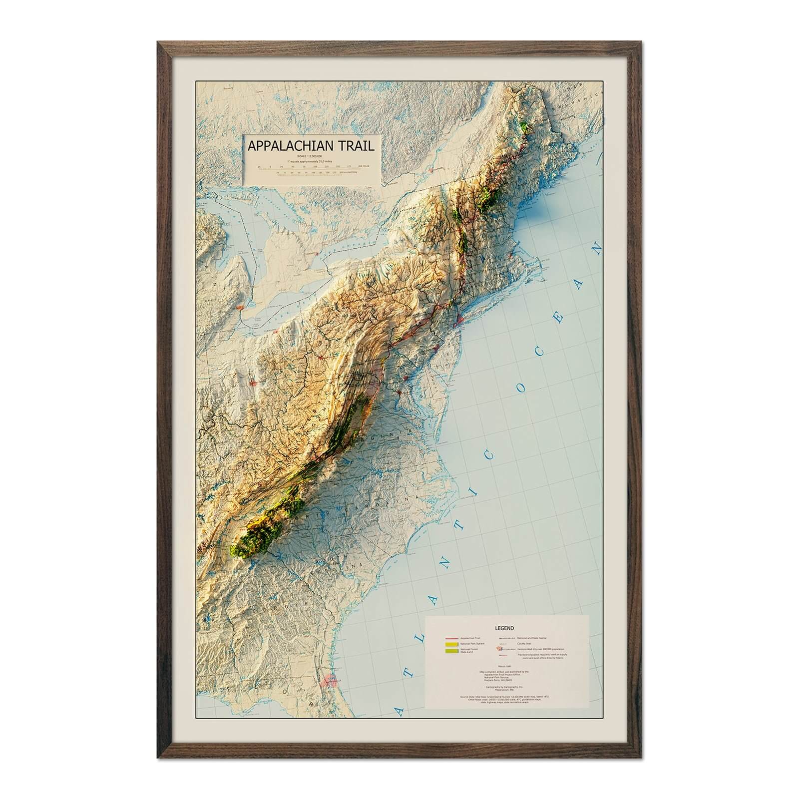
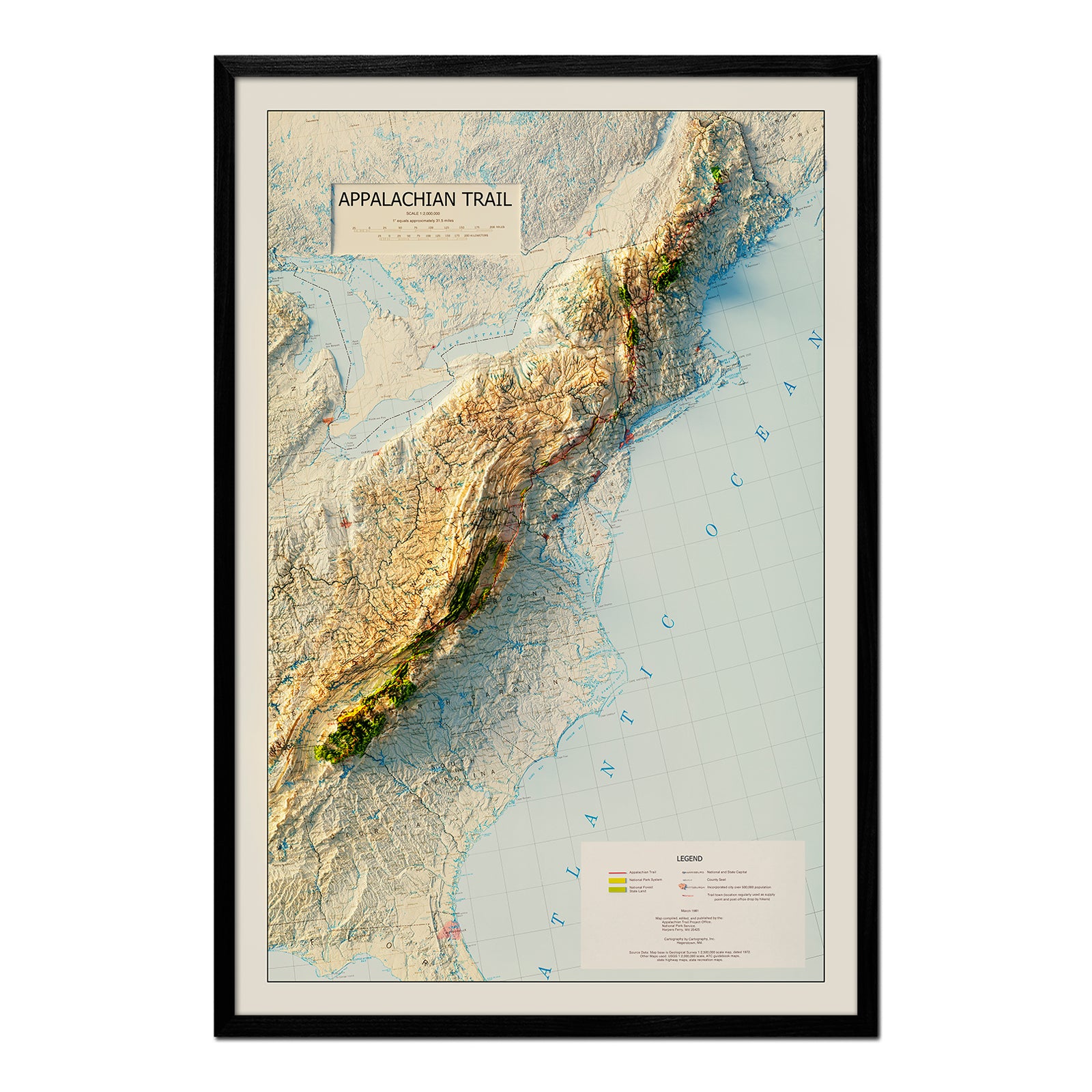
The end product is a stunning piece of wall art, combining the charm of history with the quality of contemporary print technology, making these historical maps a beautiful and original conversation piece.
And, these are just the tip of the iceberg at Muir Way. From maps of national parks to maps of US mountain ranges, we have a collection for everyone. Whether you're a history buff, a geographer, or simply someone with a keen eye for unique décor, our vintage relief maps for sale offer something for everyone. Browse our collection today and take a step back in time.


